
Photo: Wikipedia
Strategic Assessment of Tazewell County
Meaningful friction. Expect exposure to either population pressure, blast zones, or natural disaster risk. Consider buying a retreat property.
What does the Strategic Assessment tell us?
Our Strategic Assessment grades tactical survivability of an area. Major population centers, military targets, fallout zones, natural disasters, and border exposure all drive risk — lower exposure means a more defensible position in a crisis.
This is heavily inspired by Joel Skousen's Strategic Relocation book. Highly recommended you checkout the book ($)What does this tell us?
Our Strategic Assessment grades tactical survivability of an area. Major population centers, military targets, fallout zones, natural disasters, and border exposure all drive risk — lower exposure means a more defensible position in a crisis.
This is heavily inspired by Joel Skousen's Strategic Relocation book. Highly recommended you checkout the book ($)Strategic Pillars

Key Distances
Strategic Assessment Analysis
Tazewell County, Illinois, offers a resilience profile that is quietly stronger than its unassuming Midwest reputation suggests, anchored by its position along the Illinois River and its distance from the nation's most critical target zones. For a relocator weighing disaster preparedness and self-sufficiency, the county provides a workable balance of agricultural productivity, industrial capacity, and a population density low enough to avoid the worst of urban cascading failures. The strategic calculus here is not about dramatic geography, but about the unglamorous fundamentals: arable land, fresh water, and a transportation network that keeps the area connected without making it a primary target.
Geographic position and natural advantages for long-term stability
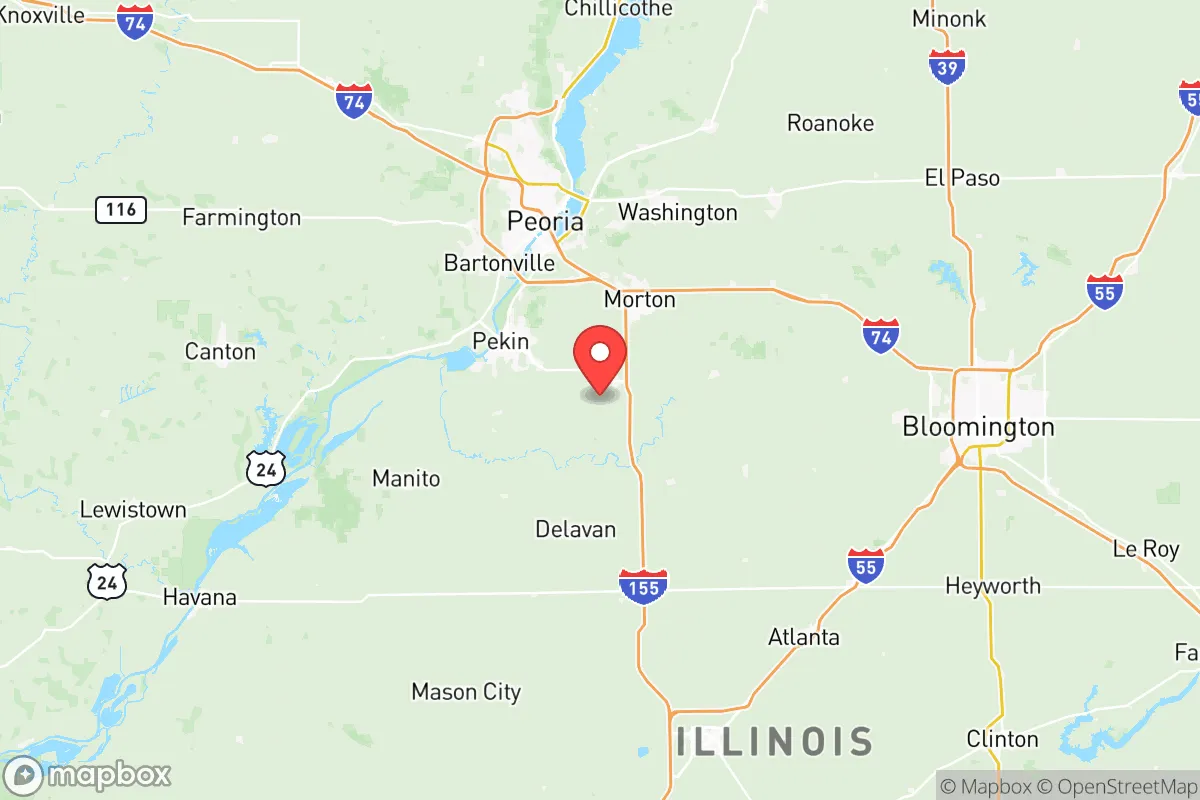
Tazewell County sits in the heart of the Illinois River Valley, roughly 10 miles south of Peoria and about 150 miles southwest of Chicago. The county seat, Pekin, is the largest municipality, with a population near 32,000, followed by smaller communities like Morton, Washington, East Peoria, and Tremont. The Illinois River forms the county's western boundary, providing a reliable surface water source that most inland counties lack. This is a meaningful advantage for a resilience-minded relocator: the river supports municipal water intake, agricultural irrigation, and a barge network that moves grain and fuel efficiently even if rail or truck lines are disrupted.
The terrain is predominantly flat, glaciated prairie with some of the most productive topsoil in the world. That is not a minor detail for a self-sufficiency assessment. The county sits within the Corn Belt, and its agricultural output is substantial enough that local food supply chains are short and robust. The presence of large-scale grain elevators in Pekin and Morton means that even in a regional disruption, the area is more likely to be a net food exporter than a dependent importer. The climate is continental, with cold winters and hot, humid summers, but it is not prone to the catastrophic wildfire, hurricane, or seismic risks that plague other parts of the country. Tornado risk is real but manageable, and the county's flat terrain means warning times are generally adequate.
Risks, exposures, and proximity to fallout-relevant landmarks
The most significant risk exposure for Tazewell County is not natural but industrial and logistical. The county is home to a major ethanol plant in Pekin, a large corn-processing facility, and several chemical and fertilizer operations along the river corridor. These facilities are not nuclear targets, but they do present a localized hazard in the event of an accident or a deliberate attack on industrial infrastructure. A relocator should be aware that the Illinois River barge traffic includes fuel and chemical shipments, so the immediate riverfront areas carry a slightly elevated risk profile compared to inland residential neighborhoods.
In terms of strategic targeting, Tazewell County is in a relatively favorable position. The nearest major military installation is Scott Air Force Base, near Belleville, roughly 150 miles to the southwest. The county is not within the immediate fallout shadow of any major nuclear target. Chicago, the most likely target in the state, is far enough away that prevailing westerly winds would carry fallout eastward, away from Tazewell County. Peoria, with its industrial base and Caterpillar headquarters, is a potential secondary target, but it is only about 10 miles north of the county line, meaning a strike on Peoria would put Tazewell County in a moderate fallout zone depending on wind direction. The practical takeaway is that the county is not a primary target, but it is close enough to a secondary one that a serious preparedness plan should include a shelter-in-place capability for at least 48 hours.
Practical resilience for a relocator: food, water, energy, and defensibility
For a relocator focused on practical resilience, Tazewell County scores well on food and water, moderately on energy, and reasonably on defensibility. The county's agricultural base means that local farmers' markets, CSAs, and direct-from-farm purchasing are viable options, particularly in the growing season. Morton is known as the "Pumpkin Capital of the World," and the surrounding area has a dense network of small farms that supply fresh produce, meat, and dairy. For long-term food security, the ability to buy directly from producers is a significant advantage over suburban counties that depend entirely on grocery store supply chains.
Water is the county's strongest resilience asset. The Illinois River provides a redundant water source, and most municipalities in the county draw from deep aquifers that are less vulnerable to surface contamination. A private well is a realistic option for rural properties, and the water table in the area is generally reliable. For energy, the county is served by Ameren Illinois, and the regional grid is stable, but a relocator should not assume uninterrupted power in a major disruption. Natural gas is widely available, and the county's proximity to the Illinois River barge system means that fuel deliveries can continue even if pipelines are compromised. Solar is a viable supplement, though the county's winter cloud cover reduces its effectiveness compared to sunnier regions.
Defensibility is a more nuanced assessment. The county's flat, open terrain is not naturally defensible, but it does offer clear sightlines and limited choke points. The Illinois River crossings at Pekin and East Peoria are the main access points from the west, and the interstate corridors (I-74 and I-155) are the primary east-west and north-south routes. In a severe disruption, these routes could be controlled, but they also make the area accessible to outside pressure. The county's dispersed population, with no single dense urban core, means that a community-level defense posture is more feasible than in a concentrated city. The presence of a strong local law enforcement presence, including the Tazewell County Sheriff's Office and municipal departments in Pekin, Morton, and Washington, provides a baseline of security that many rural counties lack.
The overall strategic picture for Tazewell County is one of quiet competence. It is not a bug-out destination with dramatic mountains or remote wilderness, but it is a working, productive region that can sustain itself in a way that many suburban and exurban areas cannot. The county's main vulnerabilities are its industrial riverfront and its proximity to Peoria as a secondary target, but these are manageable risks for a prepared relocator. For a family or individual looking for a place that combines agricultural self-sufficiency, reliable water, and a reasonable distance from primary target zones, Tazewell County is a solid, unglamorous choice that rewards long-term thinking over short-term convenience.

* Values derived from national, state, county, city and local statistics and may differ in a specific area. Last updated: 2026-10-27T12:21:43.000Z
Narrative content on this page is AI-generated and may contain mistakes. Verify any details that matter before acting on them.
ReloMaps may earn a commission from affiliate links at no extra cost to you.

