
Photo: Wikipedia
Strategic Assessment of Peoria County
Meaningful friction. Expect exposure to either population pressure, blast zones, or natural disaster risk. Consider buying a retreat property.
What does the Strategic Assessment tell us?
Our Strategic Assessment grades tactical survivability of an area. Major population centers, military targets, fallout zones, natural disasters, and border exposure all drive risk — lower exposure means a more defensible position in a crisis.
This is heavily inspired by Joel Skousen's Strategic Relocation book. Highly recommended you checkout the book ($)What does this tell us?
Our Strategic Assessment grades tactical survivability of an area. Major population centers, military targets, fallout zones, natural disasters, and border exposure all drive risk — lower exposure means a more defensible position in a crisis.
This is heavily inspired by Joel Skousen's Strategic Relocation book. Highly recommended you checkout the book ($)Strategic Pillars

Key Distances
Strategic Assessment Analysis
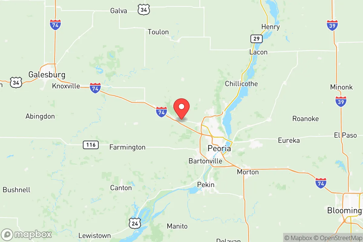
Peoria County, Illinois, offers a compelling mix of Midwestern stability and strategic depth for those prioritizing disaster readiness and self-sufficiency. Its location along the Illinois River, roughly 150 miles southwest of Chicago, places it outside the immediate blast and fallout zones of a major metropolitan target while still providing access to critical supply chains and transportation networks. The county’s economic anchor, the city of Peoria, has a diversified industrial base centered on heavy machinery (Caterpillar’s global headquarters), healthcare, and logistics, which underpins a relatively resilient local economy less prone to the boom-and-bust cycles of single-industry towns.
Geographic position and natural advantages for long-term stability
Peoria County sits at a natural crossroads, defined by the Illinois River Valley and the bluffs that rise above it. The river itself is a major navigable waterway connecting to the Mississippi River system, offering a potential low-energy transport route for bulk goods and a reliable surface water source. The surrounding terrain is a mix of fertile farmland and wooded bluffs, particularly in the areas around Chillicothe and Dunlap, which provide natural drainage and defensible high ground away from the floodplain. The county is part of the greater "Corn Belt," meaning local food production capacity is exceptionally high; the rural townships of Limestone and Hollis are dominated by row-crop agriculture and livestock operations. This agricultural base is a tangible resilience asset, reducing dependence on long-distance food supply chains. The climate is continental, with cold winters and hot, humid summers, which presents challenges for off-grid living (heating, crop storage) but also reduces the risk of the extreme weather events (hurricanes, wildfires, drought) that plague other regions.
Risk exposure, industrial targets, and proximity to fallout-relevant landmarks
While Peoria County is not a primary nuclear target, it is not a blank slate. The county hosts several facilities that could become secondary or tertiary targets in a major conflict. The most prominent is the Caterpillar Inc. global headquarters and large manufacturing complex in downtown Peoria, which produces heavy earthmoving equipment with dual-use military applications. The Greater Peoria Regional Airport (PIA), which hosts the 182nd Airlift Wing of the Illinois Air National Guard, is a military installation that could be a target for a kinetic or cyber attack. Additionally, the county is within the fallout plume radius of a strike on the Scott Air Force Base (roughly 130 miles south) or the Argonne National Laboratory near Chicago (150 miles northeast). Natural disaster risks are moderate: the primary threats are riverine flooding from the Illinois River, particularly in low-lying areas of Peoria Heights and East Peoria (across the river in Tazewell County), and occasional severe thunderstorms with tornadoes. The county sits atop the New Madrid Seismic Zone, which means a major earthquake (estimated 7.0+ magnitude) is a low-probability, high-consequence risk that could disrupt river transport and damage older infrastructure.
Practical resilience for a relocator: food, water, energy, and defensibility
For a relocator focused on self-sufficiency, Peoria County offers a strong baseline. Water is abundant: the Illinois River is a massive surface water source, and the underlying Mahomet Aquifer provides high-quality groundwater for wells in rural areas. Municipal water treatment is generally reliable, but a well with a hand pump is a realistic option outside city limits. Food security is excellent: the county is surrounded by working farms, and the Peoria area has multiple farmers' markets, grain elevators, and livestock auctions. Hunting (deer, turkey, waterfowl) is accessible in the county's many conservation areas, including Jubilee College State Park and the Mackinaw River Valley. Energy resilience is mixed: the grid is served by Ameren Illinois, with power generation from coal, natural gas, and some nuclear (the Clinton Power Station is 90 miles east). Solar potential is moderate (cloud cover is frequent), but wood heating is viable given the forested bluffs. Defensibility varies sharply by location. The river valley and urban areas of Peoria are hard to secure, but the rural townships and bluff communities offer natural chokepoints, limited road access, and good line-of-sight. Properties along the bluffs near Brimfield or Princeville provide the best combination of seclusion, water access, and agricultural proximity.
Overall, Peoria County presents a balanced strategic picture for the disaster-conscious relocator. It avoids the extreme risks of coastal or border regions while offering genuine, tangible assets in water and food production. The presence of industrial and military targets within the county is a real but manageable risk, especially if a relocator chooses a rural bluff property away from the river valley and the city of Peoria itself. The area is not a remote bunker location, but it is a functional, resilient community where a prepared individual or family can integrate into an existing network of farms, small towns, and regional infrastructure. For those who value proximity to supply chains and community support over absolute isolation, Peoria County is a defensible and practical choice in the Midwest.

* Values derived from national, state, county, city and local statistics and may differ in a specific area. Last updated: 2026-07-17T15:52:30.000Z
Narrative content on this page is AI-generated and may contain mistakes. Verify any details that matter before acting on them.
ReloMaps may earn a commission from affiliate links at no extra cost to you.

