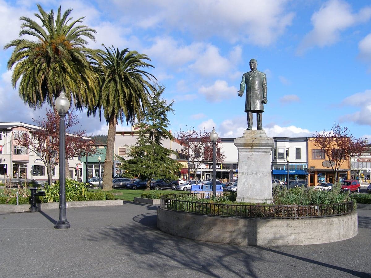
Photo: Wikipedia
Strategic Assessment of Arcata, CA
Meaningful friction. Expect exposure to either population pressure, blast zones, or natural disaster risk. Consider buying a retreat property.
What does the Strategic Assessment tell us?
Our Strategic Assessment grades tactical survivability of an area. Major population centers, military targets, fallout zones, natural disasters, and border exposure all drive risk — lower exposure means a more defensible position in a crisis.
This is heavily inspired by Joel Skousen's Strategic Relocation book. Highly recommended you checkout the book ($)What does this tell us?
Our Strategic Assessment grades tactical survivability of an area. Major population centers, military targets, fallout zones, natural disasters, and border exposure all drive risk — lower exposure means a more defensible position in a crisis.
This is heavily inspired by Joel Skousen's Strategic Relocation book. Highly recommended you checkout the book ($)Strategic Pillars

Key Distances
Regional Safe Places
Below is our recommended "safe zones" in California and the surrounding area based on our strategic heuristics. For most people, it's unrealistic to live in a “safe zone” full-time due to work, family or other personal reasons. They tend to be more rural. However, many of these areas are perfect for second homes and retreat properties that double as a vacation home or even a short-term rental.




Important Note: For informational purposes only. This does not mean nothing bad ever happens in the green zones. Please use common sense. This is based on public data and modeled with AI. We tried to take a conservative approach but mistakes happen. We update this regularly as new information becomes available.
Solar Generator Recommendations
Backup power matters more here than in safer locations. We've picked three solar generators across budgets and capacity tiers — start with the budget unit if you only need a few essentials, or step up if you want to run a fridge and HVAC for days at a time.

Jackery Portable Power Station Explorer 300
Budget OptionPower on the Go: Weighing only 11 lbs, it's convenient to set up and store with book-sized foldable solar panels

BLUETTI Portable Power Station AC180
Designed for both indoor and outdoor scenarios, AC180 is highly capable as it has a robost capacity and continuous output power.

EF ECOFLOW DELTA Pro Ultra Power Station
Upgraded PickEcoFlow DELTA Pro Ultra is a whole-home energy system designed to grow with your family. Integrated with the Smart Home Panel 2, it scales to meet your evolving energy needs — keeping your home powered, intelligent, and secure through every stage of life.
We earn a commission, at no additional cost to you.
Strategic Assessment Analysis
Arcata, California, presents a mixed strategic picture for a relocator prioritizing resilience and self-sufficiency. Its location on the far North Coast offers significant geographic buffers from many of the cascading risks that plague more central and southern parts of the state, but it also introduces distinct vulnerabilities tied to its coastal position and proximity to critical infrastructure. For a conservative-leaning individual or family weighing disaster readiness, Arcata’s advantages are real but conditional, requiring a clear-eyed assessment of trade-offs rather than romantic notions of remote living.
Geographic position and natural advantages for long-term stability
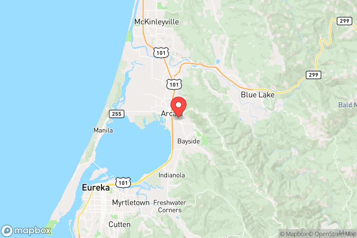
Arcata sits on a narrow coastal plain between Humboldt Bay and the Pacific Ocean to the west and the dense, rugged Coast Range to the east. This positioning provides a natural moat: the mountains create a significant barrier to overland travel from the interior, while the bay and ocean limit approach from the sea. The nearest major population center is Eureka, just south, but the broader region—Humboldt County—is sparsely populated, with roughly 135,000 people spread over 3,500 square miles. This low population density is a genuine strategic asset. In a scenario where supply chains falter or civil unrest spikes in larger cities, Arcata’s relative isolation means fewer people competing for the same local resources. The surrounding redwood forests and mixed-conifer woodlands also offer abundant timber for construction, fuel, and barrier materials, though harvesting requires skill and permits. The climate is a double-edged sword: mild, wet winters and cool, foggy summers reduce wildfire risk compared to inland California, but the persistent dampness creates challenges for food storage, mold management, and off-grid power systems (solar panels under constant cloud cover produce roughly 40-60% of their rated capacity). The area’s seismic risk is moderate to high—the Cascadia subduction zone lies offshore—but the local geology is dominated by Franciscan mélange, which tends to dampen shaking compared to solid bedrock. Still, a major Cascadia earthquake (magnitude 8.0+) would trigger a tsunami; Arcata’s elevation (mostly 20-100 feet above sea level) puts much of the city in the inundation zone, a critical vulnerability discussed below.
Risks, exposures, and proximity to fallout-relevant landmarks
The most immediate man-made risk for Arcata is its proximity to the Humboldt Bay nuclear power plant, located roughly 10 miles south near Eureka. The plant, which houses two decommissioned reactors (PG&E’s Humboldt Bay Power Plant Unit 3 shut down in 1976), still contains spent fuel stored on-site in dry casks. While the facility is no longer generating power, a major seismic event or targeted attack could compromise these casks, releasing radioactive material. Prevailing winds in the region are from the northwest, meaning fallout from a release at the plant would likely blow inland toward Arcata and the surrounding communities. Additionally, Arcata lies within 100 miles of the larger Diablo Canyon nuclear plant (San Luis Obispo County), though the distance and intervening terrain reduce direct risk. Beyond nuclear concerns, the city is near the Port of Humboldt Bay, a deep-water port that handles cargo, fishing vessels, and occasional military traffic. In a conflict scenario, this port could become a target or a chokepoint for maritime traffic. The nearby Arcata-Eureka Airport (ACV) is a small regional facility, but its runway (6,000 feet) can accommodate military transport aircraft, making it a potential logistics node. On the natural hazard side, the Cascadia subduction zone poses the greatest existential threat: a magnitude 9.0 earthquake would generate a tsunami that could inundate low-lying areas of Arcata within 15-30 minutes. The city’s tsunami evacuation maps show that much of the downtown, the waterfront, and the area around Humboldt State University (now Cal Poly Humboldt) are in the hazard zone. For a relocator, this means any property below 30 feet elevation or within a mile of the bay carries a non-trivial risk of being wiped out in a single event. Wildfire risk is lower than in the Sierra foothills or Southern California, but the 2020 Six Rivers Lightning Complex fires burned within 20 miles of Arcata, and the 2022 McKinney Fire (though farther north) demonstrated that dry-season fires can threaten even the coastal fog belt. The region’s dense vegetation, combined with periodic drought, creates a fuel load that could support a fast-moving fire under easterly wind conditions.
Practical resilience for a relocator: food, water, energy, and defensibility
Arcata’s practical resilience is a study in contrasts. Water is a genuine strength: the city draws from the Mad River and the Trinity River watershed, both fed by substantial winter rainfall (40-60 inches annually). Groundwater is available in the alluvial valleys, though wells in the coastal plain can be shallow and subject to saltwater intrusion near the bay. For a relocator, securing a property with a legal, permitted well and a rainwater catchment system is feasible, though the permitting process in Humboldt County can be slow and bureaucratic. Food is more complex. The region has a strong local food movement—farmers’ markets, community gardens, and small-scale organic farms are common—but the growing season is short and cool, limiting staple crops like corn, tomatoes, and winter squash. Potatoes, greens, root vegetables, and berries do well, but a self-sufficient household would need to supplement with stored grains, legumes, and protein sources. Fishing in Humboldt Bay and the nearby rivers (salmon, steelhead, rockfish) is excellent, but it requires skill, gear, and a license, and the ocean is often too rough for small boats. Hunting for deer and elk is possible in the surrounding national forests (Six Rivers, Klamath), but competition from other hunters is increasing. Energy is a weak point. The local grid is served by PG&E, which has a history of Public Safety Power Shutoffs (PSPS) during dry, windy conditions. Off-grid solar is viable but, as noted, requires oversizing panels and battery storage to account for weeks of overcast weather. Micro-hydro from a creek or stream is an option for properties with year-round flow, but such sites are rare and expensive to develop. Propane is widely available for heating and cooking, but supply chains could be disrupted in a crisis. Defensibility is mixed. Arcata itself is a small city (population ~18,000) with a dense, walkable core and a strong sense of community, but it is not a gated enclave. The surrounding rural areas—like the communities of McKinleyville, Blue Lake, and the Jacoby Creek area—offer more space and natural chokepoints (narrow roads, bridges over creeks) that could be monitored or defended. However, the region’s reputation as a haven for counterculture and progressive politics means that a conservative-leaning relocator may find social friction, though the practical-minded locals (loggers, fishermen, ranchers) are often more pragmatic than ideological. The biggest defensive liability is the single major road in and out: Highway 101, which runs north-south through the county. A landslide, earthquake, or deliberate blockage could isolate Arcata for days or weeks. The alternative route, Highway 299 east to Redding, is winding, narrow, and prone to rockfalls. For a relocator, the key is to choose a property with multiple egress options—ideally on a secondary road that connects to a network of logging roads or forest service routes.
The overall strategic picture for Arcata is one of a moderately resilient outpost with significant natural buffers but real, specific vulnerabilities. Its isolation from major population centers is a double-edged sword: it reduces exposure to cascading urban collapse but also limits access to specialized medical care, heavy equipment, and resupply. The nuclear plant and tsunami risk are non-negotiable hazards that any relocator must map and plan for. For a family willing to invest in off-grid infrastructure, learn local food systems, and accept the social and climatic realities of the North Coast, Arcata offers a defensible, resource-rich base. But it is not a bug-out location for the unprepared—it demands serious advance work, a tolerance for damp weather, and a clear-eyed acceptance that the same geography that keeps trouble out can also keep you in.

* Values derived from national, state, county, city and local statistics and may differ in a specific area. Last updated: 2026-10-05T17:08:23.000Z
Narrative content on this page is AI-generated and may contain mistakes. Verify any details that matter before acting on them.
ReloMaps may earn a commission from affiliate links at no extra cost to you.

