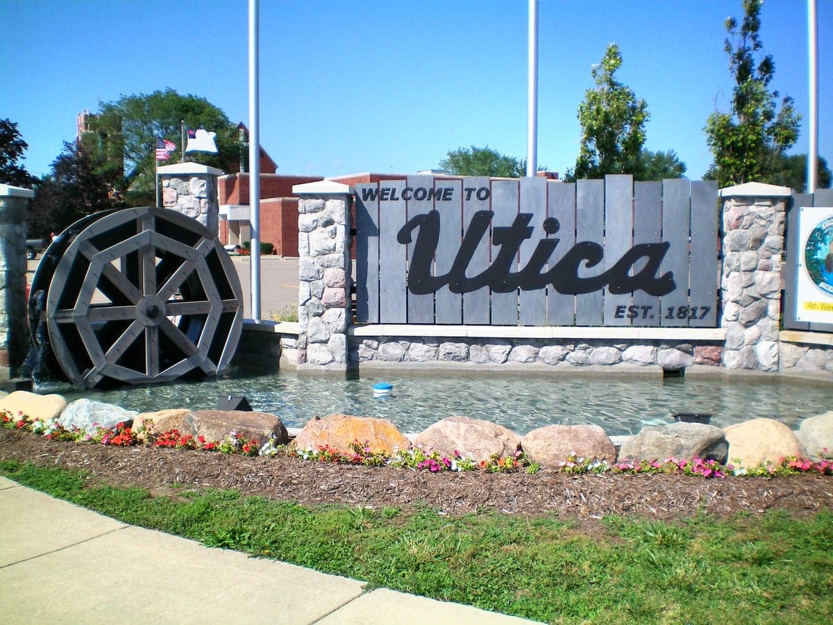
Photo: Wikipedia
Strategic Assessment of Utica, MI
Multiple tactical vulnerabilities. Population density, target proximity, or disaster risk are likely compounding. A retreat property and exit planning is required.
What does the Strategic Assessment tell us?
Our Strategic Assessment grades tactical survivability of an area. Major population centers, military targets, fallout zones, natural disasters, and border exposure all drive risk — lower exposure means a more defensible position in a crisis.
This is heavily inspired by Joel Skousen's Strategic Relocation book. Highly recommended you checkout the book ($)What does this tell us?
Our Strategic Assessment grades tactical survivability of an area. Major population centers, military targets, fallout zones, natural disasters, and border exposure all drive risk — lower exposure means a more defensible position in a crisis.
This is heavily inspired by Joel Skousen's Strategic Relocation book. Highly recommended you checkout the book ($)Strategic Pillars

Key Distances
Regional Safe Places
Below is our recommended "safe zones" in Michigan and the surrounding area based on our strategic heuristics. For most people, it's unrealistic to live in a “safe zone” full-time due to work, family or other personal reasons. They tend to be more rural. However, many of these areas are perfect for second homes and retreat properties that double as a vacation home or even a short-term rental.


Important Note: For informational purposes only. This does not mean nothing bad ever happens in the green zones. Please use common sense. This is based on public data and modeled with AI. We tried to take a conservative approach but mistakes happen. We update this regularly as new information becomes available.
Solar Generator Recommendations
Backup power matters more here than in safer locations. We've picked three solar generators across budgets and capacity tiers — start with the budget unit if you only need a few essentials, or step up if you want to run a fridge and HVAC for days at a time.

Jackery Portable Power Station Explorer 300
Budget OptionPower on the Go: Weighing only 11 lbs, it's convenient to set up and store with book-sized foldable solar panels

BLUETTI Portable Power Station AC180
Designed for both indoor and outdoor scenarios, AC180 is highly capable as it has a robost capacity and continuous output power.

EF ECOFLOW DELTA Pro Ultra Power Station
Upgraded PickEcoFlow DELTA Pro Ultra is a whole-home energy system designed to grow with your family. Integrated with the Smart Home Panel 2, it scales to meet your evolving energy needs — keeping your home powered, intelligent, and secure through every stage of life.
We earn a commission, at no additional cost to you.
Strategic Assessment Analysis
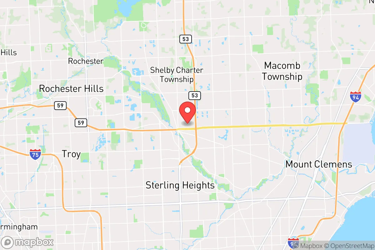
Utica, Michigan, offers a surprisingly strong strategic position for the relocation-minded reader who values resilience, sitting at a deliberate distance from the immediate blast and fallout zones of Detroit while still maintaining access to the economic and logistical arteries of the Great Lakes region. Its location in Macomb County places it roughly 20 miles north of downtown Detroit, far enough to avoid the worst of a major metropolitan disruption but close enough to leverage its infrastructure when conditions are stable. The city’s character as a stable, middle-to-upper-middle-class suburb with a strong local government and a history of steady growth suggests a community that is not prone to panic or rapid degradation, a key intangible in any preparedness assessment.
Geographic position and natural advantages for long-term stability
Utica’s primary geographic advantage is its position within the Clinton River watershed, which provides a reliable freshwater source that is less vulnerable to contamination than the heavily industrialized Detroit River. The area sits on relatively high ground compared to the flood-prone regions of southeastern Michigan, with elevations around 600 feet above sea level, reducing the risk of catastrophic flooding even during extreme weather events. The surrounding landscape is a mix of suburban development and remnant agricultural land, with the nearby Stony Creek Metropark and the larger Macomb County park system offering green space that could serve as a buffer zone or a source of foraging and timber in a prolonged emergency. The region’s temperate climate, while subject to harsh winters, also means that water is abundant year-round through snowmelt and regular precipitation, a critical factor for self-sufficiency that arid regions cannot match. The proximity to Lake St. Clair, roughly 10 miles east, provides an additional freshwater reservoir and a potential transportation corridor if roads become impassable, though the lake’s shoreline is heavily developed and would be a contested resource in a crisis.
Risks, exposures, and proximity to fallout-relevant landmarks
The most significant risk for Utica is its proximity to Detroit and the industrial and military infrastructure of southeastern Michigan. The city lies within the fallout plume zone of potential targets such as the Detroit Metropolitan Airport, the Ambassador Bridge, and the Ford River Rouge Complex, all of which are within 25-30 miles. In a nuclear exchange scenario, prevailing westerly winds would carry fallout from these targets toward the east and northeast, meaning Utica is in a moderate-risk corridor rather than a high-risk one, but it is not safe. The Selfridge Air National Guard Base in Harrison Township, roughly 12 miles east, is a more immediate concern; while not a primary strategic target, it houses fighter aircraft and fuel storage that could be a secondary aim. Beyond man-made risks, the area faces natural hazards typical of the Great Lakes region: severe thunderstorms, tornadoes (though less frequent than in the Plains), and the occasional ice storm that can knock out power for days. The aging electrical grid in Macomb County is a known vulnerability, with outages occurring several times a year during peak weather events. The presence of multiple chemical plants and refineries along the Detroit River and in the Downriver area means that an industrial accident or sabotage could release toxic plumes that would drift northward, though Utica’s distance provides some dilution. The city’s location near major highways (I-94, I-75, M-59) is a double-edged sword: excellent for evacuation or supply movement in normal times, but a choke point for refugees fleeing Detroit in a crisis, potentially turning the area into a bottleneck.
Practical resilience for a relocator: food, water, energy, and defensibility
For a relocator focused on practical self-sufficiency, Utica presents a mixed picture. The city’s water supply comes from the Detroit Water and Sewerage Department, which draws from the Detroit River and is treated at a large, centralized plant. This system is vulnerable to contamination, power loss, or sabotage, so a relocator should plan for a backup water source: a well is not standard in most Utica homes, but rainwater collection is feasible given the region’s 30+ inches of annual precipitation, and the Clinton River is accessible for purification. Food resilience is moderate: the area has several large grocery chains (Meijer, Kroger) and a farmers’ market in nearby Shelby Township, but local agricultural production is limited to small hobby farms and community gardens. For serious food security, a relocator would need to look to the rural areas north of M-59, where larger plots and farmland are available. Energy resilience is a weak point: the grid is reliable in normal times but prone to weather-related outages, and natural gas is the primary heating fuel for most homes. Solar panel adoption is growing but not yet widespread, and local zoning codes in Utica’s older neighborhoods may restrict some off-grid installations. Defensibility is the area’s strongest suit: Utica is a compact, walkable city with a historic downtown core that can be easily secured, and the surrounding suburban sprawl provides a natural buffer of distance and density that makes it harder for a large, disorganized group to approach unnoticed. The local police department is well-funded and responsive, and the community’s general affluence means that most homes have sturdy construction, basements for shelter, and fenced yards. However, the lack of natural barriers—no rivers wide enough to be impassable, no mountains, no dense forests—means that a determined group could approach from any direction. The presence of multiple schools, churches, and municipal buildings offers potential community gathering points and supply distribution centers, but these would also be targets for looting in a breakdown scenario.
Overall, Utica offers a solid strategic baseline for a relocator who wants to be near the economic opportunities of a major metro area without being directly in the kill zone. Its freshwater access, moderate climate, and stable community structure are genuine advantages, while its proximity to Detroit and the associated risks of fallout, industrial accidents, and refugee flows are the primary liabilities. For a family or individual willing to invest in backup water storage, a generator, and a well-stocked pantry, Utica can be a defensible and livable location for the long haul. The key is to treat it as a base of operations rather than a fortress: maintain situational awareness, build relationships with neighbors, and have a plan for a secondary retreat further north into the Thumb region or the Upper Peninsula if conditions deteriorate beyond what a suburb can handle. In the calculus of resilience, Utica scores well on stability and resources, but it demands that a relocator stay alert to the risks that come with being within the orbit of a major city.

* Values derived from national, state, county, city and local statistics and may differ in a specific area. Last updated: 2026-10-05T07:45:18.000Z
Narrative content on this page is AI-generated and may contain mistakes. Verify any details that matter before acting on them.
ReloMaps may earn a commission from affiliate links at no extra cost to you.

