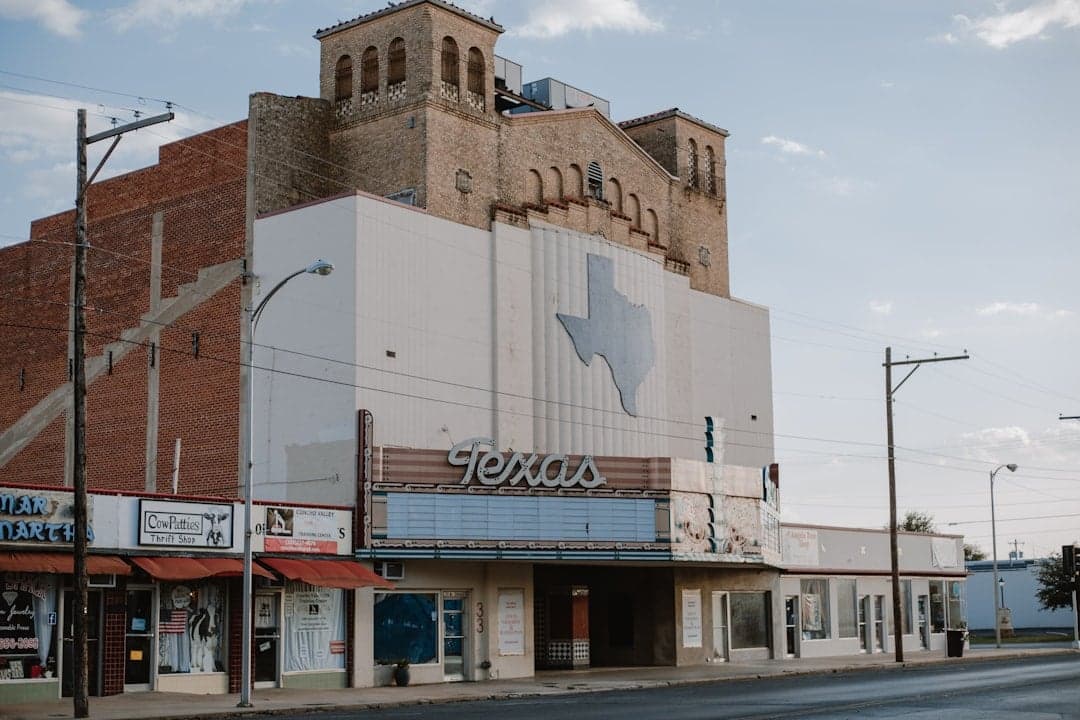
Photo: Courtney Rose via Unsplash
Strategic Assessment of Mcculloch County
Strong survivability profile. Good buffer from population centers, with manageable environmental and tactical risks.
What does the Strategic Assessment tell us?
Our Strategic Assessment grades tactical survivability of an area. Major population centers, military targets, fallout zones, natural disasters, and border exposure all drive risk — lower exposure means a more defensible position in a crisis.
This is heavily inspired by Joel Skousen's Strategic Relocation book. Highly recommended you checkout the book ($)What does this tell us?
Our Strategic Assessment grades tactical survivability of an area. Major population centers, military targets, fallout zones, natural disasters, and border exposure all drive risk — lower exposure means a more defensible position in a crisis.
This is heavily inspired by Joel Skousen's Strategic Relocation book. Highly recommended you checkout the book ($)Strategic Pillars

Key Distances
Strategic Assessment Analysis
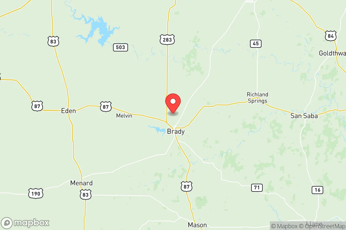
McCulloch County, anchored by the seat of Brady, offers a strategic relocation option for those prioritizing disaster readiness and self-sufficiency in a rural, low-density setting. Located roughly equidistant from Austin, San Angelo, and Abilene, the county sits in the Texas Hill Country's western edge, providing a buffer from major metropolitan fallout zones while maintaining access to essential supply routes. With a population under 8,000 and a land area of over 1,000 square miles, the county presents a compelling combination of geographic isolation, agricultural self-reliance, and low exposure to high-risk industrial targets.
Geographic position and natural advantages for long-term security
McCulloch County's location in west-central Texas places it in a sweet spot for resilience: far enough from the state's major population centers to avoid the worst of urban collapse scenarios, yet close enough to reach them for resupply or medical evacuation if needed. The county sits along U.S. Highway 87 and U.S. Highway 377, providing two primary evacuation corridors that run north-south and east-west, respectively. The terrain is rolling hills and limestone bedrock, with the San Saba River cutting through the southern portion of the county near the town of Rochelle. This river, along with numerous creeks and stock tanks, provides a reliable surface water source—critical for long-term self-sufficiency. The county's elevation (averaging 1,600 feet) offers a slight cooling advantage over the lower-lying areas to the east, and the thin but workable soils support ranching and limited crop farming. The area's low population density—roughly 7 people per square mile—means that in a crisis, competition for resources would be far less intense than in suburban or urban settings.
Risks, exposures, and proximity to fallout-relevant landmarks
While McCulloch County avoids the worst of Texas's industrial and military targets, it is not entirely free of risk. The most significant nearby landmark is Fort Cavazos (formerly Fort Hood), located approximately 90 miles northeast near Killeen. This major Army post, home to over 40,000 active-duty personnel, is a high-value target in any conflict scenario. Fallout patterns from a strike on Fort Cavazos would depend on wind direction, but prevailing winds in the region generally blow from the south and southwest, meaning McCulloch County could be downwind in certain conditions. Additionally, the Permian Basin oil fields lie about 120 miles west, with associated refineries and chemical plants near Midland and Odessa that could be secondary targets. The county itself has no major industrial facilities, military bases, or nuclear power plants—a significant advantage. The nearest nuclear plant is the South Texas Nuclear Generating Station near Bay City, over 250 miles southeast, well outside any plausible fallout zone. Natural risks include periodic drought, flash flooding along the San Saba River during heavy rains, and the occasional wildfire in dry years. Tornado risk is moderate, with the county sitting on the western edge of Tornado Alley; the last significant tornado event was an EF-2 in 2015 near Brady. Earthquake risk is negligible.
Practical resilience for a relocator: food, water, energy, and defensibility
For a relocator serious about self-sufficiency, McCulloch County offers strong fundamentals. Water is the most critical resource, and the county has multiple options: the San Saba River, the Brady Creek Reservoir (a 1,100-acre lake near Brady), and the Hickory Aquifer, which provides groundwater through wells averaging 200-400 feet deep. The county's average annual rainfall is about 24 inches, enough to support rainwater harvesting systems for household use. Food production is viable through ranching (cattle, goats, sheep) and small-scale farming of drought-tolerant crops like sorghum, cotton, and hay. The county has several feed stores and agricultural supply outlets in Brady, and local ranchers often sell meat directly. For long-term food storage, the dry climate (low humidity) reduces spoilage risks. Energy is a mixed picture: the county is served by the Electric Reliability Council of Texas (ERCOT) grid, which has proven unreliable during winter storms (e.g., Winter Storm Uri in 2021). However, the area's abundant sunshine makes solar panels a practical backup, and wind speeds average 12-15 mph, suitable for small wind turbines. Propane is widely available for heating and cooking. Defensibility is a key advantage: the county's low population density and vast open spaces make it difficult for large groups to approach undetected. The terrain—rolling hills with scattered cedar breaks—provides natural cover and chokepoints. Brady, the county seat, has a small police department and sheriff's office, but in a prolonged crisis, residents would largely rely on mutual aid and personal preparedness. The nearest hospital is in Brady (Brady Medical Center), a critical access facility with limited capacity; major trauma cases would require evacuation to San Angelo (60 miles) or Austin (120 miles).
Overall, McCulloch County presents a strong strategic option for the disaster-conscious relocator. Its primary strengths are its isolation from major targets, reliable water sources, agricultural potential, and low population density. The main weaknesses are its dependence on the ERCOT grid, limited medical infrastructure, and moderate exposure to fallout from Fort Cavazos under certain wind conditions. For a family or individual willing to invest in solar power, well drilling, and food storage, the county offers a realistic path to long-term self-sufficiency without the extreme remoteness of far West Texas. The key is to secure a property with deeded water rights and to build a resilient energy system before a crisis hits. For those who prioritize strategic depth over convenience, McCulloch County is worth serious consideration.

* Values derived from national, state, county, city and local statistics and may differ in a specific area. Last updated: 2026-07-27T22:12:38.000Z
Narrative content on this page is AI-generated and may contain mistakes. Verify any details that matter before acting on them.
ReloMaps may earn a commission from affiliate links at no extra cost to you.

