
Photo: Wikipedia
Strategic Assessment of Roberts County
Strong survivability profile. Good buffer from population centers, with manageable environmental and tactical risks.
What does the Strategic Assessment tell us?
Our Strategic Assessment grades tactical survivability of an area. Major population centers, military targets, fallout zones, natural disasters, and border exposure all drive risk — lower exposure means a more defensible position in a crisis.
This is heavily inspired by Joel Skousen's Strategic Relocation book. Highly recommended you checkout the book ($)What does this tell us?
Our Strategic Assessment grades tactical survivability of an area. Major population centers, military targets, fallout zones, natural disasters, and border exposure all drive risk — lower exposure means a more defensible position in a crisis.
This is heavily inspired by Joel Skousen's Strategic Relocation book. Highly recommended you checkout the book ($)Strategic Pillars

Key Distances
Strategic Assessment Analysis
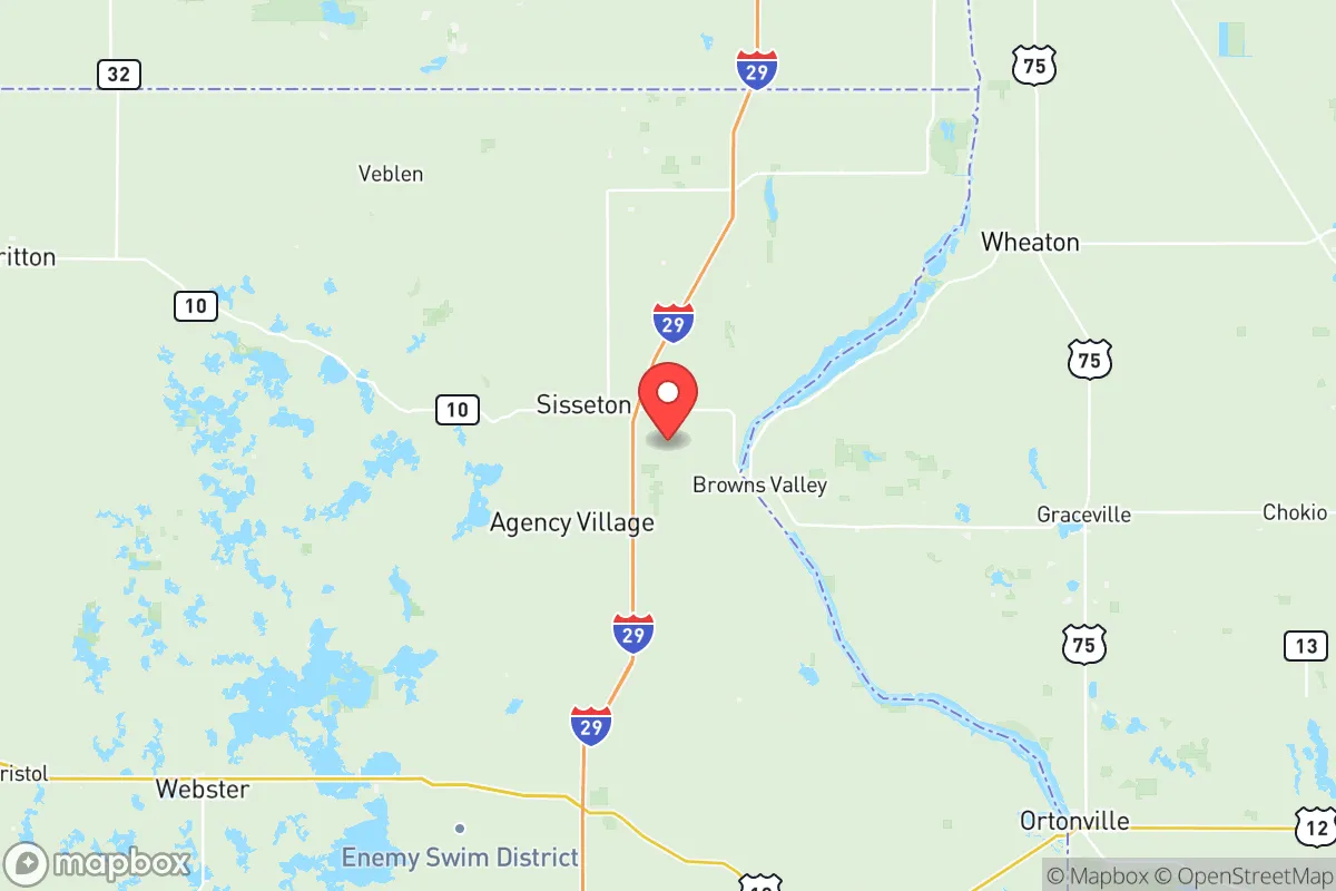
Roberts County, South Dakota, presents a distinctive proposition for relocation-minded individuals and families prioritizing long-term resilience and self-sufficiency. Located in the far northeastern corner of the state, this area offers a compelling combination of geographic isolation from major metropolitan target zones and access to the critical natural resources of the Upper Missouri River Basin. For those strategizing around disaster preparedness, the county’s position—approximately 50 miles from the North Dakota border and 30 miles from the Minnesota line—provides a buffer from the high-density population corridors while maintaining viable access to regional supply hubs like Sisseton, the county seat, and nearby Watertown.
Geographic position and natural advantages for preparedness
Roberts County’s primary strategic advantage is its location within the Coteau des Prairies, a physiographic region of rolling hills and numerous glacial lakes that offers natural defensibility and water security. The county is bisected by the Lake Traverse Reservation, home to the Sisseton Wahpeton Oyate, which adds a layer of cultural and legal complexity but also buffers development pressure. The Whetstone River and the Minnesota River headwaters flow through the area, providing surface water sources that are less vulnerable to deep-well contamination than aquifer-dependent regions. This water abundance is rare for the Great Plains and makes Roberts County more resilient than counties further west, like Perkins or Harding. The terrain itself—gentle hills interspersed with sloughs and hardwood draws—provides natural cover and microclimates for diversified food production, a tangible advantage for families planning extended self-reliance.
Risks, exposures, and proximity to fallout-relevant landmarks
While Roberts County avoids the immediate blast and fallout zones of major strategic targets, it is not without risk. The most proximate high-value target is Grand Forks Air Force Base, located roughly 90 miles north in North Dakota, which houses the 319th Reconnaissance Wing and is a potential first-strike target in a nuclear exchange. Fallout patterns from a strike on Grand Forks could, depending on prevailing winds, deposit radioactive particles across northeastern South Dakota. Additionally, the Fargo-Moorhead metropolitan area (population ~250,000) sits 85 miles to the northeast, and while it is not a primary military target, it contains rail and logistics hubs that could be secondary aims. The Keystone Pipeline system, which runs through eastern South Dakota, passes within 60 miles of the county’s western edge—a rupture or targeted disruption could create long-term contamination issues in the Big Sioux River drainage. On the natural risk side, Roberts County lies in Tornado Alley’s northern fringe, with an average of 5-7 tornado warnings per year, and faces periodic Missouri River flooding in its western townships near the Brown County line. The county’s low population density (approximately 10,500 people across 1,100 square miles) is a double-edged sword: evacuations would face minimal congestion, but emergency response times from the nearest Level II trauma center in Watertown (45 minutes) or Fargo (90 minutes) are significant.
Practical resilience for a relocator: food, water, energy, and defensibility
For a family or individual serious about self-sufficiency, Roberts County offers a strong baseline. Agricultural self-reliance is the region’s core strength: the county’s prime soils support corn, soybeans, and alfalfa, and the glacial lakes provide abundant wild rice and fish. The Sisseton area has a small but functional farmers’ market and a robust network of small-scale grain elevators, meaning local food storage infrastructure exists beyond what a single household could maintain. Water security is above average for the plains: the glacial aquifers underlying the county are shallower and more rechargeable than the deep Ogallala, and many rural properties have working wells at 50-100 feet. Surface water from the Whetstone and Minnesota Rivers is treatable with basic filtration, though chemical runoff from agricultural fields is a seasonal concern. Energy resilience is a mixed picture: the county is served by Lake Region Electric Cooperative, which draws power from the Rush Island coal plant (Missouri) and the Big Stone Plant (near Milbank, SD), both aging facilities. Solar and small-wind installations are growing but not yet widespread—a relocator should plan for off-grid solar with battery backup. Defensibility is where Roberts County truly shines: the area’s low density, limited road network (only two main paved highways—US 12 and SD 15—cross the county), and natural choke points around the Lake Traverse Reservation make it difficult to approach or traverse quickly. The nearest significant population center with a large law enforcement presence, Watertown, is 45 minutes south, meaning any post-crisis looting or resource competition would likely bypass this remote corner in favor of easier targets near I-29.
The overall strategic picture for Roberts County is one of calculated isolation with real but manageable exposures. It avoids the critical failure points of major cities while offering the water and agricultural resources that sustain long-term habitation. For the family or individual willing to accept a four-hour drive to the nearest international airport (Minneapolis-St. Paul) and a lifestyle defined by harsh winters and limited medical services, this area provides a foundation for resilience that is hard to match at its price point (median home value ~$150,000). The presence of the Lake Traverse Reservation adds cultural richness but also a layer of jurisdictional complexity—a relocator should research tribal land access and water rights before purchasing. Roberts County is not a bug-out fantasy; it is a working landscape where preparedness means owning a snowplow, knowing your neighbors, and storing grain.

* Values derived from national, state, county, city and local statistics and may differ in a specific area. Last updated: 2026-06-27T05:06:41.000Z
Narrative content on this page is AI-generated and may contain mistakes. Verify any details that matter before acting on them.
ReloMaps may earn a commission from affiliate links at no extra cost to you.

