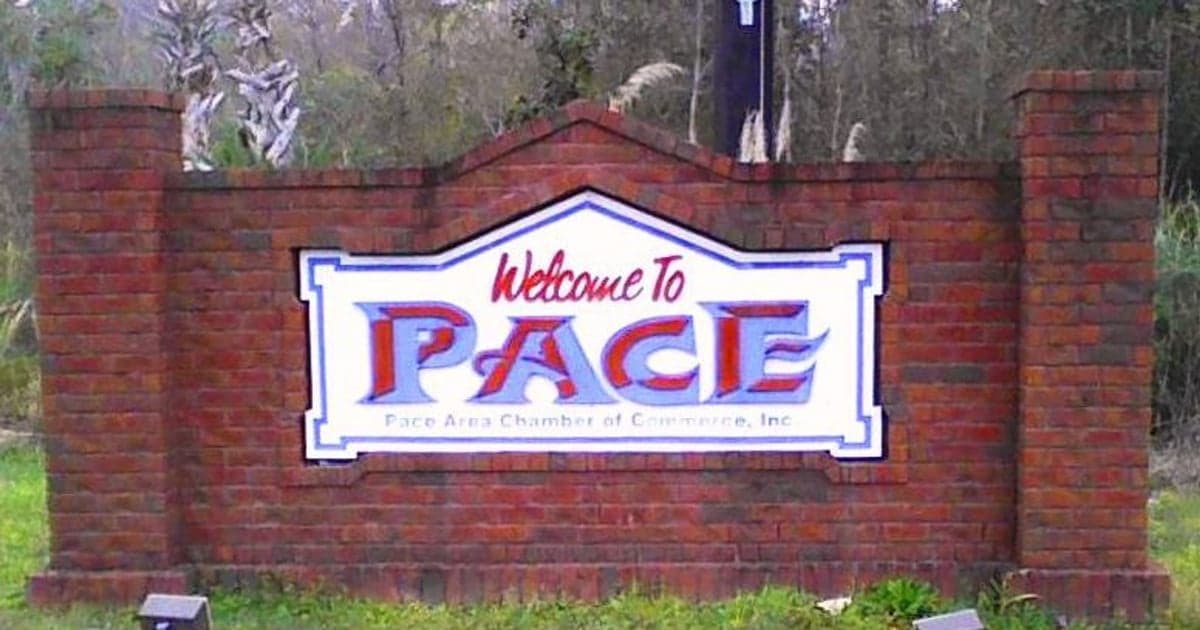
Photo: Wikipedia
Strategic Assessment of Pace, FL
Workable tactical position. Some exposure to population density or targets, but generally defensible in a crisis.
What does the Strategic Assessment tell us?
Our Strategic Assessment grades tactical survivability of an area. Major population centers, military targets, fallout zones, natural disasters, and border exposure all drive risk — lower exposure means a more defensible position in a crisis.
This is heavily inspired by Joel Skousen's Strategic Relocation book. Highly recommended you checkout the book ($)What does this tell us?
Our Strategic Assessment grades tactical survivability of an area. Major population centers, military targets, fallout zones, natural disasters, and border exposure all drive risk — lower exposure means a more defensible position in a crisis.
This is heavily inspired by Joel Skousen's Strategic Relocation book. Highly recommended you checkout the book ($)Strategic Pillars

Key Distances
Regional Safe Places
Below is our recommended "safe zones" in Florida and the surrounding area based on our strategic heuristics. For most people, it's unrealistic to live in a “safe zone” full-time due to work, family or other personal reasons. They tend to be more rural. However, many of these areas are perfect for second homes and retreat properties that double as a vacation home or even a short-term rental.

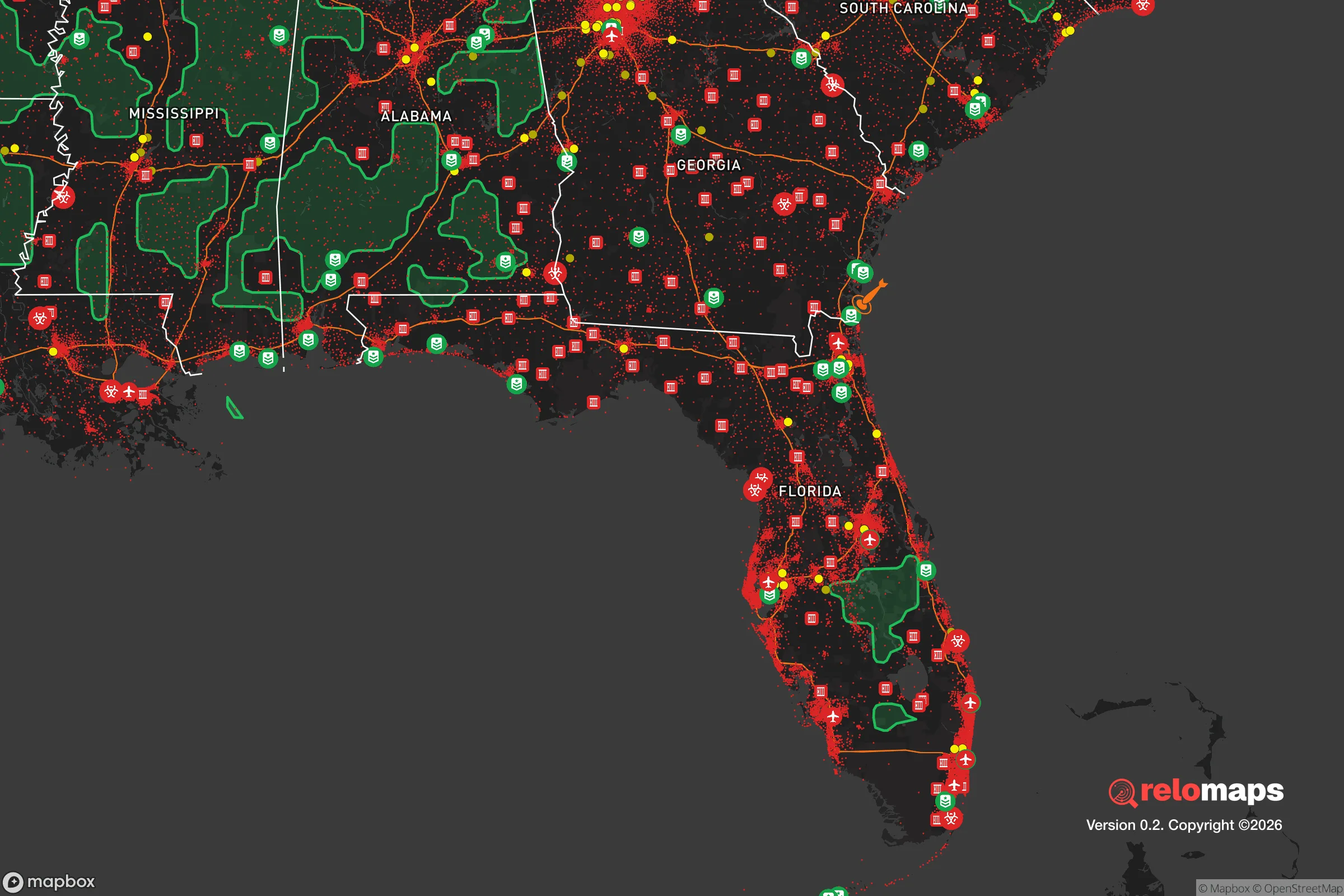


Important Note: For informational purposes only. This does not mean nothing bad ever happens in the green zones. Please use common sense. This is based on public data and modeled with AI. We tried to take a conservative approach but mistakes happen. We update this regularly as new information becomes available.
Solar Generator Recommendations
Backup power matters more here than in safer locations. We've picked three solar generators across budgets and capacity tiers — start with the budget unit if you only need a few essentials, or step up if you want to run a fridge and HVAC for days at a time.

Jackery Portable Power Station Explorer 300
Budget OptionPower on the Go: Weighing only 11 lbs, it's convenient to set up and store with book-sized foldable solar panels

BLUETTI Portable Power Station AC180
Designed for both indoor and outdoor scenarios, AC180 is highly capable as it has a robost capacity and continuous output power.

EF ECOFLOW DELTA Pro Ultra Power Station
Upgraded PickEcoFlow DELTA Pro Ultra is a whole-home energy system designed to grow with your family. Integrated with the Smart Home Panel 2, it scales to meet your evolving energy needs — keeping your home powered, intelligent, and secure through every stage of life.
We earn a commission, at no additional cost to you.
Strategic Assessment Analysis
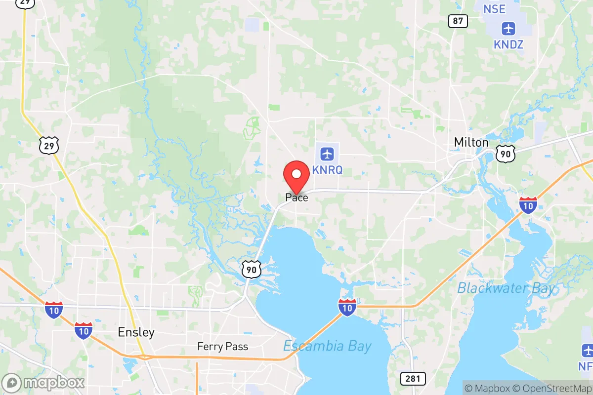
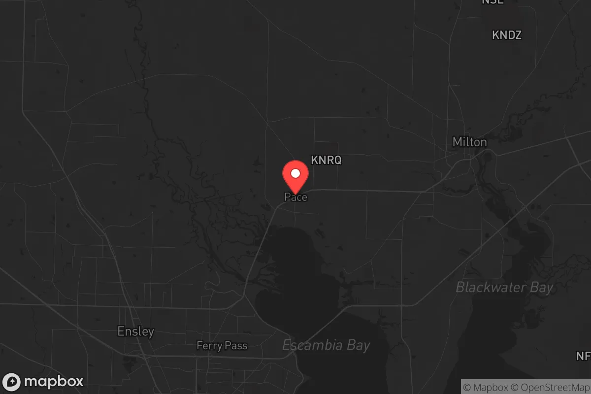
Pace, Florida, offers a strategic blend of rural resilience and suburban convenience that appeals to relocation-minded individuals and families prioritizing disaster readiness and self-sufficiency. Located in Santa Rosa County, roughly 15 miles northeast of Pensacola and 30 miles from the Alabama border, Pace sits on a high ridge above the Escambia River floodplain, providing natural elevation advantages over much of the Gulf Coast. Its position along U.S. Highway 90 and proximity to Interstate 10 give residents reliable evacuation routes, while the area’s distance from major metropolitan centers like Pensacola and Mobile reduces exposure to urban cascading failures, though it remains close enough for supply runs when conditions permit.
Geographic position and natural advantages for long-term stability
Pace’s geography is its strongest asset for resilience. The community rests on the Southern Pine Hills region, with elevations ranging from 80 to 150 feet above sea level—significantly higher than coastal towns like Gulf Breeze or Navarre. This elevation dramatically reduces flood risk from storm surge, a critical factor given the area’s vulnerability to hurricanes. The Escambia River to the west and the Blackwater River to the east provide natural buffers, creating a defensible corridor that limits easy access from multiple directions. The surrounding landscape is dominated by mixed pine-hardwood forests, offering ample cover, timber for construction, and wildlife for subsistence hunting. Soils are sandy loam, well-draining, and suitable for small-scale agriculture, though they require amendment for sustained crop yields. The climate is humid subtropical, with a growing season of roughly 250 days, allowing for year-round food production with proper planning. Water resources are abundant: the Floridan Aquifer lies beneath the area, and numerous creeks and rivers provide surface water, though treatment is necessary for potable use. Pace’s position on the Florida Panhandle also places it outside the direct path of most tornado activity, which tends to concentrate further north and west, though severe thunderstorms remain a seasonal reality.
Risks, exposures, and proximity to fallout-relevant landmarks
While Pace’s natural advantages are notable, its proximity to several high-value targets introduces significant man-made risks. The area lies roughly 40 miles from Naval Air Station Pensacola, a major military installation housing the Blue Angels and training facilities for naval aviation. Approximately 50 miles west is Eglin Air Force Base, one of the largest Air Force bases in the world, and 60 miles southwest is Hurlburt Field, home to Air Force Special Operations Command. These installations are primary targets in any conflict scenario involving strategic strikes, and Pace sits within the fallout plume radius for ground bursts at these locations, depending on wind patterns. Additionally, the Port of Pensacola, a deepwater port handling petroleum and chemical products, and the nearby Saufley Field (a Navy outlying field) add to the risk profile. Interstate 10, while a vital evacuation route, also serves as a potential chokepoint for military and civilian traffic during a crisis, and its bridges over Escambia Bay are vulnerable to disruption. Pace’s population of roughly 25,000 is growing steadily, with new subdivisions encroaching on formerly rural land, which increases density and reduces the area’s defensibility over time. The 2020 census showed a 15% population increase since 2010, a trend that strains local infrastructure and emergency services. For the relocator, the key takeaway is that Pace offers a buffer from immediate blast zones but is not remote enough to ignore fallout risks from nearby military targets. A personal radiation detection kit and a pre-planned evacuation route north toward Alabama’s less-targeted interior are prudent preparations.
Practical resilience for a relocator: food, water, energy, and defensibility
For those serious about self-sufficiency, Pace provides a workable foundation but requires deliberate investment. Food production is feasible: the long growing season supports warm-season crops like tomatoes, peppers, squash, and okra from March through October, with cool-season greens and root vegetables possible in winter with minimal protection. Local soil tests typically show low organic matter, so raised beds or composting are recommended. The area has a strong hunting culture—white-tailed deer, wild hogs, and turkey are abundant in the surrounding national forests (Blackwater River State Forest to the east, Conecuh National Forest just over the Alabama line). Fishing in the Escambia and Blackwater rivers provides protein year-round. Water access is straightforward: most homes in Pace rely on private wells tapping the Floridan Aquifer, which yields high-quality water at depths of 100–300 feet. A hand pump or solar-powered pump can ensure access during grid failure. Surface water from creeks requires filtration and boiling due to agricultural runoff and wildlife activity. Energy resilience is moderate. The grid in Santa Rosa County is maintained by Gulf Power (now Florida Power & Light), which has improved hardening since Hurricane Michael in 2018, but outages during storms remain common—typically 24–72 hours for major events. Solar potential is good, with an average of 5.5 peak sun hours per day, and no state-level restrictions on residential solar installations. Battery storage and a backup generator are wise investments. Defensibility is mixed. Pace’s layout is suburban sprawl with cul-de-sacs and winding roads, which can slow unauthorized entry but also limits sightlines and creates dead ends. Rural parcels with acreage offer better security, especially those with tree lines and single-access driveways. The local sheriff’s office (Santa Rosa County) has a strong reputation, with a response time of roughly 10–15 minutes in the unincorporated areas, but during a widespread event, self-reliance is expected. Firearms ownership is common, and the area is culturally aligned with conservative preparedness values, meaning neighbors are more likely to cooperate than compete in a crisis. However, the growing population means that “bugging in” is increasingly viable only for those with established off-grid infrastructure; newcomers should prioritize acreage over subdivision lots.
The overall strategic picture for Pace is one of calculated trade-offs. It offers genuine natural advantages—high ground, abundant water, fertile growing conditions, and a climate that supports year-round subsistence—that make it a strong candidate for a relocation focused on resilience. The risks are real but manageable: hurricane threats are mitigated by elevation and building codes, while man-made risks from nearby military installations require awareness and preparation rather than avoidance. For the relocator willing to invest in well water, solar power, and food production systems, Pace provides a stable base that balances access to urban resources (Pensacola’s hospitals, hardware stores, and supply chains are 20 minutes away) with the space to operate independently. The area’s conservative culture and growing preparedness community are assets, not liabilities, for those seeking like-minded neighbors. Pace is not a remote bunker—it’s a working compromise for families who want to be ready without leaving civilization entirely. The key is to act before the next wave of development erodes the very advantages that make it attractive today.

* Values derived from national, state, county, city and local statistics and may differ in a specific area. Last updated: 2026-11-08T00:46:37.000Z
Narrative content on this page is AI-generated and may contain mistakes. Verify any details that matter before acting on them.
ReloMaps may earn a commission from affiliate links at no extra cost to you.

