
Strategic Assessment of Mckenzie County
Strong survivability profile. Good buffer from population centers, with manageable environmental and tactical risks.
What does the Strategic Assessment tell us?
Our Strategic Assessment grades tactical survivability of an area. Major population centers, military targets, fallout zones, natural disasters, and border exposure all drive risk — lower exposure means a more defensible position in a crisis.
This is heavily inspired by Joel Skousen's Strategic Relocation book. Highly recommended you checkout the book ($)What does this tell us?
Our Strategic Assessment grades tactical survivability of an area. Major population centers, military targets, fallout zones, natural disasters, and border exposure all drive risk — lower exposure means a more defensible position in a crisis.
This is heavily inspired by Joel Skousen's Strategic Relocation book. Highly recommended you checkout the book ($)Strategic Pillars

Key Distances
Strategic Assessment Analysis
Mckenzie County, North Dakota, offers a compelling strategic profile for those prioritizing resilience and self-sufficiency, anchored by its remote location in the heart of the Bakken oil fields. Its sparse population density—roughly 15,000 residents spread across over 2,800 square miles—provides a natural buffer against the cascading failures that can plague dense urban centers. The county’s economic engine, energy extraction, also means it possesses a level of on-the-ground infrastructure and logistical capability that most rural counties lack, creating a unique blend of isolation and industrial capacity.
Geographic position and natural advantages for long-term security
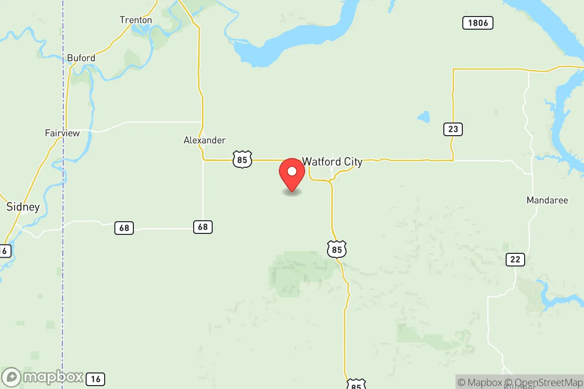
Situated in the far western reaches of North Dakota, Mckenzie County sits over 500 miles from the nearest major metropolitan area (Minneapolis-St. Paul) and roughly 100 miles from the Canadian border. This distance from major population centers is a significant asset in a resilience context, as it places the county well outside the likely fallout zones or secondary disruption radii of any major strategic target. The county is anchored by the town of Watford City, the county seat and primary population hub, with smaller communities like Alexander and Arnegard offering even deeper rural buffers. The Missouri River runs along the county's southern edge, providing a substantial and reliable freshwater source, while the rolling badlands and buttes to the west offer natural terrain that complicates any large-scale movement. The region's cold, dry climate also naturally suppresses many biological vectors and limits the growing season for opportunistic pathogens, a subtle but real advantage.
Risk exposure and proximity to fallout-relevant landmarks
The primary strategic liability for Mckenzie County is its own industrial base. The county sits directly atop the Bakken shale formation, and the landscape is dotted with thousands of active and inactive well pads, natural gas processing plants, and gathering pipelines. The Tioga Refinery, located just east of the county line in Williams County, is a major crude oil processing facility that represents a potential industrial accident or targeted disruption risk. While the county is far from coastal ports or major military installations like Fort Hood, the concentration of energy infrastructure means that a major incident at a facility like the Bear Creek natural gas plant or a pipeline rupture along the Little Missouri River corridor could create localized contamination or supply chain hiccups. The region is also subject to severe winter storms, blizzards, and occasional flooding along the Missouri River basin, which can isolate communities for days at a time. The lack of a major interstate highway—U.S. Highway 85 is the primary north-south artery—means evacuation or resupply routes are limited and can be compromised by weather.
Practical resilience for a relocator: food, water, energy, and defensibility
For a relocator focused on practical self-sufficiency, Mckenzie County presents a mixed but generally favorable picture. Water security is strong: the Missouri River provides an immense, high-volume freshwater source, and the underlying aquifer systems are generally reliable, though well depths can be significant. Energy is the county's standout advantage. Natural gas is abundant and locally produced, and many rural properties have access to or can easily tap into natural gas for heating and power generation. The county also has growing wind energy potential and ample sun exposure for solar panels, though winter snow cover can limit solar collection. Food production is the weakest link. The growing season is short (roughly 110-120 days), and the soil is primarily suited for cattle grazing and hardy crops like wheat and hay. Local food production is limited, and the county relies heavily on trucked-in supplies from distribution centers in Williston or Dickinson. A relocator serious about food security would need to invest in greenhouse infrastructure, cold-hardy livestock, and substantial dry goods storage. Defensibility is naturally high. The low population density, vast open spaces, and limited road network make it difficult for any large group to move through the area undetected. The badlands terrain provides natural choke points and observation positions. The local culture is heavily oriented toward hunting, firearms ownership, and outdoor survival skills, meaning the existing population is not dependent on fragile supply chains for basic security. The county's law enforcement presence is thin, however, so community-based mutual aid networks would be essential for any long-term stability.
The overall strategic picture for Mckenzie County is one of high potential with clear trade-offs. It offers exceptional natural resource security—water, energy, and defensible terrain—that few other regions in the continental United States can match. Its distance from major population centers and strategic targets provides a genuine buffer against the most severe cascading disruptions. However, the reliance on imported food, the inherent risks of the energy extraction industry, and the harsh winter climate demand a higher level of personal preparedness and capital investment than a milder, more agricultural region might require. For a relocator who can afford the upfront costs of a well-equipped homestead and who values isolation and energy independence over agricultural self-sufficiency, Mckenzie County represents one of the more viable long-term bets in the northern plains.

* Values derived from national, state, county, city and local statistics and may differ in a specific area. Last updated: 2026-07-19T14:37:20.000Z
Narrative content on this page is AI-generated and may contain mistakes. Verify any details that matter before acting on them.
ReloMaps may earn a commission from affiliate links at no extra cost to you.

