
Photo: Wikipedia
Strategic Assessment of Randolph County
Meaningful friction. Expect exposure to either population pressure, blast zones, or natural disaster risk. Consider buying a retreat property.
What does the Strategic Assessment tell us?
Our Strategic Assessment grades tactical survivability of an area. Major population centers, military targets, fallout zones, natural disasters, and border exposure all drive risk — lower exposure means a more defensible position in a crisis.
This is heavily inspired by Joel Skousen's Strategic Relocation book. Highly recommended you checkout the book ($)What does this tell us?
Our Strategic Assessment grades tactical survivability of an area. Major population centers, military targets, fallout zones, natural disasters, and border exposure all drive risk — lower exposure means a more defensible position in a crisis.
This is heavily inspired by Joel Skousen's Strategic Relocation book. Highly recommended you checkout the book ($)Strategic Pillars

Key Distances
Strategic Assessment Analysis
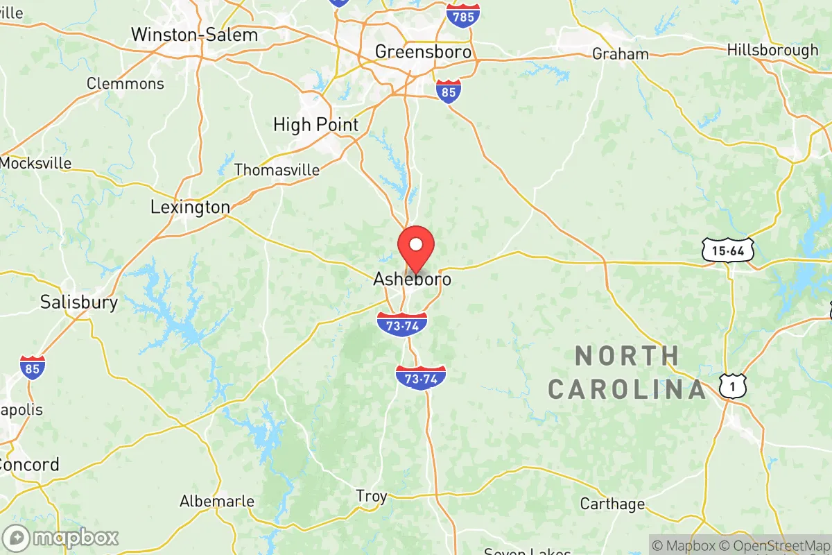
Randolph County, North Carolina, occupies a strategic middle ground in the Piedmont Triad region, offering a blend of rural self-sufficiency and practical proximity to urban resources without the direct exposure of living in a major city. For a relocator prioritizing disaster readiness and long-term resilience, the county presents a compelling mix of geographic advantages and manageable risks, anchored by its position roughly equidistant from Greensboro, High Point, and Asheboro. The county seat of Asheboro serves as the primary hub, while smaller communities like Liberty, Ramseur, and Seagrove provide deeper rural buffers, each with distinct access to local resources and escape routes.
Geographic position and natural advantages for long-term stability
Randolph County sits in the central Piedmont, a region characterized by rolling hills, mixed hardwood forests, and a temperate climate that avoids the extremes of coastal hurricanes and mountain snowstorms. The county's elevation ranges from roughly 700 to 1,000 feet above sea level, placing it well above the flood-prone coastal plain while remaining accessible via major highways like US-64, US-220, and NC-49. This network provides multiple egress routes toward the Appalachian foothills to the west or the more sparsely populated counties to the north and east. The Uwharrie National Forest, located just south of Asheboro, offers over 50,000 acres of public land that can serve as a natural buffer and a potential resource for foraging, timber, and wildlife. The forest's proximity to the county's southern edge means that relocators in areas like Seagrove or southern Asheboro have direct access to this undeveloped terrain without living inside a national forest boundary, which carries its own regulatory complexities. The county's water resources are anchored by the Deep River, which runs through the central and eastern portions, and the smaller Uwharrie River along the southern border. These watersheds, combined with numerous small lakes and reservoirs like Lake Lucas and the Randleman Lake, provide surface water redundancy that is uncommon in more developed parts of the Triad. The underlying geology is primarily granite and metamorphic rock, which supports good groundwater yields in most areas, though well depths and yields vary significantly by specific location.
Risk exposure and proximity to fallout-relevant landmarks
Randolph County's primary risk exposure comes not from natural disasters but from its position within the broader industrial and military geography of North Carolina. The county is roughly 70 miles from the coast, placing it outside the highest-risk hurricane surge zones, but it still experiences occasional tropical storm remnants that can cause localized flooding along the Deep River floodplain. Tornado risk is moderate, with the Piedmont seeing occasional EF-1 and EF-2 events, but the county lacks the concentrated tornado alley exposure of the Deep South. The more significant concern for a resilience-minded relocator is proximity to man-made risks. The county lies approximately 50 miles northeast of Charlotte, a major financial and transportation hub that includes Charlotte Douglas International Airport and the associated air cargo and military logistics operations. To the southeast, the state's largest military installation, Fort Liberty (formerly Fort Bragg), is roughly 80 miles away, a distance that provides a buffer from direct base-related disruptions but places the county within the broader fallout and emergency services zone for a major event at that facility. Within Randolph County itself, the primary industrial risks are concentrated around Asheboro's manufacturing corridor, which includes metal fabrication plants, chemical storage facilities, and a major food processing plant. The town of Ramseur, in the eastern part of the county, has a history of textile and furniture manufacturing, with some facilities still operating with industrial chemicals. The county's power infrastructure is served by Duke Energy, with several major transmission lines running through the area, and a natural gas pipeline corridor passes through the northern portion of the county near Liberty. For a relocator, the key takeaway is that Randolph County avoids the highest-consequence targets—no major refineries, nuclear plants, or ports—while still being close enough to urban centers to experience secondary effects from a regional disruption.
Practical resilience for a relocator: food, water, energy, and defensibility
Randolph County offers strong practical resilience for a household willing to invest in self-sufficiency. The county remains one of North Carolina's leading agricultural producers, with a strong base in poultry, swine, and row crops like corn, soybeans, and wheat. The Asheboro Farmers Market operates year-round, and the surrounding countryside is dotted with small farms, orchards, and roadside stands that provide local food sources independent of the national supply chain. For a relocator looking to produce their own food, the county's soil quality varies but is generally workable in the river valleys, and the growing season runs from April to October, allowing for a substantial garden and small livestock operation. Water resilience is a mixed picture. Municipal water systems in Asheboro, Liberty, and Ramseur draw primarily from surface sources like Randleman Lake and the Deep River, which are vulnerable to contamination events or prolonged drought. However, the county's rural areas are dominated by private wells, and the underlying aquifer is generally reliable, though well drilling costs have risen in recent years. A relocator should budget for a well test and potentially a backup hand pump or solar-powered pump system. Energy resilience is improving, with solar installations becoming more common on rural properties, though the county lacks the consistent wind resource of coastal or mountain areas. Wood heating is a practical option given the forest cover, and many rural properties already have wood stoves or fireplaces. Defensibility is a strong point for Randolph County compared to more suburban or urban areas. The county's rural character means that properties are often set back from main roads, with natural tree lines and topography providing visual and physical barriers. The Uwharrie National Forest to the south creates a natural buffer zone, and the county's low population density—roughly 145 people per square mile—means that a relocator can find a property with significant standoff distance from neighbors and main thoroughfares. The county's law enforcement presence is adequate but not overwhelming, with the Randolph County Sheriff's Office covering the unincorporated areas and local police departments in Asheboro, Liberty, and Ramseur. For a relocator, the practical recommendation is to target properties in the southern or western portions of the county, closer to the Uwharrie National Forest and further from the industrial corridors of Asheboro and the natural gas pipeline route through the north.
The overall strategic picture for Randolph County is one of moderate resilience with clear trade-offs. It avoids the highest-risk coastal and urban exposures while maintaining good access to regional resources and multiple egress routes. The county's agricultural base, reliable groundwater, and low population density provide a solid foundation for a self-sufficient household, but a relocator must account for the industrial risks concentrated around Asheboro and the secondary effects of being within 100 miles of Charlotte and Fort Liberty. For a family or individual willing to invest in a well, solar backup, and a defensible property in the southern or western parts of the county, Randolph County offers a realistic balance of accessibility and preparedness that is hard to find closer to the major cities of the Piedmont. The key is to avoid the more developed corridors and focus on the rural buffer zones that give the county its strategic value.

* Values derived from national, state, county, city and local statistics and may differ in a specific area. Last updated: 2026-07-05T08:05:22.000Z
Narrative content on this page is AI-generated and may contain mistakes. Verify any details that matter before acting on them.
ReloMaps may earn a commission from affiliate links at no extra cost to you.

