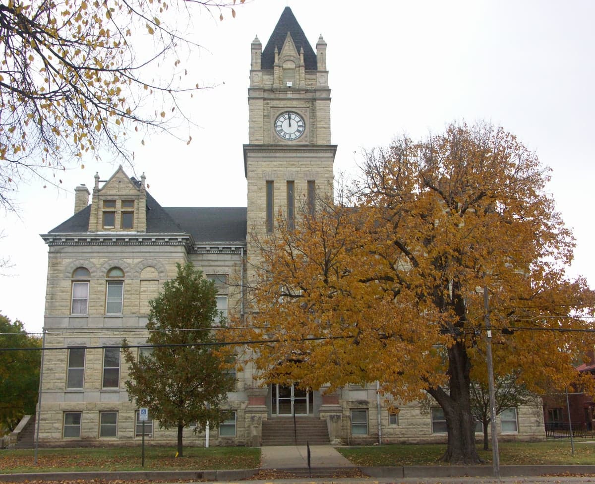
Photo: Wikipedia
Strategic Assessment of Marion County
Strong survivability profile. Good buffer from population centers, with manageable environmental and tactical risks.
What does the Strategic Assessment tell us?
Our Strategic Assessment grades tactical survivability of an area. Major population centers, military targets, fallout zones, natural disasters, and border exposure all drive risk — lower exposure means a more defensible position in a crisis.
This is heavily inspired by Joel Skousen's Strategic Relocation book. Highly recommended you checkout the book ($)What does this tell us?
Our Strategic Assessment grades tactical survivability of an area. Major population centers, military targets, fallout zones, natural disasters, and border exposure all drive risk — lower exposure means a more defensible position in a crisis.
This is heavily inspired by Joel Skousen's Strategic Relocation book. Highly recommended you checkout the book ($)Strategic Pillars

Key Distances
Strategic Assessment Analysis
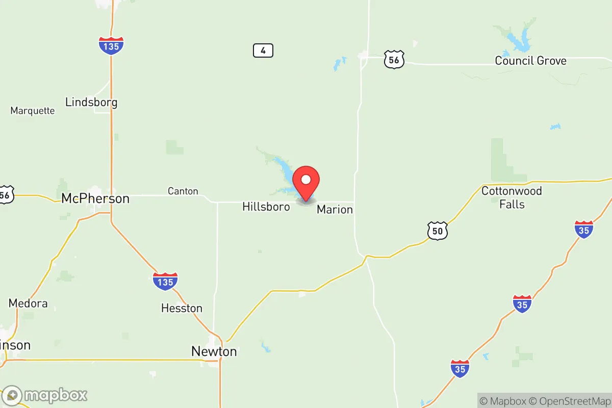
Marion County, Kansas, offers a compelling strategic profile for relocators prioritizing resilience, self-sufficiency, and distance from major metropolitan vulnerabilities. Situated in the central Flint Hills region, roughly 50 miles north of Wichita and 150 miles southwest of Kansas City, the county provides a balance of agricultural productivity, low population density, and relative geographic isolation that appeals to those assessing long-term disaster preparedness. With a population of around 11,800 spread across 954 square miles, Marion County presents a low-target environment where practical self-reliance is not just possible but historically embedded in the local culture.
Geographic position and natural advantages for long-term stability
Marion County's location in the Flint Hills gives it distinct natural advantages. The region's shallow, rocky soil discouraged intensive row-crop farming historically, which paradoxically preserved extensive native tallgrass prairie—a resilient ecosystem that supports cattle grazing and requires minimal external inputs. The county's topography is gently rolling, with elevations ranging from 1,200 to 1,500 feet, providing natural drainage and reducing flood risk compared to river-bottom communities. The Marion Reservoir, a 6,160-acre U.S. Army Corps of Engineers project near the city of Marion, serves as a critical water storage asset, holding approximately 86,000 acre-feet of water. This reservoir, along with the Cottonwood River and numerous smaller creeks, provides a distributed water network less vulnerable to single-point failure than systems reliant on a single river or aquifer. The county seat, Marion, sits at the intersection of U.S. Highway 56 and K-15, offering two viable evacuation or supply routes without funneling through a single choke point. Hillsboro, the county's largest town with about 2,800 residents, lies along U.S. Highway 50, a major east-west corridor that connects to the broader regional network while still maintaining a low-profile, defensible character.
Risk exposure and proximity to fallout-relevant landmarks
Marion County's primary risk exposure comes not from direct targeting but from its position relative to higher-value infrastructure. The county lies roughly 60 miles northeast of Wichita's McConnell Air Force Base, a tanker and refueling hub that could be a secondary target in a conflict scenario. More significantly, the county sits approximately 100 miles southwest of the Kansas City metropolitan area, which includes the Whiteman Air Force Base (home to B-2 bombers) and the sprawling Kansas City industrial corridor. Fallout plume modeling from a strike on either McConnell or Whiteman would likely pass east or northeast of Marion County given prevailing westerly winds, but a ground burst at Whiteman could deposit measurable fallout across the eastern half of the county. The county's own infrastructure is minimal: there are no major refineries, nuclear power plants, or military installations within its borders. The closest nuclear facility is the Wolf Creek Generating Station near Burlington, about 70 miles southeast—outside the 10-mile emergency planning zone but within the 50-mile ingestion pathway zone. For a relocator, the practical takeaway is that Marion County avoids the highest-risk zones while remaining close enough to monitor regional events. The county's low population density (about 12 people per square mile) means that even in a widespread emergency, competition for local resources would be far less intense than in suburban Wichita or Kansas City exurbs.
Practical resilience for relocators: food, water, energy, and defensibility
Marion County's agricultural base provides a genuine food-security advantage. The county ranks among Kansas's top producers of cattle, hay, and wheat, with over 1,100 farms operating across 450,000 acres. For a relocator, this means local access to meat, dairy, and grain without reliance on long supply chains. The Marion County Farmers' Market in Marion and the Hillsboro Farmers' Market operate seasonally, but more importantly, direct relationships with local ranchers and farmers are common—a network that can be activated in disruption scenarios. Water security is strong: the Marion Reservoir provides a reliable surface water source, and the underlying Equus Beds aquifer, while not as prolific as the Ogallala, supports domestic wells across much of the county. The city of Marion draws its municipal water from the reservoir, while Hillsboro and Peabody rely on groundwater wells. For off-grid living, the county's zoning is lenient, with no countywide building codes in unincorporated areas, allowing for rainwater catchment, private wells, and alternative energy installations without bureaucratic hurdles. Energy resilience is moderate: the county is served by Westar Energy (now Evergy), with power lines running along major highways. However, the rural nature of the county means longer outage recovery times during severe weather. Solar potential is good, with the region averaging 4.5-5.0 peak sun hours per day, and wind resources are viable for small-scale turbines. Defensibility is a mixed picture: the open prairie offers long sightlines but limited cover, while the creek valleys and wooded draws along the Cottonwood River provide natural concealment. The county's dispersed settlement pattern—with no single population center over 3,000—makes it difficult for any external force to control or disrupt. The Mennonite and Swiss-German heritage communities in Hillsboro and Goessel bring a cultural tradition of self-reliance, mutual aid, and practical skills like food preservation, animal husbandry, and mechanical repair that are invaluable in a long-term resilience scenario.
The overall strategic picture for Marion County is one of moderate-to-strong resilience with specific, manageable trade-offs. Its greatest strengths are its agricultural self-sufficiency, distributed water resources, low population density, and distance from primary target zones. Its main vulnerabilities are its position within plausible fallout patterns from strikes on Wichita or Kansas City, its reliance on a regional power grid, and the limited medical infrastructure (the county has one small hospital in Hillsboro and a critical-access facility in Marion). For a relocator serious about preparedness, Marion County offers a realistic middle ground: it is not a remote mountain redoubt, but it is far enough from major targets to avoid the worst-case scenarios while remaining connected enough to access supplies, information, and community support. The county's practical culture, agricultural base, and water security make it a defensible, sustainable choice for those willing to invest in on-site food production, alternative energy, and community relationships. It is not a bug-out location for the short-term prepper, but a viable long-term home for the strategic relocator who values resilience as a way of life rather than a contingency plan.

* Values derived from national, state, county, city and local statistics and may differ in a specific area. Last updated: 2026-11-16T09:14:25.000Z
Narrative content on this page is AI-generated and may contain mistakes. Verify any details that matter before acting on them.
ReloMaps may earn a commission from affiliate links at no extra cost to you.

