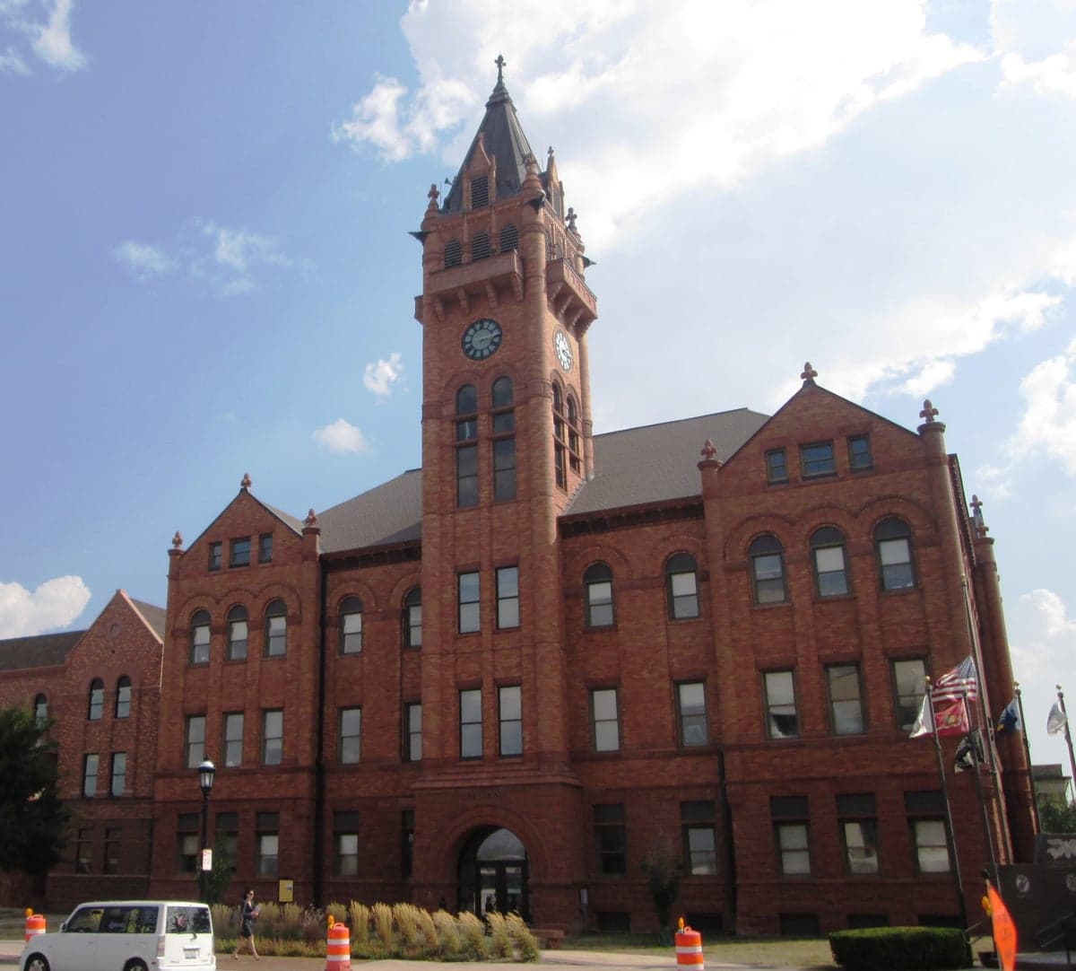
Photo: Wikipedia
Strategic Assessment of Champaign County
Meaningful friction. Expect exposure to either population pressure, blast zones, or natural disaster risk. Consider buying a retreat property.
What does the Strategic Assessment tell us?
Our Strategic Assessment grades tactical survivability of an area. Major population centers, military targets, fallout zones, natural disasters, and border exposure all drive risk — lower exposure means a more defensible position in a crisis.
This is heavily inspired by Joel Skousen's Strategic Relocation book. Highly recommended you checkout the book ($)What does this tell us?
Our Strategic Assessment grades tactical survivability of an area. Major population centers, military targets, fallout zones, natural disasters, and border exposure all drive risk — lower exposure means a more defensible position in a crisis.
This is heavily inspired by Joel Skousen's Strategic Relocation book. Highly recommended you checkout the book ($)Strategic Pillars

Key Distances
Strategic Assessment Analysis
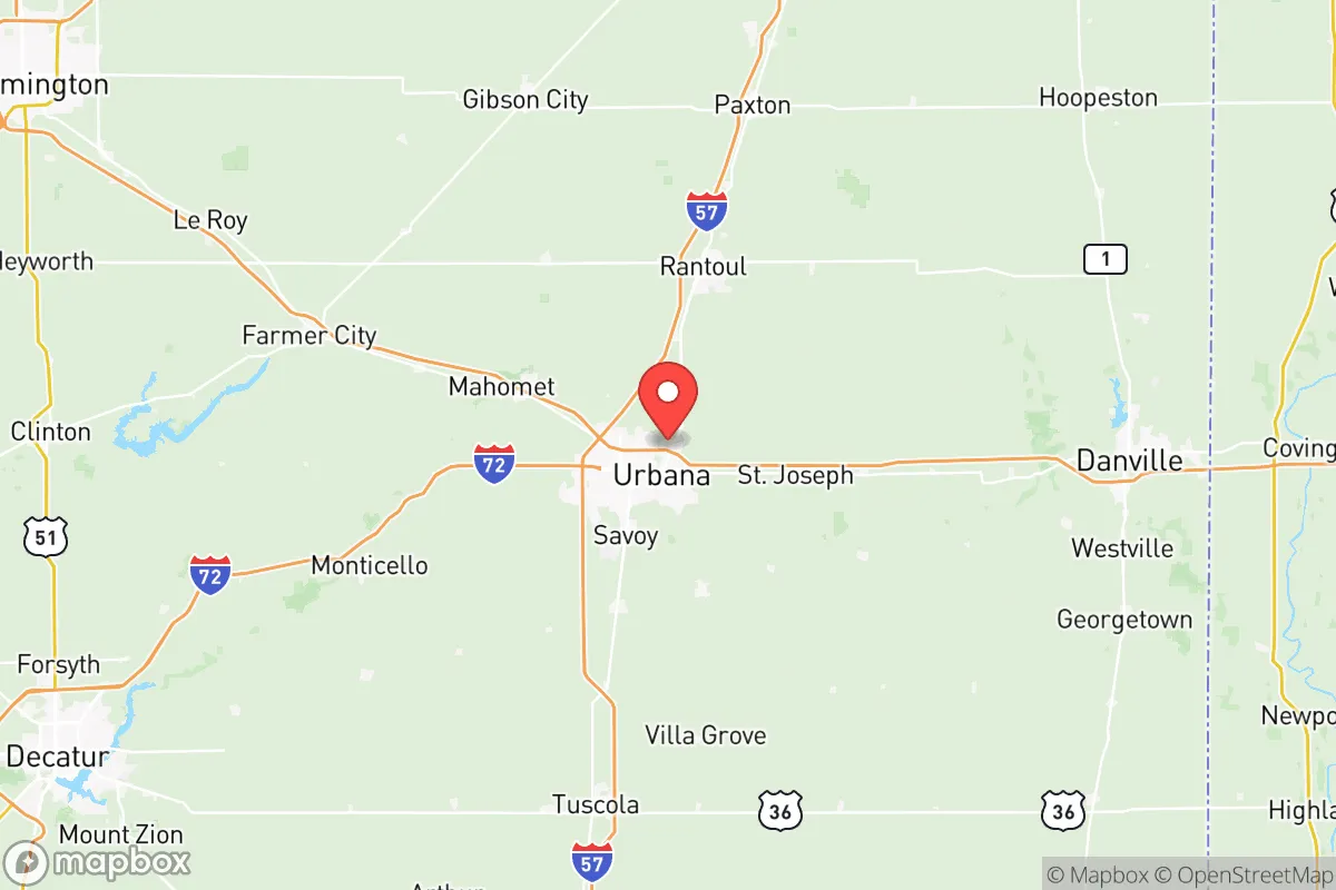
Champaign County, anchored by the twin cities of Urbana and Champaign, offers a relocation option that balances Midwestern agricultural stability with the institutional heft of a major university, presenting a unique resilience profile for those prioritizing self-sufficiency and strategic positioning. The county sits squarely in east-central Illinois, roughly 140 miles south of Chicago and 120 miles west of Indianapolis, providing a buffer from the immediate concentric rings of larger metropolitan risks while retaining access to supply chains and medical resources. Its economic foundation is not built on a single volatile industry, but on the enduring pillars of education, agriculture, and logistics—a diversification that lends natural stability in turbulent times.
Geographic position and natural buffers from major risks
Champaign County’s geographic advantage begins with its location in the flat, fertile expanse of the Grand Prairie, a region far removed from coastal storm surges, seismic fault lines, and the wildfire-prone landscapes of the West. The county is roughly 50 miles from the Illinois River, a major navigable waterway, but not immediately vulnerable to its flooding; the local drainage is handled by the Kaskaskia River watershed and the Salt Fork, neither of which poses a catastrophic flood risk in a normal year. The land itself is uniformly low-relief farmland, which means that while tornadoes are a seasonal concern—Illinois sits within the southeastern fringe of Tornado Alley—the lack of hills or valleys means warning times from the National Weather Service office in Lincoln, 60 miles southwest, are generally adequate. Proximity to Chanute Air Force Base in neighboring Vermilion County (at Rantoul, partially within Champaign County's northern border) has historically been a concern, but the base closed in 1993; its decommissioned status removes it as a military target, and the area now hosts a civilian aviation and industrial park. The single most notable fallout-relevant landmark within the immediate region is the University of Illinois Urbana-Champaign's research reactor on campus—a 1.5 MW TRIGA reactor—which, while small, is a fixed radiological source that could attract attention in a widespread conflict scenario. However, its size and the lack of weapons-grade material on site keep this risk localized.
Risks, exposures, and proximity to fallout-relevant landmarks
While Champaign County avoids the highest-tier national risks, it is not immune to man-made vulnerabilities. The most significant exposure comes from its position along the Interstate 74 and Interstate 57 corridors, which are major freight arteries connecting Chicago to St. Louis and the Gulf Coast. This infrastructure is a double-edged sword: it provides excellent logistics for resupply, but also makes the county a potential target for infrastructure disruption or accidental hazmat spills from the thousands of trucks moving chemicals and fuel daily. The CSX and Norfolk Southern rail lines running through Champaign carry similar risks, particularly with the transport of ethanol from local plants and anhydrous ammonia used in regional farming. There are no large oil refineries or nuclear power plants within 50 miles—the nearest major power generation is the Dallman coal plant in Springfield, 80 miles west—which reduces immediate fallout exposure compared to areas near the Gulf Coast's refinery corridor or the Fermi 2 nuclear plant 130 miles northeast. For a relocator concerned with societal collapse or EMP scenarios, the county’s reliance on the grid serving the University of Illinois campus (which has its own backup generation for critical research) is a net positive, as it ensures priority restoration. The downside: Champaign County has no natural barriers like mountains or wide rivers that could physically slow down hostile ground movement, though its agricultural grid of section-line roads offers a defensible checkered terrain for those with local knowledge.
Practical resilience for relocators: food, water, energy, and defensibility
For a family or individual focused on self-sufficiency, Champaign County delivers strongly on basic resource resilience. The county is the heart of Illinois' cash-grain belt, producing massive quantities of corn and soybeans; local access to grain elevators, farm stands, and the Champaign County Farm Bureau network means that food exchange networks are robust even outside formal grocery chains. Water is abundant, with the Aqua Illinois Mahomet Aquifer running beneath most of the county—a high-yield, well-protected groundwater source that supplies Champaign and Urbana. Rural properties with private wells are common, and for those drilling new wells, depths of 50-150 feet are typical, making hand-pump retrofits feasible. Energy resilience is moderate: the local electric cooperative, Champaign County Mid-America Energy, serves rural areas and has a better restoration record than large investor-owned utilities, but natural gas is the dominant heating fuel, and propane delivery for rural homes is standard. Solar potential is fair—Illinois receives less sun than Texas, but net metering policies and state incentives (as of 2026) make rooftop solar financially viable, and the flat roofs of pole barns common on county farms are ideal for panel arrays. For defensibility, the county’s rural southern half (near Penfield and Broadlands) offers isolated acreage with good sightlines across cornfields, while the urbanized Champaign-Urbana area provides community resources but less perimeter control. The local Champaign County Sheriff's Office and Illinois State Police have a strong presence, but in a prolonged emergency, rural properties farther from the cities will be more secure simply due to lower traffic.
The overall strategic picture for Champaign County is one of moderate-to-high practical resilience for a relocator who values a central position away from coasts and major target zones, though it is not a survivalist's paradise. Its agricultural bounty, reliable groundwater, and multi-modal transportation network give it a baseline self-sufficiency that surpasses most suburban and exurban areas in the Midwest. The trade-offs are real but manageable: the flat terrain offers little concealment, the seasonal tornado risk is a genuine annual hazard, and the Chanute and University of Illinois facilities, while low-risk, are fixed points a prepared observer must monitor. For a conservative-leaning family seeking a community with strong schools, a low cost of living, and the ability to pivot to self-sufficiency without complete isolation, Champaign County represents a viable, data-backed choice—one where the risk profile is written more by the weather than by geopolitics.

* Values derived from national, state, county, city and local statistics and may differ in a specific area. Last updated: 2026-07-02T02:52:44.000Z
Narrative content on this page is AI-generated and may contain mistakes. Verify any details that matter before acting on them.
ReloMaps may earn a commission from affiliate links at no extra cost to you.

