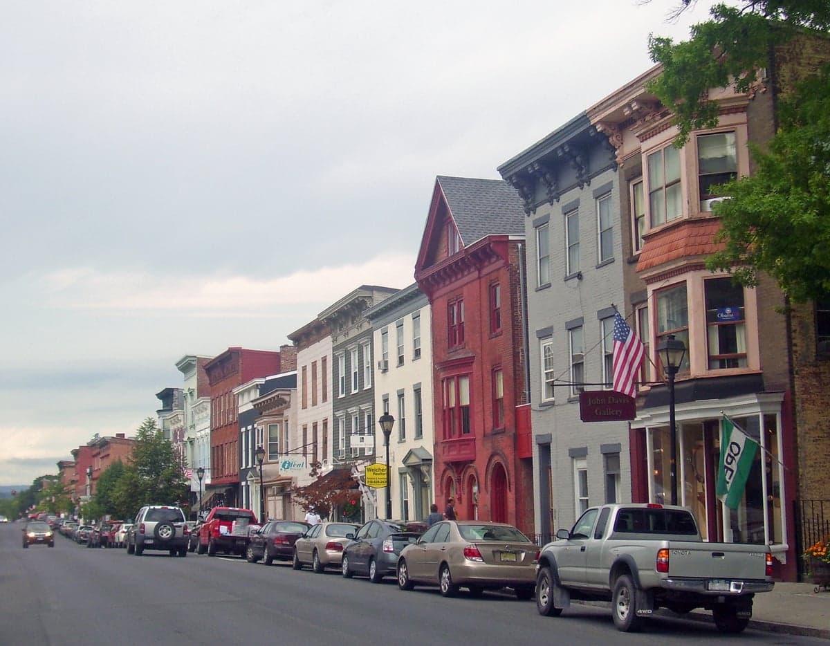
Photo: Wikipedia
Strategic Assessment of Hudson, NY
Meaningful friction. Expect exposure to either population pressure, blast zones, or natural disaster risk. Consider buying a retreat property.
What does the Strategic Assessment tell us?
Our Strategic Assessment grades tactical survivability of an area. Major population centers, military targets, fallout zones, natural disasters, and border exposure all drive risk — lower exposure means a more defensible position in a crisis.
This is heavily inspired by Joel Skousen's Strategic Relocation book. Highly recommended you checkout the book ($)What does this tell us?
Our Strategic Assessment grades tactical survivability of an area. Major population centers, military targets, fallout zones, natural disasters, and border exposure all drive risk — lower exposure means a more defensible position in a crisis.
This is heavily inspired by Joel Skousen's Strategic Relocation book. Highly recommended you checkout the book ($)Strategic Pillars

Key Distances
Regional Safe Places
Below is our recommended "safe zones" in New York and the surrounding area based on our strategic heuristics. For most people, it's unrealistic to live in a “safe zone” full-time due to work, family or other personal reasons. They tend to be more rural. However, many of these areas are perfect for second homes and retreat properties that double as a vacation home or even a short-term rental.




Important Note: For informational purposes only. This does not mean nothing bad ever happens in the green zones. Please use common sense. This is based on public data and modeled with AI. We tried to take a conservative approach but mistakes happen. We update this regularly as new information becomes available.
Solar Generator Recommendations
Backup power matters more here than in safer locations. We've picked three solar generators across budgets and capacity tiers — start with the budget unit if you only need a few essentials, or step up if you want to run a fridge and HVAC for days at a time.

Jackery Portable Power Station Explorer 300
Budget OptionPower on the Go: Weighing only 11 lbs, it's convenient to set up and store with book-sized foldable solar panels

BLUETTI Portable Power Station AC180
Designed for both indoor and outdoor scenarios, AC180 is highly capable as it has a robost capacity and continuous output power.

EF ECOFLOW DELTA Pro Ultra Power Station
Upgraded PickEcoFlow DELTA Pro Ultra is a whole-home energy system designed to grow with your family. Integrated with the Smart Home Panel 2, it scales to meet your evolving energy needs — keeping your home powered, intelligent, and secure through every stage of life.
We earn a commission, at no additional cost to you.
Strategic Assessment Analysis
Hudson, New York, presents a mixed strategic picture for the relocation-minded reader focused on resilience and self-sufficiency. While its location along the Hudson River and its historic infrastructure offer certain advantages, its proximity to major metropolitan areas and critical infrastructure nodes introduces significant vulnerabilities that must be weighed carefully. For a conservative-leaning individual or family prioritizing disaster readiness, Hudson is not a remote stronghold but a semi-urban outpost that requires deliberate planning to mitigate its inherent risks.
Geographic position and natural advantages for long-term stability
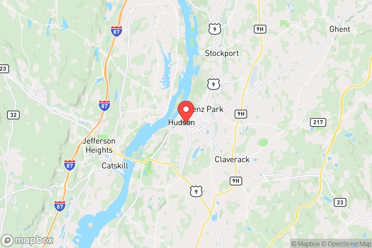
Hudson sits on the east bank of the Hudson River, roughly 120 miles north of New York City and 40 miles south of Albany. This positioning places it within the fertile Hudson Valley, a region known for its agricultural output, abundant freshwater, and relatively moderate climate. The area benefits from four distinct seasons without the extreme weather events that plague other parts of the country—hurricanes rarely reach this far inland with full force, and the region is not prone to wildfires, earthquakes, or tornadoes on a scale that would threaten structural integrity. The surrounding Columbia County is dotted with small farms, orchards, and woodlands, providing a local food network that is more robust than in purely urban environments. The Hudson River itself is a massive freshwater resource, though its industrial history means that direct consumption without filtration is inadvisable. The Catskill Mountains lie to the west, offering a natural buffer and additional resources, while the Taconic Mountains to the east provide similar terrain. For a relocator, the immediate natural advantages are access to water, arable land, and a climate that supports year-round food production with proper planning. However, the area's topography is not defensible in a military sense—rolling hills and river valleys offer limited natural chokepoints, and the region's road network is heavily dependent on a few major arteries like the New York State Thruway (I-87) and US Route 9, which could become congested or compromised during an evacuation event.
Risks, exposures, and proximity to fallout-relevant landmarks
The most significant strategic liability for Hudson is its proximity to high-value targets and population centers. Being roughly two hours from New York City places it within the fallout zone of a nuclear detonation in the metropolitan area, depending on wind patterns and yield. Additionally, the Hudson River corridor is lined with critical infrastructure: the Indian Point Energy Center (though decommissioned, its spent fuel remains on-site) is about 90 miles south, and the Albany area to the north hosts state government facilities, a major port, and rail hubs. The region also contains several electrical substations and natural gas pipelines that could be targets for sabotage or become points of failure during a grid-down scenario. Hudson itself is not a primary target, but its location along a major transportation corridor means it would likely see a surge of refugees from the south during a crisis, straining local resources and potentially overwhelming the small-town infrastructure. The Columbia County area has a population density of about 100 people per square mile, which is low by East Coast standards but not remote enough to guarantee isolation. Flooding is a real concern for properties near the river or its tributaries—the Hudson has a history of spring flooding, and climate models suggest increased precipitation events. For the relocator, the key takeaway is that Hudson offers a buffer from direct blast effects but not from secondary consequences like fallout, refugee flows, or supply chain disruptions. A detailed personal radiation safety plan and a pre-established network outside the corridor are strongly advised.
Practical resilience for a relocator: food, water, energy, and defensibility
On the practical front, Hudson offers a mixed bag for someone serious about self-sufficiency. The local food scene is strong—Columbia County has a robust farmers' market culture, numerous CSAs, and a growing number of small-scale livestock operations. However, this is not the same as owning your own productive land. Most residential properties in and around Hudson are on lots of a quarter-acre to a few acres, which is sufficient for a substantial garden and small livestock like chickens or rabbits, but not for full caloric self-sufficiency without significant investment in permaculture techniques. Water is plentiful from the river and local aquifers, but municipal water systems are vulnerable to contamination and power loss. A private well with a hand pump or a rainwater catchment system is a wise investment for anyone relocating here. Energy resilience is a weak point: the local grid is aging and subject to outages during winter storms and summer heat waves. Solar adoption is growing but not yet widespread, and natural gas is the primary heating fuel for most homes. Wood heating is viable given the surrounding forests, but sourcing and storing enough fuel for a winter requires foresight and labor. Defensibility is the hardest category to assess positively. Hudson is a small city (population roughly 6,000) with a walkable downtown and a grid street pattern—not designed for perimeter defense. Rural properties outside town offer more seclusion but are still accessible via a dense network of county roads. The local law enforcement presence is small; the Hudson Police Department has around 25 officers, and the Columbia County Sheriff's Office provides backup. In a prolonged crisis, this force would be stretched thin. The best strategy for a relocator is to choose a property with good sight lines, a reliable water source, and the ability to produce food on-site, while maintaining a low profile in the community. Building relationships with neighbors and participating in local emergency preparedness groups (Columbia County has an active Office of Emergency Management) will be more valuable than any physical fortification.
The overall strategic picture for Hudson is one of cautious opportunity. It is not a bug-out location for those seeking complete isolation, nor is it a high-risk zone that should be avoided at all costs. It occupies a middle ground: close enough to urban resources to be convenient for daily life, but far enough to offer a meaningful buffer against the worst immediate effects of a major disaster. The area's agricultural base, water access, and moderate climate provide a foundation for resilience that many suburban locations lack. However, the risks from its position along a critical corridor and its proximity to New York City are real and should inform every decision a relocator makes—from property selection to supply stockpiling to community engagement. For the conservative reader who values preparedness but also wants access to culture, healthcare, and a functioning economy, Hudson can work, but only with eyes wide open and a plan in place. It is a location that rewards preparation and punishes complacency.

* Values derived from national, state, county, city and local statistics and may differ in a specific area. Last updated: 2026-09-05T03:09:01.000Z
Narrative content on this page is AI-generated and may contain mistakes. Verify any details that matter before acting on them.
ReloMaps may earn a commission from affiliate links at no extra cost to you.

