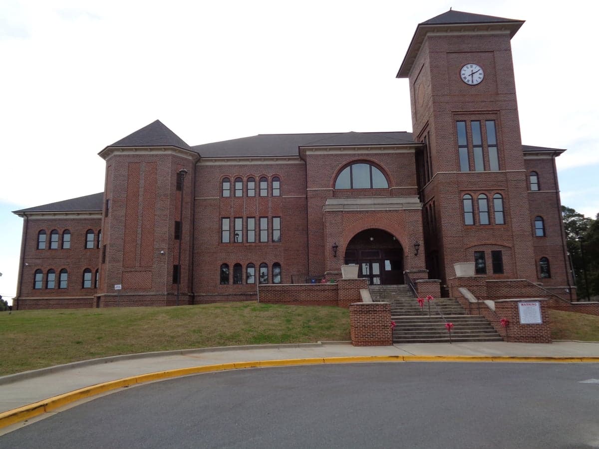
Photo: Wikipedia
Strategic Assessment of Sumter County
Workable tactical position. Some exposure to population density or targets, but generally defensible in a crisis.
What does the Strategic Assessment tell us?
Our Strategic Assessment grades tactical survivability of an area. Major population centers, military targets, fallout zones, natural disasters, and border exposure all drive risk — lower exposure means a more defensible position in a crisis.
This is heavily inspired by Joel Skousen's Strategic Relocation book. Highly recommended you checkout the book ($)What does this tell us?
Our Strategic Assessment grades tactical survivability of an area. Major population centers, military targets, fallout zones, natural disasters, and border exposure all drive risk — lower exposure means a more defensible position in a crisis.
This is heavily inspired by Joel Skousen's Strategic Relocation book. Highly recommended you checkout the book ($)Strategic Pillars

Key Distances
Strategic Assessment Analysis
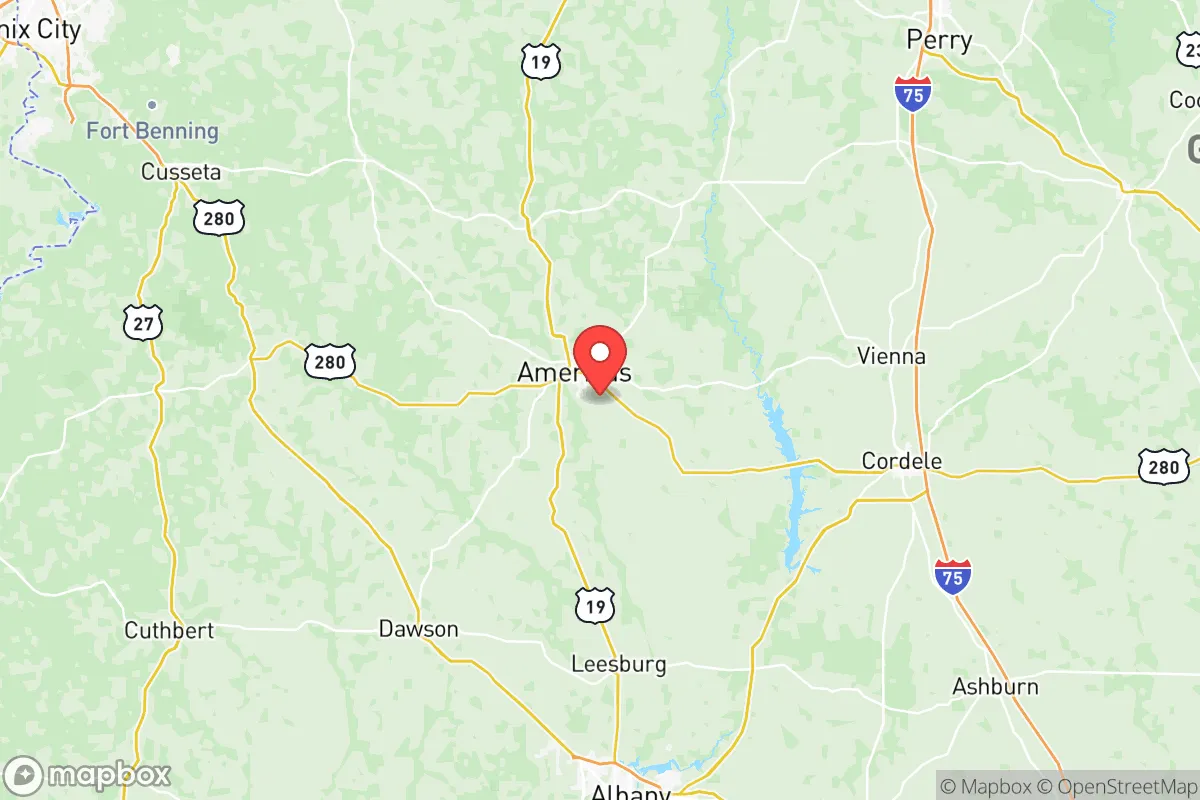
Sumter County, Georgia, occupies a strategic middle-ground position that balances rural self-sufficiency with access to regional infrastructure, making it a noteworthy option for relocators prioritizing disaster readiness and long-term resilience. Anchored by the city of Americus, the county sits roughly 100 miles south of Atlanta and 60 miles west of Macon, placing it outside the immediate blast or fallout zones of major metropolitan targets while still within a day’s drive of critical supply chains and medical hubs. The area’s low population density—around 30,000 residents spread over 485 square miles—combined with its agricultural base and relatively affordable land, creates a foundation for the kind of self-reliant lifestyle that preparedness-minded individuals and families often seek.
Geographic position and natural advantages for long-term security
Sumter County’s location in southwest Georgia offers several inherent resilience advantages. The region sits atop the Floridan Aquifer, one of the most productive groundwater sources in the southeastern United States, providing reliable access to fresh water even during drought conditions or infrastructure disruptions. The terrain is predominantly flat to gently rolling, with elevations around 350-400 feet—low enough to avoid the severe winter weather of the Appalachians but high enough to be largely free from coastal storm surge risks. The county is roughly 150 miles inland from the Gulf of Mexico, reducing direct hurricane wind and flood exposure compared to coastal Georgia communities like Savannah or Brunswick. The climate supports year-round growing seasons, with an average 240 frost-free days annually, enabling sustained food production through gardening, orchards, and small-scale farming. The Flint River forms the county’s eastern boundary, offering a natural waterway for potential transport or irrigation, while the surrounding pine forests and farmland provide both timber resources and open space for defensible property layouts.
Risks, exposures, and proximity to fallout-relevant landmarks
While Sumter County avoids the highest-risk zones, it is not without vulnerabilities that a strategic relocator must weigh. The most significant man-made risk factor is Marine Corps Logistics Base Albany, located roughly 30 miles southeast in Dougherty County. This facility stores and maintains heavy military equipment, including armored vehicles and munitions, making it a potential secondary target in a major conflict scenario. Fallout patterns from a strike on Albany could affect eastern Sumter County depending on wind direction, though the distance provides some buffer. Additionally, the county lies approximately 80 miles north of Moody Air Force Base near Valdosta, another potential target. On the natural hazard side, the region experiences occasional tornadoes—Georgia averages 30-40 tornadoes annually, with southwest Georgia in the higher-risk corridor—and severe thunderstorms that can bring damaging winds and hail. Flooding is localized, primarily along the Flint River floodplain and smaller creeks, but most residential areas in Americus and surrounding communities sit on higher ground. The county’s rural character means emergency response times can be longer than in urban areas, particularly for remote properties; the nearest Level I trauma center is in Macon, about 60 miles northeast.
Practical resilience for a relocator: food, water, energy, and defensibility
For someone serious about self-sufficiency, Sumter County offers strong fundamentals. Water access is the standout advantage: private wells tapping the Floridan Aquifer typically yield 20-50 gallons per minute at depths of 100-300 feet, and well-drilling costs in the region are among the lowest in the Southeast, often under $5,000 for a complete installation. The county’s agricultural heritage means local knowledge of soil management, crop rotation, and livestock husbandry is readily available through the University of Georgia Cooperative Extension office in Americus. The growing season supports warm-weather staples like corn, beans, squash, and melons from April through October, with cool-season crops possible in winter with minimal protection. Energy resilience is moderate: Georgia Power serves the area with a mix of natural gas, nuclear (Plant Hatch is 70 miles east), and hydroelectric sources, but grid reliability in rural southwest Georgia can be tested during summer storms. Solar potential is good, with the region averaging 5.2 peak sun hours per day, and off-grid systems are feasible on larger parcels. Defensibility varies by property: the open farmland offers clear sightlines but limited natural cover, while wooded tracts along the Flint River or near Leslie and Plains provide more concealment. The county’s low crime rate—violent crime in Americus runs about 30% below the national average—and tight-knit community structure reduce the need for hard defensive postures in normal times, though rural isolation means neighbors are often the first line of mutual aid.
The overall strategic picture for Sumter County is one of moderate-to-strong resilience with manageable trade-offs. It lacks the extreme remoteness of mountain refuges in north Georgia or the deep wilderness of the Okefenokee region, but it compensates with superior water resources, a forgiving climate for food production, and proximity to regional medical and supply infrastructure in Macon and Albany. The presence of military logistics facilities within 30-80 miles introduces a non-trivial risk in worst-case scenarios, but for most disaster scenarios—pandemics, economic disruption, grid failure, or natural disasters—the county’s agricultural base, low population density, and affordable land prices make it a practical choice. Relocators should prioritize parcels east of Americus or near the Flint River for water access, verify well yields before purchase, and consider investing in solar-plus-battery systems to offset grid vulnerabilities. For a family or individual seeking a balance between rural self-sufficiency and reasonable access to civilization, Sumter County represents a solid, defensible option in Georgia’s strategic landscape.

* Values derived from national, state, county, city and local statistics and may differ in a specific area. Last updated: 2026-10-31T14:22:52.000Z
Narrative content on this page is AI-generated and may contain mistakes. Verify any details that matter before acting on them.
ReloMaps may earn a commission from affiliate links at no extra cost to you.

