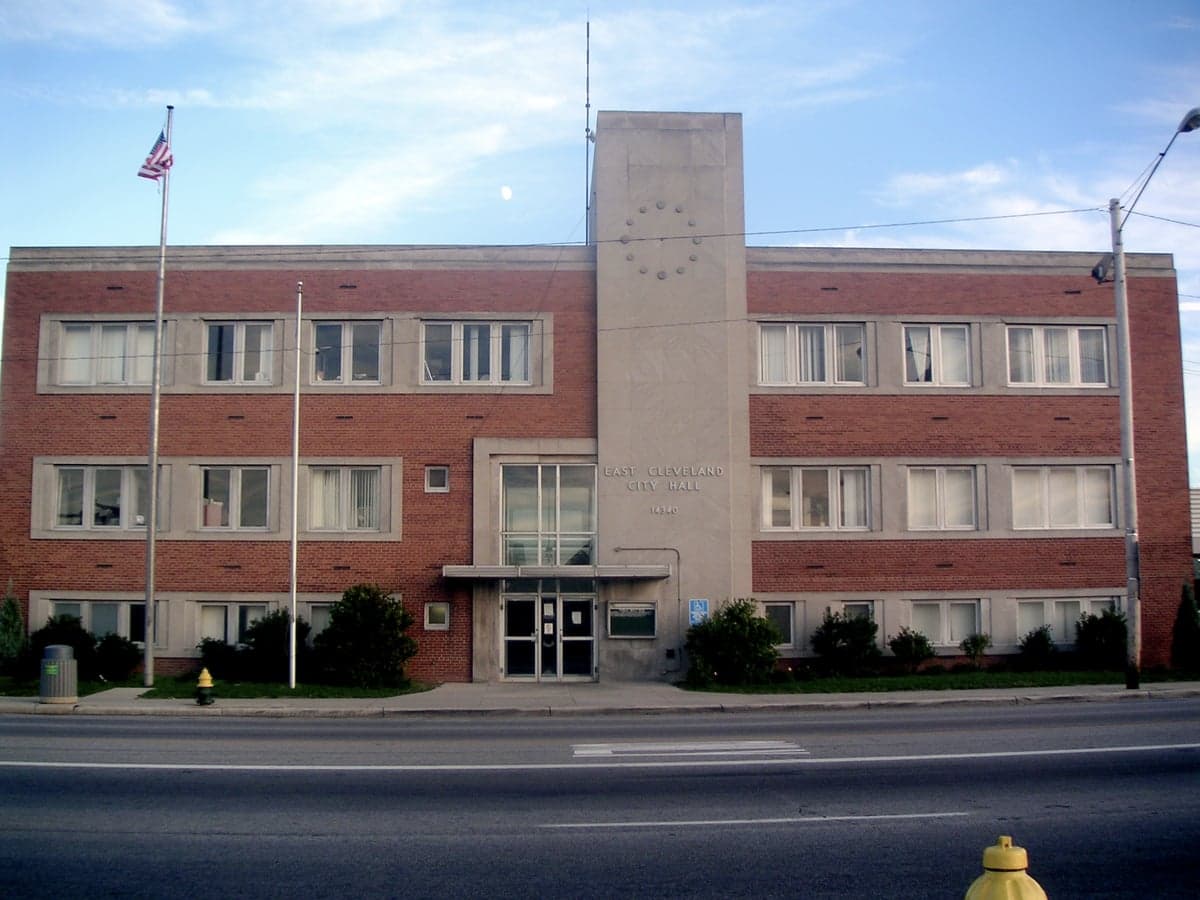
Photo: Wikipedia
Strategic Assessment of East Cleveland, OH
Multiple tactical vulnerabilities. Population density, target proximity, or disaster risk are likely compounding. A retreat property and exit planning is required.
What does the Strategic Assessment tell us?
Our Strategic Assessment grades tactical survivability of an area. Major population centers, military targets, fallout zones, natural disasters, and border exposure all drive risk — lower exposure means a more defensible position in a crisis.
This is heavily inspired by Joel Skousen's Strategic Relocation book. Highly recommended you checkout the book ($)What does this tell us?
Our Strategic Assessment grades tactical survivability of an area. Major population centers, military targets, fallout zones, natural disasters, and border exposure all drive risk — lower exposure means a more defensible position in a crisis.
This is heavily inspired by Joel Skousen's Strategic Relocation book. Highly recommended you checkout the book ($)Strategic Pillars

Key Distances
Regional Safe Places
Below is our recommended "safe zones" in Ohio and the surrounding area based on our strategic heuristics. For most people, it's unrealistic to live in a “safe zone” full-time due to work, family or other personal reasons. They tend to be more rural. However, many of these areas are perfect for second homes and retreat properties that double as a vacation home or even a short-term rental.

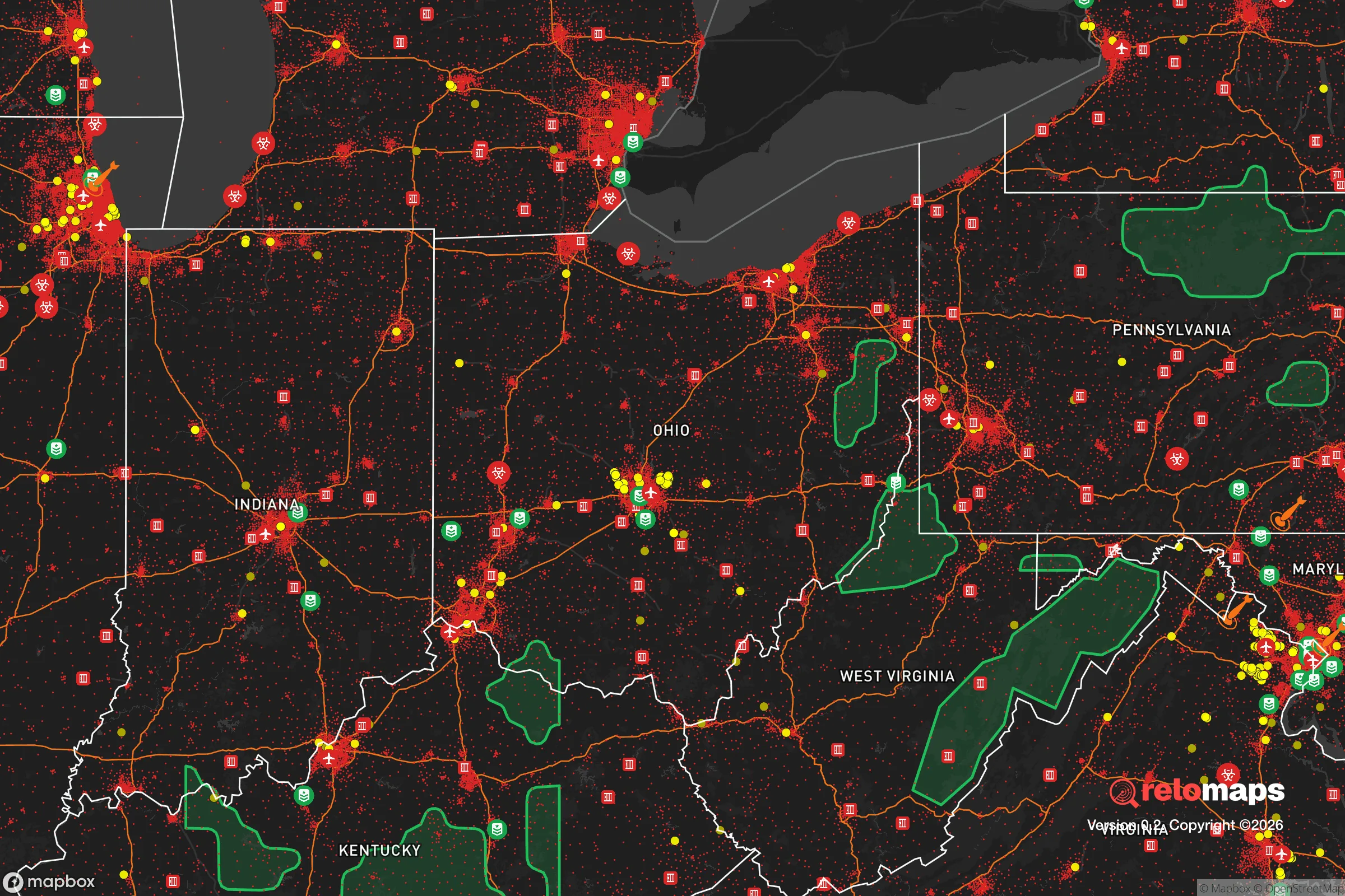


Important Note: For informational purposes only. This does not mean nothing bad ever happens in the green zones. Please use common sense. This is based on public data and modeled with AI. We tried to take a conservative approach but mistakes happen. We update this regularly as new information becomes available.
Solar Generator Recommendations
Backup power matters more here than in safer locations. We've picked three solar generators across budgets and capacity tiers — start with the budget unit if you only need a few essentials, or step up if you want to run a fridge and HVAC for days at a time.

Jackery Portable Power Station Explorer 300
Budget OptionPower on the Go: Weighing only 11 lbs, it's convenient to set up and store with book-sized foldable solar panels

BLUETTI Portable Power Station AC180
Designed for both indoor and outdoor scenarios, AC180 is highly capable as it has a robost capacity and continuous output power.

EF ECOFLOW DELTA Pro Ultra Power Station
Upgraded PickEcoFlow DELTA Pro Ultra is a whole-home energy system designed to grow with your family. Integrated with the Smart Home Panel 2, it scales to meet your evolving energy needs — keeping your home powered, intelligent, and secure through every stage of life.
We earn a commission, at no additional cost to you.
Strategic Assessment Analysis
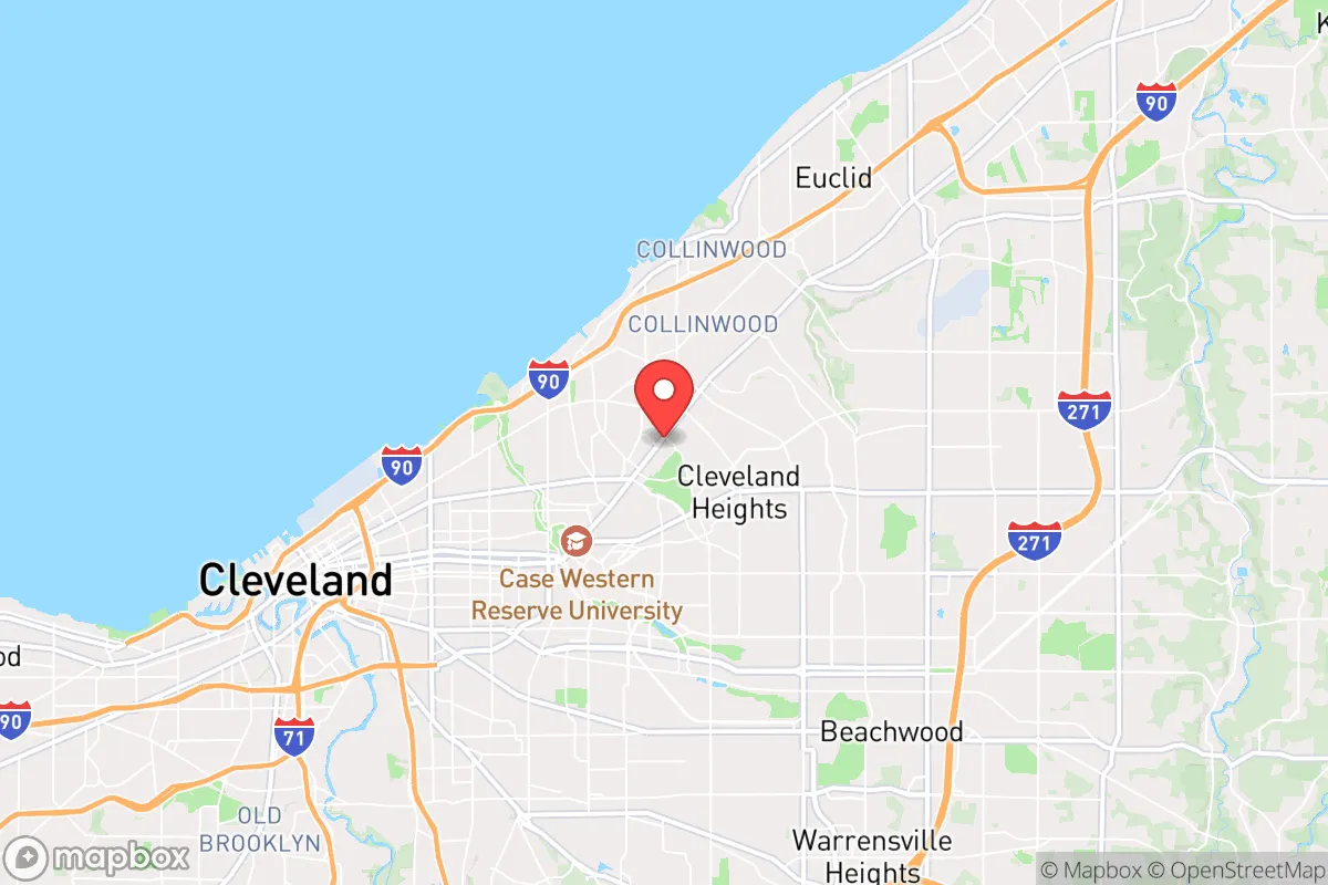
East Cleveland, Ohio, presents a complex strategic picture for the relocation-minded individual or family prioritizing resilience and self-sufficiency. While the city itself faces significant socioeconomic challenges, its geographic position within the Great Lakes region offers genuine defensive advantages, including a massive freshwater resource and a location far from the most probable high-value national targets. However, its proximity to the urban core of Cleveland and the industrial and infrastructure assets along Lake Erie introduces specific risks that a serious preparedness-minded relocator must weigh carefully.
Geographic position and natural defensive advantages of East Cleveland
East Cleveland sits on the southern shore of Lake Erie, roughly 10 miles east of downtown Cleveland. This location provides what is arguably the single most important resilience asset in the eastern United States: unlimited access to fresh water. Lake Erie holds over 115 cubic miles of water, making it the fourth-largest of the Great Lakes by volume and a resource that is effectively immune to drought or contamination events that would cripple inland communities. For a household planning for long-term self-sufficiency, this proximity means water security is not a theoretical concern but a practical, daily advantage.
The region's topography is another quiet asset. East Cleveland sits on the Allegheny Plateau, with modest elevation changes and a mix of forested ravines and open land. While not mountainous, this terrain offers natural drainage and some concealment from major transportation corridors. The city is also positioned within the Lake Erie snowbelt, which, while a nuisance for daily life, provides a reliable winter water cycle and reduces the risk of prolonged wildfire—a hazard that increasingly threatens western and southern states. The surrounding Cuyahoga County has a relatively low population density compared to coastal metros, and the broader region is crisscrossed by secondary roads and rail lines that offer redundancy if primary routes like Interstate 90 are compromised.
Risks, exposures, and proximity to fallout-relevant landmarks
The most significant strategic vulnerability of East Cleveland is its proximity to the Cleveland metropolitan area and its associated critical infrastructure. Downtown Cleveland is roughly 10 miles west, and within that radius lie major rail yards, the Cleveland Hopkins International Airport, the Port of Cleveland, and several industrial facilities including chemical plants and refineries along the Cuyahoga River. In a national emergency or conflict scenario, these are plausible targets for kinetic or cyber attack, and East Cleveland sits within the fallout or secondary-effect zone of any strike on those assets. The city's own infrastructure—aging water mains, an electrical grid that relies on lines running through the urban core—is tied directly to this regional network.
Natural hazard exposure is moderate but real. The primary risk is severe winter storms, which can dump several feet of lake-effect snow in a single event, paralyzing roads and straining power lines. Ice storms are a recurring threat, and the region's aging tree canopy frequently brings down lines during high winds. Tornado risk is lower than in the Plains but not negligible; Cuyahoga County averages one or two weak tornadoes per year. Flooding is localized, mostly along the Euclid Creek and Doan Brook watersheds that run through the city. Earthquake risk is minimal. The area is not prone to hurricanes, tsunamis, or significant seismic activity, which makes it comparatively stable for long-term planning.
On the man-made risk side, the most overlooked factor is socioeconomic fragility. East Cleveland has a poverty rate above 30%, a shrinking tax base, and a municipal government that has faced repeated fiscal emergencies. This means that in a crisis—whether a pandemic, a cyberattack on the power grid, or a supply chain disruption—the local capacity to respond, distribute aid, or maintain order is significantly lower than in wealthier suburbs. A relocator must plan for self-reliance not just for comfort, but for basic security, as public services may be delayed or absent during a prolonged event.
Practical resilience for a relocator: food, water, energy, and defensibility
For the individual or family serious about self-sufficiency, East Cleveland offers a mixed but workable foundation. Water is the strongest asset. A household with a rain catchment system, a simple filtration setup (like a Berkey or Sawyer filter), and access to Lake Erie via a nearby public access point can secure a virtually unlimited supply. The lake's water is generally clean but requires treatment for pathogens and sediment; a basic gravity-fed filter and a few gallons of bleach provide a robust backup.
Food resilience is more challenging. The city itself is a food desert, with limited grocery options and a heavy reliance on convenience stores. However, the surrounding region—particularly eastern Cuyahoga County and adjacent Geauga County—has rich agricultural land and a strong local farming network. Within a 20-minute drive, one can find u-pick farms, farmers' markets, and Amish-run produce stands. For a relocator willing to garden, the growing season runs from May to October, and the soil in the area is generally fertile, though it may require amendment due to historical industrial contamination in some pockets. A serious household should plan to establish a vegetable garden and possibly a small chicken flock; local ordinances in East Cleveland are restrictive on livestock, but neighboring communities are more permissive.
Energy resilience is a weak point. The regional grid is reliable under normal conditions but vulnerable to ice storms and cyber threats. Solar is viable but not optimal; the region averages only 160 sunny days per year, compared to 200+ in the Southwest. A solar setup with battery storage can still work, but it requires oversizing panels and accepting lower winter output. A better bet for off-grid energy is a small generator running on propane or natural gas, both of which are widely available in the area. Wood heat is also practical, as firewood is abundant and affordable from local suppliers.
Defensibility is a nuanced topic. East Cleveland's urban layout—dense housing, narrow streets, and a grid pattern—is not ideal for perimeter security or retreat. However, the city's low population density and high vacancy rate (over 20% of housing units are vacant) mean that a determined household can secure a property with good sightlines and limited neighbors. The key is to choose a home on a corner lot or at the end of a dead-end street, with a fenced yard and a basement for shelter. The nearby Cuyahoga Valley National Park and the extensive Metroparks system provide wilderness access for hunting, foraging, and emergency retreat within a 30-minute drive.
Overall, East Cleveland is not a turnkey resilience destination. It requires a relocator to be proactive, resourceful, and willing to invest in infrastructure that the local government cannot provide. The area's greatest strengths—unlimited fresh water, a stable climate, and proximity to productive farmland—are balanced by real vulnerabilities: urban proximity, socioeconomic fragility, and a grid that is only as strong as its weakest link. For the disciplined individual or family who can secure a defensible property, build a robust water and energy system, and establish local supply chains, East Cleveland offers a strategic position that few other locations in the Rust Belt can match. It is a place for those who understand that resilience is not a destination but a daily practice.

* Values derived from national, state, county, city and local statistics and may differ in a specific area. Last updated: 2026-06-16T10:00:30.000Z
Narrative content on this page is AI-generated and may contain mistakes. Verify any details that matter before acting on them.
ReloMaps may earn a commission from affiliate links at no extra cost to you.

