Photo: Wikipedia
Strategic Assessment of Clarkston, MI
Meaningful friction. Expect exposure to either population pressure, blast zones, or natural disaster risk. Consider buying a retreat property.
What does the Strategic Assessment tell us?
Our Strategic Assessment grades tactical survivability of an area. Major population centers, military targets, fallout zones, natural disasters, and border exposure all drive risk — lower exposure means a more defensible position in a crisis.
This is heavily inspired by Joel Skousen's Strategic Relocation book. Highly recommended you checkout the book ($)What does this tell us?
Our Strategic Assessment grades tactical survivability of an area. Major population centers, military targets, fallout zones, natural disasters, and border exposure all drive risk — lower exposure means a more defensible position in a crisis.
This is heavily inspired by Joel Skousen's Strategic Relocation book. Highly recommended you checkout the book ($)Strategic Pillars

Key Distances
Regional Safe Places
Below is our recommended "safe zones" in Michigan and the surrounding area based on our strategic heuristics. For most people, it's unrealistic to live in a “safe zone” full-time due to work, family or other personal reasons. They tend to be more rural. However, many of these areas are perfect for second homes and retreat properties that double as a vacation home or even a short-term rental.


Important Note: For informational purposes only. This does not mean nothing bad ever happens in the green zones. Please use common sense. This is based on public data and modeled with AI. We tried to take a conservative approach but mistakes happen. We update this regularly as new information becomes available.
Solar Generator Recommendations
Backup power matters more here than in safer locations. We've picked three solar generators across budgets and capacity tiers — start with the budget unit if you only need a few essentials, or step up if you want to run a fridge and HVAC for days at a time.

Jackery Portable Power Station Explorer 300
Budget OptionPower on the Go: Weighing only 11 lbs, it's convenient to set up and store with book-sized foldable solar panels

BLUETTI Portable Power Station AC180
Designed for both indoor and outdoor scenarios, AC180 is highly capable as it has a robost capacity and continuous output power.

EF ECOFLOW DELTA Pro Ultra Power Station
Upgraded PickEcoFlow DELTA Pro Ultra is a whole-home energy system designed to grow with your family. Integrated with the Smart Home Panel 2, it scales to meet your evolving energy needs — keeping your home powered, intelligent, and secure through every stage of life.
We earn a commission, at no additional cost to you.
Strategic Assessment Analysis
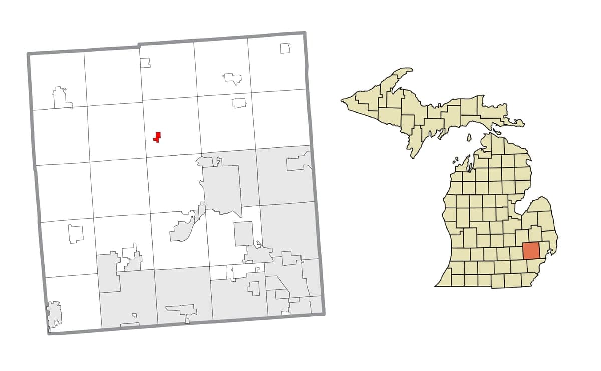
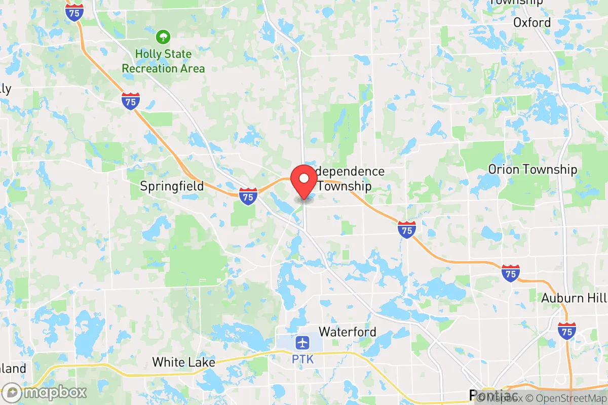
Clarkston, Michigan, offers a surprisingly strong strategic position for those prioritizing disaster readiness and self-sufficiency, balancing proximity to major urban resources with a buffer from their most acute risks. Its location in northern Oakland County, roughly 40 miles northwest of Detroit, places it at a critical inflection point between the dense, vulnerable population centers of southeast Michigan and the more sparsely populated, resource-rich regions of the Thumb and northern Lower Peninsula. For a relocator thinking seriously about resilience, Clarkston presents a viable "stand-off" position—close enough to access Detroit's medical and logistical infrastructure in a crisis, yet far enough to avoid the worst of a metropolitan-area cascading failure or a direct fallout event.
Geographic position and natural advantages for disaster readiness
Clarkston's geography provides several inherent defensive advantages. The area sits on the headwaters of the Clinton River, with the surrounding landscape characterized by rolling hills, glacial lakes, and significant hardwood forests—a far cry from the flat, open farmland that dominates much of the rest of the region. This topography offers natural cover and dispersion, making the area less susceptible to the blast-wave propagation and line-of-sight radiation effects that would devastate flatter terrain. The numerous kettle lakes—including Clinton Lake, Middle Lake, and Square Lake—serve as distributed, natural water reservoirs, reducing the single-point-of-failure risk that plagues communities reliant on a single reservoir or aquifer. The area's elevation, while modest (around 1,000 feet), is among the highest in southeastern Michigan, providing a slight advantage in terms of drainage and reduced flood risk compared to communities along the Huron or Detroit rivers. The dense forest cover also provides natural camouflage and a buffer against wind-borne contaminants, though it does introduce a significant wildfire fuel load during dry periods.
Risks, exposures, and proximity to fallout-relevant landmarks
The primary strategic vulnerability for Clarkston is its proximity to several high-value, high-risk targets. Clarkston lies roughly 30 miles from the Detroit Metropolitan Airport (DTW), a major international hub and a likely target for both kinetic and electromagnetic pulse (EMP) attacks. It is also within 40 miles of the Ford River Rouge Complex and the General Motors Detroit-Hamtramck Assembly plant, both critical industrial infrastructure. The area is approximately 50 miles from the Fermi 2 nuclear power plant in Newport, a pressurized water reactor that, while robust, represents a plausible radiological release scenario. For a relocator, this means that a major event in Detroit or its industrial suburbs could produce a fallout plume that passes over or near Clarkston, depending on prevailing westerly winds. The area is also within the fallout shadow of a potential ground burst on the Selfridge Air National Guard Base (about 35 miles east), which houses A-10 and KC-135 aircraft and is a likely early target. Natural risks are lower: the area is not in a designated floodplain for the most part, though the Clinton River can flood locally. Tornado risk is moderate, consistent with the broader Great Lakes region, but the hilly terrain can create localized wind shear and microbursts. The primary man-made risk is a prolonged power outage from a grid failure or cyberattack, given the area's reliance on the regional grid and the vulnerability of the DTE Energy infrastructure.
Practical resilience for a relocator: food, water, energy, and defensibility
For a relocator seeking self-sufficiency, Clarkston offers a mixed but workable picture. Water is the strongest asset: the abundance of lakes and the relatively high water table mean that a well-equipped property can have a reliable, off-grid water source. Many homes in the area already have private wells, and the glacial till aquifer is generally productive and of good quality, though it can be hard (high mineral content). Surface water from the lakes is plentiful but requires filtration and boiling. Food resilience is moderate: the area has a growing local food scene, with the Clarkston Farmers Market and several community-supported agriculture (CSA) operations like Hickory Ridge Farm and Lakes Area Farm. However, the growing season is short (roughly 140 days), and the soil is a mix of sandy loam and clay, requiring amendment for serious vegetable production. For long-term food security, a relocator would need to invest in cold frames, greenhouses, or root cellaring. Energy resilience is a weak point: the grid is reliable day-to-day but vulnerable to ice storms and high winds. Solar potential is moderate (roughly 4.2 peak sun hours per day), but the tree cover means that rooftop solar requires careful siting. Natural gas is widely available, which is a plus for heating and cooking during a power outage if the gas grid remains pressurized. Wood heating is viable given the forest cover, but the area's air quality regulations can restrict burning during inversions. Defensibility is a double-edged sword: the hilly, wooded terrain provides natural concealment and chokepoints, but it also limits lines of sight and makes perimeter security difficult. The community is spread out, with a mix of dense subdivisions and larger rural parcels. The ideal property for a relocator would be a 5-10 acre parcel on a dead-end road with a well, a south-facing slope for solar, and a woodlot. The local government is generally supportive of property rights, but zoning in the village itself can be restrictive; the surrounding Independence and Springfield townships are more permissive for outbuildings, livestock, and alternative energy systems.
The overall strategic picture for Clarkston is one of a capable but not invulnerable position. It is not a remote bunker—it is a suburban-rural interface community with real exposure to the risks of the Detroit metroplex. For a relocator who wants to maintain a career in the region while having a defensible, resource-secure home base, Clarkston is a strong candidate. The key is to treat it as a stand-off position, not a retreat: you are close enough to the city to benefit from its resources, but you must have your own water, food, and power to weather the first 30 days of a crisis. The community itself is generally conservative and self-reliant, with a strong tradition of hunting, fishing, and outdoor skills. The biggest single risk is the fallout shadow from a Detroit-area strike, which would require a pre-planned evacuation route north toward the M-15 corridor or I-75 into the less-targeted regions of Lapeer and Genesee counties. For the serious relocator, Clarkston is a place to build a resilient life—not a place to hide from one.

* Values derived from national, state, county, city and local statistics and may differ in a specific area. Last updated: 2026-10-05T03:58:24.000Z
Narrative content on this page is AI-generated and may contain mistakes. Verify any details that matter before acting on them.
ReloMaps may earn a commission from affiliate links at no extra cost to you.

