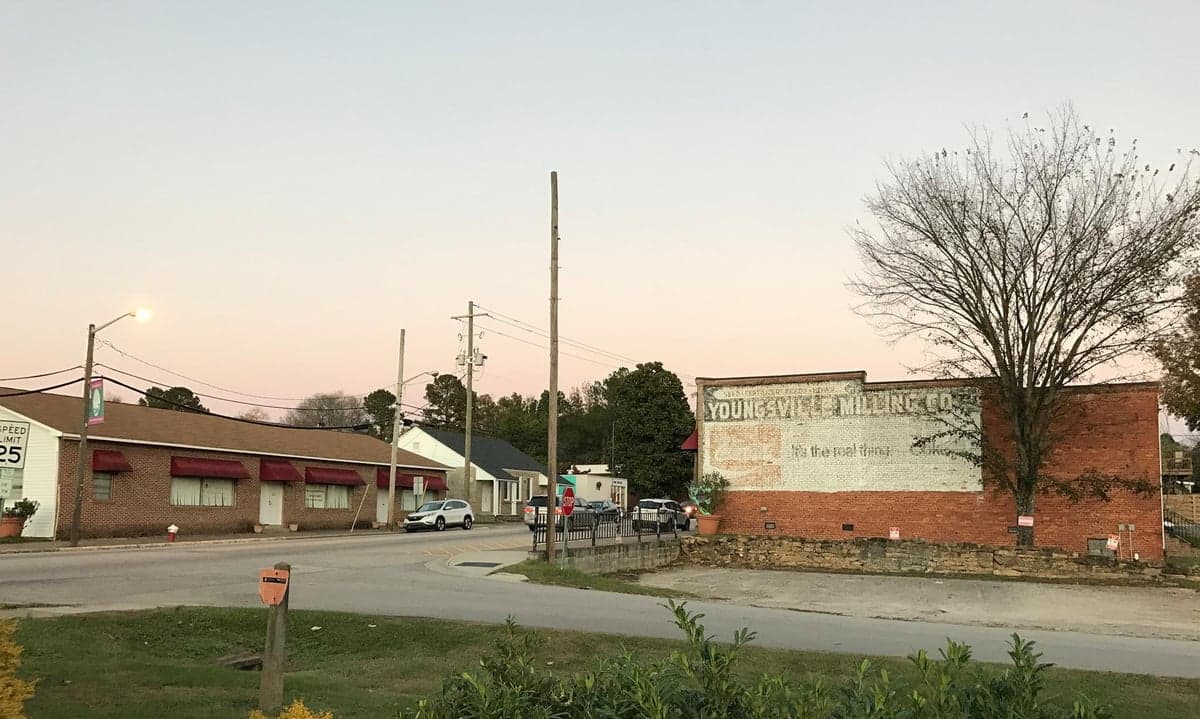
Photo: Wikipedia
Strategic Assessment of Youngsville, NC
Meaningful friction. Expect exposure to either population pressure, blast zones, or natural disaster risk. Consider buying a retreat property.
What does the Strategic Assessment tell us?
Our Strategic Assessment grades tactical survivability of an area. Major population centers, military targets, fallout zones, natural disasters, and border exposure all drive risk — lower exposure means a more defensible position in a crisis.
This is heavily inspired by Joel Skousen's Strategic Relocation book. Highly recommended you checkout the book ($)What does this tell us?
Our Strategic Assessment grades tactical survivability of an area. Major population centers, military targets, fallout zones, natural disasters, and border exposure all drive risk — lower exposure means a more defensible position in a crisis.
This is heavily inspired by Joel Skousen's Strategic Relocation book. Highly recommended you checkout the book ($)Strategic Pillars

Key Distances
Regional Safe Places
Below is our recommended "safe zones" in North Carolina and the surrounding area based on our strategic heuristics. For most people, it's unrealistic to live in a “safe zone” full-time due to work, family or other personal reasons. They tend to be more rural. However, many of these areas are perfect for second homes and retreat properties that double as a vacation home or even a short-term rental.

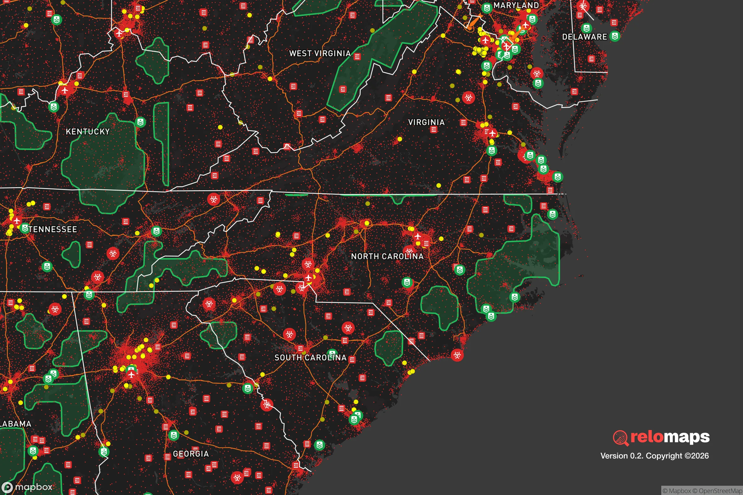


Important Note: For informational purposes only. This does not mean nothing bad ever happens in the green zones. Please use common sense. This is based on public data and modeled with AI. We tried to take a conservative approach but mistakes happen. We update this regularly as new information becomes available.
Solar Generator Recommendations
Backup power matters more here than in safer locations. We've picked three solar generators across budgets and capacity tiers — start with the budget unit if you only need a few essentials, or step up if you want to run a fridge and HVAC for days at a time.

Jackery Portable Power Station Explorer 300
Budget OptionPower on the Go: Weighing only 11 lbs, it's convenient to set up and store with book-sized foldable solar panels

BLUETTI Portable Power Station AC180
Designed for both indoor and outdoor scenarios, AC180 is highly capable as it has a robost capacity and continuous output power.

EF ECOFLOW DELTA Pro Ultra Power Station
Upgraded PickEcoFlow DELTA Pro Ultra is a whole-home energy system designed to grow with your family. Integrated with the Smart Home Panel 2, it scales to meet your evolving energy needs — keeping your home powered, intelligent, and secure through every stage of life.
We earn a commission, at no additional cost to you.
Strategic Assessment Analysis
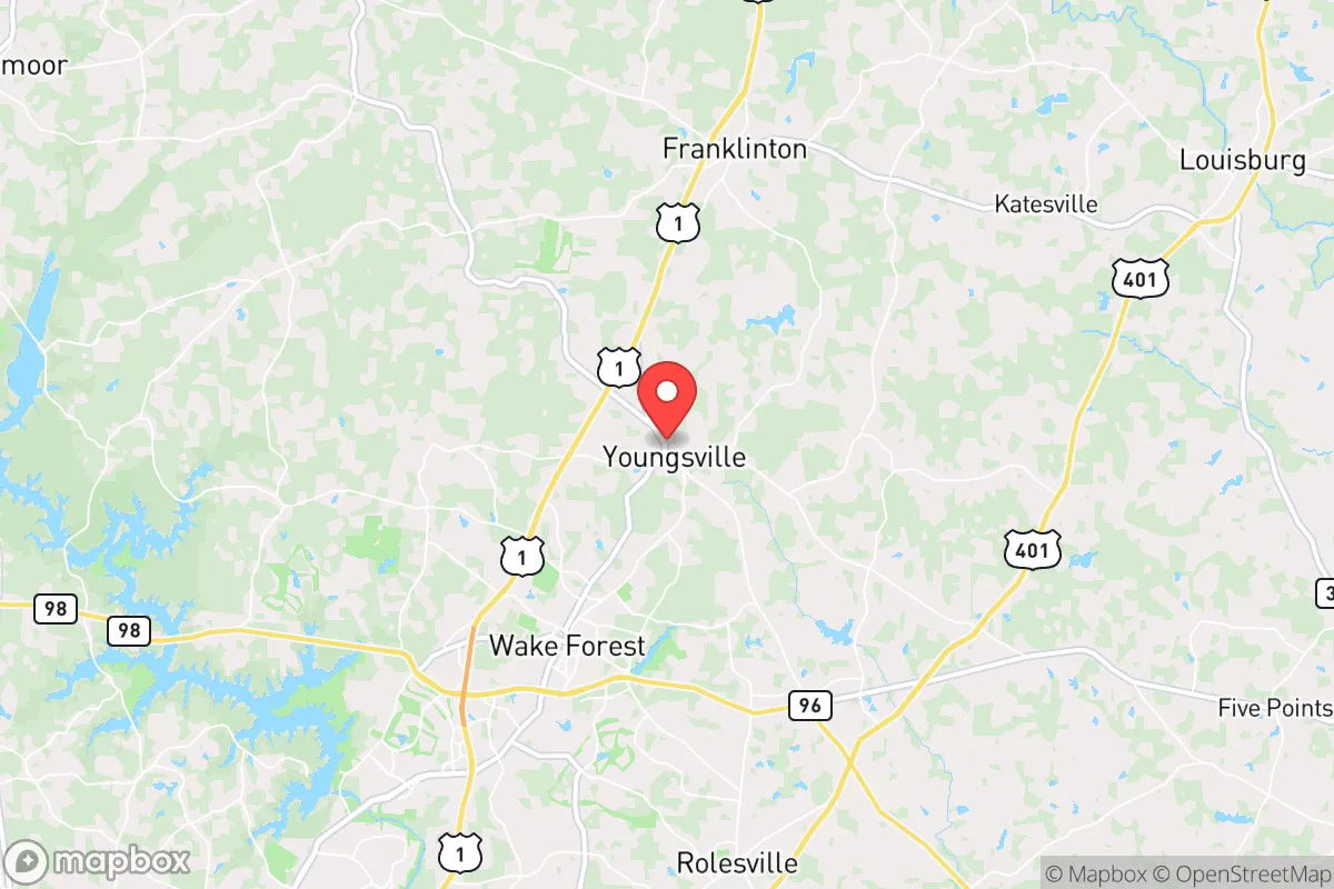
Youngsville, North Carolina, occupies a strategic sweet spot in the state's northern Piedmont region, offering a blend of rural quiet and practical access that makes it a serious contender for relocation-minded individuals and families prioritizing resilience. Located roughly 30 miles northeast of Raleigh and 15 miles north of Wake Forest, Youngsville sits just far enough from the major metropolitan core to avoid the worst of urban congestion and target density, while remaining close enough to leverage the region's economic and logistical infrastructure. The town's position in Franklin County, a largely agricultural area with a population under 75,000, provides a buffer of open space and lower population density that is increasingly valuable for those thinking about disaster readiness and long-term self-sufficiency.
Geographic position and natural advantages for long-term stability
Youngsville's geography is defined by the gently rolling hills of the Piedmont, an area that offers a significant natural advantage over coastal or floodplain locations. The town sits at an elevation of roughly 400 feet above sea level, well above the storm surge zones of the Atlantic coast and the flood-prone areas of the eastern part of the state. This elevation, combined with the region's well-drained, clay-based soils, means that flash flooding from hurricanes or tropical storms—a recurring threat in North Carolina—is far less of a concern here than in communities along the Neuse or Tar Rivers. The area is also outside the primary hurricane track that frequently hits the coast, though inland storms can still bring heavy rain and wind. The local water table is generally deep, reducing the risk of septic system failures or well contamination during heavy rain events, a practical detail for anyone relying on private water sources. The surrounding landscape is a mosaic of small farms, hardwood forests, and rural subdivisions, which provides natural cover and dispersal options in a crisis scenario. The proximity to the Falls Lake reservoir, about 15 miles southwest, offers a significant regional water reserve, though Youngsville itself is not directly dependent on it for daily supply. The town's position along US-1 and near I-85 gives it a solid transportation backbone without being a major chokepoint, allowing for both evacuation and supply movement without the gridlock risks of closer-in suburbs.
Risk exposure, man-made threats, and proximity to fallout-relevant landmarks
While Youngsville's natural risk profile is moderate, the man-made threat landscape requires careful consideration for a resilience-minded relocator. The most significant exposure is the town's proximity to the Research Triangle Park (RTP) and the Raleigh-Durham metropolitan area, which together house a dense concentration of high-tech industry, pharmaceutical research, and federal facilities. In a major geopolitical disruption or conflict, these areas would be high-value targets for cyberattacks, economic warfare, or kinetic strikes. Youngsville's 30-mile distance from downtown Raleigh places it outside the immediate blast and thermal effects of a conventional or nuclear weapon aimed at the city center, but it would still be within the zone of significant fallout risk depending on wind patterns. The town is also roughly 50 miles from the Fort Liberty (formerly Fort Bragg) military installation, one of the largest Army bases in the world. While this proximity provides a potential source of security and logistical support in a national emergency, it also makes the region a strategic target. Closer to home, the Shearon Harris Nuclear Power Plant, located about 35 miles southwest near New Hill, is a potential hazard. A major accident or sabotage event at the plant could create a plume that, under prevailing winds, could affect Franklin County. The plant's emergency planning zone extends 10 miles, but the ingestion pathway zone—where contaminated food and water could be a concern—reaches 50 miles, placing Youngsville within that broader risk envelope. On a more mundane level, the area's reliance on a few major highways (US-1, I-85, I-95) means that a single bridge failure or major accident could significantly disrupt supply chains and evacuation routes. The town's own infrastructure is relatively modest, with a single water treatment plant and a limited number of substations, making it vulnerable to a single-point failure in a prolonged grid-down scenario.
Practical resilience for a relocator: food, water, energy, and defensibility
For the relocator serious about self-sufficiency, Youngsville offers a mix of promising assets and notable gaps. The area's agricultural heritage is a major plus: Franklin County has a strong farming tradition, with local producers of poultry, soybeans, corn, and livestock. The Youngsville Farmers Market and nearby roadside stands provide direct access to fresh food, and the rural zoning allows for backyard gardens, small orchards, and even hobby livestock on parcels of an acre or more. The growing season runs from April to October, with mild winters that permit year-round cold-weather crops like kale and carrots. Water availability is generally good, with most rural properties relying on private wells that tap into the deep Triassic Basin aquifer. Well depths typically range from 100 to 300 feet, and water quality is generally acceptable, though iron and hardness can be issues requiring filtration. The town's municipal water system draws from a combination of wells and surface sources, but a well on your own land is the gold standard for resilience. Energy infrastructure is the weakest link. Duke Energy provides electricity, and the grid in this area is prone to outages during ice storms and summer thunderstorms, sometimes lasting days. Solar potential is decent—the region averages about 210 sunny days per year—but net metering policies in North Carolina have become less favorable in recent years, making off-grid solar with battery storage a more practical investment for true independence. Natural gas is available in parts of Youngsville but not in the more rural outskirts, so propane tanks are common for heating and cooking. Defensibility is a mixed picture. Youngsville itself is a small town of roughly 3,000 residents, with a low crime rate and a tight-knit community that would likely organize quickly in a crisis. The surrounding rural areas offer good line-of-sight and limited access points, but the terrain is not mountainous or heavily forested enough to provide natural defensive barriers. The Franklin County Sheriff's Office has a solid reputation, but response times in the more remote areas can be 20-30 minutes. For a family or individual, the key is to choose a property with good visibility, a single access road, and a reliable backup water and power system. The local gun culture is strong, with several shooting ranges and gun shops in the area, and North Carolina's permissive self-defense laws are a practical advantage for those inclined to prepare.
Overall, Youngsville presents a balanced strategic picture for the relocation-minded reader. It avoids the extreme risks of coastal or urban living while retaining access to the economic and logistical benefits of the Research Triangle region. The natural hazard profile is low, the agricultural potential is real, and the community is small enough to maintain social cohesion in a crisis. The primary vulnerabilities are the proximity to high-value targets in Raleigh and Fort Liberty, the reliance on a fragile regional grid, and the potential for supply chain disruptions along major highways. For a family or individual willing to invest in private well water, solar backup, and a modest food storage program, Youngsville offers a defensible, livable base that balances modern convenience with genuine resilience. It is not a remote bunker location, but it is a practical, grounded choice for those who want to be prepared without disappearing into the wilderness.

* Values derived from national, state, county, city and local statistics and may differ in a specific area. Last updated: 2026-11-13T11:05:16.000Z
Narrative content on this page is AI-generated and may contain mistakes. Verify any details that matter before acting on them.
ReloMaps may earn a commission from affiliate links at no extra cost to you.

