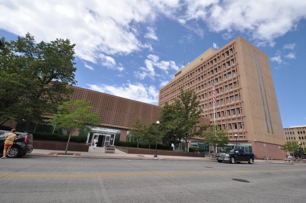
Photo: Wikipedia
Strategic Assessment of Laramie County
Strong survivability profile. Good buffer from population centers, with manageable environmental and tactical risks.
What does the Strategic Assessment tell us?
Our Strategic Assessment grades tactical survivability of an area. Major population centers, military targets, fallout zones, natural disasters, and border exposure all drive risk — lower exposure means a more defensible position in a crisis.
This is heavily inspired by Joel Skousen's Strategic Relocation book. Highly recommended you checkout the book ($)What does this tell us?
Our Strategic Assessment grades tactical survivability of an area. Major population centers, military targets, fallout zones, natural disasters, and border exposure all drive risk — lower exposure means a more defensible position in a crisis.
This is heavily inspired by Joel Skousen's Strategic Relocation book. Highly recommended you checkout the book ($)Strategic Pillars

Key Distances
Strategic Assessment Analysis
Laramie County, anchored by Cheyenne, offers a compelling strategic position for relocation-minded readers prioritizing resilience and self-sufficiency, blending the buffer of the high plains with the practical infrastructure of a state capital. Its location along the I-25 and I-80 corridors provides critical logistical access without the density-driven vulnerabilities of Colorado's Front Range, while the county's elevation and climate present both natural advantages and distinct challenges for long-term preparedness. For those assessing disaster readiness, Laramie County sits far from coastal storm surge zones and major seismic fault lines, yet its proximity to Cheyenne's rail yards, the F.E. Warren Air Force Base missile complex, and regional energy infrastructure demands a clear-eyed evaluation of both its strengths and exposures.
Geographic position and natural advantages for self-sufficiency
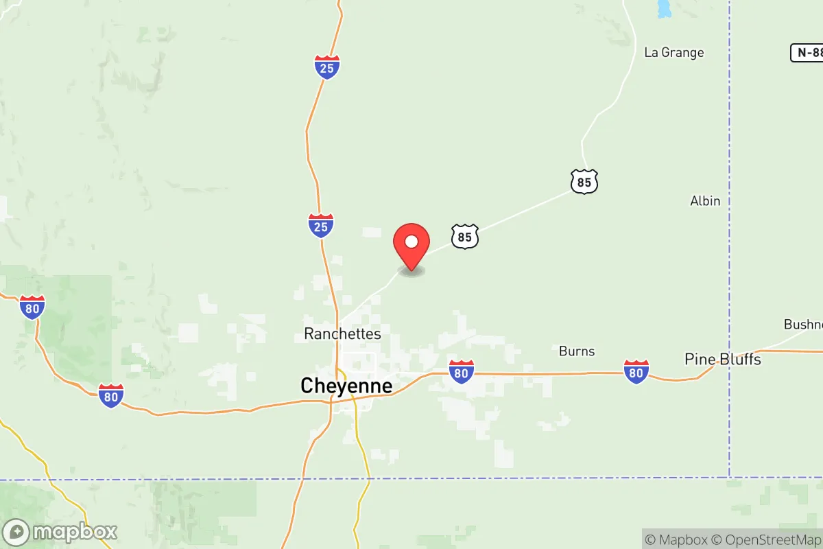
Laramie County occupies a strategic niche on the high plains at roughly 6,000 feet elevation, offering a natural defensive buffer against many of the cascading risks that threaten more densely populated regions. The county's position places it over 100 miles north of Denver's metroplex, far enough to avoid the immediate fallout of a major urban disruption while remaining close enough to access specialized medical care or supply chains if needed. The surrounding landscape is characterized by open rangeland and the Laramie Mountains to the west, providing multiple egress routes via U.S. Highway 85 south toward Colorado and Interstate 80 east toward Nebraska. For a relocator thinking about defensibility, the county's low population density — roughly 100,000 residents spread across 2,688 square miles — means fewer competition points for resources during a crisis. The region's semi-arid climate, with less than 15 inches of annual precipitation, reduces risks from flooding and mold-related infrastructure failures, though it places a premium on water storage and drought planning. The area's natural wind resource, while challenging for daily life, offers a reliable renewable energy option for those with the means to deploy small-scale turbine systems.
Risks, exposures, and proximity to fallout-relevant landmarks
No strategic assessment of Laramie County would be honest without addressing its proximity to several high-value military and industrial targets. F.E. Warren Air Force Base, located within Cheyenne's city limits, operates a significant portion of the nation's intercontinental ballistic missile silos, making the county a potential primary or secondary target in a major conflict scenario. The base's presence also means regular convoys of nuclear-capable equipment move through the region, a fact that some residents accept as part of the trade-off for the economic stability the base provides. Additionally, the county sits within a few hundred miles of the Rocky Mountain Arsenal near Denver and the Pantex Plant in the Texas Panhandle, both of which are associated with nuclear weapons assembly and disassembly. On the natural disaster front, the primary risks are winter storms and blizzards that can shut down transportation for days, and the occasional severe thunderstorm producing large hail. Tornado risk exists but is lower than in Kansas or Oklahoma due to the higher elevation and drier air. The county's location on the Cheyenne Ridge also means it experiences some of the strongest sustained winds in the lower 48 states, which can damage infrastructure and complicate outdoor self-sufficiency efforts like gardening or livestock management.
Practical resilience for a relocator: food, water, energy, and defensibility
For a relocator serious about self-sufficiency, Laramie County presents a mixed picture that rewards preparation. Water is the single most critical constraint: the county relies primarily on groundwater from the High Plains Aquifer and surface water from the North Platte River system, with Cheyenne drawing from the Terry Ranch Reservoir and the Little Snake River via a 130-mile pipeline. New well permits for domestic use are available but require careful siting and depth planning, and the aquifer's long-term sustainability is a subject of ongoing debate. Food resilience is more achievable: the county has a short but intense growing season (roughly 120 frost-free days) suitable for cold-hardy crops like potatoes, root vegetables, and certain grains, and the surrounding ranchland supports cattle and bison operations. Local food production is limited but present, with the Cheyenne Farmers Market and several CSAs providing seasonal access, though year-round food independence would require greenhouse investment. Energy resilience is a relative strength: the county sits atop the Denver-Julesburg Basin, with active oil and gas production, and the wind resource is world-class. Black Hills Energy provides natural gas and electricity, but a relocator should plan for grid outages during winter storms — backup propane or diesel generation is common among prepared residents. Defensibility is aided by the open terrain, which provides long sightlines, but the same flat-to-rolling landscape offers little natural cover. The county's strong gun culture and relatively permissive firearm laws align with a self-defense mindset, and the local sheriff's office maintains a visible presence in rural areas.
The overall strategic picture for Laramie County is one of calculated trade-offs rather than unqualified safety. Its geographic isolation from coastal and seismic risks, combined with a robust local economy anchored by government, agriculture, and energy, makes it a viable destination for those seeking a buffer from urban fragility. However, the presence of F.E. Warren Air Force Base and the region's energy infrastructure introduces a tier of man-made risk that cannot be ignored. For a relocator willing to invest in water storage, winterization, and energy backup, the county offers a defensible position with room to breathe — but it demands a level of preparation that matches the harshness of its winters and the seriousness of its strategic exposures. The key is to locate outside Cheyenne's immediate blast radius while staying close enough to its hospitals and supply lines, a balance that informed relocators can achieve with careful property selection in the county's southern or western reaches.

* Values derived from national, state, county, city and local statistics and may differ in a specific area. Last updated: 2026-07-11T13:11:11.000Z
Narrative content on this page is AI-generated and may contain mistakes. Verify any details that matter before acting on them.
ReloMaps may earn a commission from affiliate links at no extra cost to you.

