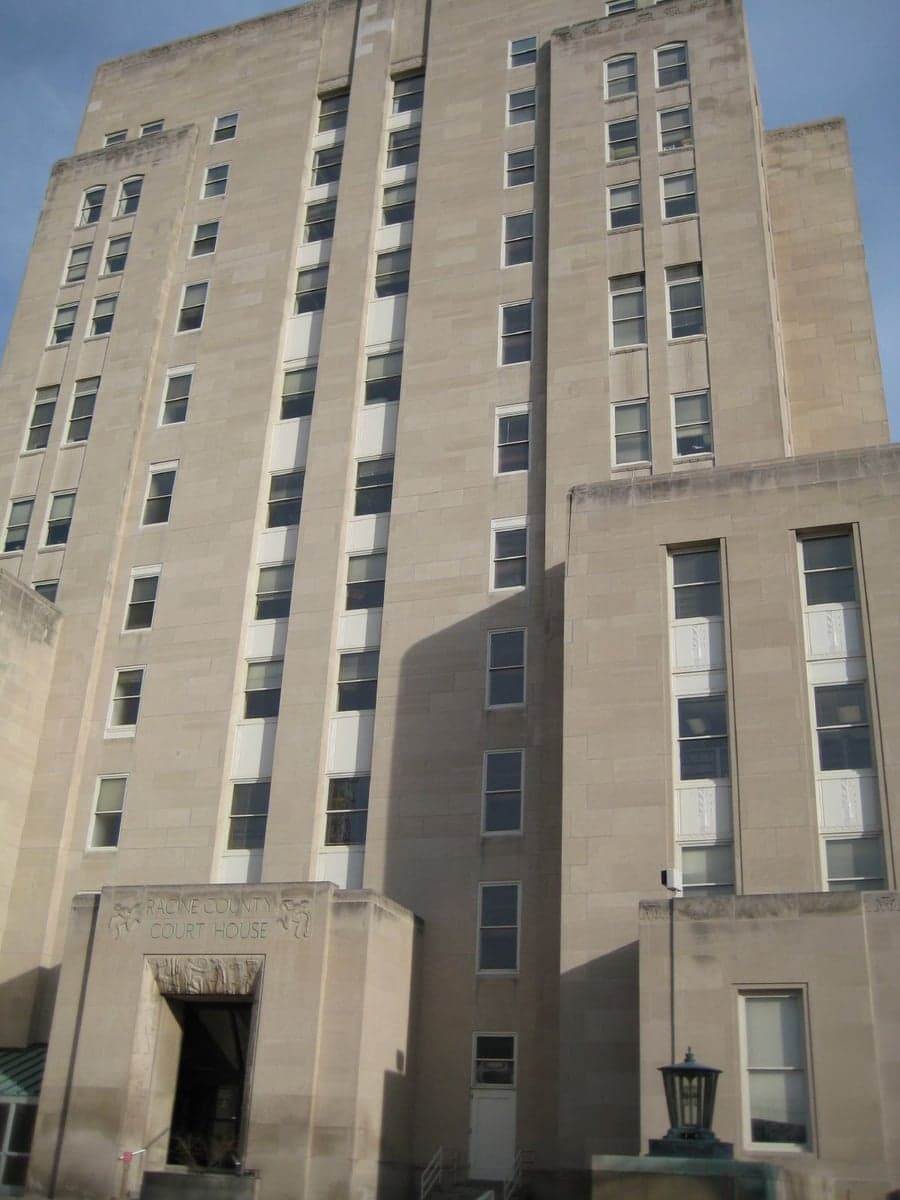
Photo: Wikipedia
Strategic Assessment of Racine County
Meaningful friction. Expect exposure to either population pressure, blast zones, or natural disaster risk. Consider buying a retreat property.
What does the Strategic Assessment tell us?
Our Strategic Assessment grades tactical survivability of an area. Major population centers, military targets, fallout zones, natural disasters, and border exposure all drive risk — lower exposure means a more defensible position in a crisis.
This is heavily inspired by Joel Skousen's Strategic Relocation book. Highly recommended you checkout the book ($)What does this tell us?
Our Strategic Assessment grades tactical survivability of an area. Major population centers, military targets, fallout zones, natural disasters, and border exposure all drive risk — lower exposure means a more defensible position in a crisis.
This is heavily inspired by Joel Skousen's Strategic Relocation book. Highly recommended you checkout the book ($)Strategic Pillars

Key Distances
Strategic Assessment Analysis
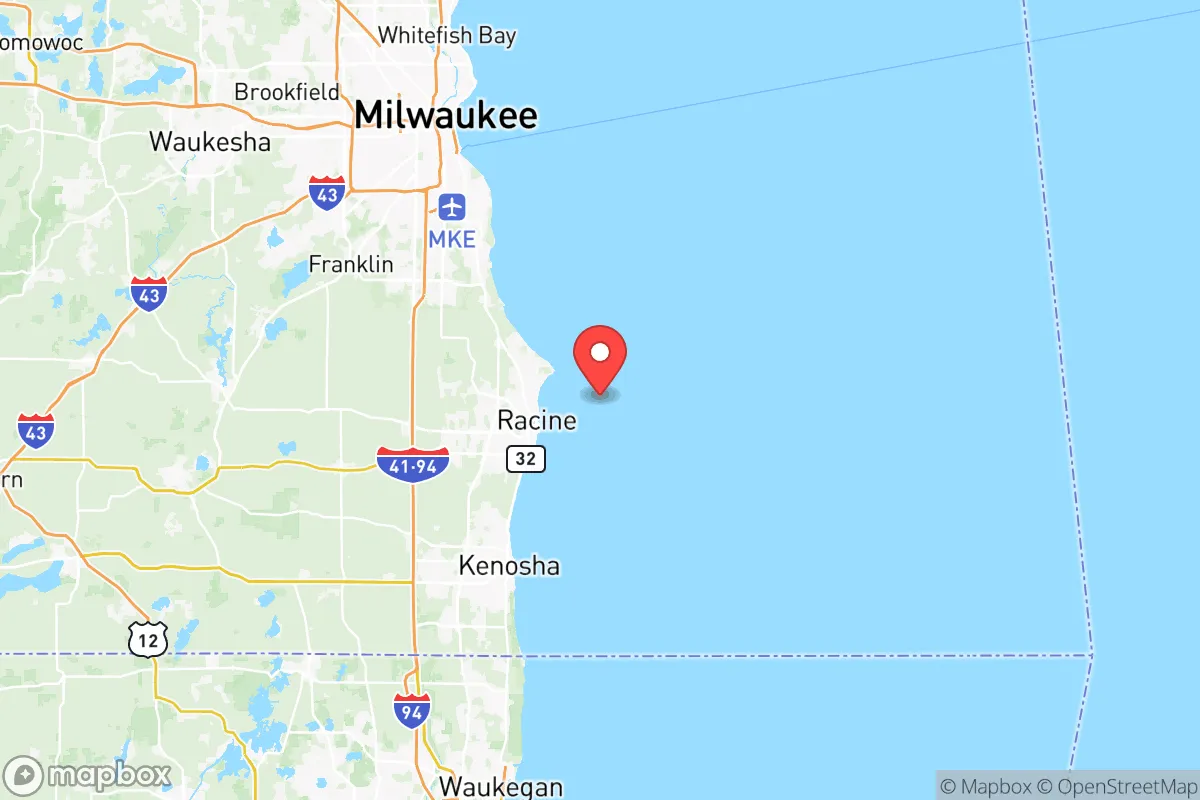
Racine County offers a compelling mix of strategic depth and practical vulnerability for the relocation-minded reader focused on resilience. Its position along the Lake Michigan shoreline, roughly 30 miles south of Milwaukee and 60 miles north of Chicago, provides a buffer from the densest urban fallout zones while still granting access to major infrastructure. The county’s economic and logistical backbone is anchored by the Port of Racine, the SC Johnson headquarters in Sturtevant, and the sprawling Case New Holland industrial complex in Racine city, making it a node of regional significance rather than a mere suburb. For a conservative-leaning individual or family weighing disaster readiness, the area’s combination of freshwater access, agricultural land, and industrial capacity presents a nuanced strategic picture—one with clear advantages and equally clear exposures.
Geographic position and natural advantages for long-term stability
Racine County’s most significant strategic asset is its direct access to Lake Michigan, which provides an essentially limitless supply of fresh water—a critical factor in any long-term disruption scenario. The county sits on a relatively flat glacial plain, with elevations ranging from about 600 feet near the lake to 800 feet inland, offering no major floodplain risks outside of immediate shoreline areas. The Root River runs through the county, draining into Lake Michigan at Racine, and its watershed supports local agriculture and groundwater recharge. The county’s position between the Milwaukee and Chicago metro areas means it is not a primary target for nuclear or industrial fallout, but it is close enough to benefit from the logistical networks of both cities. The presence of Interstate 94 and the Union Pacific rail line running through Sturtevant and Caledonia provides redundant transportation corridors for supply movement, while the rural towns of Burlington and Waterford in the western part of the county offer more defensible terrain with lower population density. The county’s agricultural base—primarily dairy, corn, and soybeans—means that local food production is a realistic possibility, especially in the western townships where farmland dominates the landscape.
Risk exposure and proximity to fallout-relevant landmarks
The same proximity that gives Racine County its logistical advantages also creates its most serious vulnerabilities. The county lies within 60 miles of the Zion Nuclear Power Station in Illinois, a decommissioned plant that still houses spent fuel on site, and within 100 miles of the Byron Nuclear Generating Station and the Dresden Nuclear Power Station, both active. While a catastrophic release from any of these facilities is statistically unlikely, the county’s position downwind of prevailing westerlies means that fallout from a major incident at any of them could reach Racine County within hours. The county also sits near the I-94 industrial corridor, which includes multiple chemical plants, refineries, and manufacturing facilities in the Milwaukee-to-Chicago stretch. The Port of Racine itself handles petroleum products, salt, and aggregate, making it a potential secondary target or point of failure in a broader disruption. For a relocator concerned about civil unrest or supply chain collapse, the county’s proximity to Chicago—a city with a history of civil unrest and a population of 2.7 million—means that any large-scale urban crisis could send waves of refugees north along I-94. The county’s own population of roughly 200,000 is concentrated in the eastern lakefront cities of Racine and Mount Pleasant, leaving the western townships more sparsely populated but also less connected to emergency services. The presence of the Racine County Jail and the Sturtevant-based SC Johnson headquarters are not direct fallout risks, but they represent potential points of government or corporate attention in a crisis.
Practical resilience for a relocator: food, water, energy, and defensibility
For a family or individual looking to establish a self-sufficient household, Racine County offers a mixed bag. The lake provides unlimited water, but treatment infrastructure is centralized and vulnerable to power loss; a household would need a manual pump or gravity-fed filtration system to access lake water independently. Groundwater is available in the western townships, but well depths vary from 50 to 200 feet, and contamination from agricultural runoff is a concern in areas near dairy operations. The county’s electrical grid is served by We Energies, with natural gas and coal plants in the region, but the grid is aging and subject to outages during lake-effect snowstorms and summer heat waves. Solar potential is moderate—the county averages about 4.5 peak sun hours per day—but winter cloud cover can reduce output significantly. Wood heating is viable in the western rural areas, where hardwood forests are common, but air quality regulations in the eastern townships may limit burning. Defensibility is strongest in the western townships—Burlington, Waterford, and Dover—where rural roads, farmland, and natural tree lines provide cover and chokepoints. The eastern lakefront is more exposed, with dense suburban development and limited natural barriers. The county’s agricultural output is real but not sufficient to feed the entire population in a collapse scenario; a relocator would need to secure land for personal gardening or livestock, which is feasible in the western townships but expensive near the lake. The presence of multiple farm supply stores, hardware co-ops, and the Racine County Fairgrounds in Union Grove suggests a local culture of self-reliance, but the county’s overall dependence on regional supply chains for fuel, fertilizer, and manufactured goods is a vulnerability.
Overall, Racine County presents a realistic but not ideal strategic picture for the resilience-minded relocator. Its freshwater access, agricultural land, and buffer from major urban centers are genuine advantages, but its exposure to nuclear and industrial fallout risks, its reliance on centralized infrastructure, and its position along a major refugee corridor from Chicago are serious considerations. The western townships offer the best balance of defensibility and resource access, while the eastern lakefront is more vulnerable but more connected. For a family willing to invest in independent water, energy, and food systems, and who can accept the residual risk from regional industrial and nuclear facilities, Racine County is a viable option—but it is not a fortress. The county’s strength lies in its redundancy and its local agricultural base, not in any natural defensive barrier or isolation. A relocator should treat it as a location for building a resilient household within a broader regional network, not as a standalone survival retreat.

* Values derived from national, state, county, city and local statistics and may differ in a specific area. Last updated: 2026-06-15T20:19:34.000Z
Narrative content on this page is AI-generated and may contain mistakes. Verify any details that matter before acting on them.
ReloMaps may earn a commission from affiliate links at no extra cost to you.

