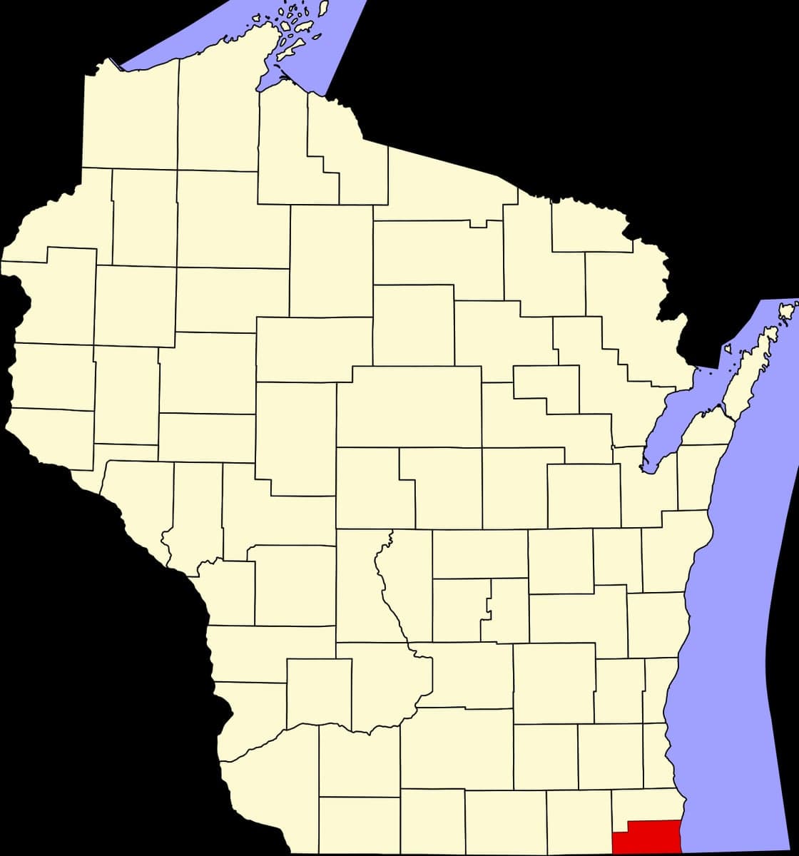

Photo: Wikipedia
Strategic Assessment of Kenosha County
Meaningful friction. Expect exposure to either population pressure, blast zones, or natural disaster risk. Consider buying a retreat property.
What does the Strategic Assessment tell us?
Our Strategic Assessment grades tactical survivability of an area. Major population centers, military targets, fallout zones, natural disasters, and border exposure all drive risk — lower exposure means a more defensible position in a crisis.
This is heavily inspired by Joel Skousen's Strategic Relocation book. Highly recommended you checkout the book ($)What does this tell us?
Our Strategic Assessment grades tactical survivability of an area. Major population centers, military targets, fallout zones, natural disasters, and border exposure all drive risk — lower exposure means a more defensible position in a crisis.
This is heavily inspired by Joel Skousen's Strategic Relocation book. Highly recommended you checkout the book ($)Strategic Pillars

Key Distances
Strategic Assessment Analysis
Kenosha County, Wisconsin, occupies a unique strategic position along the I-94 corridor between Milwaukee and Chicago, offering a blend of Midwestern stability and proximity to major urban resources that makes it a serious consideration for relocation-minded individuals and families. The county’s resilience profile is shaped by its location on the western shore of Lake Michigan, its mix of suburban, agricultural, and industrial zones, and its proximity to both economic opportunity and potential risk vectors. For a reader weighing disaster readiness and self-sufficiency, Kenosha County presents a nuanced picture: genuine geographic advantages in terms of water access and agricultural land, offset by exposure to the fallout risks inherent in living near two major metropolitan areas and critical infrastructure.
Geographic position and natural advantages for long-term stability
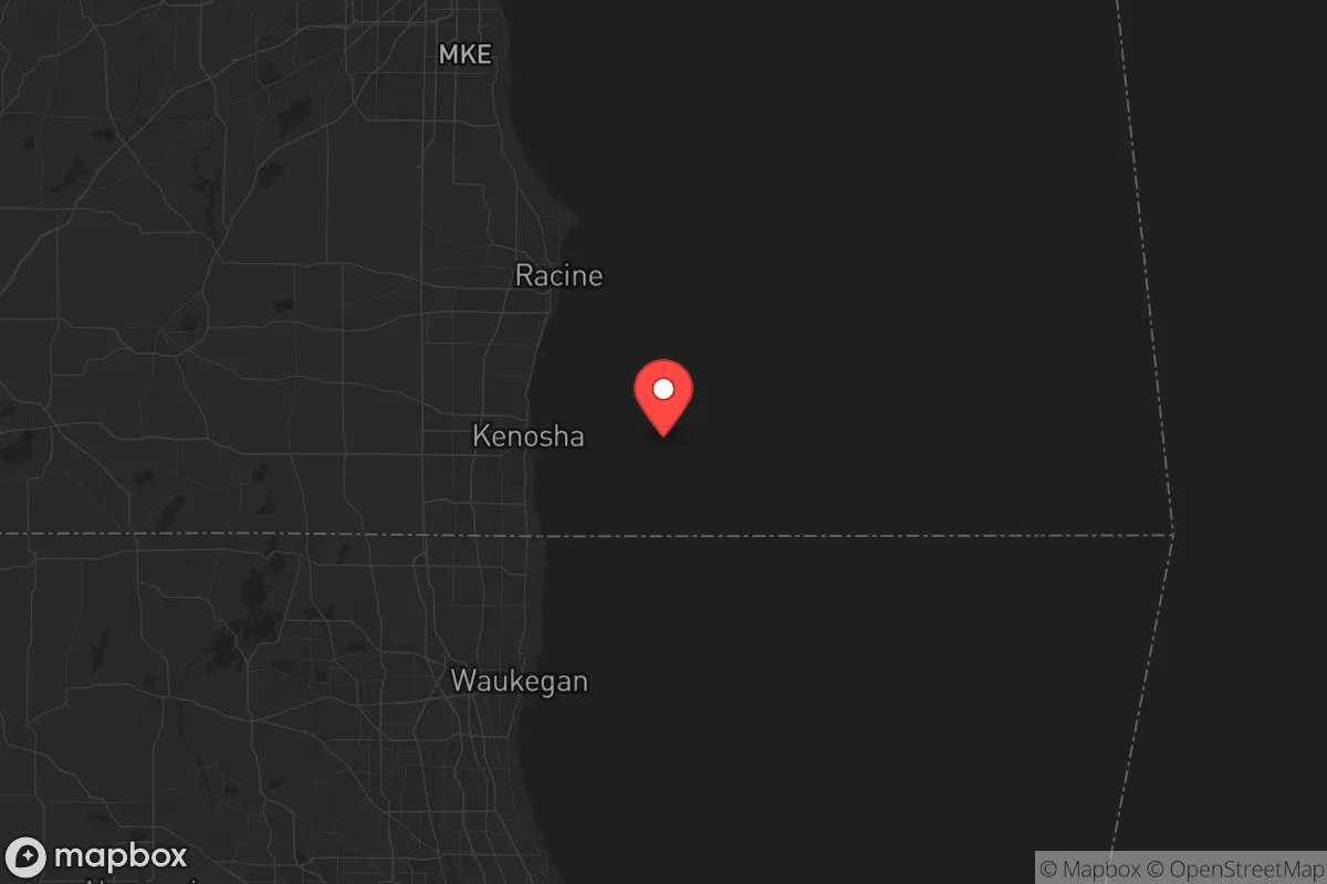
Kenosha County’s primary strategic asset is its position on Lake Michigan, which provides a virtually unlimited freshwater supply—a critical factor for any long-term resilience plan. The county sits roughly 40 miles south of Milwaukee and 60 miles north of Chicago, placing it within the economic orbit of both cities while maintaining a distinct, lower-density character. The landscape is a mix of rolling farmland in the western and central parts of the county, with the city of Kenosha and the lakeshore communities of Pleasant Prairie and Somers forming a more developed eastern strip. This diversity means that a relocator can choose between a semi-rural homestead in the western townships—like Brighton or Paris—or a more connected suburban base near the I-94 and I-41/43 interchange. The county’s agricultural land is productive, with a growing season long enough for substantial home gardening, and the soil quality in the western half is generally good for small-scale farming. The Kettle Moraine State Forest’s southern unit lies just to the west in Walworth County, offering additional natural buffer and recreational land. For a family seeking a base that balances access to urban jobs with a defensible, resource-rich environment, the western half of Kenosha County offers a compelling mix of space, water, and arable land.
Risk exposure: proximity to fallout-relevant landmarks and infrastructure
The same proximity that gives Kenosha County its economic advantages also creates its most significant risk profile. The county lies directly in the shadow of two major metropolitan areas that are potential targets in a conflict scenario. The city of Kenosha itself is home to the Kenosha Harbor, a deep-water port on Lake Michigan that handles bulk cargo and is adjacent to the Kenosha Diesel Plant (Cummins Inc.), a major industrial facility. Just south of the county line in Illinois is the Zion Nuclear Power Station (now decommissioned but still containing spent fuel on-site), and the Waukegan Harbor and industrial area are only 15 miles away. To the north, the Milwaukee Harbor and its associated industrial complexes are within 40 miles. The I-94 corridor itself is a critical logistics artery, and the county is crisscrossed by rail lines carrying freight, including hazardous materials. For a relocator concerned with fallout and man-made disasters, the eastern half of the county—particularly within 10 miles of the lake and the interstate—is in a higher-risk zone due to its proximity to these targets and transportation routes. The western townships, while farther from immediate blast zones, are still within the fallout plume radius of a major strike on Chicago or Milwaukee, depending on wind patterns. The county’s location in the prevailing westerly wind belt means that fallout from a Chicago event would likely be carried east over Lake Michigan, but a Milwaukee event could push contamination south and west into Kenosha County. This is not an alarmist assessment—it is a factual one that any serious relocation planner must weigh.
Practical resilience for a relocator: food, water, energy, and defensibility
For a family or individual serious about self-sufficiency, Kenosha County offers a mixed but workable foundation. Water is the strongest asset: Lake Michigan provides an inexhaustible supply for those with the means to draw and treat it, and the county’s groundwater is generally good in the western agricultural areas, though well depths can be 100-300 feet. Municipal water in the city of Kenosha and Pleasant Prairie is treated and reliable, but grid-dependent. Food production is viable in the western half of the county, where zoning is generally permissive for small-scale agriculture, livestock, and gardening. The Kenosha County Center in Bristol offers extension resources for home food production, and the local farmers’ market culture is strong. However, the county’s agricultural land is under development pressure, and prime farmland near the interstate is being converted to warehouses and subdivisions. Energy resilience is a weak point. The county is heavily dependent on the regional grid, with no major local power generation beyond the decommissioned Zion plant. Solar potential is moderate—Wisconsin averages about 4 peak sun hours per day—but net metering policies are less favorable than in sunnier states. Wood heating is feasible in the western townships, where forested lots are available. Defensibility is highly location-dependent. The eastern, more densely populated areas are not defensible in any meaningful sense—they are suburban sprawl with multiple access points. The western townships, with their rural road networks, longer sightlines, and lower population density, offer better options for a family seeking a secure homestead. The county’s law enforcement presence is concentrated in the city of Kenosha and the village of Pleasant Prairie, with the Kenosha County Sheriff’s Department covering the rural areas. For a relocator, the practical takeaway is this: choose a property west of Highway 45, with a well, good southern exposure for solar, and at least 5-10 acres for food production. That combination gives you the best chance of riding out a disruption.
The overall strategic picture for Kenosha County is one of calculated trade-offs. It is not a remote survivalist retreat—it is a working county with real exposure to the risks of its location. But for a family that wants to stay within driving distance of Chicago or Milwaukee for work and family, while building a resilient property on good land with abundant water, it is one of the better options in the Upper Midwest. The key is to avoid the eastern, more developed corridor and focus on the western townships—Brighton, Paris, Wheatland, and Randall—where the combination of Lake Michigan access, agricultural zoning, and lower population density creates a defensible niche. The county’s political climate is slightly conservative-leaning overall, with the rural areas voting reliably Republican and the city of Kenosha more Democratic, which may align with the preferences of a conservative-leaning audience. The presence of the Kenosha Regional Airport and the Union Pacific rail line adds logistical connectivity but also risk. In short: Kenosha County works as a resilience base if you pick your spot carefully, invest in off-grid infrastructure, and accept that you are living in the shadow of major cities—not apart from them.

* Values derived from national, state, county, city and local statistics and may differ in a specific area. Last updated: 2026-07-17T01:10:50.000Z
Narrative content on this page is AI-generated and may contain mistakes. Verify any details that matter before acting on them.
ReloMaps may earn a commission from affiliate links at no extra cost to you.

