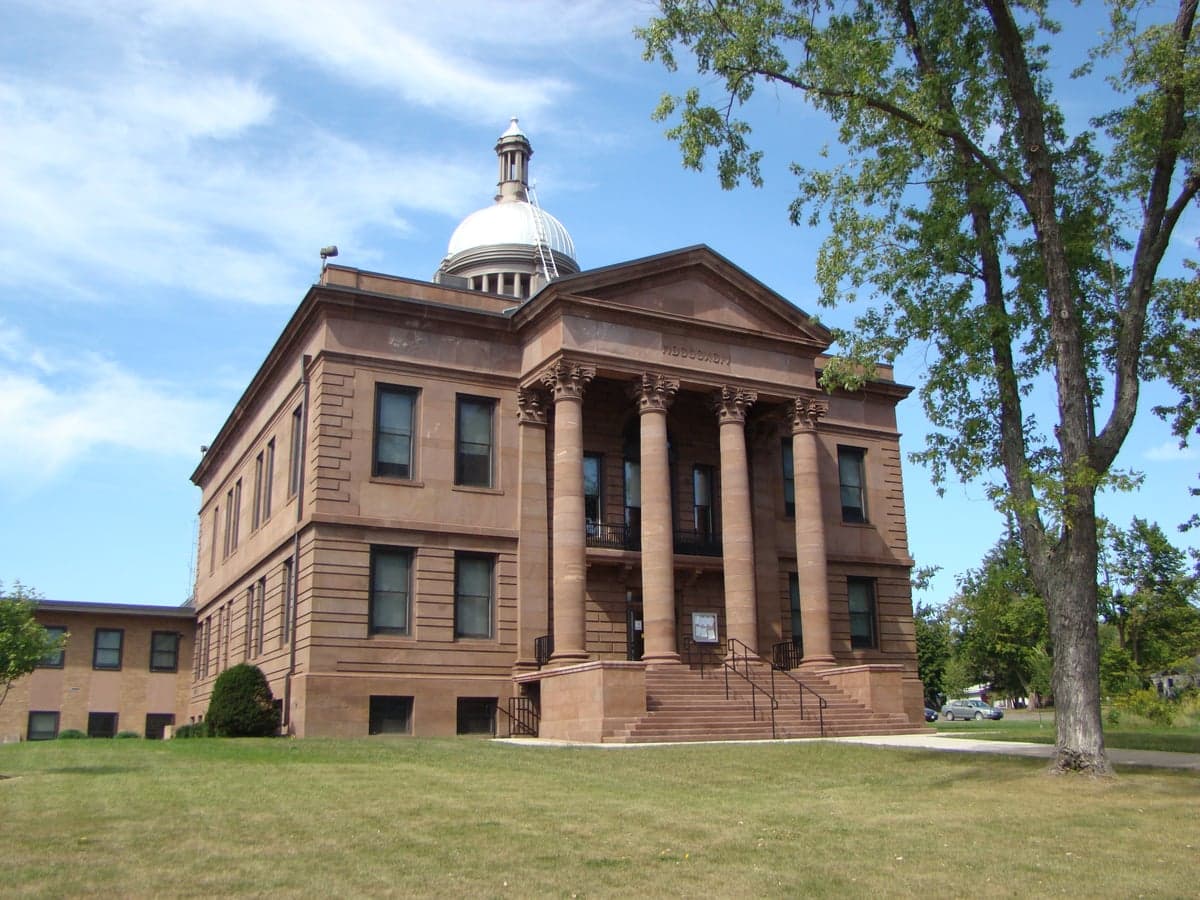
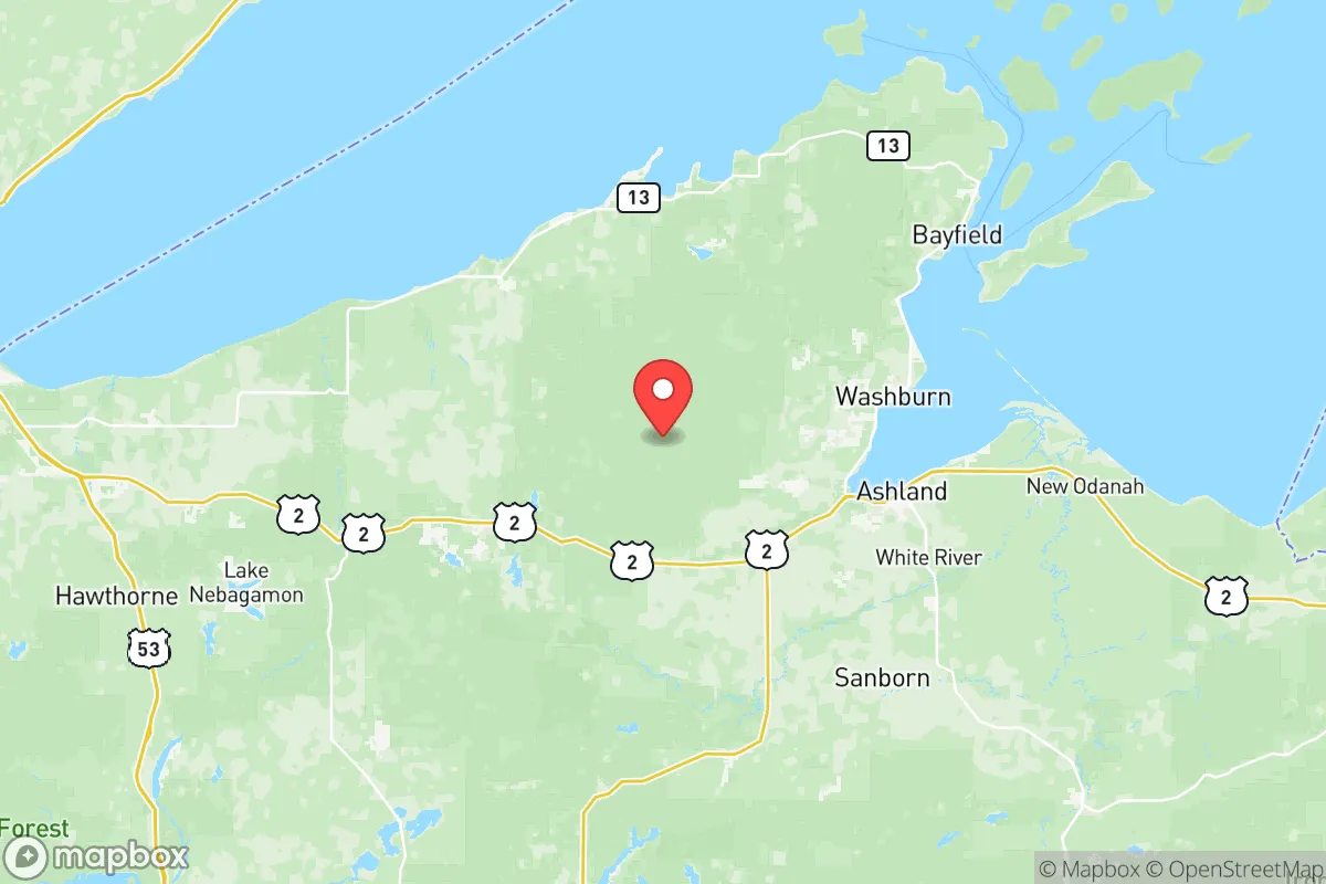
Photo: Wikipedia
Quality of Life in Bayfield County
A livable area that tracks near national norms for affordability, walkability, and neighborhood health.
What does Quality of Life tell us?
Quality of Life measures an area by evaluating factors like cost of living, nearby amenities, country club access, airport proximity, socioeconomic signals and neighborhood character. For large states, this is a general average — quality of life can vary dramatically between metro areas, suburbs, and rural communities within the same state.
What does this tell us?
Quality of Life measures an area by evaluating factors like cost of living, nearby amenities, country club access, airport proximity, socioeconomic signals and neighborhood character. For large states, this is a general average — quality of life can vary dramatically between metro areas, suburbs, and rural communities within the same state.
Cost of Living
27% below national average
107%
The Real Cost of Living in Bayfield County for 2026
| Tier | Individual | Family (4) |
|---|---|---|
| Survival | $13k | $24k |
| Comfortable | $44k | $65k |
| Luxury | $115k+ | $178k+ |
| Elite (Top 5%) | $135k+ | $210k+ |
Quality-of-Life Analysis
Bayfield County, Wisconsin, offers a spectrum of quality-of-life options ranging from the small-city amenities of its county seat to the remote, lakefront solitude of its unincorporated communities, drawing everyone from remote workers and retirees to outdoor recreationists and seasonal residents. With a cost of living index of 73 (well below the U.S. average of 100), a median home value of $228,100, and a median rent of just $789, the county provides significant financial breathing room compared to urban or coastal markets. The average commute of roughly 23 minutes reflects the region's compact geography, where most daily needs are met within a short drive, though the character of that drive—and the lifestyle it supports—varies dramatically between the county's population centers and its more isolated pockets.
Largest town(s) & population centers
The county's primary hub is Washburn, the county seat, which sits on the shores of Chequamegon Bay and offers the most concentrated mix of services, including a hospital, grocery stores, restaurants, and government offices. Daily life here is walkable in the compact downtown, with a public library, marina, and the Bayfield County Courthouse anchoring the community. Bayfield, though smaller in year-round population, functions as the region's tourism and cultural center, drawing visitors to the Apostle Islands National Lakeshore and offering a vibrant main street with galleries, breweries, and seasonal events. Both towns provide reliable high-speed internet, making them viable for remote workers, and their schools—Washburn School District and Bayfield School District—serve as community anchors. Iron River, located inland along Highway 2, serves as a commercial crossroads with a grocery store, hardware store, and several auto repair shops, catering to residents in the county's central and eastern reaches. These three towns collectively house the majority of the county's population and offer the most predictable access to healthcare, dining, and retail.
Smaller towns & rural pockets
Beyond the main hubs, Bayfield County is dotted with smaller communities that offer a quieter, more land-based lifestyle. Cornucopia, on the Lake Superior shoreline, is a tiny unincorporated community known for its marina, the Cornucopia General Store, and access to the Apostle Islands kayaking routes—it feels like a seasonal escape even for year-round residents. Herbster, further east along the lake, is even more sparsely populated, with a handful of homes, a public beach, and the Herbster Community Center serving as the social hub. Inland, Mason and Grand View are unincorporated hamlets surrounded by national forest land, where residents often live on acreage and rely on Washburn or Iron River for most errands. Clam Lake, near the county's southern edge, is a gateway to the Chequamegon-Nicolet National Forest and offers a general store, a bar, and the Clam Lake Community Center—it's a true off-grid option for those seeking deep quiet and minimal services. These areas typically lack municipal water and sewer, relying on wells and septic systems, and internet access can be spotty or limited to satellite.
Cost & lifestyle range
The cost spread across Bayfield County is narrower than in many metro areas, but the trade-offs are real. At the higher end, Bayfield and Washburn command median home values near the county's $228,100 average, with lakefront properties in Bayfield often exceeding $400,000. Rent in these towns hovers around the county median of $789, but availability is tight, especially for long-term leases. At the lower end, Iron River and Mason offer homes in the $150,000–$200,000 range, with some fixer-uppers below $100,000. Rural properties on acreage in Clam Lake or Herbster can be found for under $150,000, but buyers must factor in well maintenance, septic replacement, and often higher heating costs for off-grid homes. The lifestyle range is equally broad: Bayfield residents walk to restaurants and the ferry dock, while Clam Lake residents drive 30 minutes to the nearest grocery store. The county's low cost of living index of 73 means even modest incomes can afford a home, but the trade-off is access—those in the rural pockets accept longer drives for healthcare, schools, and employment.
This county is best suited for people who value space, nature, and a slower pace over urban convenience. Remote workers and retirees with reliable vehicles will find the most flexibility, able to choose between the walkable lakefront towns and the deep-forest solitude of the interior. Families should weigh school options carefully—Bayfield and Washburn offer strong K-12 programs, while rural areas feed into smaller, more remote districts. Seasonal residents and second-home owners gravitate to the lakefront communities, while year-round homesteaders and outdoor professionals thrive in the national forest buffer zones. Bayfield County rewards self-sufficiency and a tolerance for winter, but its low costs and stunning natural setting make it one of Wisconsin's most compelling options for those seeking an affordable, nature-centered life.

Crime in Bayfield County
Generally safer than 61% of comparable U.S. locations.
Violent CrimeViolent Crime Analysis
Property CrimeProperty Crime Analysis
Crime Analysis
Bayfield County, Wisconsin, presents a mixed safety picture for potential residents. With a violent crime rate of 237.4 per 100,000 residents and a property crime rate of 1,002.8 per 100,000, the county sits above the national average for violent offenses but below the national average for property crime. These figures, however, mask significant variation between the county's small towns and unincorporated areas, making location-specific research essential for anyone considering a move to this scenic Lake Superior region.
Crime in context
Bayfield County's violent crime rate is roughly 30% higher than the national average of about 180 per 100,000, while its property crime rate falls approximately 15% below the national average of 1,180 per 100,000. Compared to Wisconsin's statewide violent crime rate of roughly 250 per 100,000, Bayfield County is slightly below the state average. However, these aggregate numbers can be misleading. The county's largest population center, Washburn, and the tourist hub of Bayfield (the city) tend to report higher incident counts due to seasonal population surges and transient visitors. In contrast, smaller communities like Iron River and Mason typically see far fewer incidents, though their small populations mean even a single crime can skew per-capita rates dramatically. The county's rural character means that many crimes go unreported or are handled informally, which can depress official statistics.
What residents experience
Daily life in Bayfield County is generally quiet, but residents do face specific safety concerns. Property crime, particularly theft from vehicles and seasonal cabin burglaries, is the most common issue, especially in areas frequented by tourists like the Apostle Islands National Lakeshore access points and the Bayfield city waterfront. Violent crime is less frequent but includes domestic violence incidents and alcohol-fueled altercations, particularly in bars and during festivals. The county's judicial system, overseen by the Bayfield County District Attorney's Office in Washburn, operates under Wisconsin's relatively conservative state sentencing guidelines, which provide a baseline for accountability. However, as with many rural counties, the progressive lean of the local judiciary in the region—reflecting broader trends in northern Wisconsin—can sometimes result in diversion programs or reduced charges for non-violent offenders, a factor that concerns residents who prioritize strict enforcement. The Bayfield County Sheriff's Office and local police departments in Washburn and Bayfield maintain a visible presence, but response times in remote areas can exceed 30 minutes.
Neighborhood-level variation
Safety varies considerably within Bayfield County. The city of Bayfield itself, while a popular tourist destination, sees higher rates of petty theft and disorderly conduct during the summer months, driven by seasonal crowds. Washburn, the county seat, has a more stable year-round population and generally lower crime rates, though its proximity to Highway 13 can attract transient property crime. Iron River and Drummond are among the safest areas, with very low reported violent crime and property crime rates that are a fraction of the county average. Unincorporated areas like Cornucopia and Herbster are extremely quiet but offer minimal police coverage, meaning residents rely heavily on neighbors and personal security measures. For those seeking the safest environments, the smaller inland towns and lakefront communities away from major tourist corridors provide the most peace of mind, while the tourist-heavy waterfront areas require more vigilance, particularly during peak season.
* Values derived from national, state, county, city and local statistics and may differ in a specific area. Last updated: 2026-10-23T18:03:06.000Z
Narrative content on this page is AI-generated and may contain mistakes. Verify any details that matter before acting on them.
ReloMaps may earn a commission from affiliate links at no extra cost to you.

