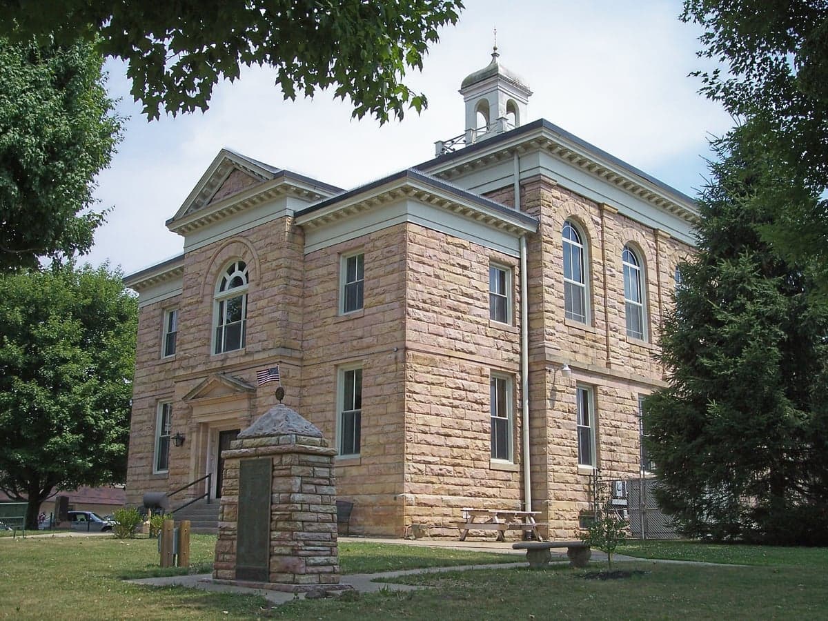
Photo: Wikipedia
Strategic Assessment of Nicholas County
Workable tactical position. Some exposure to population density or targets, but generally defensible in a crisis.
What does the Strategic Assessment tell us?
Our Strategic Assessment grades tactical survivability of an area. Major population centers, military targets, fallout zones, natural disasters, and border exposure all drive risk — lower exposure means a more defensible position in a crisis.
This is heavily inspired by Joel Skousen's Strategic Relocation book. Highly recommended you checkout the book ($)What does this tell us?
Our Strategic Assessment grades tactical survivability of an area. Major population centers, military targets, fallout zones, natural disasters, and border exposure all drive risk — lower exposure means a more defensible position in a crisis.
This is heavily inspired by Joel Skousen's Strategic Relocation book. Highly recommended you checkout the book ($)Strategic Pillars

Key Distances
Strategic Assessment Analysis
Nicholas County, West Virginia, offers a compelling strategic profile for relocators prioritizing disaster resilience and self-sufficiency, combining rugged Appalachian geography with a position outside the direct blast and fallout zones of major metropolitan targets. Its county seat, Summersville, and the surrounding communities of Richwood, Craigsville, and Birch River sit within a landscape defined by steep ridges, deep river valleys, and the Monongahela National Forest, providing natural buffers against both man-made and natural disruptions. While no location is risk-free, Nicholas County’s relative isolation from high-value strategic targets, coupled with its abundant natural resources, makes it a serious contender for those evaluating long-term preparedness and security.
Geographic position and natural advantages for disaster preparedness
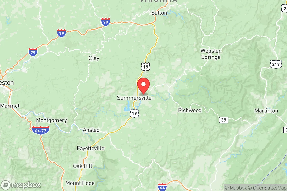
Nicholas County’s primary strategic asset is its location within the Allegheny Plateau, a region characterized by complex topography that naturally limits large-scale population movement and provides numerous defensible positions. Summersville, the county’s largest town with roughly 3,500 residents, sits at an elevation of around 1,900 feet, offering cooler summers and reduced wildfire risk compared to lower-elevation areas. The county is bisected by the Gauley River and its major tributaries, including the Cherry River and Meadow River, which feed into the massive Summersville Lake — the largest lake in West Virginia at over 2,700 surface acres. This water resource, managed by the U.S. Army Corps of Engineers, provides a reliable freshwater supply and hydroelectric potential. The surrounding Monongahela National Forest, which covers significant portions of eastern Nicholas County, offers additional buffer space, game habitat, and timber resources. Critically, the county lies roughly 80 miles southeast of Charleston and over 150 miles from major population centers like Pittsburgh and Washington, D.C., placing it well outside the likely blast radius of any nuclear or conventional strike on those cities. The winding, two-lane roads — particularly U.S. Route 19 and State Route 41 — create natural chokepoints that would slow any large-scale movement, a double-edged sword that aids defense but complicates evacuation.
Risks, exposures, and proximity to fallout-relevant landmarks
While Nicholas County avoids the highest-risk zones, it is not without exposure. The most significant man-made risk comes from the John E. Amos Power Plant, a large coal-fired facility located roughly 30 miles west in Putnam County, and the Mountaineer Power Plant near New Haven, about 40 miles west. Both are potential secondary targets in a conflict scenario, though prevailing westerly winds would carry fallout eastward, potentially affecting western Nicholas County. Closer to home, the county has a history of coal mining and natural gas extraction, with numerous abandoned mine shafts and wellheads scattered across the landscape. While these pose localized contamination risks, they are not strategic targets. The area’s primary natural hazard is flooding, particularly in the narrow valleys along the Gauley and Cherry Rivers. Summersville experienced significant flooding in 2016 and 2021, with water levels rising rapidly in low-lying areas near the river. The Summersville Dam provides some flood control, but heavy rainfall events can overwhelm local drainage. Landslides are a secondary concern on steep slopes, especially after heavy rain or seismic activity, though the region is seismically quiet. The county’s distance from major military installations — Fort Liberty (formerly Bragg) is over 300 miles away, and the nearest National Guard armory is in Beckley, 30 miles south — reduces the likelihood of direct targeting but also means limited nearby military support in a crisis.
Practical resilience for a relocator: food, water, energy, and defensibility
For a relocator focused on self-sufficiency, Nicholas County offers strong fundamentals. Water access is excellent: Summersville Lake alone holds over 28 billion gallons of water, and the Gauley River system provides year-round flow. Many rural properties have private wells, though testing for mineral content and potential acid mine drainage is advisable. Food production potential is moderate: the growing season runs roughly 140-160 days, suitable for cool-weather crops like potatoes, cabbage, and root vegetables, but the rocky, acidic soil requires amendment for larger yields. Local agriculture is limited — the county has fewer than 200 farms — so establishing a garden or greenhouse is essential for long-term food security. Deer and turkey are abundant in the national forest, providing hunting opportunities. Energy resilience is a mixed picture: grid power is provided by Appalachian Power, with frequent outages during winter storms. However, the steep terrain and forested ridges make solar panel placement challenging but feasible on south-facing slopes. Wood heating is the dominant backup, with ample firewood available on private and public land. Propane delivery is common in rural areas. Defensibility is high: the county’s low population density (roughly 26 people per square mile) and limited road network make it difficult for large groups to traverse. The terrain offers natural cover and observation points, and many properties sit at the end of dead-end hollows, providing inherent security. The local sheriff’s office is small — roughly 20 deputies for the entire county — so community-based security networks are more realistic than relying on law enforcement.
The overall strategic picture for Nicholas County is one of moderate-to-high resilience with clear trade-offs. Its greatest strengths are abundant water, defensible terrain, and distance from high-value targets, making it a strong choice for those prioritizing long-term survival over immediate convenience. The weaknesses — limited local food production, flood risk in valley bottoms, and dependence on external fuel and power — are manageable with proper planning and investment. For a relocator willing to develop land, store supplies, and build community ties, Nicholas County offers a realistic foundation for a prepared lifestyle. The key is to choose property wisely: avoid floodplains, secure a reliable water source, and establish relationships with neighbors before a crisis arrives. In a world of increasing uncertainty, this corner of West Virginia provides a quiet, defensible, and resource-rich option worth serious consideration.

* Values derived from national, state, county, city and local statistics and may differ in a specific area. Last updated: 2026-07-03T04:54:02.000Z
Narrative content on this page is AI-generated and may contain mistakes. Verify any details that matter before acting on them.
ReloMaps may earn a commission from affiliate links at no extra cost to you.

