Photo: Wikipedia
Strategic Assessment of Monongalia County
Meaningful friction. Expect exposure to either population pressure, blast zones, or natural disaster risk. Consider buying a retreat property.
What does the Strategic Assessment tell us?
Our Strategic Assessment grades tactical survivability of an area. Major population centers, military targets, fallout zones, natural disasters, and border exposure all drive risk — lower exposure means a more defensible position in a crisis.
This is heavily inspired by Joel Skousen's Strategic Relocation book. Highly recommended you checkout the book ($)What does this tell us?
Our Strategic Assessment grades tactical survivability of an area. Major population centers, military targets, fallout zones, natural disasters, and border exposure all drive risk — lower exposure means a more defensible position in a crisis.
This is heavily inspired by Joel Skousen's Strategic Relocation book. Highly recommended you checkout the book ($)Strategic Pillars

Key Distances
Strategic Assessment Analysis
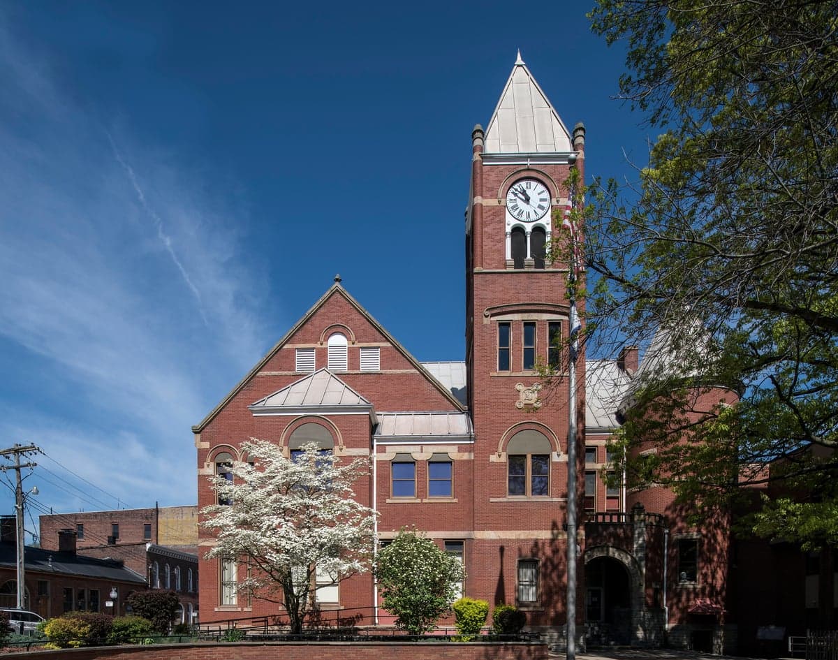
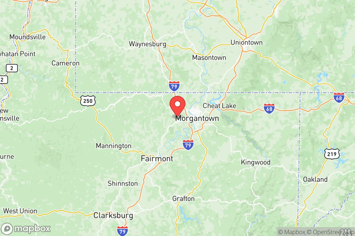
Monongalia County, West Virginia, occupies a strategic position in the Mid-Atlantic that offers a compelling mix of geographic insulation and practical resilience for relocators prioritizing disaster readiness and self-sufficiency. Anchored by Morgantown and the West Virginia University community, the county sits in the rolling foothills of the Allegheny Mountains, roughly 75 miles south of Pittsburgh and 200 miles west of Washington, D.C. This distance from major metropolitan centers provides a meaningful buffer against the cascading effects of urban infrastructure collapse, civil unrest, or targeted attacks on high-value national targets, while still keeping essential supply chains and medical resources within a few hours' drive. The area's rugged terrain, abundant natural resources, and relatively low population density outside the Morgantown metro core make it a serious option for those weighing long-term security alongside quality of life.
Geographic position and natural advantages for long-term security
Monongalia County's location in the Appalachian Plateau gives it several inherent defensive and resource-based advantages. The county is defined by steep ridges, narrow valleys, and the Monongahela River, which cuts through the center of the region from north to south. This topography naturally limits large-scale movement and provides numerous defensible positions for those living in more rural areas like Westover, Star City, or the outlying communities around Granville and Cheat Lake. The elevation ranges from roughly 800 feet along the river to over 2,000 feet on the higher ridgelines, offering good vantage points and reducing the risk of flooding for properties situated above the valley floor. The county's forest cover exceeds 70 percent, which provides both concealment and a sustainable source of timber for fuel and construction. Water availability is a major asset: the Monongahela River is a perennial, high-volume waterway, and numerous smaller streams and creeks drain the hillsides. Groundwater is generally accessible via wells in most areas outside the immediate floodplain, and the region's annual rainfall of roughly 40-45 inches ensures consistent surface water recharge. For a relocator thinking about long-term self-sufficiency, the combination of defensible terrain, abundant water, and forest resources places Monongalia County well above the national average for natural resilience.
Risks, exposures, and proximity to fallout-relevant landmarks
No strategic assessment is complete without a clear-eyed look at the risks. Monongalia County's primary man-made exposure comes from its proximity to the Morgantown Industrial Park and the nearby natural gas infrastructure, including compressor stations and pipeline corridors that serve the Marcellus Shale fields. While not a high-value target on the scale of a refinery or military base, any major disruption to the gas network could affect local heating and power generation. The county is roughly 75 miles from Pittsburgh's industrial and nuclear assets, including the Beaver Valley Nuclear Power Station, which places it outside the most severe fallout zones but within a plausible downwind risk corridor depending on weather patterns. More immediately, the Fort Martin Power Station, a coal-fired plant on the Monongahela River just south of Morgantown, is a local landmark that could become a secondary target or point of failure during a grid-down scenario. Natural hazards are moderate: the county experiences occasional flash flooding in low-lying areas near the river and smaller creeks, and winter storms can drop significant snow and ice, occasionally isolating rural ridgetop communities for a day or two. Tornado risk is low compared to the Plains, and seismic activity is negligible. The most realistic day-to-day risk for a relocator is the potential for extended power outages during severe winter weather, which underscores the importance of backup heating and generator capacity.
Practical resilience for a relocator: food, water, energy, and defensibility
For someone serious about self-sufficiency, Monongalia County offers a mixed but generally favorable picture. Food production is feasible but not effortless: the growing season runs roughly from mid-April to mid-October, with fertile bottomland soils along the river and smaller valleys suitable for vegetable gardens and small-scale row crops. The hilly terrain limits large-scale agriculture, but pastureland is common, and there is a strong local tradition of small livestock operations, including poultry, goats, and beef cattle. The Morgantown Farmers Market and local CSAs provide a network for sourcing seeds, starter plants, and knowledge, and the presence of WVU's agricultural extension office offers a practical resource for new growers. Water security is a standout advantage: the county's groundwater is generally good quality, and surface water is plentiful. A well-equipped property with a hand pump or solar-powered pump can maintain independent water supply indefinitely. Rainwater catchment is also viable given the reliable precipitation. Energy resilience is more challenging. The local grid is served by FirstEnergy, and outages are not uncommon during storms. Natural gas is widely available in the Morgantown area and many suburban communities, but rural properties often rely on propane or heating oil. Solar potential is moderate—the region gets about 200 sunny days per year, below the national average, but modern panels still produce meaningful power even under partial cloud cover. Wood heat is a practical and culturally normal option, with ample local supply. Defensibility varies by location: properties on dead-end hollow roads or ridgetops with limited access points offer natural security, while those in the Morgantown metro area or along major corridors like I-79 and US-119 are more exposed to population movement and potential unrest. The county's gun culture is strong, and legal firearm ownership is straightforward, which aligns with the self-reliance mindset of many relocators.
The overall strategic picture for Monongalia County is one of balanced opportunity with clear trade-offs. It offers genuine geographic insulation from the highest-risk national targets, abundant natural resources, and a community that still values practical skills and neighborly mutual aid. The presence of West Virginia University provides a stabilizing economic anchor and access to medical infrastructure, including WVU Medicine's Ruby Memorial Hospital, a Level 1 trauma center that would be a significant asset during any regional emergency. The downsides are real but manageable: moderate winter weather risks, some exposure to regional energy infrastructure, and the need to carefully select a property that maximizes defensibility and resource access. For a relocator who values preparedness without wanting to live in complete isolation, Monongalia County represents a strong middle ground—close enough to civilization to maintain a normal life, far enough to matter when things go wrong.

* Values derived from national, state, county, city and local statistics and may differ in a specific area. Last updated: 2026-07-02T21:07:50.000Z
Narrative content on this page is AI-generated and may contain mistakes. Verify any details that matter before acting on them.
ReloMaps may earn a commission from affiliate links at no extra cost to you.

