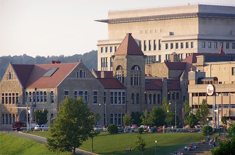
Photo: Wikipedia
Strategic Assessment of Kanawha County
Meaningful friction. Expect exposure to either population pressure, blast zones, or natural disaster risk. Consider buying a retreat property.
What does the Strategic Assessment tell us?
Our Strategic Assessment grades tactical survivability of an area. Major population centers, military targets, fallout zones, natural disasters, and border exposure all drive risk — lower exposure means a more defensible position in a crisis.
This is heavily inspired by Joel Skousen's Strategic Relocation book. Highly recommended you checkout the book ($)What does this tell us?
Our Strategic Assessment grades tactical survivability of an area. Major population centers, military targets, fallout zones, natural disasters, and border exposure all drive risk — lower exposure means a more defensible position in a crisis.
This is heavily inspired by Joel Skousen's Strategic Relocation book. Highly recommended you checkout the book ($)Strategic Pillars

Key Distances
Strategic Assessment Analysis
Kanawha County, West Virginia, offers a mixed strategic picture for relocators focused on resilience and self-sufficiency. Its position in the Appalachian foothills provides genuine geographic advantages—rugged terrain, abundant freshwater, and distance from major coastal population centers—but these are counterbalanced by the county's role as a concentrated industrial and chemical hub. For a conservative-leaning individual or family weighing disaster readiness, Kanawha County presents a trade-off: natural defensibility and resource wealth against the very real risks of being downwind of critical infrastructure that could become a liability in a crisis.
Geographic position and natural advantages for self-sufficiency
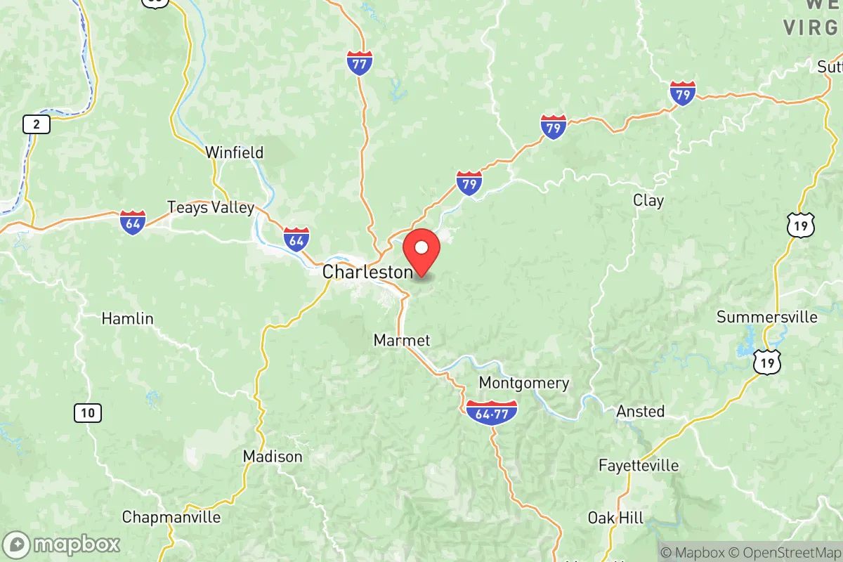
Kanawha County sits at the confluence of the Kanawha and Elk Rivers, roughly 150 miles southwest of Pittsburgh and 200 miles east of Cincinnati. This inland location places it well outside the blast and fallout zones of any major strategic target on the East Coast, such as Washington D.C. or Norfolk. The surrounding terrain is steep, forested, and dissected by narrow valleys—features that naturally limit large-scale movement and provide significant defensibility for a prepared household. The county's elevation averages around 600 to 1,000 feet, with ridges rising higher, offering good line-of-sight and potential for off-grid communications. Water is abundant: the Kanawha River is a major tributary of the Ohio, and dozens of smaller creeks and springs drain the hillsides. Annual rainfall of roughly 45 inches supports reliable well water recharge and small-scale agriculture, though the growing season is short (about 150 days) and soils are acidic and rocky, requiring raised beds or significant amendment for serious food production. The county's position within the Appalachian mixed-mesophytic forest also provides ample timber for fuel, construction, and foraging, though wildlife populations (deer, turkey, small game) are moderate and pressured by hunting.
Risks, exposures, and proximity to fallout-relevant landmarks
The most significant vulnerability for a Kanawha County relocator is the concentration of chemical and industrial facilities along the Kanawha River valley, often called "Chemical Valley." The area around Institute and South Charleston hosts multiple plants, including a major Union Carbide facility and the site of the 2021 Freedom Industries chemical spill that contaminated the water supply for 300,000 residents. In a broader crisis—whether natural disaster, grid failure, or geopolitical event—these facilities represent a dual risk: accidental release and deliberate targeting. The county also contains the John E. Amos Power Plant near Winfield, one of the largest coal-fired power plants in the country, and the Yeager Airport in Charleston, which could become a secondary target or chokepoint. Additionally, the West Virginia State Capitol complex in Charleston is a symbolic target, though its strategic importance is low. Natural hazards include flooding along the Kanawha and Elk Rivers—major floods occurred in 2016 and 2022—and occasional landslides on steep slopes. The county is in a low-seismicity zone, with no significant earthquake risk. Tornadoes are rare but possible; the area is on the western fringe of traditional Tornado Alley. For a relocator, the key takeaway is that while Kanawha County is not a primary nuclear target, its industrial density makes it a high-risk area for secondary effects like toxic plumes, water contamination, and infrastructure failure.
Practical resilience for a relocator: food, water, energy, and defensibility
For a household focused on self-sufficiency, Kanawha County offers strong fundamentals with notable caveats. Water is the county's strongest asset: the Kanawha River is a reliable surface water source, and groundwater is generally accessible via drilled wells at depths of 100-300 feet, though yields vary by valley. However, the 2014 chemical spill demonstrated that municipal water systems can be compromised for weeks; a relocator should plan for independent filtration and storage. Food production is possible but labor-intensive: the short growing season and poor soils limit staple crops like corn and wheat, but cool-weather vegetables (potatoes, cabbage, greens) and fruit trees (apples, pears) do well. Livestock—particularly goats, chickens, and pigs—are common in the outlying areas, and the county has a strong hunting culture. For energy, the county's coal history means natural gas and electricity are relatively cheap and reliable, but grid dependence is a vulnerability. Solar potential is moderate (roughly 4.0 peak sun hours per day), and micro-hydro is feasible on perennial streams with sufficient drop. Wood heating is the most practical backup, given the forest cover. Defensibility is mixed: the rugged terrain and limited road network (primarily I-64, I-77, and US-60) make large-scale movement difficult, which is an advantage. However, the narrow valleys create natural chokepoints that could be controlled by either defenders or adversaries. The county's population density is about 200 people per square mile in the Charleston metro, dropping to under 50 in the rural eastern and western portions. Remote areas near Clendenin, Elkview, or Cedar Grove offer better defensibility than the river corridor. The local culture is heavily armed and self-reliant, with a strong tradition of mutual aid among rural households—a significant social resilience factor that a relocator should cultivate through genuine community integration.
Overall, Kanawha County is a viable but not ideal relocation destination for a disaster-preparedness-focused household. Its natural advantages—abundant water, defensible terrain, inland location—are real and valuable. But the industrial concentration in the river valley introduces a level of man-made risk that is higher than in more remote Appalachian counties like Pocahontas or Randolph. A relocator's best strategy would be to settle in the northern or eastern hill sections of the county, well away from the Chemical Valley corridor, and to invest heavily in independent water filtration, food storage, and off-grid energy. The county's strong community networks and hunting culture are genuine assets, but they require time and effort to access. For a single individual or family willing to trade some convenience for resilience, Kanawha County offers a solid foundation—provided the risks are understood and mitigated.

* Values derived from national, state, county, city and local statistics and may differ in a specific area. Last updated: 2026-07-02T21:58:06.000Z
Narrative content on this page is AI-generated and may contain mistakes. Verify any details that matter before acting on them.
ReloMaps may earn a commission from affiliate links at no extra cost to you.

