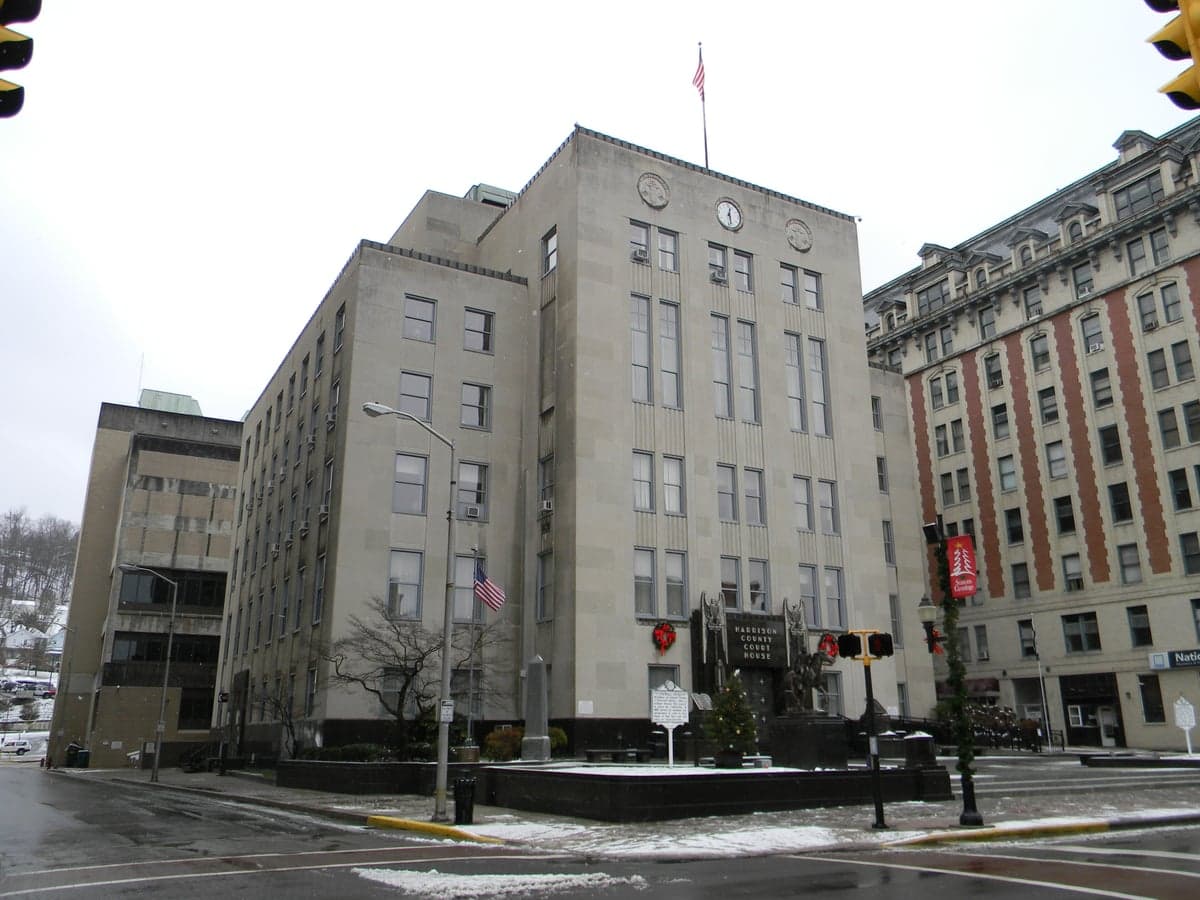
Photo: Wikipedia
Strategic Assessment of Harrison County
Workable tactical position. Some exposure to population density or targets, but generally defensible in a crisis.
What does the Strategic Assessment tell us?
Our Strategic Assessment grades tactical survivability of an area. Major population centers, military targets, fallout zones, natural disasters, and border exposure all drive risk — lower exposure means a more defensible position in a crisis.
This is heavily inspired by Joel Skousen's Strategic Relocation book. Highly recommended you checkout the book ($)What does this tell us?
Our Strategic Assessment grades tactical survivability of an area. Major population centers, military targets, fallout zones, natural disasters, and border exposure all drive risk — lower exposure means a more defensible position in a crisis.
This is heavily inspired by Joel Skousen's Strategic Relocation book. Highly recommended you checkout the book ($)Strategic Pillars

Key Distances
Strategic Assessment Analysis
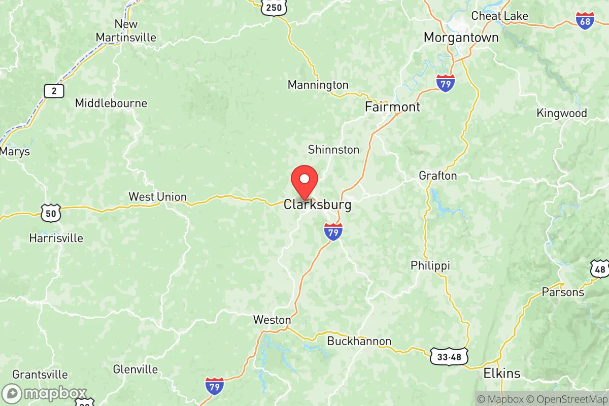
Harrison County, West Virginia, offers a compelling mix of geographic isolation and practical connectivity that appeals to relocation-minded individuals and families prioritizing resilience and self-sufficiency. Anchored by the city of Clarksburg, the county sits in the north-central part of the state, roughly 90 miles south of Pittsburgh and 130 miles northeast of Charleston, placing it outside the immediate blast and fallout zones of major metropolitan targets while still providing access to urban supply chains and medical infrastructure. The area’s historical role as a transportation hub—intersected by I-79, US-50, and US-19—means it is well-served for evacuation or supply movement, yet its rolling hills and forested terrain offer natural buffers that many flatter, more exposed regions lack.
Geographic position and natural advantages for long-term stability
Harrison County sits within the Appalachian Plateau, a region characterized by steep ridges, narrow valleys, and dense hardwood forests. This topography provides inherent defensibility: the hills create natural chokepoints and observation points, while the forest cover offers concealment and a source of timber for construction or fuel. The county’s elevation averages around 1,000 feet, which moderates temperatures and reduces the risk of extreme weather events like tornadoes or hurricanes that plague coastal and plains states. The West Fork River, which flows through Clarksburg and joins the Monongahela River system, provides a reliable surface water source, and the underlying geology includes the Pottsville Group sandstone aquifer, which yields decent groundwater for private wells in many rural areas. For a relocator, this means the land itself supports a lower-tech, more self-sufficient lifestyle than the suburban sprawl of the I-95 corridor or the Texas Gulf Coast. The county’s agricultural history is modest but present—small farms and orchards dot the landscape, and the local soil, while rocky in places, can support gardens and livestock with proper management.
Risks, exposures, and proximity to fallout-relevant landmarks
While Harrison County avoids the worst of man-made risks, it is not without exposure. The most significant nearby target is the Clarksburg FBI Criminal Justice Information Services (CJIS) Division, a major federal facility that processes background checks and intelligence data. This site, located just off I-79, is a plausible high-value target for a sophisticated adversary, though its rural setting and hardened construction reduce the likelihood of a catastrophic conventional strike. More concerning for fallout purposes is the Longview Power Plant in nearby Maidsville (Monongalia County), a coal-fired facility that could be a secondary target or a source of hazardous material release in a crisis. The county also sits within 100 miles of the Pittsburgh metropolitan area, which includes multiple industrial sites, refineries, and the Pittsburgh International Airport—a potential military target. Prevailing winds in the region are from the west-southwest, meaning fallout from a strike on Pittsburgh would likely drift east-northeast, away from Harrison County, but a strike on the Morgantown area (home to West Virginia University and the FBI’s CJIS backup site) could pose a more direct threat. Natural risks are low: the county experiences occasional flash flooding in low-lying areas near the West Fork River, and minor seismic activity from the region’s historical mining operations, but no hurricanes, wildfires, or significant earthquake hazards. The primary risk for a relocator is economic rather than physical—the county’s reliance on energy and healthcare sectors means a prolonged national crisis could strain local employment and services.
Practical resilience for a relocator: food, water, energy, and defensibility
For someone serious about self-sufficiency, Harrison County offers a strong baseline. Water availability is a standout advantage: the West Fork River and its tributaries provide year-round surface water, and the county’s average annual rainfall of 45 inches supports rain catchment systems. Private well drilling is common in rural areas, with typical depths of 100-300 feet yielding adequate flow for a household. The county’s energy profile is robust—it sits in the heart of the Marcellus Shale natural gas play, and the Hope Gas network serves much of the area, but a relocator can also tap into local coal or wood for heating. The Harrison Power Station (a coal plant near Haywood) provides grid electricity, but the terrain makes solar panel placement viable on south-facing slopes, and small-scale hydroelectric generation is possible on creeks with sufficient drop. Food resilience is moderate: the county has a growing network of farmers’ markets (Clarksburg’s is active May-October), and the West Virginia University Extension Service offers workshops on gardening, canning, and livestock management. Local game includes deer, turkey, and small game, and the state’s liberal hunting regulations allow for year-round harvest in some areas. Defensibility is high: the hilly terrain and winding roads create natural barriers to large-scale movement, and the county’s low population density (roughly 68,000 residents across 416 square miles) means fewer people competing for resources in a crisis. However, the county’s lack of a major military base (the nearest is Camp Dawson in Preston County, about 30 miles east) means no immediate security umbrella, and the local law enforcement presence is thin in rural precincts. A relocator should plan for a well-stocked armory and a network of trusted neighbors, as the area’s culture of self-reliance is strong but informal.
The overall strategic picture for Harrison County is one of moderate-to-high resilience for a relocator who values isolation without complete disconnection. It avoids the worst fallout risks of the East Coast megacities and the industrial Gulf, while offering reliable water, energy, and defensible terrain. The presence of the FBI CJIS facility is a double-edged sword—it brings federal attention and potential targeting, but it also ensures a higher-than-average law enforcement and emergency response presence in the Clarksburg area. For a family or individual willing to invest in a well, solar panels, and a garden, the county provides a solid foundation for long-term stability. The trade-off is access: healthcare is concentrated in Clarksburg’s two hospitals (United Hospital Center and VA Medical Center), and specialized supplies may require a drive to Morgantown or Pittsburgh. But for someone prioritizing strategic depth over convenience, Harrison County ranks as a strong contender in the Appalachian region.

* Values derived from national, state, county, city and local statistics and may differ in a specific area. Last updated: 2026-08-04T02:30:23.000Z
Narrative content on this page is AI-generated and may contain mistakes. Verify any details that matter before acting on them.
ReloMaps may earn a commission from affiliate links at no extra cost to you.

