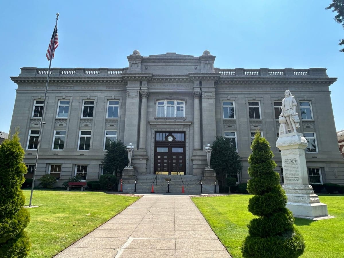
Photo: Wikipedia
Strategic Assessment of Walla Walla County
Strong survivability profile. Good buffer from population centers, with manageable environmental and tactical risks.
What does the Strategic Assessment tell us?
Our Strategic Assessment grades tactical survivability of an area. Major population centers, military targets, fallout zones, natural disasters, and border exposure all drive risk — lower exposure means a more defensible position in a crisis.
This is heavily inspired by Joel Skousen's Strategic Relocation book. Highly recommended you checkout the book ($)What does this tell us?
Our Strategic Assessment grades tactical survivability of an area. Major population centers, military targets, fallout zones, natural disasters, and border exposure all drive risk — lower exposure means a more defensible position in a crisis.
This is heavily inspired by Joel Skousen's Strategic Relocation book. Highly recommended you checkout the book ($)Strategic Pillars

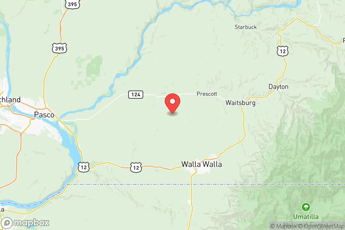
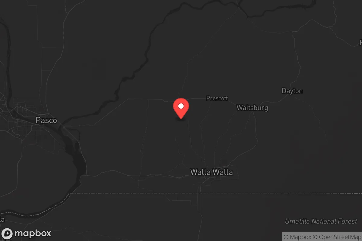
Key Distances
Strategic Assessment Analysis
Walla Walla County offers a compelling strategic profile for relocation-minded individuals and families who prioritize disaster readiness and self-sufficiency, combining genuine geographic insulation with practical, everyday resilience. Located in southeastern Washington, the county sits roughly 150 miles from the Portland metro area and 260 miles from Seattle, placing it well outside the immediate fallout zones and secondary disruption radii of those major urban centers. The county seat, Walla Walla, anchors a region that balances agricultural productivity with a low population density, creating a buffer that is increasingly rare in the Pacific Northwest.
Geographic position and natural advantages for long-term security
Walla Walla County's location in the rain shadow of the Cascade Range provides a distinct climatic advantage: the area receives roughly 15-20 inches of annual precipitation, significantly less than western Washington, which reduces risks associated with flooding, landslides, and prolonged power outages from winter storms. The county is bounded by the Blue Mountains to the south and east, offering natural terrain that limits easy access from those directions and provides defensible high ground. The Walla Walla River and its tributaries, including the Touchet River, run through the valley, supplying a reliable surface water source that is less contested than in arid regions further east. The county's position along the Oregon border places it near the Umatilla Chemical Depot (roughly 30 miles southwest), a former chemical weapons storage site that has been largely remediated but remains a point of consideration for those mapping regional hazards. The nearby McNary Dam on the Columbia River, about 20 miles northwest of Walla Walla, provides hydroelectric power and irrigation water, though it also represents a potential critical infrastructure target in a conflict scenario.
Risks, exposures, and proximity to fallout-relevant landmarks
While Walla Walla County avoids the direct fallout risks of major metropolitan areas, it is not without exposure to man-made and natural hazards. The Hanford Site, a decommissioned nuclear production complex, lies approximately 60 miles northwest near Richland, Washington. Hanford's underground waste tanks and ongoing cleanup operations represent a long-term environmental risk, though prevailing winds typically carry contamination eastward, away from Walla Walla. The Port of Walla Walla, located in the city itself, is a minor inland port handling agricultural goods and is not a high-value target, but the nearby Tri-Cities area (Richland, Pasco, Kennewick) contains the Columbia Generating Station, Washington's only commercial nuclear power plant, roughly 50 miles northwest. A worst-case event at that facility could place Walla Walla within a precautionary zone, though prevailing weather patterns again favor dispersion away from the county. Natural risks include occasional wildfires in the Blue Mountain foothills, particularly during dry summer months, and rare but possible seismic activity from the Wallula Fault Zone, which runs through the southeastern part of the county. The Walla Walla Valley is also prone to winter inversions that trap air pollution, a chronic but non-catastrophic concern for respiratory health.
Practical resilience for a relocator: food, water, energy, and defensibility
Walla Walla County's agricultural base is its strongest resilience asset. The valley is a major producer of wheat, wine grapes, onions, and asparagus, with over 1,500 farms operating across the county. This local food system means that even during supply chain disruptions, residents have access to fresh produce and grains from nearby sources. The Walla Walla Farmers Market, operating from May through October, connects consumers directly to regional growers. Water availability is generally good: the Walla Walla Basin aquifer provides groundwater for domestic wells, and surface water rights are managed through the Walla Walla Watershed Management Partnership. For energy, the county is served by the Bonneville Power Administration's hydroelectric grid, which is relatively stable, but residents should note that the region's reliance on a single energy source means a prolonged Columbia River drought could strain capacity. Defensibility is aided by the county's geography: the Blue Mountains create a natural barrier to the south and east, while the open wheat fields to the north and west provide long sightlines. The city of Walla Walla itself has a compact downtown layout, but the surrounding rural areas offer isolated homesteads with good visibility and limited approach routes. The county's population of roughly 62,000 means that even in a crisis, social cohesion and mutual aid networks are more feasible than in densely populated urban centers.
Overall, Walla Walla County presents a balanced strategic picture for the serious relocator. It avoids the acute risks of coastal cities and major military-industrial targets while offering genuine agricultural self-sufficiency and defensible terrain. The primary trade-offs are the moderate proximity to Hanford and the Tri-Cities nuclear infrastructure, which require monitoring but do not negate the county's advantages. For a family or individual seeking a location that supports both everyday quality of life and long-term preparedness, Walla Walla County ranks as one of the more viable options in the inland Pacific Northwest, provided the relocator secures a property with independent water access and maintains awareness of regional hazard updates.

* Values derived from national, state, county, city and local statistics and may differ in a specific area. Last updated: 2026-07-07T17:48:20.000Z
Narrative content on this page is AI-generated and may contain mistakes. Verify any details that matter before acting on them.
ReloMaps may earn a commission from affiliate links at no extra cost to you.

