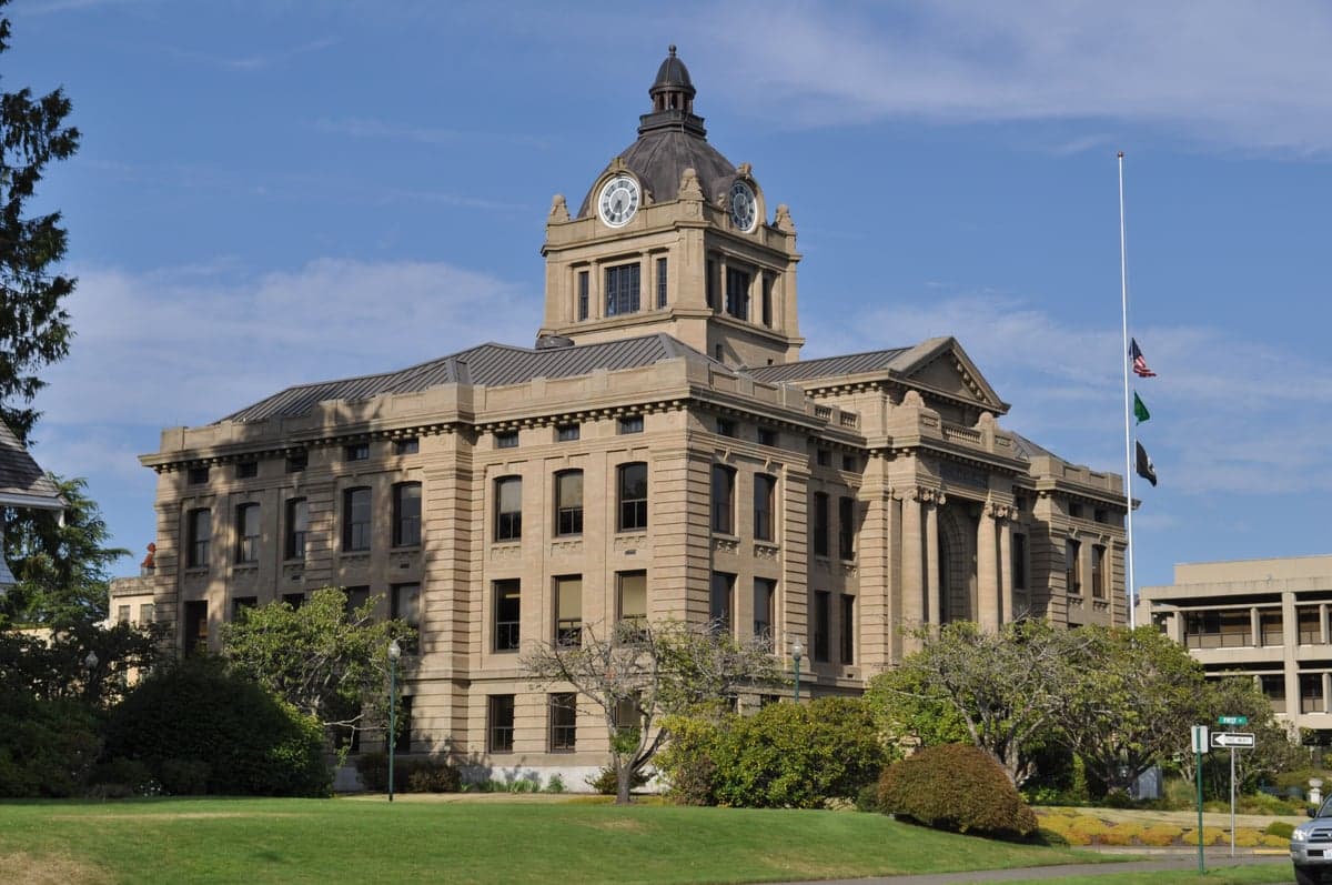
Photo: Wikipedia
Strategic Assessment of Grays Harbor County
Meaningful friction. Expect exposure to either population pressure, blast zones, or natural disaster risk. Consider buying a retreat property.
What does the Strategic Assessment tell us?
Our Strategic Assessment grades tactical survivability of an area. Major population centers, military targets, fallout zones, natural disasters, and border exposure all drive risk — lower exposure means a more defensible position in a crisis.
This is heavily inspired by Joel Skousen's Strategic Relocation book. Highly recommended you checkout the book ($)What does this tell us?
Our Strategic Assessment grades tactical survivability of an area. Major population centers, military targets, fallout zones, natural disasters, and border exposure all drive risk — lower exposure means a more defensible position in a crisis.
This is heavily inspired by Joel Skousen's Strategic Relocation book. Highly recommended you checkout the book ($)Strategic Pillars

Key Distances
Strategic Assessment Analysis
Grays Harbor County, tucked into the southwestern corner of Washington State, presents a mixed strategic picture for the relocator serious about disaster resilience and self-sufficiency. Its geography offers meaningful buffers against many catastrophic scenarios while exposing it to distinct natural liabilities. The county's working-class character, anchored by the port city of Aberdeen and the county seat of Montesano, keeps it off the radar of most west-coast relocation guides, but that quiet positioning is itself an asset for those prioritizing distance from high-probability targets. The real question is whether the area's practical strengths outweigh its very real environmental exposures.
Geographic position and natural advantages for long-term security
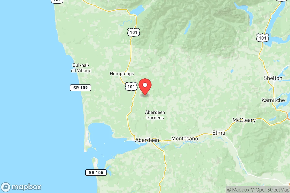
The county sits where the Chehalis River meets the Pacific, with the Olympic Mountains to the north and the Willapa Hills to the south. That coastal placement is a double-edged asset. On the plus side, Grays Harbor County is far from any major military or industrial complex that would draw first-strike attention. The nearest significant strategic target is Joint Base Lewis-McChord, roughly 80 miles east-northeast near Olympia — close enough to feel secondary effects like infrastructure disruption, but far enough that a direct hit on the base would not blanket the county in immediate fallout. The port of Grays Harbor, especially the modern deep-water terminal at Hoquiam, handles bulk commodities (logs, grain, aggregate) rather than military cargo, keeping its profile low. The county is also removed from Seattle's dense urban grid and the Port of Tacoma's sprawling industrial basin, both prominent targets. For the relocator eyeing a buffer from man-made catastrophe, the county's strategic inconsequence is a feature, not a bug.
Risks and exposures near Grays Harbor County
The natural risk spectrum here is serious. The county sits within the Cascadia Subduction Zone, meaning a magnitude 9+ earthquake and the resulting tsunami are not hypothetical — they are the region's defining geological reality. The coastal strip, including Westport and Ocean Shores, would be directly exposed to the wave within minutes, making those areas effectively uninhabitable in a worst-case event. Even inland communities like Aberdeen and Montesano, lying at river level along the Chehalis River floodplain, would face liquefaction and severe flooding from both tsunami surge upriver and the inevitable collapse of upstream dams. The county has experienced multiple 100-year flood events in the past two decades, and those risks compound with any seismic scenario. On the man-made side, the Satsop Nuclear Power Plant — never completed but still containing spent fuel stored on site — sits about 15 miles east of Aberdeen. A major quake could breach that facility's containment, though the actual fallout risk to populated areas is debated among emergency planners. The county also has active logging operations and chemical storage at the port, but these are minor compared to what a relocator would face near Portland's industrial corridor or the Puget Sound military-nuclear complex.
Practical resilience for food, water, energy, and defensibility
Here the county shows its real hand for the serious relocator. The Chehalis River watershed provides abundant surface water, and groundwater in the alluvial valleys is generally reliable, though private wells in the coastal hills can suffer from saltwater intrusion during drought. The county's rainfall — averaging 80+ inches annually on the coast — means water is rarely in short supply, though treatment and storage are the limiting factors after a grid-down event. Food resilience is above average. The county has a working agricultural base: small dairies, grass-fed beef operations, and substantial local fisheries centered on the Grays Harbor estuary (crab, salmon, bottomfish). The farm stands and u-pick operations around Elma and McCleary are genuine assets, though the growing season is short and cool. Timber covers roughly 70% of the county, providing fuel for off-grid heating — a critical detail for Washington's dark, wet winters. Defensibility is mixed. The county is laced with state highways (US 101, SR 12, SR 107) and railroad lines, making it hard to seal off entirely, but the interior valleys offer numerous dead-end drainages where a small group could establish a tenable position. Population density outside the Aberdeen-Hoquiam corridor is under 20 people per square mile, giving a relocator genuine space to operate without constant neighbor pressure. The county's energy grid is vulnerable — transmission lines from the Columbia River dams run through forested terrain prone to ice and wind storms, and the region saw multi-day outages after the 2021 ice storm. Solar potential is low (heavy cloud cover from November to March), but micro-hydro from the region's many creeks is a realistic option for the properly situated.
The overall strategic picture for Grays Harbor County is one of trade-offs that favor the prepared and self-reliant relocator over the casual lifestyle mover. Its greatest strength — being far enough from high-value targets — is offset by its exposure to a genuinely catastrophic Cascadia event. For the reader who takes disaster readiness seriously, the play is to locate inland and uplifted, away from the tsunami zone and the floodplain, ideally on a south-facing slope in the interior hills east of Oakville or north toward Humptulips. The county offers enough local food, water, and fuel wood to sustain a small community through moderate disruptions, but it will test a relocator's ability to self-sufficiently manage wet, cold conditions with limited grid support. It is not a paradise — it is a working, raw place that demands competence. For the right person, that is precisely the point.

* Values derived from national, state, county, city and local statistics and may differ in a specific area. Last updated: 2026-09-14T09:46:48.000Z
Narrative content on this page is AI-generated and may contain mistakes. Verify any details that matter before acting on them.
ReloMaps may earn a commission from affiliate links at no extra cost to you.

