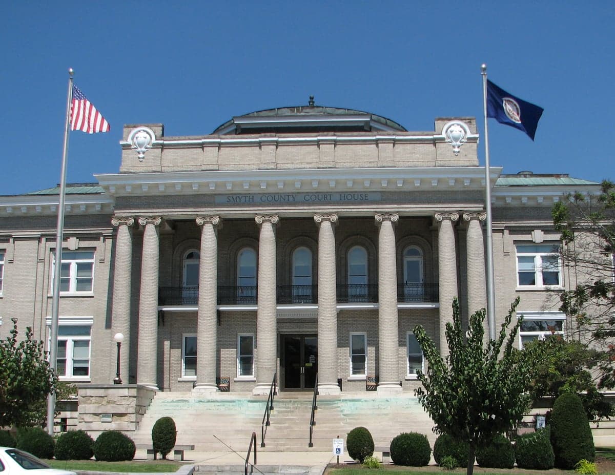
Photo: Wikipedia
Strategic Assessment of Smyth County
Workable tactical position. Some exposure to population density or targets, but generally defensible in a crisis.
What does the Strategic Assessment tell us?
Our Strategic Assessment grades tactical survivability of an area. Major population centers, military targets, fallout zones, natural disasters, and border exposure all drive risk — lower exposure means a more defensible position in a crisis.
This is heavily inspired by Joel Skousen's Strategic Relocation book. Highly recommended you checkout the book ($)What does this tell us?
Our Strategic Assessment grades tactical survivability of an area. Major population centers, military targets, fallout zones, natural disasters, and border exposure all drive risk — lower exposure means a more defensible position in a crisis.
This is heavily inspired by Joel Skousen's Strategic Relocation book. Highly recommended you checkout the book ($)Strategic Pillars

Key Distances
Strategic Assessment Analysis
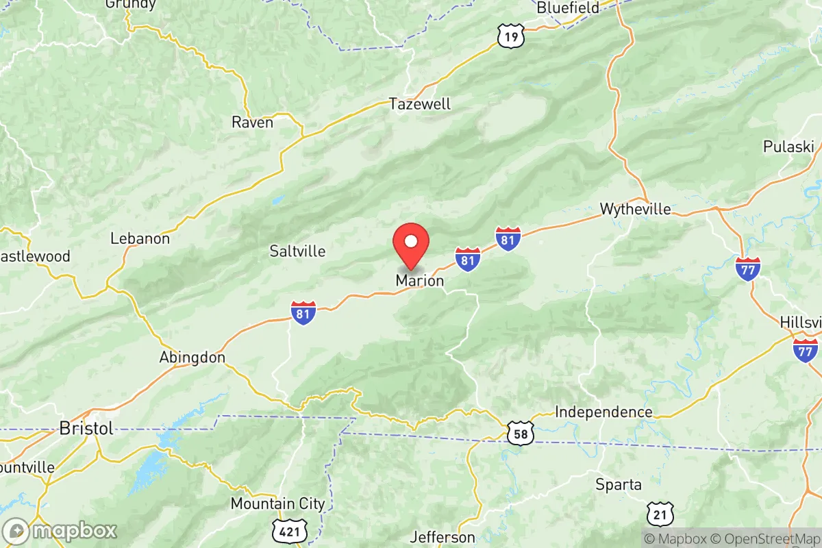
Smyth County, Virginia, occupies a strategic position in the Appalachian highlands that offers a compelling blend of natural isolation and practical accessibility for those prioritizing resilience and self-sufficiency. Located along the Interstate 81 corridor, the county provides a buffer from the densest population centers of the Eastern Seaboard while remaining within a day's drive of critical infrastructure and supply chains. The county seat, Marion, and the town of Chilhowie serve as the primary population hubs, with the entire county's population hovering around 30,000—sparse enough to avoid the cascading failures of a major metro area, but dense enough to sustain local services and a functional economy. This balance makes Smyth County a serious consideration for relocators who want to be out of the way without being completely cut off from the outside world.
Geographic position and natural advantages for long-term security
Smyth County's geography is defined by the rugged ridges and valleys of the Blue Ridge and Appalachian Mountains, which provide a natural layer of defense against both human and environmental threats. The county sits at the headwaters of the Holston River, a tributary of the Tennessee River system, giving residents access to abundant freshwater resources that are less likely to be contaminated by downstream industrial runoff. The surrounding mountains—including Whitetop Mountain and Mount Rogers, the highest peak in Virginia—create a rain shadow effect that moderates extreme weather, while the elevation (Marion sits at roughly 2,100 feet) keeps the area cooler than the Piedmont and coastal plains during summer heat waves. The terrain also limits the pathways for large-scale evacuation or military movement, which in a crisis scenario would slow the flow of displaced populations from cities like Roanoke (about 90 miles northeast) or Charlotte (about 150 miles south). For a relocator, this means the county is not a natural thoroughfare for panic-driven migration, a significant advantage over flatter, more accessible regions.
Risks, exposures, and proximity to fallout-relevant landmarks
No location is without risk, and Smyth County has specific exposures that a strategic relocator must weigh. The most significant man-made risk is the county's position relative to the I-81 corridor, a major trucking and logistics artery that carries hazardous materials, including fuel and industrial chemicals, between the Northeast and the Southeast. A derailment or truck accident near the Marion rail yard or the Chilhowie truck stops could release toxic fumes or disrupt supply routes for days. Additionally, the county is within 100 miles of the Bristol metropolitan area and the Kingsport industrial zone in Tennessee, which includes chemical plants and a major paper mill. While not a direct fallout target, these facilities could become secondary hazards in a broader crisis. On the natural risk side, the region is in a moderate seismic zone—the 2011 Mineral earthquake (magnitude 5.8) was felt here—and the mountainous terrain is prone to localized flooding and landslides during heavy rain events. However, the county is far from any active fault lines, hurricane storm surge zones, or wildfire-prone chaparral, making it comparatively stable. The nearest military installation of strategic significance is the Fort Pickett training area (now part of the Virginia National Guard's Maneuver Training Center), roughly 120 miles east, which is a low-priority target compared to Norfolk Naval Base or the Pentagon.
Practical resilience for a relocator: food, water, energy, and defensibility
For a relocator serious about self-sufficiency, Smyth County offers strong fundamentals in the four critical domains of resilience. Water is the county's strongest asset: the Holston River and its tributaries, including the Middle Fork and South Fork, provide year-round flow, and the area's average annual rainfall of 45 inches means well-drilling is reliable and shallow. The county's groundwater is generally high-quality, with low mineral content compared to limestone-heavy regions further west. Food production is viable but not abundant: the valley floors around Marion and Chilhowie support small-scale row cropping (hay, corn, and some vegetables), while the hillsides are suitable for pasture and orchards. The county has a handful of working farms and a farmers' market in Marion, but a relocator should plan to establish their own garden and possibly raise livestock, as the local grocery supply chain is thin and dependent on I-81 trucking. Energy is a mixed picture: the county is served by Appalachian Power, which draws from a mix of coal, natural gas, and hydroelectric sources, but the mountainous terrain makes grid repair after storms slow. Solar potential is moderate—the area gets about 200 sunny days per year, less than the Southwest but enough for a well-sized off-grid system with battery storage. Wood heating is a practical and culturally accepted option, with abundant hardwood forests on public and private land. Defensibility is where the county's geography truly shines: the narrow valleys and ridgelines create natural chokepoints, and many rural properties are set back from main roads with limited visibility. The county's low population density means that a small, prepared group could effectively monitor and control access to their immediate area without drawing attention. The local law enforcement presence is limited—the Smyth County Sheriff's Office has about 30 sworn deputies for the entire county—so community-based security arrangements would be essential in a prolonged crisis.
The overall strategic picture for Smyth County is one of moderate-to-high resilience with specific, manageable trade-offs. It is not a remote wilderness—it is a working Appalachian county with a functional small-town economy, a hospital (the Smyth County Community Hospital in Marion), and a population that is generally self-reliant and familiar with hard winters and power outages. The proximity to I-81 is a double-edged sword: it provides access to supplies and medical care in normal times, but it also introduces a vector for chaos during a regional collapse. For a relocator who values water security, defensible terrain, and a community that is not entirely dependent on the federal government, Smyth County ranks well above most of the Eastern Seaboard. The key is to arrive prepared—with stored food, alternative energy, and a plan to integrate into the local network—rather than expecting the county to provide everything. For those willing to trade the convenience of suburban life for genuine strategic depth, this corner of southwest Virginia deserves a serious look.

* Values derived from national, state, county, city and local statistics and may differ in a specific area. Last updated: 2026-11-05T03:08:38.000Z
Narrative content on this page is AI-generated and may contain mistakes. Verify any details that matter before acting on them.
ReloMaps may earn a commission from affiliate links at no extra cost to you.

