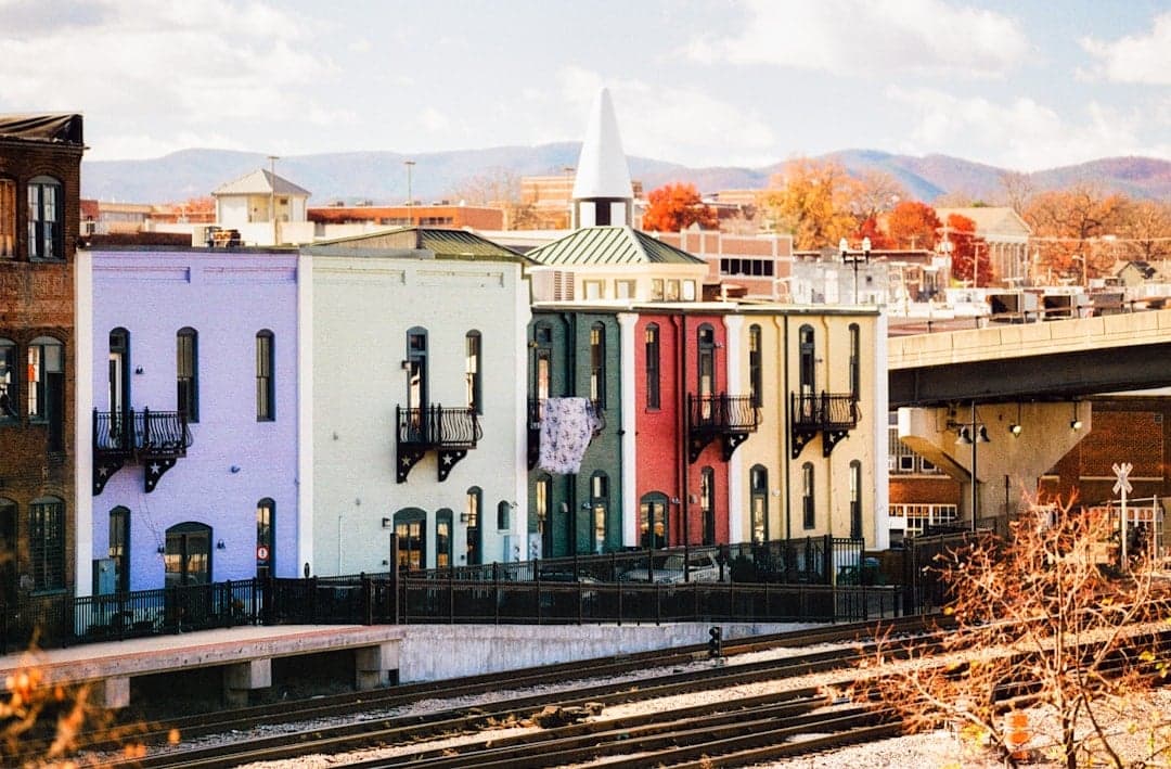
Photo: Chandler Cruttenden via Unsplash
Strategic Assessment of Roanoke City County
Meaningful friction. Expect exposure to either population pressure, blast zones, or natural disaster risk. Consider buying a retreat property.
What does the Strategic Assessment tell us?
Our Strategic Assessment grades tactical survivability of an area. Major population centers, military targets, fallout zones, natural disasters, and border exposure all drive risk — lower exposure means a more defensible position in a crisis.
This is heavily inspired by Joel Skousen's Strategic Relocation book. Highly recommended you checkout the book ($)What does this tell us?
Our Strategic Assessment grades tactical survivability of an area. Major population centers, military targets, fallout zones, natural disasters, and border exposure all drive risk — lower exposure means a more defensible position in a crisis.
This is heavily inspired by Joel Skousen's Strategic Relocation book. Highly recommended you checkout the book ($)Strategic Pillars

Key Distances
Strategic Assessment Analysis
Roanoke City County, Virginia, offers a compelling mix of geographic resilience and strategic positioning that appeals to relocation-minded individuals and families prioritizing disaster readiness and self-sufficiency. Nestled in the Blue Ridge Mountains, the area provides natural barriers against many large-scale threats while maintaining access to critical infrastructure and supply routes. For a conservative-leaning audience evaluating long-term security, Roanoke presents a balanced profile: it is far enough from major metropolitan targets to reduce fallout exposure, yet close enough to essential resources to sustain a self-reliant lifestyle.
Geographic position and natural advantages for long-term security
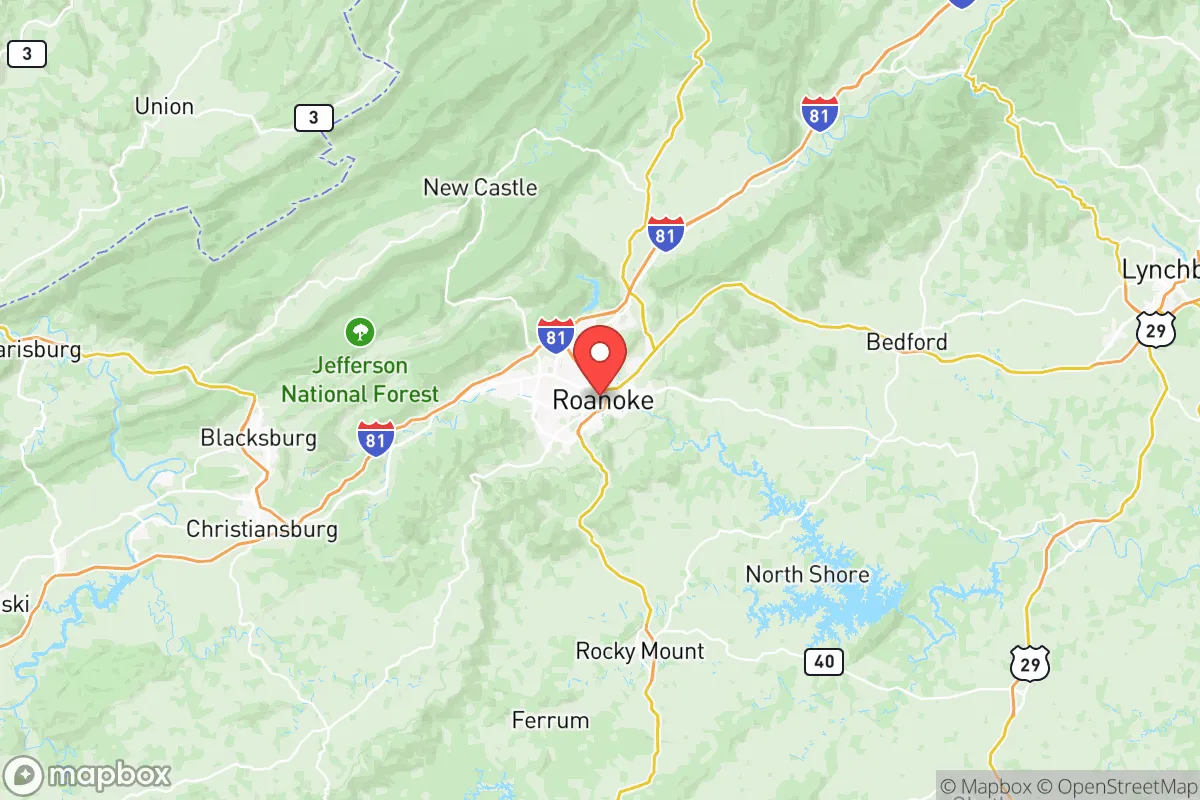
Roanoke sits in a valley surrounded by the Blue Ridge and Allegheny mountain ranges, creating a natural defensive perimeter that limits easy access and provides significant terrain-based security. The city is roughly 180 miles southwest of Washington, D.C., and about 150 miles west of Richmond, placing it well outside the immediate blast and fallout zones of those high-value targets. The nearby Jefferson National Forest offers extensive wilderness for hunting, foraging, and off-grid retreat options. The Roanoke River runs through the city, providing a reliable freshwater source, and the region's moderate climate supports year-round agriculture. Roanoke's elevation (ranging from 900 to over 3,000 feet in surrounding areas) reduces flood risk compared to coastal Virginia and provides natural cooling in summer, lowering energy demands. The area's position along Interstate 81 and U.S. Route 220 gives residents access to north-south and east-west corridors without being a primary chokepoint likely targeted in a conflict scenario.
Risks, exposures, and proximity to fallout-relevant landmarks
While Roanoke enjoys significant natural protection, it is not immune to risks. The city lies within 100 miles of the Daleville Army Ammunition Plant and the Radford Army Ammunition Plant (about 40 miles southwest), both of which are potential targets in a major conflict. The Norfolk Naval Shipyard and Naval Station Norfolk are roughly 250 miles east, placing Roanoke outside the primary fallout plume from a strike on Hampton Roads, but secondary effects from prevailing winds could still pose risks. The Blue Ridge Pipeline runs through the region, and the Roanoke Regional Airport could become a secondary target. Natural hazards include occasional ice storms, flooding in low-lying areas near the Roanoke River, and the remote possibility of seismic activity along the Eastern Tennessee Seismic Zone. Wildfire risk is moderate, particularly in dry summers in the surrounding national forest lands. The area's mountainous terrain can also complicate evacuation routes during a crisis, as I-81 and U.S. 220 can become congested quickly.
Practical resilience for a relocator: food, water, energy, and defensibility
Roanoke's practical resilience is strong for a mid-sized city. The region has abundant local food production, with numerous farms in the surrounding Roanoke Valley and Botetourt County supplying fresh produce, meat, and dairy. The Roanoke Farmers Market operates year-round, and the city's proximity to the Shenandoah Valley provides access to one of Virginia's most productive agricultural regions. Water security is excellent: the Roanoke River and the Carvin Cove Reservoir (the city's primary water source) offer redundancy, and many rural properties have access to wells. Energy infrastructure is moderately resilient, with Appalachian Power serving the area and natural gas lines running through the region. Solar adoption is growing, and the mountainous terrain allows for micro-hydro setups on properties with streams. Defensibility is a key advantage: the valley's natural chokepoints (e.g., the Roanoke Gap) make it easier to monitor and control access, and the surrounding national forest provides both cover and resources. Property prices remain relatively affordable compared to Northern Virginia or Richmond, with median home values around $220,000 as of 2025, allowing families to acquire land with space for gardens, livestock, and off-grid systems.
Overall, Roanoke City County presents a strong strategic option for relocators focused on resilience and self-sufficiency. Its mountain geography provides natural protection from many large-scale threats, while its access to water, food, and energy infrastructure supports long-term sustainability. The primary concerns are proximity to military-industrial targets like the Radford and Daleville ammunition plants and the potential for evacuation bottlenecks during a crisis. For a family or individual willing to invest in off-grid capabilities and maintain situational awareness, Roanoke offers a balanced mix of security, affordability, and access to resources that is hard to beat in the Mid-Atlantic region.

* Values derived from national, state, county, city and local statistics and may differ in a specific area. Last updated: 2026-07-08T07:06:00.000Z
Narrative content on this page is AI-generated and may contain mistakes. Verify any details that matter before acting on them.
ReloMaps may earn a commission from affiliate links at no extra cost to you.

