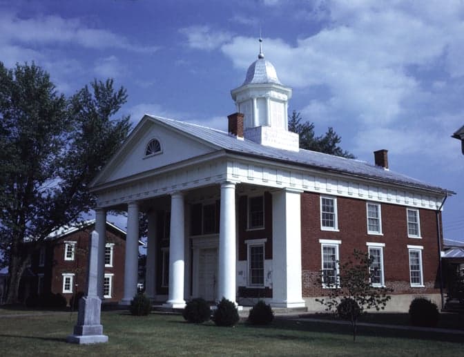
Photo: Wikipedia
Strategic Assessment of Greene County
Workable tactical position. Some exposure to population density or targets, but generally defensible in a crisis.
What does the Strategic Assessment tell us?
Our Strategic Assessment grades tactical survivability of an area. Major population centers, military targets, fallout zones, natural disasters, and border exposure all drive risk — lower exposure means a more defensible position in a crisis.
This is heavily inspired by Joel Skousen's Strategic Relocation book. Highly recommended you checkout the book ($)What does this tell us?
Our Strategic Assessment grades tactical survivability of an area. Major population centers, military targets, fallout zones, natural disasters, and border exposure all drive risk — lower exposure means a more defensible position in a crisis.
This is heavily inspired by Joel Skousen's Strategic Relocation book. Highly recommended you checkout the book ($)Strategic Pillars

Key Distances
Strategic Assessment Analysis
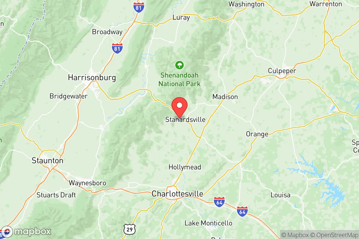
Greene County, Virginia, offers a compelling strategic position for relocation-minded individuals and families who prioritize resilience and self-sufficiency without complete isolation. Nestled in the eastern foothills of the Blue Ridge Mountains, this rural county of roughly 21,000 residents provides a buffer from major metropolitan vulnerabilities while maintaining practical access to essential resources. Its location—roughly 30 miles north of Charlottesville and 90 miles southwest of Washington, D.C.—places it outside the immediate blast and fallout zones of high-value targets, yet close enough to leverage regional infrastructure when needed.
Geographic position and natural advantages for long-term stability
Greene County’s primary strategic asset is its topography. The county sits at the transition point between the Piedmont plateau and the Blue Ridge Mountains, with elevations ranging from about 500 feet in the lowlands to over 3,000 feet along the Shenandoah National Park boundary. This varied terrain offers natural defensibility—the mountains create chokepoints along major routes like U.S. Route 29 and State Route 33, which funnel traffic through narrow valleys. The county is bisected by the South River and several smaller creeks, providing reliable surface water sources that are less susceptible to drought than flatter regions to the east. The area’s forest cover exceeds 60%, offering both timber resources and wildlife habitat for subsistence hunting. Unlike the sprawling suburbs of Northern Virginia, Greene County’s low population density (roughly 100 people per square mile) reduces competition for resources during a crisis. The county seat, Stanardsville, serves as the administrative and commercial hub, while unincorporated communities like Ruckersville and Dyke offer smaller clusters of development with their own water sources and farmland.
Risks, exposures, and proximity to fallout-relevant landmarks
Greene County’s primary risk profile centers on its proximity to high-value targets in the Washington, D.C. metropolitan area and the broader Mid-Atlantic corridor. The county lies roughly 70 miles from Fort Belvoir and 90 miles from the Pentagon, both of which are Tier-1 nuclear targets. Prevailing winds in this region typically blow from the west and northwest, meaning that fallout from a strike on D.C. would likely drift eastward, away from Greene County. However, a strike on Quantico Marine Corps Base (about 60 miles east) or the Dahlgren Naval Surface Warfare Center (about 70 miles southeast) could produce fallout that reaches the county under certain wind conditions. The county also sits within 30 miles of the North Anna Nuclear Generating Station in Louisa County, a dual-reactor facility that could become a secondary target or a source of radiological release in a conflict. Natural risks are comparatively low: the region experiences occasional flooding along the South River during heavy rains, and the Blue Ridge escarpment can produce localized severe weather, but the area is not prone to hurricanes, earthquakes, or wildfires at the scale seen in the western U.S. The county’s distance from major ports, refineries, and chemical plants—the nearest refinery is in Yorktown, over 100 miles away—reduces the risk of industrial accidents or targeted strikes on energy infrastructure.
Practical resilience for a relocator: food, water, energy, and defensibility
For a relocator serious about self-sufficiency, Greene County offers a strong baseline but requires deliberate preparation. The county’s agricultural heritage remains intact, with dozens of working farms producing livestock, hay, corn, and vegetables. The Greene County Farmers Market in Stanardsville provides a local outlet for fresh produce, but more importantly, the county’s zoning allows for small-scale agriculture on parcels as small as 2-3 acres. Water availability is a key advantage: the South River and its tributaries run year-round, and groundwater is generally accessible via wells at depths of 100-300 feet. The county’s municipal water system serves Stanardsville and Ruckersville, but most rural properties rely on private wells, which are less vulnerable to infrastructure failure. Energy resilience is more challenging. The county is served by Dominion Energy, with overhead power lines that are vulnerable to ice storms and wind events. Solar potential is moderate—the region receives about 200 sunny days per year, below the national average—but off-grid solar with battery storage is feasible for well-insulated homes. Wood heating is a practical alternative, given the county’s forest resources and the prevalence of wood stoves in older homes. Defensibility is a mixed picture: the mountainous terrain provides natural barriers, but the county’s road network is limited, with only two major arteries (U.S. 29 and State Route 33) connecting it to the outside world. This creates both a chokepoint advantage and a potential evacuation bottleneck. The county’s law enforcement presence is modest—the Greene County Sheriff’s Office operates with roughly 30 sworn deputies—so community-based security arrangements would be essential in a prolonged crisis.
The overall strategic picture for Greene County is one of moderate-to-strong resilience with manageable trade-offs. Its mountain buffer and distance from primary targets make it a safer bet than the D.C. suburbs or the I-95 corridor, while its agricultural base and water resources support long-term self-sufficiency. The main vulnerabilities are the proximity to the North Anna nuclear plant and the potential for fallout from strikes on military installations to the east. For a relocator willing to invest in well water, solar backup, and wood heating, and to participate in local community networks, Greene County offers a defensible, resource-rich environment that balances access to civilization with genuine rural security. It is not a bug-out location for the prepper seeking total isolation, but it is a strong candidate for the family looking to build a resilient, sustainable life within striking distance of the Blue Ridge.

* Values derived from national, state, county, city and local statistics and may differ in a specific area. Last updated: 2026-09-07T21:40:59.000Z
Narrative content on this page is AI-generated and may contain mistakes. Verify any details that matter before acting on them.
ReloMaps may earn a commission from affiliate links at no extra cost to you.

