
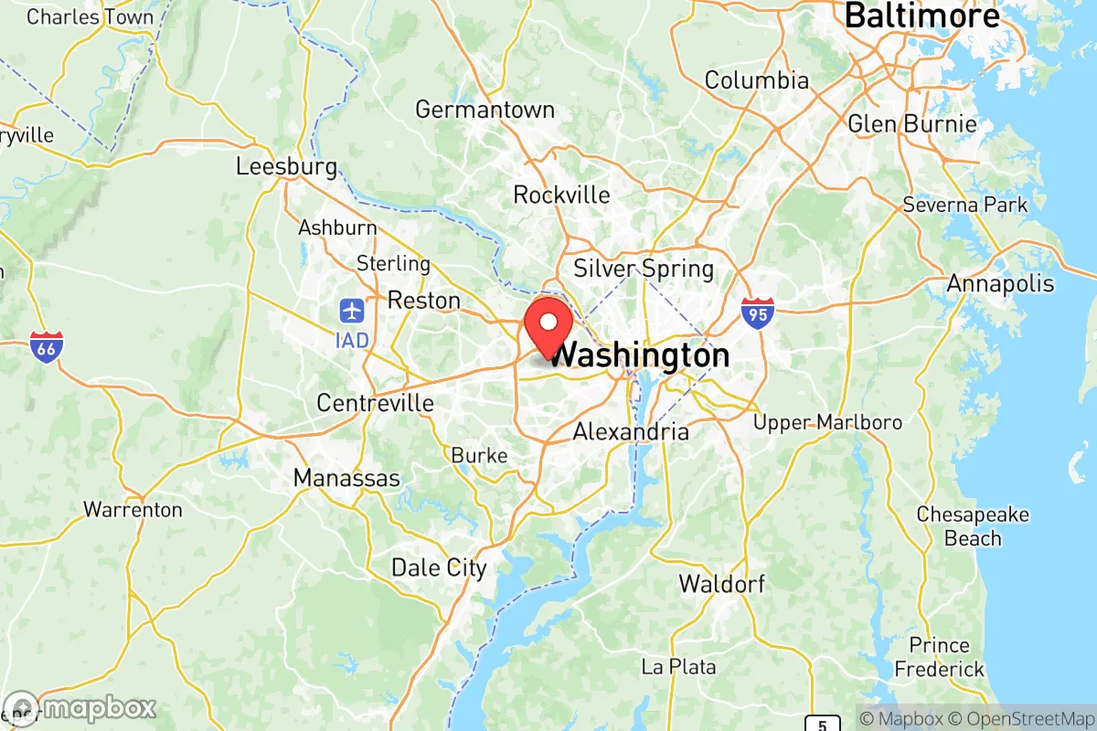
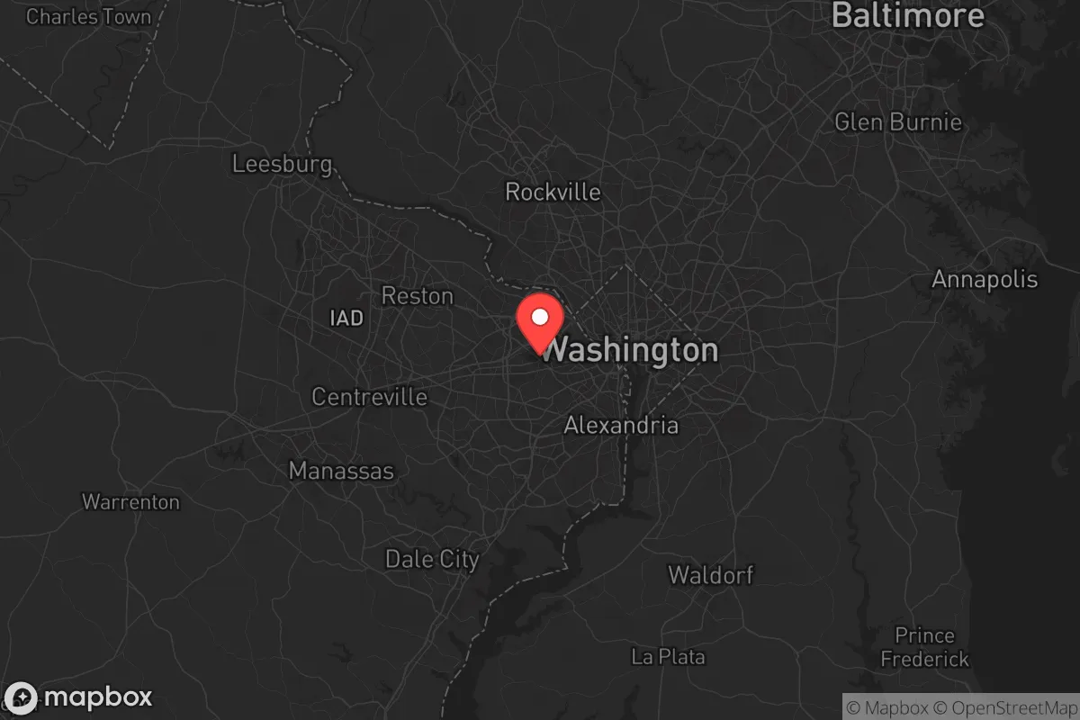
Strategic Assessment of Falls Church City County
Meaningful friction. Expect exposure to either population pressure, blast zones, or natural disaster risk. Consider buying a retreat property.
What does the Strategic Assessment tell us?
Our Strategic Assessment grades tactical survivability of an area. Major population centers, military targets, fallout zones, natural disasters, and border exposure all drive risk — lower exposure means a more defensible position in a crisis.
This is heavily inspired by Joel Skousen's Strategic Relocation book. Highly recommended you checkout the book ($)What does this tell us?
Our Strategic Assessment grades tactical survivability of an area. Major population centers, military targets, fallout zones, natural disasters, and border exposure all drive risk — lower exposure means a more defensible position in a crisis.
This is heavily inspired by Joel Skousen's Strategic Relocation book. Highly recommended you checkout the book ($)Strategic Pillars

Key Distances
Strategic Assessment Analysis
Falls Church City County, Virginia, presents a complex strategic picture for the relocation-minded reader prioritizing resilience and preparedness. Its primary advantage is its small, independent jurisdiction status—a 2.2-square-mile enclave entirely surrounded by Fairfax County and Arlington—which grants it a unique degree of local control over zoning, schools, and emergency services. However, this same geography places it within the dense urban core of the Washington, D.C. metropolitan area, making it a high-consequence location for anyone assessing disaster readiness and self-sufficiency. The city’s resilience profile is defined by a constant tension between its strong local governance and its unavoidable proximity to a primary national target zone.
Geographic position and natural advantages for preparedness
Falls Church sits atop the Fall Line, a geological boundary where the hard bedrock of the Piedmont region meets the softer coastal plain, providing slightly more stable ground than areas further east. The city is positioned roughly 7 miles west of the District of Columbia line, placing it just outside the immediate blast radius of a theoretical ground-zero event in the capital, but well within the zone of severe fallout and secondary effects. The area’s natural topography is gently rolling, with elevations ranging from about 200 to 400 feet above sea level, offering no significant natural barriers or defensible high ground. The Potomac River, a major water source, lies approximately 4 miles to the east, but the city itself is not directly on the river, relying instead on the Falls Church Water system, which draws from the Potomac via the Washington Aqueduct. The city’s tree canopy is dense, providing some natural cover and reducing heat island effects, but the overall landscape is thoroughly suburban, with no wilderness buffer. For a relocator, the key geographic takeaway is that Falls Church offers no natural isolation; its resilience depends entirely on human systems and community organization, not on geography.
Risks, exposures, and proximity to fallout-relevant landmarks
The most significant risk for Falls Church residents is its location within the National Capital Region, a high-priority target area for any strategic adversary. The city is within 10 miles of the Pentagon, the White House, the U.S. Capitol, and the CIA headquarters in Langley. It is also adjacent to the major transportation corridors of I-66 and Route 50, which would become immediate choke points during any evacuation. The nearby Reagan National Airport (DCA) and Joint Base Myer-Henderson Hall are additional military and aviation assets that increase the area’s strategic profile. Beyond man-made risks, the region faces natural hazards including moderate seismic activity (the 2011 Mineral, VA earthquake was felt strongly here), occasional severe thunderstorms, and the potential for derecho events like the 2012 storm that knocked out power for days. Flooding is a localized risk in low-lying areas near Four Mile Run and Holmes Run, but the city is not in a designated floodplain for the most part. The combination of high-value government targets, dense population (about 14,000 residents in the city, but over 1 million in the surrounding 5-mile radius), and limited egress routes makes Falls Church a high-exposure location for anyone concerned with man-made disasters.
Practical resilience for a relocator: food, water, energy, and defensibility
For a relocator assessing daily preparedness, Falls Church offers a mixed picture. The city’s water supply is robust but vulnerable: it comes from the Potomac via the Washington Aqueduct, a single-point-of-failure system that serves the entire D.C. region. A disruption at the Dalecarlia Reservoir or the treatment plant would affect Falls Church directly. The city has a small emergency water storage capacity, but not enough for a prolonged outage. Food resilience is poor; the city has no significant agricultural land, and the nearest working farms are in Loudoun County, 20 miles west. The local grocery infrastructure is typical of an affluent suburb—several supermarkets within a 2-mile radius—but these would be depleted within hours of a major event. Energy resilience is slightly better: Dominion Energy serves the area, and while the grid is above-average in reliability, it is not hardened against EMP or cyberattack. Some neighborhoods have underground utilities, which reduce storm-related outages. Defensibility is the weakest category. Falls Church is a dense, interconnected suburban grid with no natural chokepoints, no defensible perimeter, and a high number of ingress/egress routes that would be impossible to secure. The city’s police force is small (about 30 officers), and while the community is tight-knit, the overall environment is not conducive to long-term self-sufficient survival. For a relocator, the practical recommendation is to treat Falls Church as a location requiring a high degree of personal preparedness—stored supplies, alternative power, and a clear evacuation plan—rather than a place to hunker down indefinitely.
The overall strategic picture for Falls Church City County is one of calculated risk. It offers excellent local governance, strong schools, and a community that is engaged and prepared relative to the national average. The city’s independent status allows for faster decision-making and more responsive emergency management than in larger counties. However, these advantages are offset by the unavoidable reality of its location. For a relocator who must be in the D.C. area for work or family, Falls Church is arguably one of the better choices within the inner ring—it has a strong tax base, low crime, and a proactive local government. For someone with the flexibility to choose any location in the country, the same factors that make it desirable for daily life—proximity to power centers, dense population, reliance on regional infrastructure—make it a poor choice for a resilience-focused relocation. The honest assessment is that Falls Church is a high-functioning urban enclave, not a retreat. It is best suited for those who accept the risks of living near a primary target zone and who invest heavily in personal preparedness, rather than those seeking geographic security. The city’s resilience is a product of its community and systems, not its geography, and that distinction is critical for any relocator to understand before making a decision.

* Values derived from national, state, county, city and local statistics and may differ in a specific area. Last updated: 2026-06-17T22:01:31.000Z
Narrative content on this page is AI-generated and may contain mistakes. Verify any details that matter before acting on them.
ReloMaps may earn a commission from affiliate links at no extra cost to you.

