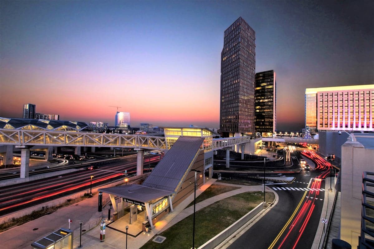
Photo: Wikipedia
Strategic Assessment of Fairfax County
Multiple tactical vulnerabilities. Population density, target proximity, or disaster risk are likely compounding. A retreat property and exit planning is required.
What does the Strategic Assessment tell us?
Our Strategic Assessment grades tactical survivability of an area. Major population centers, military targets, fallout zones, natural disasters, and border exposure all drive risk — lower exposure means a more defensible position in a crisis.
This is heavily inspired by Joel Skousen's Strategic Relocation book. Highly recommended you checkout the book ($)What does this tell us?
Our Strategic Assessment grades tactical survivability of an area. Major population centers, military targets, fallout zones, natural disasters, and border exposure all drive risk — lower exposure means a more defensible position in a crisis.
This is heavily inspired by Joel Skousen's Strategic Relocation book. Highly recommended you checkout the book ($)Strategic Pillars

Key Distances
Strategic Assessment Analysis
Fairfax County, Virginia, presents a complex strategic picture for the relocation-minded reader focused on resilience and self-sufficiency. Its primary advantage is its position within the Washington, D.C. metropolitan area, which provides unmatched economic stability and infrastructure, but this very proximity introduces significant vulnerabilities. For a conservative-leaning individual or family weighing disaster readiness, Fairfax County offers a mix of robust local governance and deep community resources, yet its location near the nation’s political and military command centers makes it a high-priority target in any major conflict scenario. The county’s resilience ultimately hinges on whether its economic and social strengths outweigh the risks of being in the shadow of a primary geopolitical target.
Geographic position and natural advantages for long-term stability
Fairfax County sits in Northern Virginia, bordered by the Potomac River to the east and the rolling hills of the Piedmont region to the west. This geography provides several natural buffers: the county is inland enough to avoid the direct hurricane storm surge threats faced by coastal Virginia Beach or Norfolk, yet it benefits from the moderating climate of the Mid-Atlantic. The Potomac River and its tributaries—like the Occoquan River and Difficult Run—offer substantial freshwater resources, though access is not uniformly distributed. The county’s elevation ranges from near sea level along the Potomac to over 500 feet in the western areas near Great Falls and Vienna, providing natural defensible high ground and reducing flood risk in those neighborhoods. The underlying geology is mostly stable bedrock and clay, minimizing earthquake risk compared to the West Coast. For a relocator, the western half of the county—towns like Reston, Herndon, and Centreville—offers better terrain for well water and septic systems, though most suburban development relies on municipal services. The county’s position along the I-95 corridor and near Dulles International Airport provides logistical advantages for supply chains and evacuation routes, but these same arteries become choke points during emergencies.
Risks, exposures, and proximity to fallout-relevant landmarks
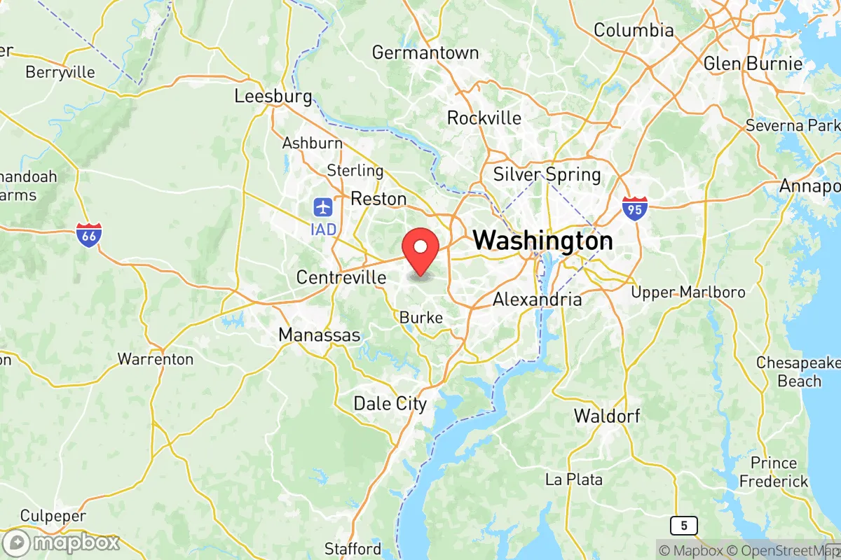
The most significant strategic liability for Fairfax County is its proximity to Washington, D.C., which is less than 15 miles from the county’s eastern edge. The county contains or borders several high-value targets: the Pentagon in Arlington, CIA headquarters in Langley, Fort Belvoir in southern Fairfax, and Quantico Marine Corps Base just south in Prince William County. In a nuclear exchange scenario, these sites would be primary or secondary targets, placing much of Fairfax County within the moderate-to-heavy fallout zone depending on wind patterns. The county also hosts Dulles International Airport, a major transportation hub that could be a target for conventional or EMP attacks. Beyond military and government targets, the region’s dense population—over 1.1 million residents—creates cascading risks: gridlock on evacuation routes like I-495 and I-66, overwhelmed hospitals, and potential civil unrest. Natural disaster risks are lower but not negligible: the county experiences occasional tornadoes (EF-0 to EF-2), severe thunderstorms, and winter storms that can knock out power for days. Flooding along the Potomac and Occoquan River floodplains affects neighborhoods like Huntington and Lorton. The county’s reliance on the regional power grid (PJM Interconnection) and centralized water treatment plants means a single point of failure could disrupt services for hundreds of thousands of residents.
Practical resilience for a relocator: food, water, energy, and defensibility
For a relocator serious about self-sufficiency, Fairfax County presents a mixed bag. Water access is the strongest point: the county sits atop the Potomac River aquifer, and many older homes in western areas like Oakton and Clifton have private wells. However, most suburban developments rely on municipal water from the Fairfax Water system, which draws from the Potomac and Occoquan reservoirs—vulnerable to contamination or sabotage. Food resilience is limited: the county has few working farms, though community gardens and farmers markets are common in areas like Falls Church and Burke. The Fairfax County 4-H program and local agricultural extension services support small-scale livestock and gardening, but zoning restricts most suburban lots from keeping chickens or goats. Energy independence is achievable but requires investment: solar panel adoption is growing, with county incentives and net metering through Dominion Energy, but most homes remain grid-tied. Backup generators are common in newer developments, and natural gas is widely available for heating and cooking. Defensibility is the weakest category: the county is a dense suburban sprawl with few natural chokepoints. The western areas near Clifton and Great Falls offer more rural layouts with larger lots, wooded cover, and limited road access, making them more defensible than the dense neighborhoods of Tysons or Annandale. Community preparedness is strong: the Fairfax County Office of Emergency Management runs robust CERT (Community Emergency Response Team) programs, and the county has a well-funded police and fire department. However, during a regional crisis, these resources would be stretched thin by the sheer population density.
The overall strategic picture for Fairfax County is one of high reward paired with high risk. Its economic stability, excellent schools, and strong infrastructure make it an attractive relocation destination for families and professionals seeking long-term security in normal times. The county’s disaster preparedness infrastructure is among the best in the nation, with detailed hazard mitigation plans, public warning systems, and a culture of community engagement. However, for the reader prioritizing resilience against low-probability, high-impact events—particularly nuclear or geopolitical conflict—Fairfax County’s proximity to Washington, D.C. and its concentration of military and intelligence targets is a dealbreaker. A more balanced approach would be to consider the county as a base for normal life while maintaining a secondary retreat property in a lower-risk area like the Shenandoah Valley or western Virginia. For those committed to staying, the western towns of Clifton, Great Falls, and Oakton offer the best balance of defensible terrain, well water potential, and distance from primary targets, while still providing access to the county’s economic and social advantages. Fairfax County is not a survivalist’s paradise, but for the pragmatic relocator who understands its vulnerabilities and plans accordingly, it remains a viable and prosperous home base.

* Values derived from national, state, county, city and local statistics and may differ in a specific area. Last updated: 2026-06-15T20:50:45.000Z
Narrative content on this page is AI-generated and may contain mistakes. Verify any details that matter before acting on them.
ReloMaps may earn a commission from affiliate links at no extra cost to you.

