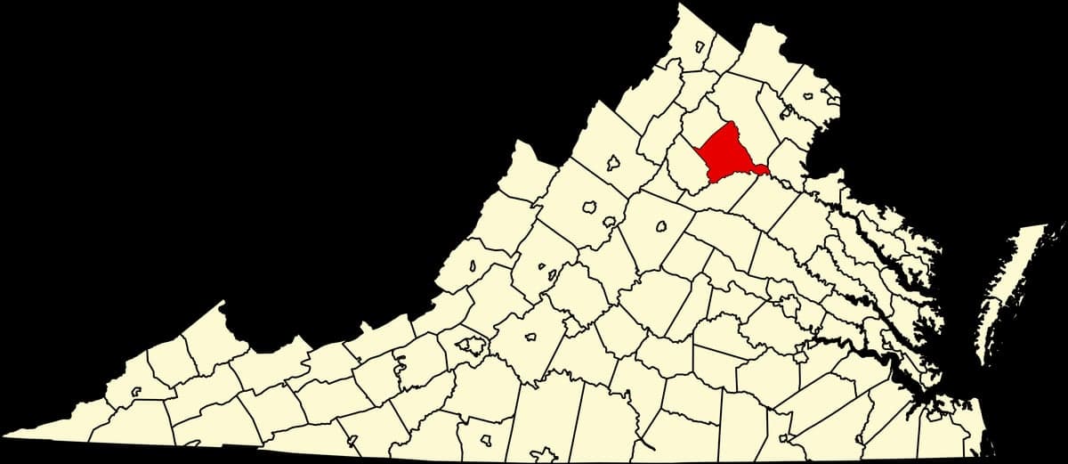
Photo: Wikipedia
Strategic Assessment of Culpeper County
Meaningful friction. Expect exposure to either population pressure, blast zones, or natural disaster risk. Consider buying a retreat property.
What does the Strategic Assessment tell us?
Our Strategic Assessment grades tactical survivability of an area. Major population centers, military targets, fallout zones, natural disasters, and border exposure all drive risk — lower exposure means a more defensible position in a crisis.
This is heavily inspired by Joel Skousen's Strategic Relocation book. Highly recommended you checkout the book ($)What does this tell us?
Our Strategic Assessment grades tactical survivability of an area. Major population centers, military targets, fallout zones, natural disasters, and border exposure all drive risk — lower exposure means a more defensible position in a crisis.
This is heavily inspired by Joel Skousen's Strategic Relocation book. Highly recommended you checkout the book ($)Strategic Pillars

Key Distances
Strategic Assessment Analysis
Culpeper County, Virginia, offers a compelling balance of strategic depth and practical livability for those prioritizing disaster readiness and self-sufficiency. While not a remote wilderness, its position at the crossroads of the Piedmont and the Blue Ridge foothills provides natural buffers and logistical advantages that many Mid-Atlantic relocation destinations lack. The county’s resilience profile is strong for those willing to invest in preparation, with its agricultural base, relatively low population density compared to Northern Virginia, and a community that leans into preparedness-minded living.
Geographic position and natural advantages for strategic relocation
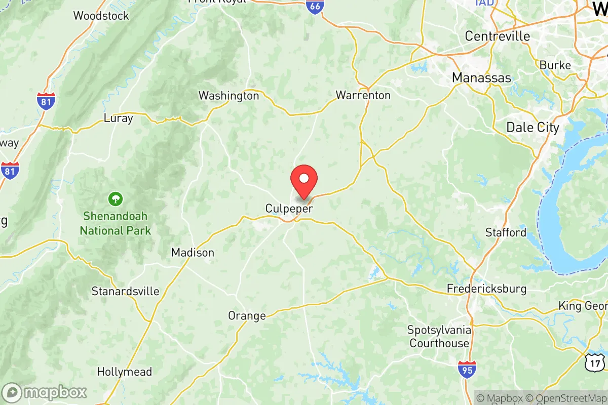
Culpeper County sits roughly 70 miles southwest of Washington, D.C., placing it beyond the immediate blast and fallout zones of a major metropolitan strike on the capital. Its location along the Rappahannock River corridor and at the junction of U.S. Routes 29 and 15 gives residents a defensible position with multiple evacuation routes into the Shenandoah Valley to the west or deeper into central Virginia to the south. The county’s topography, ranging from rolling hills in the east to steeper terrain near the Blue Ridge at the county’s western edge, offers natural vantage points and terrain that complicates mass movement or pursuit. The town of Culpeper itself sits at an elevation of roughly 400 feet, with higher ground available near Richardsville or along the Robertson River. The area’s geology includes deep clay and limestone-based soils that support groundwater recharge, a significant advantage for well-based water security. The county is also home to Lake Pelham and Lake Arrowhead, two sizable reservoirs that provide both recreational water access and emergency water sources for those with the means to treat or haul it. Unlike the flat, flood-prone Coastal Plain, Culpeper’s elevation and drainage patterns minimize catastrophic flooding risk from hurricanes or nor’easters, a distinct plus in a changing climate.
Risks, exposures, and proximity to fallout-relevant landmarks
The county’s primary strategic vulnerability is its proximity to high-value targets in the Washington-Baltimore corridor and the Richmond-Petersburg industrial complex. Though outside the immediate blast radius of a nuclear event in D.C., Culpeper County lies within the prevailing westerly wind patterns that could carry fallout from a strike on the capital or the Quantico Marine Corps Base (about 30 miles northeast). The Dominion Energy North Anna Nuclear Power Station in nearby Louisa County (roughly 20 miles southeast) is another significant risk: while the plant has robust containment, a severe accident or terrorist event would place much of eastern Culpeper County in the primary plume zone. Additionally, the Dahlgren Naval Surface Warfare Center on the Potomac (about 35 miles east) and the Fort Belvoir complex (about 40 miles northeast) represent secondary military targets whose secondary effects—electromagnetic pulse, ground shock, or hasty evacuations—could ripple into the county. On the natural hazard front, the county sits in a lower-risk seismic zone, though the 2011 Mineral earthquake (5.8 magnitude) was centered just 20 miles south and caused minor structural damage in parts of Culpeper. Severe thunderstorms and occasional tornadoes are the primary weather threat, with the county averaging 1-2 tornado warnings per year, typically from June to August. Wildfire risk is moderate, concentrated in forested western areas near the Shenandoah National Park boundary; Old Rag Mountain and the Rapidan River corridor see seasonal fire danger during droughts.
Practical resilience for a relocator: food, water, energy, and defensibility
Culpeper County’s agricultural sector is a major practical advantage. The county ranks among Virginia’s top producers of beef cattle, hay, and grain corn, with hundreds of active farms. The Culpeper Farmers Market (operating year-round downtown) and direct-from-farm sales through operations like Reeves Orchard near Boston, VA, mean fresh food access even in disrupted supply chains. The county’s soil and climate support diversifying into home food production—warm summers, adequate rainfall (averaging 40 inches annually), and a 180-day growing season. Water security is strong for those on private wells, with the primary aquifer (the Culpeper Basin) generally yielding 10-30 gallons per minute at typical depths of 150-300 feet. However, drought periods in 2002 and 2020 did stress shallow wells in the eastern part of the county, so relocators should test well yield before purchase. The town of Culpeper’s municipal water system draws from the Rapidan River, but surface water treatment could be compromised during a regional power outage or chemical spill. Energy resilience is mixed: Dominion Energy’s grid is only moderately hardened compared to rural cooperatives, and outages during storms (ice storms in winter, derechos in summer) can last 2-5 days in outlying areas. Solar potential is good—the county averages 4.5 peak sun hours per day—and backup generators are common among prepared residents. Defensibility is best in the western half of the county, where narrow county roads (like CR 643 or CR 718 near the Madison County line) provide natural chokepoints and fewer ingress routes from the east. The town of Culpeper proper is less defensible due to its rail and highway junctions, but rural hamlets like Rixeyville or Lignum offer quiet isolation with good line-of-sight visibility. The county’s sheriff’s office maintains a well-regarded community policing model, and the Culpeper County Emergency Management office regularly hosts CERT and preparedness workshops.
Overall, Culpeper County scores well for a relocator who values proximity to infrastructure without being a target itself. It’s not a bug-out wilderness—you’ll have neighbors and the occasional Walmart checkout line—but its agricultural foundation, water abundance, and position outside the primary fallout corridors of D.C. and Richmond give it a genuine resilience edge over closer-in suburbs like Warrenton or Fredericksburg. The strategic picture is one of moderate risk with high mitigation potential: the same highways that could bring refugees from the east also bring supply and trade from the Shenandoah Valley and the Carolinas. For a family or individual prepared to invest in well maintenance, solar panels, and some land for food production, Culpeper County offers a durable, low-drama option in a region where few places are truly off the map. The key is choosing a home west of State Route 229 and ensuring your water source is independent of municipal systems—and then, like most good strategic moves, keeping the diesel tank full and the pantry stocked without making a show of it.

* Values derived from national, state, county, city and local statistics and may differ in a specific area. Last updated: 2026-06-25T08:00:13.000Z
Narrative content on this page is AI-generated and may contain mistakes. Verify any details that matter before acting on them.
ReloMaps may earn a commission from affiliate links at no extra cost to you.

