
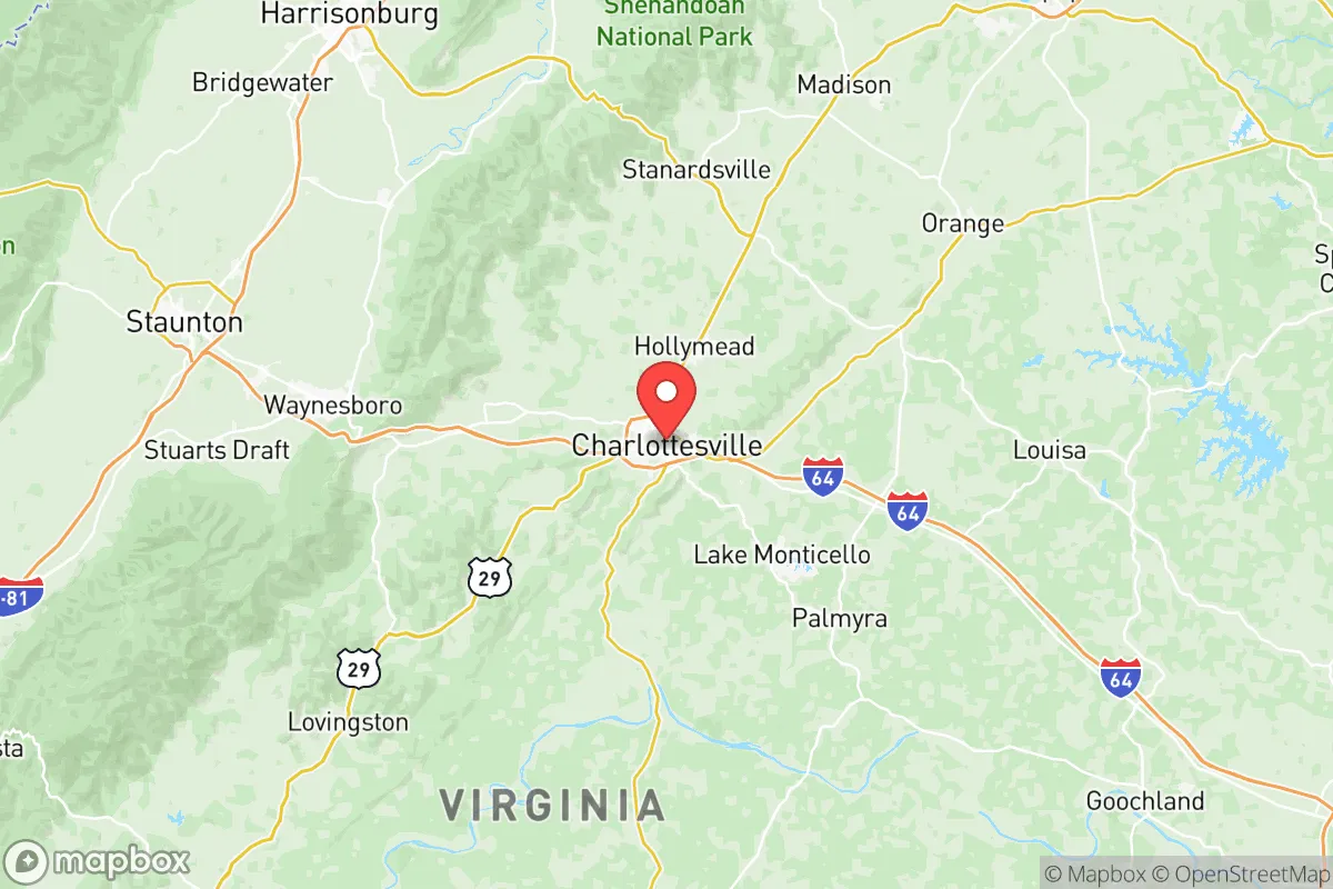
Strategic Assessment of Charlottesville City County
Meaningful friction. Expect exposure to either population pressure, blast zones, or natural disaster risk. Consider buying a retreat property.
What does the Strategic Assessment tell us?
Our Strategic Assessment grades tactical survivability of an area. Major population centers, military targets, fallout zones, natural disasters, and border exposure all drive risk — lower exposure means a more defensible position in a crisis.
This is heavily inspired by Joel Skousen's Strategic Relocation book. Highly recommended you checkout the book ($)What does this tell us?
Our Strategic Assessment grades tactical survivability of an area. Major population centers, military targets, fallout zones, natural disasters, and border exposure all drive risk — lower exposure means a more defensible position in a crisis.
This is heavily inspired by Joel Skousen's Strategic Relocation book. Highly recommended you checkout the book ($)Strategic Pillars

Key Distances
Strategic Assessment Analysis
Charlottesville City County, Virginia, offers a compelling blend of geographic resilience and strategic positioning for those prioritizing disaster readiness and self-sufficiency, though it is not without significant trade-offs. Nestled in the foothills of the Blue Ridge Mountains, the area benefits from a temperate climate, abundant natural resources, and a location that is far enough from major metropolitan targets to reduce—but not eliminate—exposure to fallout and secondary effects. For a relocator weighing long-term security against access to infrastructure, Charlottesville presents a nuanced picture: strong in natural defensibility and local food systems, but exposed to risks from its proximity to the Washington D.C. metroplex and critical transportation corridors.
Geographic position and natural advantages for long-term security
Charlottesville’s location in central Virginia places it roughly 70 miles southwest of Washington D.C., 70 miles northwest of Richmond, and about 120 miles from the Hampton Roads port complex—a major military and logistics hub. This distance provides a meaningful buffer from the immediate blast and fallout zones of a nuclear event targeting the nation’s capital or the Norfolk Naval Base, while still being within a day’s drive of those areas for pre-event evacuation or supply runs. The city itself sits in the Piedmont region, with the Blue Ridge Mountains to the west offering a natural barrier that can disrupt prevailing wind patterns carrying fallout. The surrounding Albemarle County and nearby Nelson County feature rolling hills, dense forests, and numerous small watersheds, which support decentralized water sources and make large-scale military or industrial targeting less likely. The area’s elevation—averaging around 500 feet—reduces flood risk compared to coastal Virginia, and its inland position means it is largely insulated from hurricane storm surge, though heavy rain events can cause localized flooding along the Rivanna River.
Risks, exposures, and proximity to fallout-relevant landmarks
The most significant risk for Charlottesville is its proximity to the Washington D.C. metropolitan area, a high-priority target for any strategic adversary. A ground burst or air burst over D.C. could produce fallout that, depending on wind direction, could reach Charlottesville within 4–6 hours. The city lies directly downwind of D.C. under prevailing westerly winds, meaning a major event could deposit radioactive particles across the region. Additionally, the I-64 and I-81 corridors—both within 20 miles of the city—are critical logistics routes that could become choke points or secondary targets. The North Anna Nuclear Generating Station, located about 40 miles southeast in Louisa County, presents a separate risk: a catastrophic failure or attack at that facility could force a large-scale evacuation or contamination zone that extends into Charlottesville’s eastern suburbs. On the man-made risk side, the city’s reliance on the I-64 bridge-tunnel at Hampton Roads for fuel and goods delivery creates a single-point-of-failure vulnerability; a disruption there would strain local supply chains. While Charlottesville is not near any major oil refineries or chemical plants, the presence of the University of Virginia (UVA) and its research facilities—including a biosafety level 3 lab—could make the area a secondary target for asymmetric attacks aimed at disrupting medical or academic infrastructure.
Practical resilience for a relocator: food, water, energy, and defensibility
For a relocator focused on self-sufficiency, Charlottesville offers strong fundamentals. The surrounding Piedmont region is one of Virginia’s most productive agricultural areas, with hundreds of small farms, orchards, and vineyards within a 30-minute drive. The city itself hosts multiple farmers’ markets year-round, and the local food co-op and grocery network (including Wegmans, Whole Foods, and Aldi) provide redundancy. Water access is above average: the Rivanna River and its tributaries run through the county, and the city’s water supply comes from the South Fork Rivanna Reservoir, which has a capacity of roughly 1.5 billion gallons. However, the reservoir is vulnerable to drought and sedimentation, and the water treatment plant is a single point of failure. For off-grid water, the Blue Ridge Mountains to the west contain numerous springs and streams, but access requires land ownership or permission. Energy resilience is mixed. Dominion Energy’s grid is reliable but centralized, and the area has seen increasing frequency of weather-related outages (winter storms, derechos). Solar adoption is growing, but local permitting can be slow, and the county’s tree canopy can limit rooftop solar efficiency. For defensibility, Charlottesville’s geography is a double-edged sword: the surrounding hills and forests provide natural cover and chokepoints, but the city itself is a compact urban core with limited escape routes (primarily I-64 and US-29). A determined group could secure a rural property in the western part of the county or in adjacent Nelson County, where road density drops and terrain becomes more rugged. The presence of the Virginia National Guard’s 116th Infantry Brigade at the nearby Fort Barfoot (formerly Fort Pickett, about 80 miles south) adds a layer of security, but also means military traffic and potential mobilization through the area.
Overall, Charlottesville City County occupies a middle ground in the strategic relocation landscape. It offers genuine advantages in natural resources, agricultural access, and distance from primary targets, but its proximity to Washington D.C., reliance on vulnerable infrastructure corridors, and exposure to fallout from a D.C. event are real concerns that cannot be dismissed. For a relocator who values a functioning community with hospitals, schools, and supply chains during normal times—and who is willing to invest in off-grid water, solar, and a rural retreat property within 30 minutes—Charlottesville can work as a base. But for those seeking a truly hardened, low-risk location with minimal exposure to national-level threats, the Shenandoah Valley further west or the mountainous counties of southwestern Virginia may offer a more defensible long-term posture. The key takeaway: Charlottesville is a resilient community in a crisis, but not a fortress. Plan accordingly.

* Values derived from national, state, county, city and local statistics and may differ in a specific area. Last updated: 2026-07-10T02:08:41.000Z
Narrative content on this page is AI-generated and may contain mistakes. Verify any details that matter before acting on them.
ReloMaps may earn a commission from affiliate links at no extra cost to you.

