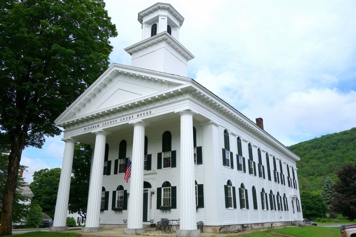
Photo: Wikipedia
Strategic Assessment of Windham County
Meaningful friction. Expect exposure to either population pressure, blast zones, or natural disaster risk. Consider buying a retreat property.
What does the Strategic Assessment tell us?
Our Strategic Assessment grades tactical survivability of an area. Major population centers, military targets, fallout zones, natural disasters, and border exposure all drive risk — lower exposure means a more defensible position in a crisis.
This is heavily inspired by Joel Skousen's Strategic Relocation book. Highly recommended you checkout the book ($)What does this tell us?
Our Strategic Assessment grades tactical survivability of an area. Major population centers, military targets, fallout zones, natural disasters, and border exposure all drive risk — lower exposure means a more defensible position in a crisis.
This is heavily inspired by Joel Skousen's Strategic Relocation book. Highly recommended you checkout the book ($)Strategic Pillars

Key Distances
Strategic Assessment Analysis
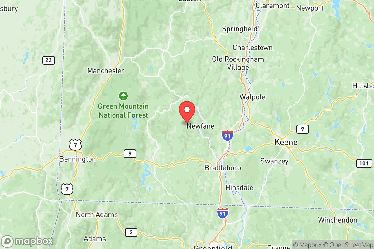
Windham County, Vermont, offers a compelling strategic profile for relocation-minded readers prioritizing resilience and self-sufficiency, balancing genuine geographic advantages with real-world exposure risks. Its position in the southeastern corner of the state, anchored by the towns of Brattleboro, Bellows Falls, and Wilmington, places it within a day’s drive of major Northeast population centers like Boston (about 100 miles) and New York City (about 175 miles), yet far enough removed to avoid the immediate fallout zones of those dense urban targets. The county’s rugged terrain, dense forests, and relatively low population density—roughly 44,000 residents spread across 798 square miles—create a natural buffer that appeals to those seeking a defensible, resource-rich environment away from the chaos of metropolitan collapse.
Geographic position and natural advantages for long-term security
Windham County sits in the Green Mountains, with elevations ranging from roughly 200 feet along the Connecticut River valley to over 3,000 feet at Stratton Mountain. This topography provides several strategic benefits: steep ridgelines and narrow valleys create natural choke points that slow movement and limit line-of-sight, while the extensive forest cover offers concealment and a renewable source of timber for fuel and construction. The county is bisected by the Connecticut River, which forms its eastern border and provides a reliable, year-round water source—critical for both drinking and agriculture. Key towns like Brattleboro (population ~12,000) and Bellows Falls (~3,000) sit along this river, offering access to water without the density of larger cities. The region’s cold winters (average January lows around 10°F) act as a natural deterrent to unprepared transient populations, while the short growing season (roughly 120 frost-free days) forces residents to plan ahead for food storage. The county’s distance from major military installations—nearest is the Vermont National Guard’s Camp Johnson in Colchester, about 120 miles north—reduces the likelihood of being caught in a direct conflict zone, though it also means slower federal response times in a crisis.
Risks, exposures, and proximity to fallout-relevant landmarks
Windham County’s primary strategic weakness is its proximity to several high-value targets within a 200-mile radius. The Vermont Yankee Nuclear Power Plant, located just across the river in Vernon (within the county), is a decommissioned facility but still holds spent fuel on-site—a potential radiological hazard if compromised by earthquake, sabotage, or conventional attack. The plant is roughly 5 miles south of Brattleboro. Further afield, the Boston metropolitan area (population 4.9 million) and the Portsmouth Naval Shipyard in Kittery, Maine (about 120 miles east) are plausible targets for nuclear or conventional strikes, with fallout patterns that could reach Windham County depending on wind direction. The county also lies within 150 miles of the New York City metro area and the Indian Point Energy Center (now decommissioned but with spent fuel storage) in Buchanan, New York. Natural risks include ice storms (the 1998 ice storm knocked out power for weeks in parts of the county), flooding along the Connecticut River and its tributaries (notably in Brattleboro and Bellows Falls), and the occasional nor’easter dumping 2-3 feet of snow. Earthquakes are rare but not impossible—the region sits near the Ramapo Fault system, though significant seismic activity is unlikely. The county’s mountainous terrain also limits road access; Interstate 91 and Route 9 are the primary arteries, and both can be blocked by landslides, snow, or debris, effectively isolating communities.
Practical resilience for a relocator: food, water, energy, and defensibility
For a relocator serious about self-sufficiency, Windham County offers strong fundamentals but requires upfront investment. Water is abundant: the Connecticut River, West River, and dozens of smaller streams and ponds provide year-round surface water, though treatment (boiling or filtration) is necessary for drinking. Groundwater is accessible via wells, with typical depths of 100-300 feet in the valleys. Food production is viable but limited: the county has about 400 farms, mostly small-scale dairy, vegetable, and maple syrup operations, concentrated in the Deerfield River valley and around Putney and Dummerston. The growing season is short, so cold-hardy crops (kale, potatoes, root vegetables) and greenhouse use are essential. Local food storage infrastructure is minimal—most grocery stores in Brattleboro and Wilmington carry 3-5 days of supply under normal conditions. Energy resilience is mixed: the county is served by Green Mountain Power, which has a strong grid but is vulnerable to ice storms and tree falls. Off-grid options are viable: solar potential is moderate (about 4.5 peak sun hours per day), and wood heating is common—roughly 30% of homes use wood as a primary or secondary heat source. The county has no major natural gas pipelines, so propane and heating oil are the norm for those without wood. Defensibility is high: the terrain naturally limits access, and the low population density means fewer people to compete with for resources. However, the county’s proximity to the I-91 corridor means it could see transient movement from the Boston-New York axis during a crisis. The local population is generally self-reliant and community-oriented, with a strong tradition of mutual aid (e.g., the Brattleboro Mutual Aid Network), but newcomers should plan to build relationships before a crisis hits. The county has no major police or military presence beyond the Vermont State Police barracks in Westminster, so law enforcement response times in rural areas can exceed 30 minutes.
The overall strategic picture for Windham County is one of moderate-to-high resilience with clear trade-offs. Its geographic isolation, abundant water, and defensible terrain make it a strong candidate for those willing to invest in off-grid infrastructure and accept a slower pace of life. The primary risks—proximity to the Vermont Yankee spent fuel site, vulnerability to ice storms, and potential fallout from Boston or New York—are real but manageable with proper planning (e.g., a fallout shelter with 2-3 feet of earth cover, a 3-month food supply, and a wood stove). For the conservative-leaning relocator who values self-sufficiency, community ties, and distance from urban chaos, Windham County ranks as a solid B+ option—not the safest in the nation, but far better than most of the Northeast corridor. The key is to act before a crisis, not during one.

* Values derived from national, state, county, city and local statistics and may differ in a specific area. Last updated: 2026-07-01T00:02:17.000Z
Narrative content on this page is AI-generated and may contain mistakes. Verify any details that matter before acting on them.
ReloMaps may earn a commission from affiliate links at no extra cost to you.

