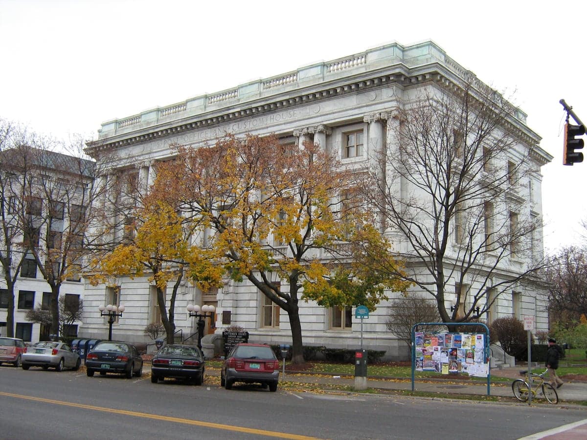
Photo: Wikipedia
Strategic Assessment of Chittenden County
Meaningful friction. Expect exposure to either population pressure, blast zones, or natural disaster risk. Consider buying a retreat property.
What does the Strategic Assessment tell us?
Our Strategic Assessment grades tactical survivability of an area. Major population centers, military targets, fallout zones, natural disasters, and border exposure all drive risk — lower exposure means a more defensible position in a crisis.
This is heavily inspired by Joel Skousen's Strategic Relocation book. Highly recommended you checkout the book ($)What does this tell us?
Our Strategic Assessment grades tactical survivability of an area. Major population centers, military targets, fallout zones, natural disasters, and border exposure all drive risk — lower exposure means a more defensible position in a crisis.
This is heavily inspired by Joel Skousen's Strategic Relocation book. Highly recommended you checkout the book ($)Strategic Pillars

Key Distances
Strategic Assessment Analysis
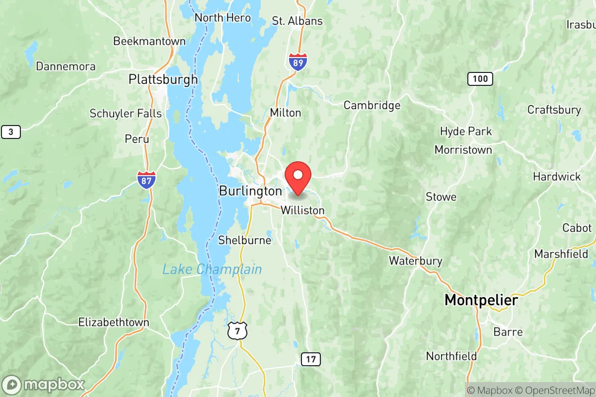
Chittenden County, Vermont, offers a compelling strategic profile for relocation-minded readers prioritizing resilience and self-sufficiency, balancing significant natural advantages with real, manageable risks. Its position in the Champlain Valley, roughly 45 miles south of the Canadian border and 90 miles from Montreal, places it far from major metropolitan fallout zones like New York City or Boston, while still providing access to regional infrastructure. The county’s core—Burlington, South Burlington, Essex, and Williston—sits in a basin shielded by the Green Mountains to the east and the Adirondacks to the west, creating a natural buffer against both weather extremes and man-made threats.
Geographic position and natural advantages for long-term stability
Chittenden County’s geography is its strongest asset for resilience. The county is anchored by Lake Champlain, the sixth-largest freshwater lake in the United States, providing an immense, renewable water source that is unlikely to be contaminated by upstream industrial activity. The surrounding Green Mountain National Forest and the Adirondack Park across the lake offer vast, sparsely populated buffer zones—hundreds of square miles of forested terrain that would absorb fallout from distant events and limit population movement into the area. The county’s elevation ranges from roughly 100 feet along the lake to over 1,000 feet in the eastern hills, meaning most settlements are in low-lying, fertile valleys rather than exposed ridgelines. This topography also mitigates the risk of tornadoes, which are rare in Vermont compared to the Plains or Southeast. Winters are harsh—average January lows in Burlington hover around 10°F—but this cold climate naturally reduces the viability of many biological threats and slows the spread of airborne contaminants. The county’s position far from any major oil refineries, nuclear power plants, or strategic military bases (the nearest active base is Camp Johnson in Colchester, a small Vermont National Guard facility) means it is not a primary target for any conventional conflict scenario.
Risks, exposures, and proximity to fallout-relevant landmarks
While Chittenden County is not a high-priority target, it is not immune to risks. The most significant man-made exposure is the Burlington International Airport in South Burlington, a civilian and military airfield that hosts the Vermont Air National Guard’s 158th Fighter Wing. In a conflict scenario, this base could become a secondary target, though its small size and lack of strategic bombers or nuclear weapons reduce its attractiveness. The county also sits within 200 miles of the Plattsburgh Air Force Base (now a civilian airport) in New York, which is decommissioned but still a potential landmark for fallout drift patterns. The Vermont Yankee Nuclear Power Plant in Vernon, 120 miles south, is permanently shut down and decommissioned, but its spent fuel storage remains a low-level concern. Natural risks are more immediate: the county lies in a seismic zone 2 (moderate earthquake risk), and the Champlain Valley has experienced minor quakes historically. Flooding is the primary natural hazard—the Winooski River runs through the county, and major floods in 2011 (Tropical Storm Irene) and 2023 (July flooding) caused significant damage in low-lying areas of Burlington, Winooski, and Richmond. The county’s proximity to Interstate 89 and Interstate 91 means that in a crisis, population movement from the Boston-to-Montreal corridor could funnel through the area, though the Green Mountains act as a natural choke point. For a relocator, the key takeaway is that Chittenden County’s risks are primarily environmental (flooding, winter storms) rather than man-made, and its distance from major fallout landmarks is a genuine advantage.
Practical resilience for a relocator: food, water, energy, and defensibility
For a reader serious about self-sufficiency, Chittenden County offers a mixed but workable picture. Water is abundant: Lake Champlain provides an inexhaustible surface supply, and the county’s groundwater aquifers are generally high-quality, though well drilling in the eastern hills can be expensive due to bedrock. The Burlington Water Department draws from the lake and treats it with chlorination, but a private well or a simple filtration system (e.g., Berkey or Sawyer) would be a prudent backup. Food production is viable but seasonal. The Champlain Valley has some of Vermont’s best agricultural soil, and the county is home to dozens of small farms, including the Intervale Center in Burlington, a 350-acre nonprofit farm hub. However, the growing season is short—roughly 120 frost-free days—so year-round food storage (canning, root cellaring, freeze-drying) is essential. The county’s local food infrastructure is strong: the Burlington Farmers Market operates year-round, and the City Market/Onion River Co-op in downtown Burlington is a well-stocked grocery cooperative. For energy, the county is served by Green Mountain Power, which has invested heavily in grid resilience, including microgrids and battery storage. Solar is viable, though winter cloud cover reduces output; a small solar array with battery backup (e.g., Tesla Powerwall) is a realistic investment. Wood heat is common—many homes in the county have wood stoves or pellet boilers, and firewood is readily available from local suppliers. Defensibility is moderate. The county’s population density is low by national standards (roughly 200 people per square mile in Burlington, dropping to under 50 in rural areas like Hinesburg or Huntington), but the terrain is not easily fortified. The Green Mountains to the east and the lake to the west create natural barriers, but the valley floor is open and accessible via multiple roads. A relocator would want to choose a property with good sightlines, a reliable water source, and a defensible perimeter—properties in the eastern hill towns (e.g., Richmond, Huntington, Bolton) offer more seclusion than those in the Burlington metro area.
Overall, Chittenden County presents a strong strategic option for a relocation-minded reader who values resilience without extreme isolation. Its greatest strengths are its abundant freshwater, low risk of man-made targeting, and robust local food and energy infrastructure. Its weaknesses are the short growing season, flood risk in low-lying areas, and the potential for population influx from the I-89 corridor during a crisis. For a family or individual willing to invest in winter preparedness, flood mitigation, and a modest off-grid energy setup, the county offers a balanced mix of safety and access to community resources. It is not a bunker—it is a working landscape with real vulnerabilities—but for a reader thinking seriously about disaster readiness, it ranks well above most suburban or urban alternatives in the Northeast.

* Values derived from national, state, county, city and local statistics and may differ in a specific area. Last updated: 2026-07-18T17:10:11.000Z
Narrative content on this page is AI-generated and may contain mistakes. Verify any details that matter before acting on them.
ReloMaps may earn a commission from affiliate links at no extra cost to you.

