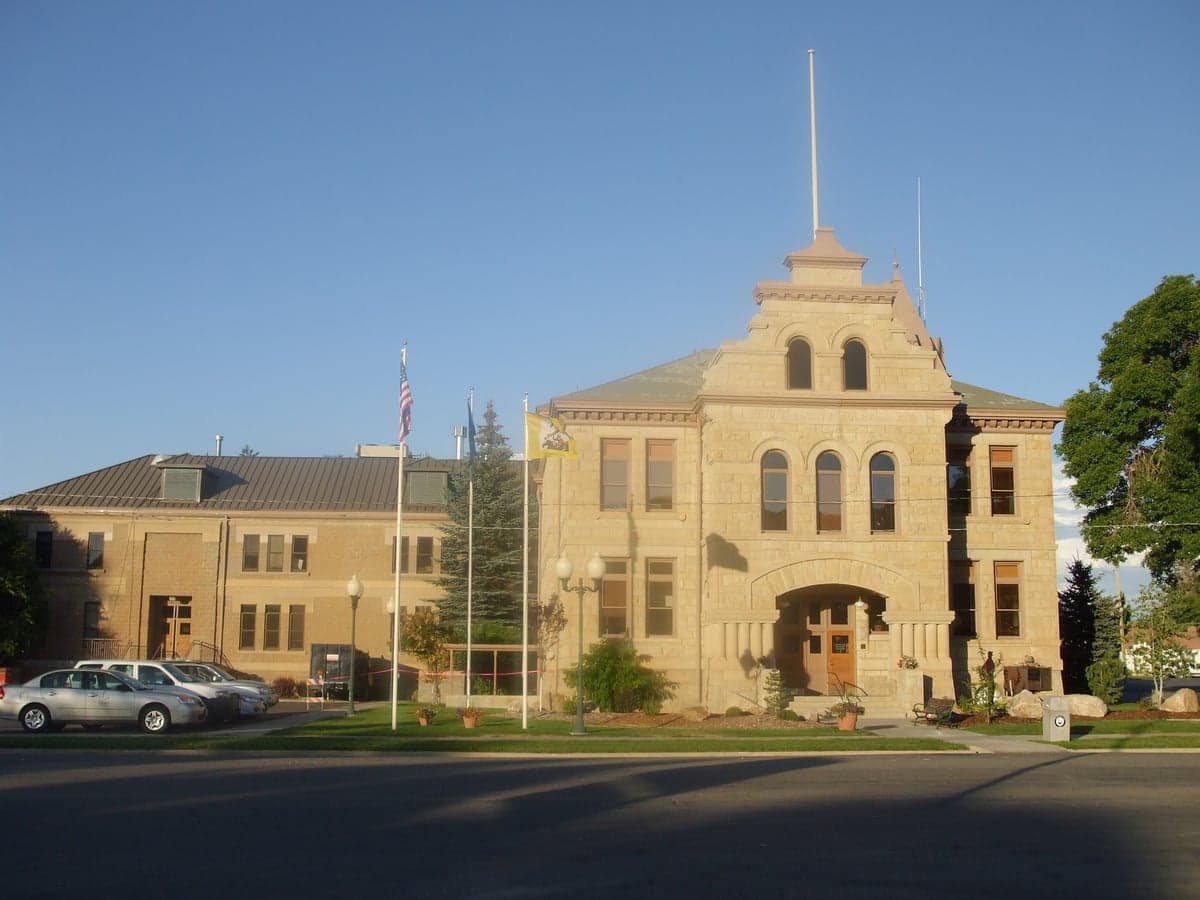
Photo: Wikipedia
Strategic Assessment of Summit County
Strong survivability profile. Good buffer from population centers, with manageable environmental and tactical risks.
What does the Strategic Assessment tell us?
Our Strategic Assessment grades tactical survivability of an area. Major population centers, military targets, fallout zones, natural disasters, and border exposure all drive risk — lower exposure means a more defensible position in a crisis.
This is heavily inspired by Joel Skousen's Strategic Relocation book. Highly recommended you checkout the book ($)What does this tell us?
Our Strategic Assessment grades tactical survivability of an area. Major population centers, military targets, fallout zones, natural disasters, and border exposure all drive risk — lower exposure means a more defensible position in a crisis.
This is heavily inspired by Joel Skousen's Strategic Relocation book. Highly recommended you checkout the book ($)Strategic Pillars

Key Distances
Strategic Assessment Analysis
Summit County, Utah, offers a compelling mix of geographic isolation and practical access that appeals to relocation-minded individuals and families prioritizing long-term resilience. Its location in the Wasatch Range, roughly 30 miles east of Salt Lake City, provides a buffer from the urban core while keeping critical supply routes and medical facilities within reach. The county’s high elevation, varied topography, and relatively low population density create a natural defensive posture that is rare in the Intermountain West, making it a serious candidate for those evaluating disaster readiness and self-sufficiency.
Geographic position and natural advantages for long-term stability
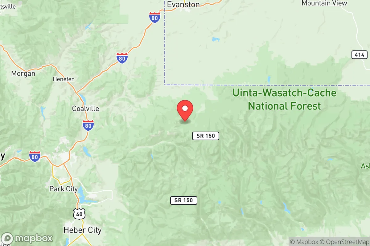
Summit County sits at the intersection of the Uinta-Wasatch-Cache National Forest and the Uinta Mountains, giving it a commanding position over the eastern edge of the Wasatch Front. The county’s terrain is dominated by high mountain valleys, with the town of Park City at roughly 7,000 feet and Coalville, the county seat, at 5,600 feet. This elevation provides a natural cooling effect and reduces the risk of many lowland hazards. The area is also a headwaters region for the Weber and Provo Rivers, meaning water originates here rather than flowing in from potentially compromised downstream sources. For a relocator, this translates to a degree of water security: the county’s snowpack acts as a natural reservoir, and the Echo Reservoir and Rockport Reservoir offer additional storage and emergency supply options. The surrounding national forest lands also provide a buffer against suburban sprawl and create a defensible perimeter, particularly along the eastern and southern boundaries. The county’s position along Interstate 80 is a double-edged sword—it offers a direct route to Salt Lake City for supplies or evacuation, but it also means the area is a transit corridor. However, the mountain passes on either side (Parley’s Canyon to the west, Echo Canyon to the east) can be easily monitored or blocked, giving residents a tactical advantage in a grid-down scenario.
Risks, exposures, and proximity to fallout-relevant landmarks
No area is without risk, and Summit County’s primary vulnerabilities stem from its proximity to the Wasatch Front’s population and industrial centers. The most significant man-made risk is the Kennecott Copper Mine (Bingham Canyon Mine), located roughly 40 miles southwest of Park City. This is one of the largest open-pit mines in the world, and while it is not a nuclear facility, its tailings ponds and chemical processing operations represent a potential industrial hazard in the event of a seismic event or infrastructure failure. More critically, the county lies within the fallout shadow of Hill Air Force Base, located about 50 miles northwest near Ogden. Hill AFB is a major logistics and maintenance hub for the U.S. Air Force, including the F-35 program, and is a high-priority target in any conflict scenario. The prevailing winds in the region generally blow from west to east, meaning that a strike on Hill AFB could push fallout into the Wasatch Back, including Summit County. The county’s mountain ridges offer some shielding, but valleys like the Snyderville Basin (home to Park City’s main residential areas) could be vulnerable to drifting particulates. Additionally, the Salt Lake City International Airport and the oil refineries along the Wasatch Front (primarily in North Salt Lake and Woods Cross) are potential secondary targets. For a relocator, the key takeaway is that Summit County is not a zero-risk zone—it sits within the blast and fallout radius of several high-value assets. However, its distance (30-50 miles) and the intervening mountain terrain provide more protection than communities directly adjacent to these sites. The county’s seismic risk is moderate, with the Wasatch Fault capable of a magnitude 7.0 or greater earthquake. This could disrupt I-80 and the rail lines through Echo Canyon, potentially isolating the county for days. Landslides and avalanches are localized hazards, particularly along the Mirror Lake Highway (UT-150) and in the Uinta Mountains.
Practical resilience for a relocator: food, water, energy, and defensibility
For a family or individual serious about self-sufficiency, Summit County offers a mixed but workable picture. Water is the strongest asset: the county’s snowmelt feeds numerous creeks and springs, and many rural properties have access to wells or shared irrigation ditches. The Weber River runs through Coalville and provides a reliable surface water source, though treatment would be necessary. Food production is limited by the short growing season (roughly 60-90 days at higher elevations) and thin, rocky soils. However, the lower valleys around Oakley and Kamas have more arable land, and there is a small but active community of local farmers and ranchers. The county’s agricultural output is primarily hay and livestock, so a relocator would need to plan for greenhouse growing or stockpiling. The Summit County Farmers Market in Park City is a good indicator of local food availability, but it is seasonal. Energy is a concern: the county is served by Rocky Mountain Power, and the grid is vulnerable to winter storms and wildfire-related outages. Solar potential is excellent—the area averages over 200 sunny days per year—but snow cover in winter can reduce panel output. Battery storage and a backup generator (preferably dual-fuel) are strongly recommended. Defensibility is where Summit County shines. The terrain is naturally chokepoint-rich: the main access routes (I-80, UT-224, UT-248) all pass through narrow canyons that can be monitored or blocked. The county’s population is spread across several distinct communities—Park City, Coalville, Kamas, Oakley, and Henefer—which reduces the risk of a single point of failure. The local sheriff’s office and volunteer fire departments are well-regarded, and the county has a history of cooperative disaster response, particularly during the 2020 wildfires and the 2022 avalanche cycle. For a relocator, the ideal setup would be a property in the Kamas Valley or along the Weber River corridor, with a well, solar array, and a defensible perimeter. Park City itself, while affluent and well-supplied, is more exposed due to its density and reliance on tourism infrastructure.
The overall strategic picture for Summit County is one of calculated trade-offs. It is not a remote bunker location—it is a high-altitude community with real exposure to industrial and military targets along the Wasatch Front. But for a relocator who wants to stay within a few hours of a major city (Salt Lake City) while maintaining a strong defensive posture and access to natural water, it is one of the better options in the region. The key is to avoid the tourist-heavy corridors and focus on the agricultural valleys and smaller towns where self-sufficiency is more feasible. The county’s resilience is not automatic; it requires planning, investment in off-grid infrastructure, and a realistic understanding of the risks. For those willing to do the work, Summit County offers a defensible, water-rich, and strategically positioned base that balances isolation with access—a rare combination in the modern West.

* Values derived from national, state, county, city and local statistics and may differ in a specific area. Last updated: 2026-11-17T23:42:16.000Z
Narrative content on this page is AI-generated and may contain mistakes. Verify any details that matter before acting on them.
ReloMaps may earn a commission from affiliate links at no extra cost to you.

