Photo: Wikipedia
Strategic Assessment of Union City, CA
Multiple tactical vulnerabilities. Population density, target proximity, or disaster risk are likely compounding. A retreat property and exit planning is required.
What does the Strategic Assessment tell us?
Our Strategic Assessment grades tactical survivability of an area. Major population centers, military targets, fallout zones, natural disasters, and border exposure all drive risk — lower exposure means a more defensible position in a crisis.
This is heavily inspired by Joel Skousen's Strategic Relocation book. Highly recommended you checkout the book ($)What does this tell us?
Our Strategic Assessment grades tactical survivability of an area. Major population centers, military targets, fallout zones, natural disasters, and border exposure all drive risk — lower exposure means a more defensible position in a crisis.
This is heavily inspired by Joel Skousen's Strategic Relocation book. Highly recommended you checkout the book ($)Strategic Pillars

Key Distances
Regional Safe Places
Below is our recommended "safe zones" in California and the surrounding area based on our strategic heuristics. For most people, it's unrealistic to live in a “safe zone” full-time due to work, family or other personal reasons. They tend to be more rural. However, many of these areas are perfect for second homes and retreat properties that double as a vacation home or even a short-term rental.




Important Note: For informational purposes only. This does not mean nothing bad ever happens in the green zones. Please use common sense. This is based on public data and modeled with AI. We tried to take a conservative approach but mistakes happen. We update this regularly as new information becomes available.
Solar Generator Recommendations
Backup power matters more here than in safer locations. We've picked three solar generators across budgets and capacity tiers — start with the budget unit if you only need a few essentials, or step up if you want to run a fridge and HVAC for days at a time.

Jackery Portable Power Station Explorer 300
Budget OptionPower on the Go: Weighing only 11 lbs, it's convenient to set up and store with book-sized foldable solar panels

BLUETTI Portable Power Station AC180
Designed for both indoor and outdoor scenarios, AC180 is highly capable as it has a robost capacity and continuous output power.

EF ECOFLOW DELTA Pro Ultra Power Station
Upgraded PickEcoFlow DELTA Pro Ultra is a whole-home energy system designed to grow with your family. Integrated with the Smart Home Panel 2, it scales to meet your evolving energy needs — keeping your home powered, intelligent, and secure through every stage of life.
We earn a commission, at no additional cost to you.
Strategic Assessment Analysis
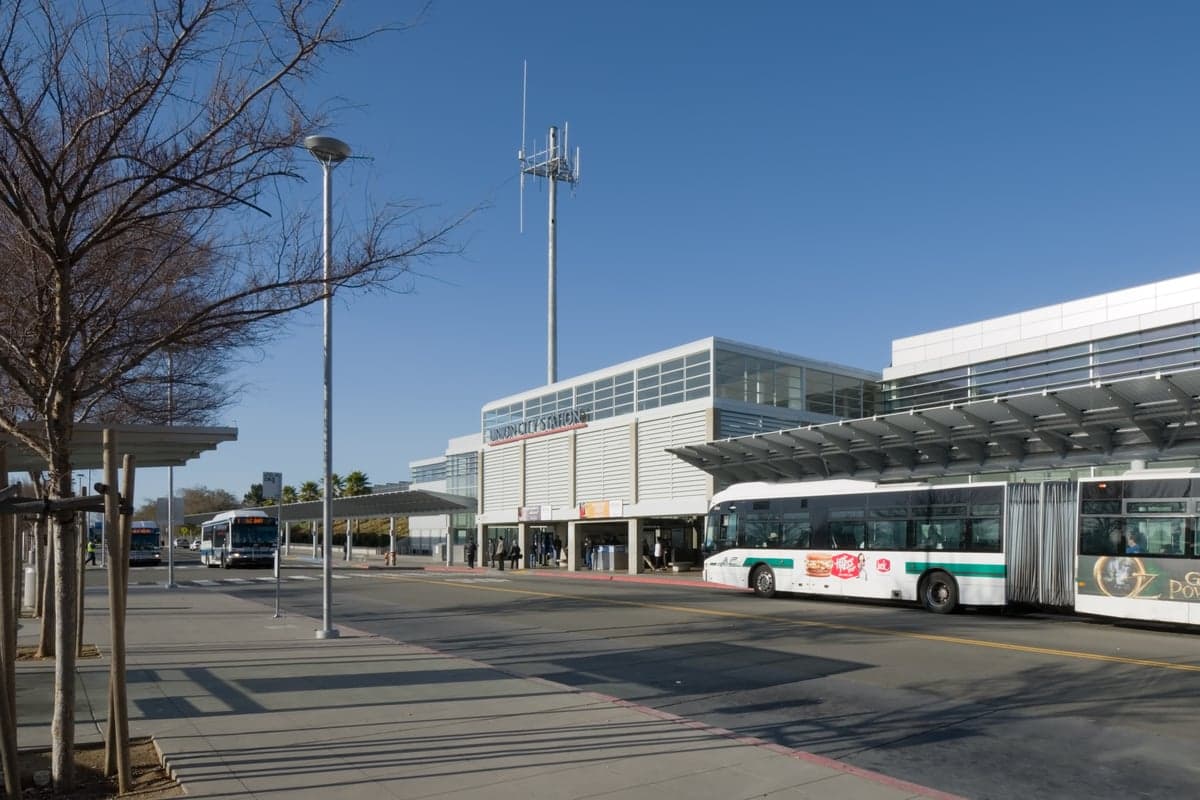
Union City, California, occupies a strategic position in the eastern San Francisco Bay Area that offers a mixed resilience profile for a relocator focused on disaster readiness and self-sufficiency. Its location at the intersection of major transportation corridors and its distance from the immediate coastline provide some natural advantages, but its proximity to dense urban centers and critical infrastructure introduces significant vulnerabilities. For a conservative-leaning individual or family weighing long-term security, Union City presents a trade-off between access to resources and exposure to concentrated risk.
Geographic position and natural advantages for disaster readiness
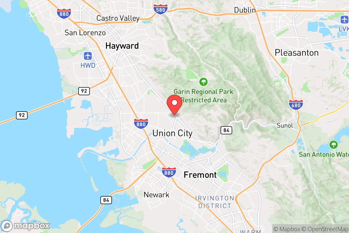
Union City sits on the eastern shore of San Francisco Bay, roughly 20 miles southeast of San Francisco and 15 miles north of San Jose. Its position along the Interstate 880 corridor places it within a dense web of highways, rail lines, and the San Francisco Bay Ferry system, which could be both a lifeline and a liability. The city's elevation ranges from sea level along the bay to about 100 feet in the eastern hills, offering some natural drainage but no significant high-ground refuge. The nearby Coyote Hills Regional Park and the Don Edwards San Francisco Bay National Wildlife Refuge provide open space that could serve as buffer zones or potential evacuation routes, though they are not defensible terrain. The region's Mediterranean climate—with dry summers and mild, wet winters—means water scarcity is a recurring concern, but the area does not face the same wildfire risk as the inland hills or the Sierra foothills. The San Andreas Fault runs about 10 miles west, and the Hayward Fault is roughly 5 miles east, placing Union City in a zone of moderate seismic hazard. The city's soil composition, largely alluvial and bay mud, amplifies shaking during earthquakes, a factor that should weigh heavily in any structural preparedness plan.
Risks, exposures, and proximity to fallout-relevant landmarks
The most significant risk for a Union City relocator is its proximity to high-value, high-density targets in the Bay Area. The city lies within 10 miles of the Port of Oakland, a major shipping hub and potential military logistics node, and within 15 miles of the San Francisco International Airport and the Oakland International Airport. The nearby cities of Fremont and Hayward host numerous tech campuses and research facilities, including Tesla's Fremont factory and several biotech firms, which could be secondary targets in a conflict scenario. The San Mateo-Hayward Bridge, a critical transportation link, is less than 5 miles north, and the Dumbarton Bridge is about 8 miles south. These bridges are chokepoints that could become impassable during an evacuation or crisis. Union City itself is not a primary target, but its location within the blast and fallout radius of a strike on San Francisco or Oakland is a serious consideration. The prevailing westerly winds would carry fallout from a bay-side detonation directly over the city. Additionally, the city's industrial corridor along the bay includes chemical storage facilities and a wastewater treatment plant, which could release hazardous materials during an earthquake or infrastructure failure. The nearby San Francisco Bay itself is a potential source of tsunami inundation from a distant-source event, though the risk is low compared to coastal communities.
Practical resilience for a relocator: food, water, energy, and defensibility
For a relocator seeking self-sufficiency, Union City's practical resilience is limited by its urban character and reliance on centralized systems. The city's water supply comes from the Hetch Hetchy Regional Water System, which delivers Sierra Nevada snowmelt via a 167-mile aqueduct. This system is vulnerable to earthquake damage, and a major rupture could leave the city without potable water for weeks. Local groundwater is brackish and not suitable for drinking without treatment. The city's food supply is entirely dependent on the regional distribution network; there are no significant agricultural zones within city limits, though the nearby Livermore Valley and the Central Coast produce some food. The city has several large grocery stores and a farmers' market, but these would be depleted rapidly in a crisis. Energy infrastructure is similarly centralized: Pacific Gas & Electric (PG&E) provides electricity and natural gas, and the city has no local power generation or microgrids of note. Solar adoption is moderate, but battery storage is not widespread. Defensibility is poor: Union City is a flat, suburban grid of single-family homes and apartment complexes, with no natural chokepoints or elevated positions. The city's population density of roughly 6,500 people per square mile means that any prolonged crisis would lead to competition for resources and potential civil unrest. The city's police force is small, and the Alameda County Sheriff's Office would be stretched thin in a regional emergency. For a relocator serious about preparedness, Union City would require significant investment in on-site water storage, backup power, and a robust security plan. The city's building codes are modern, but most homes are wood-frame construction, which offers little protection against blast or fallout.
The overall strategic picture for Union City is one of moderate convenience but low resilience for a disaster-focused relocator. Its location provides access to jobs, healthcare, and supplies in normal times, but those same connections become liabilities in a crisis. The city's exposure to earthquake risk, its proximity to high-value targets, and its dependence on fragile infrastructure systems make it a less-than-ideal choice for someone prioritizing long-term security and self-sufficiency. For a conservative-leaning individual or family, the trade-off might be acceptable if they are willing to invest heavily in preparedness measures and maintain a low profile. However, for those seeking a more defensible, resource-independent location, the inland valleys or the Sierra foothills would offer better options. Union City is a place to live, not a place to ride out a collapse.

* Values derived from national, state, county, city and local statistics and may differ in a specific area. Last updated: 2026-09-05T18:01:00.000Z
Narrative content on this page is AI-generated and may contain mistakes. Verify any details that matter before acting on them.
ReloMaps may earn a commission from affiliate links at no extra cost to you.

