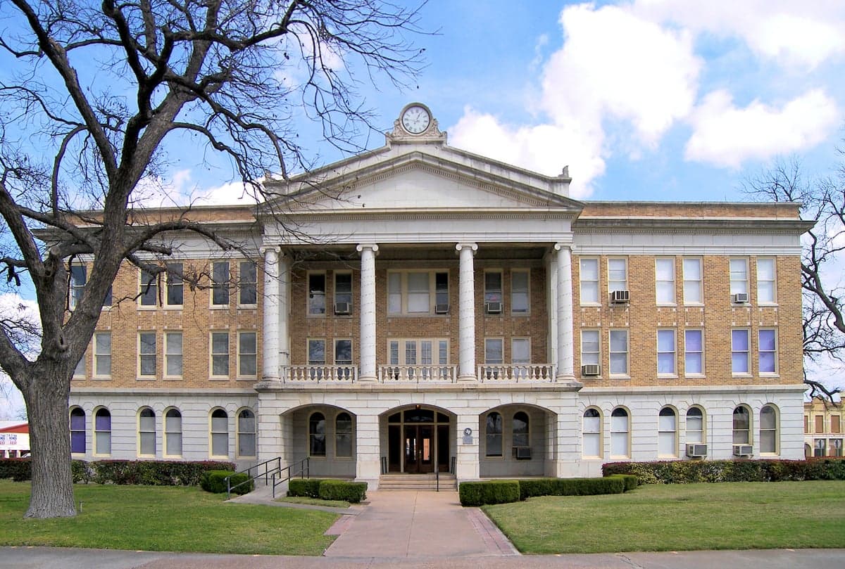
Photo: Wikipedia
Strategic Assessment of Uvalde County
Workable tactical position. Some exposure to population density or targets, but generally defensible in a crisis.
What does the Strategic Assessment tell us?
Our Strategic Assessment grades tactical survivability of an area. Major population centers, military targets, fallout zones, natural disasters, and border exposure all drive risk — lower exposure means a more defensible position in a crisis.
This is heavily inspired by Joel Skousen's Strategic Relocation book. Highly recommended you checkout the book ($)What does this tell us?
Our Strategic Assessment grades tactical survivability of an area. Major population centers, military targets, fallout zones, natural disasters, and border exposure all drive risk — lower exposure means a more defensible position in a crisis.
This is heavily inspired by Joel Skousen's Strategic Relocation book. Highly recommended you checkout the book ($)Strategic Pillars

Key Distances
Strategic Assessment Analysis
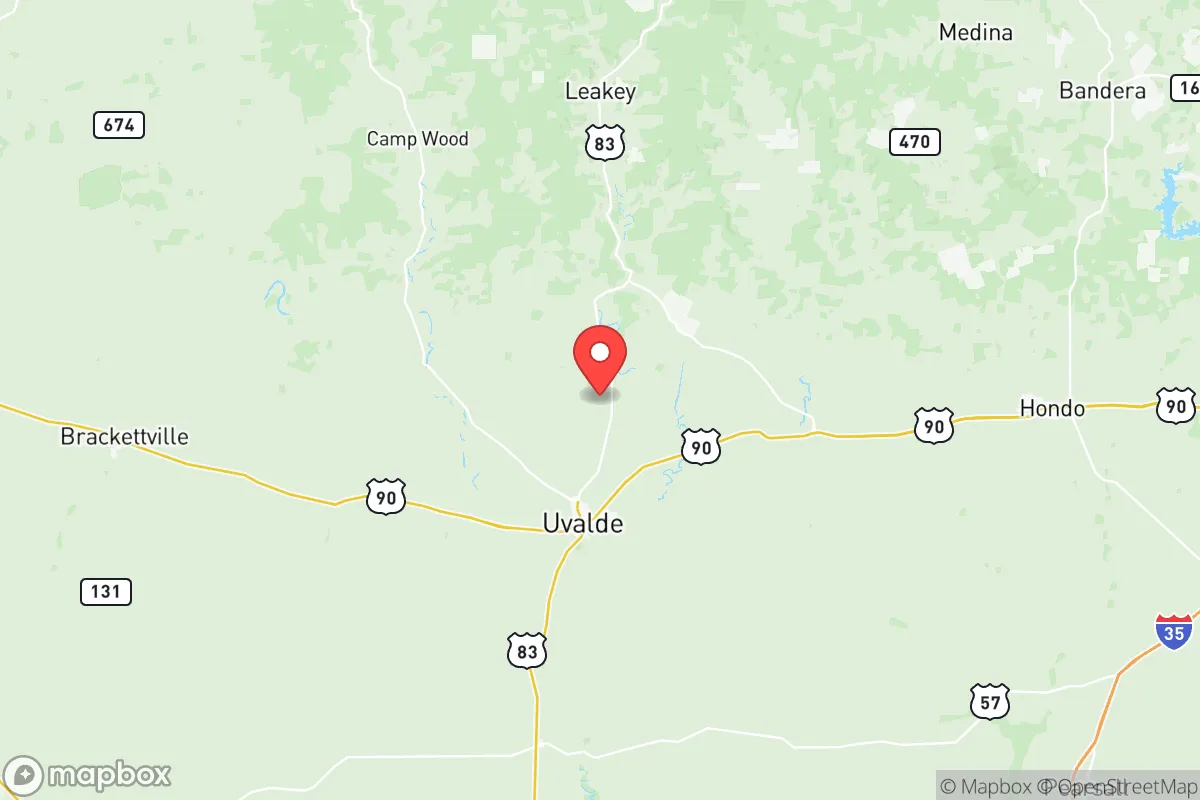
Uvalde County offers a distinctive strategic position for relocation-minded readers: it sits far enough from Texas's major metropolitan corridors to avoid their congestion and target profiles, yet close enough to San Antonio (about 80 miles east) to access medical and supply networks when needed. The county's resilience story is built on its rural character, its position along the southern edge of the Texas Hill Country, and a community that has demonstrated remarkable recovery capacity in the face of tragedy. For a single individual or family weighing disaster preparedness alongside daily livability, Uvalde County presents a mixed but genuinely workable picture—one that rewards those who come prepared rather than expecting the infrastructure of a suburb.
Geographic position and natural advantages for self-sufficiency
Uvalde County anchors the southwestern edge of the Texas Hill Country, where the Balcones Escarpment begins its rise from the South Texas Plains. The county seat, Uvalde, sits at roughly 900 feet elevation, with the terrain becoming increasingly rugged and wooded as you move north toward the communities of Utopia and Concan along the Frio River. That elevation gradient matters for resilience: it means better drainage, cooler summer nights, and natural defensive terrain compared to the flat, flood-prone coastal plains to the south.
The Frio River and the Nueces River both run through the county, providing surface water sources that are rare in much of West Texas. The Edwards Aquifer recharge zone runs through the northern portion of the county, which means well water is generally accessible and of good quality—a significant advantage for anyone planning to live off municipal supply. The county's agricultural heritage, centered on ranching and pecan orchards, means local food production is not hypothetical; the Uvalde area has working farms, livestock operations, and the Texas A&M AgriLife Research and Extension Center located in the city itself, which has been studying drought-resistant crops and water conservation for over a century.
Population density works in the county's favor. Uvalde County has roughly 25,000 residents spread across 1,557 square miles, giving it a density of about 16 people per square mile. The city of Uvalde holds the majority of that population, with smaller communities like Sabinal, Knippa, and Batesville offering even more sparsely populated alternatives. For a relocator seeking space, privacy, and the ability to establish a self-sufficient homestead, the county offers land prices substantially below the Texas average, particularly outside the immediate Uvalde city limits.
Risk exposure and proximity to fallout-relevant landmarks
No location in Texas is entirely free of risk, and Uvalde County has its own specific exposures that a serious relocator should weigh. The most significant natural risk is drought and extreme heat; the region has experienced prolonged dry spells, and the 2011 Texas drought hit Uvalde County particularly hard, with agricultural losses in the tens of millions. Wildfire risk exists in the Hill Country portions of the county, especially in the juniper and oak woodlands north of Uvalde, though it is less severe than in the pine forests of East Texas. Flash flooding along the Frio and Nueces rivers is a real but localized hazard, primarily affecting low-lying riverfront properties rather than the county as a whole.
On the man-made risk side, Uvalde County's relative isolation is a double-edged sword. The county has no nuclear power plants, no major refineries, and no large-scale industrial complexes within its borders—the largest employers are the Uvalde Consolidated Independent School District, the county government, and the Uvalde Memorial Hospital. The nearest significant military installation is Lackland Air Force Base in San Antonio, roughly 80 miles east, which is a potential target in a conflict scenario but far enough away that fallout patterns would likely not reach Uvalde County under prevailing westerly winds. The same distance applies to the Port of Corpus Christi and the refinery corridor along the Gulf Coast, both of which are strategic targets but sit 120-150 miles away.
The more immediate concern is the border. Uvalde County sits about 60 miles north of the U.S.-Mexico border at Eagle Pass, and the county has seen increased cartel-related activity and border security operations in recent years. Checkpoints on U.S. Highway 90 and U.S. Highway 83 are routine, and the Border Patrol presence is significant. For a relocator, this means occasional traffic delays and a visible law enforcement presence, but it also means the county is not a soft target—federal resources are concentrated in the area. The 2022 tragedy at Robb Elementary School in Uvalde is a sobering reminder that rural communities are not immune to violence, and the community's ongoing recovery has strengthened local emergency response capabilities.
Practical resilience for a relocator: food, water, energy, and defensibility
For the reader serious about preparedness, Uvalde County's practical resilience profile is genuinely strong, with caveats. Water is the county's greatest asset and its greatest vulnerability. The Edwards Aquifer provides reliable groundwater for wells, and the Frio River offers surface water, but the region is in a long-term drought cycle, and water rights are a complex legal matter in Texas. A relocator should verify well depth and yield before purchasing property, and should plan for rainwater harvesting as a supplement—the county receives roughly 24 inches of annual rainfall, enough to support a well-designed catchment system for non-potable uses.
Food security is achievable but requires effort. The county has a strong ranching culture, and locally raised beef, pork, and poultry are available through direct-from-rancher sales and the Uvalde Farmers Market. Pecan orchards are abundant, and the region's climate supports substantial home vegetable gardens for most of the year. However, the county has no major food distribution centers, and grocery supply chains depend on trucking from San Antonio; a prolonged disruption would require genuine self-sufficiency rather than a quick trip to the store. Serious relocators should plan for at least a 30-day food reserve, which is feasible given the prevalence of rural storage and the relatively low cost of bulk staples in the area.
Energy resilience is a mixed picture. Uvalde County is served by the Electric Reliability Council of Texas (ERCOT) grid, which has demonstrated vulnerability to winter storms—the February 2021 freeze left much of the county without power for days. However, the region's solar potential is excellent, with over 260 sunny days per year, and off-grid solar installations are increasingly common in the Hill Country. Natural gas is available in the Uvalde area, and propane is widely used in rural areas. For defensibility, the county's low population density, rugged terrain, and limited road access points—primarily U.S. 90, U.S. 83, and State Highway 55—make it easier to control movement than a suburban or urban environment. The community is also armed and self-reliant in the Texas tradition, with a strong hunting culture and a sheriff's office that maintains a visible presence in rural areas.
The overall strategic picture for Uvalde County is one of genuine opportunity tempered by real trade-offs. The county offers what few remaining places in Texas do: affordable land, reliable water access, a working agricultural economy, and enough distance from major strategic targets to provide meaningful buffer in a crisis. The drawbacks are equally real—drought risk, border proximity, ERCOT grid vulnerability, and a rural healthcare system that is adequate for routine care but requires a 90-minute drive to San Antonio for specialized treatment. For the relocator who comes prepared, with well-verified water access, a food reserve, and a willingness to invest in solar or backup power, Uvalde County is a defensible, sustainable choice. For those expecting suburban convenience with rural charm, it will disappoint. The county rewards competence and punishes complacency—which is precisely what a serious resilience-minded relocator should be looking for.

* Values derived from national, state, county, city and local statistics and may differ in a specific area. Last updated: 2026-10-31T04:48:06.000Z
Narrative content on this page is AI-generated and may contain mistakes. Verify any details that matter before acting on them.
ReloMaps may earn a commission from affiliate links at no extra cost to you.

