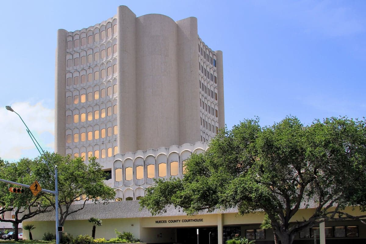
Photo: Wikipedia
Strategic Assessment of Nueces County
Multiple tactical vulnerabilities. Population density, target proximity, or disaster risk are likely compounding. A retreat property and exit planning is required.
What does the Strategic Assessment tell us?
Our Strategic Assessment grades tactical survivability of an area. Major population centers, military targets, fallout zones, natural disasters, and border exposure all drive risk — lower exposure means a more defensible position in a crisis.
This is heavily inspired by Joel Skousen's Strategic Relocation book. Highly recommended you checkout the book ($)What does this tell us?
Our Strategic Assessment grades tactical survivability of an area. Major population centers, military targets, fallout zones, natural disasters, and border exposure all drive risk — lower exposure means a more defensible position in a crisis.
This is heavily inspired by Joel Skousen's Strategic Relocation book. Highly recommended you checkout the book ($)Strategic Pillars

Key Distances
Strategic Assessment Analysis
Nueces County, anchored by Corpus Christi, presents a mixed strategic picture for the relocation-minded reader focused on resilience and self-sufficiency. Its primary advantage is a coastal location that buffers it from the sprawling urban density and industrial fallout corridors of Houston and Dallas, yet it sits directly adjacent to the largest concentration of petrochemical refining capacity in the Western Hemisphere. The county’s resilience profile is defined by a trade-off: significant geographic separation from major strategic targets, counterbalanced by its own status as a critical energy and port infrastructure hub.
Geographic position and natural advantages for strategic relocation
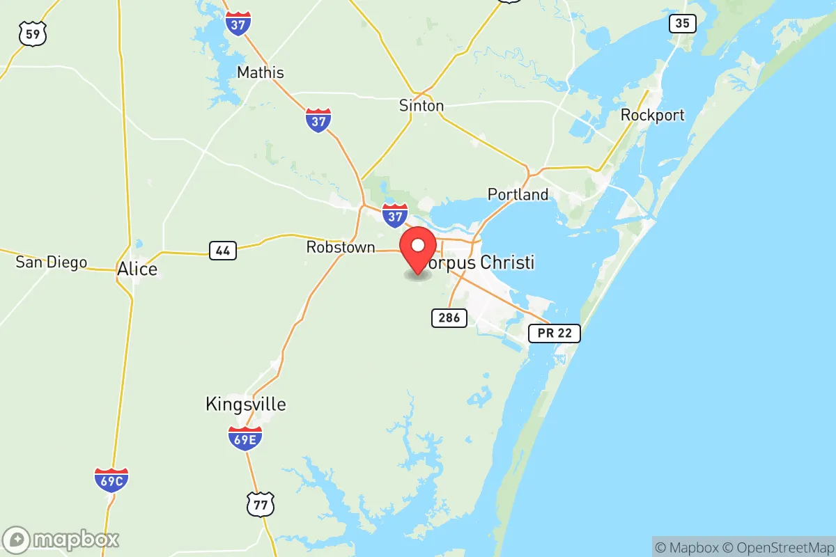
Nueces County occupies a distinct position on the Texas Gulf Coast, roughly 150 miles south of the Houston metropolitan area and 120 miles north of the U.S.-Mexico border at Brownsville. This placement offers a meaningful buffer from the primary fallout zones associated with a major incident in the Houston Ship Channel or the Dallas-Fort Worth metroplex. The county’s interior, particularly areas west of Corpus Christi Bay such as the towns of Robstown and Bishop, sits on relatively flat coastal plains that are not directly downwind of any single major industrial complex. The presence of the Laguna Madre and the Corpus Christi Bay provides a natural water barrier to the east, limiting approach vectors from the Gulf. The region’s climate is semi-arid, averaging roughly 30 inches of rainfall annually, which reduces the risk of flooding compared to areas further east like Houston, though hurricane storm surge remains a genuine threat for properties within a few miles of the coast. The county’s position also places it within a reasonable driving distance—under three hours—from the King Ranch and the vast, sparsely populated ranchlands of South Texas, which could serve as a secondary retreat zone if needed.
Risks, exposures, and proximity to fallout-relevant landmarks
The most significant risk factor for Nueces County is its own critical infrastructure. The Port of Corpus Christi is the largest U.S. energy export port by tonnage, handling crude oil, refined products, and liquefied natural gas. The county is home to three major oil refineries—the Citgo Corpus Christi Refinery (West Side), the Valero Corpus Christi Refinery (near the port), and the Flint Hills Resources Refinery (West Side)—which collectively process over 700,000 barrels of crude oil per day. These facilities, along with the associated tank farms and pipeline terminals, represent high-value, high-risk targets in any conflict scenario. A direct strike or major industrial accident at any one of these sites could render large portions of the county uninhabitable for weeks or months due to toxic plumes and fire. Additionally, the county lies within the Texas Coastal Bend, a region that experiences hurricane landfalls with some regularity. The 2017 Hurricane Harvey caused catastrophic flooding in the area, particularly in Port Aransas and the barrier islands, though the mainland cities of Corpus Christi and Robstown fared better due to their elevation (roughly 40-60 feet above sea level). The presence of the Naval Air Station Corpus Christi and the Army Depot at Corpus Christi (a major ammunition storage and demilitarization facility) adds a military dimension to the risk profile, though these are lower-priority targets compared to the refineries.
Practical resilience for a relocator: food, water, energy, and defensibility
For a relocator prioritizing self-sufficiency, Nueces County offers a mixed bag. Water availability is a genuine concern. The region relies heavily on the Nueces River and the Choke Canyon Reservoir system, which are subject to drought conditions. Groundwater from the Gulf Coast Aquifer is available but often brackish and requires treatment for potable use. Rainwater harvesting is viable given the semi-arid climate, but a household would need significant storage capacity to bridge dry spells. Food production is more promising. The county’s agricultural history is strong, with the Robstown area known for cotton, grain sorghum, and livestock. Small-scale farming and ranching are feasible on the county’s loamy soils, particularly west of Interstate 37. The presence of the Corpus Christi Farmers Market and multiple local producers indicates a growing local food network, though a relocator should plan to establish their own garden and possibly small livestock (chickens, goats) for true self-sufficiency. Energy resilience is a standout advantage. The county is a net energy exporter, with natural gas-fired power plants and growing solar capacity. The Corpus Christi area has excellent solar insolation (over 5.0 kWh/m²/day), making rooftop solar a highly effective investment. The local grid is interconnected but not as fragile as the ERCOT system further north; the presence of industrial loads means the infrastructure is built to higher standards. Defensibility is moderate. The flat terrain offers little natural cover, but the county’s population density is low outside the city limits—roughly 100 people per square mile in the unincorporated areas. The Bishop and Driscoll areas, in particular, offer rural properties with good sightlines and limited access points. The county’s law enforcement presence is concentrated in Corpus Christi, leaving rural areas with longer response times, which could be an advantage for a prepared individual but a risk for those relying on external security.
Overall, Nueces County offers a viable but not ideal strategic relocation option for the disaster-ready reader. Its greatest strength is its separation from the primary urban-industrial corridors of Texas, combined with strong local energy production and agricultural potential. Its greatest weakness is its own critical infrastructure—the refineries and port—which create a localized risk profile that is difficult to mitigate through personal preparedness alone. A relocator would need to choose a property carefully, ideally west of Interstate 37 and at least 15 miles inland from the refineries, to balance access to the county’s resources with distance from its primary hazards. For those willing to invest in rainwater catchment, solar power, and a defensible rural homestead, the area offers a reasonable foundation for long-term resilience, provided they accept the inherent risks of living near a major energy export hub.

* Values derived from national, state, county, city and local statistics and may differ in a specific area. Last updated: 2026-06-17T15:31:05.000Z
Narrative content on this page is AI-generated and may contain mistakes. Verify any details that matter before acting on them.
ReloMaps may earn a commission from affiliate links at no extra cost to you.

