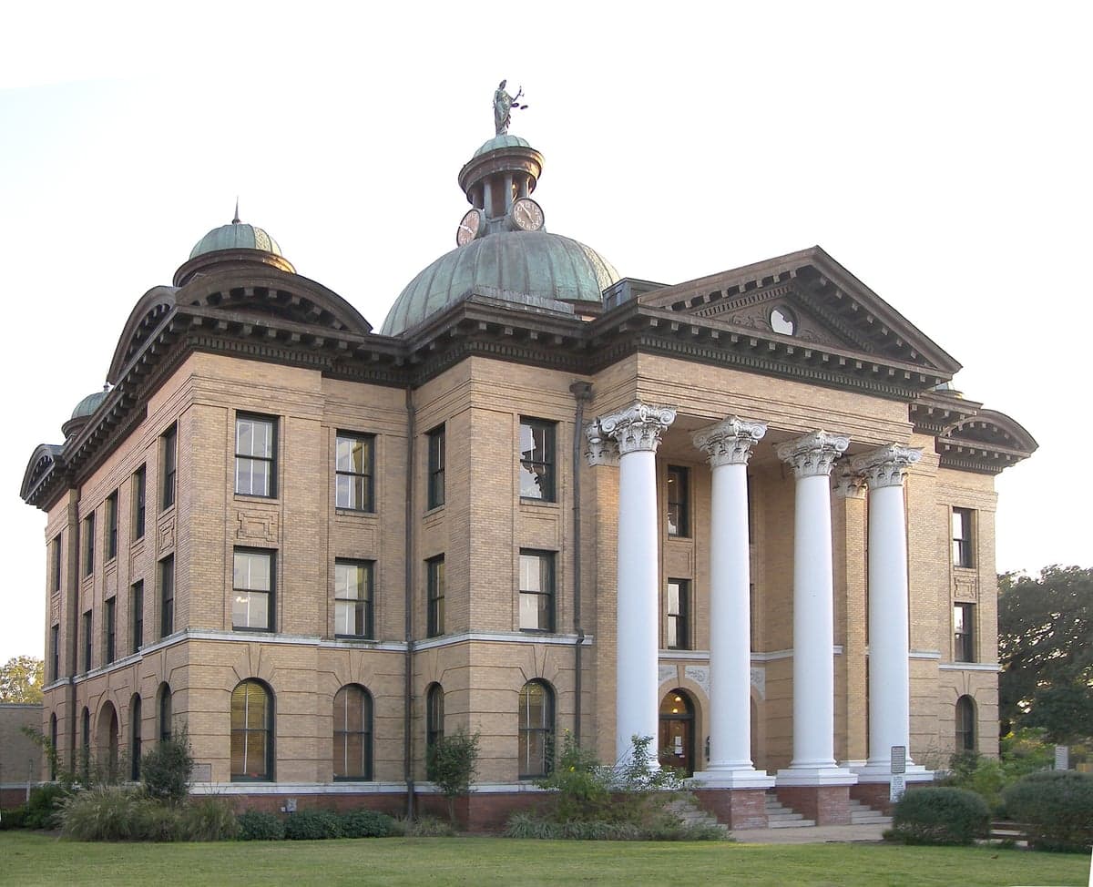
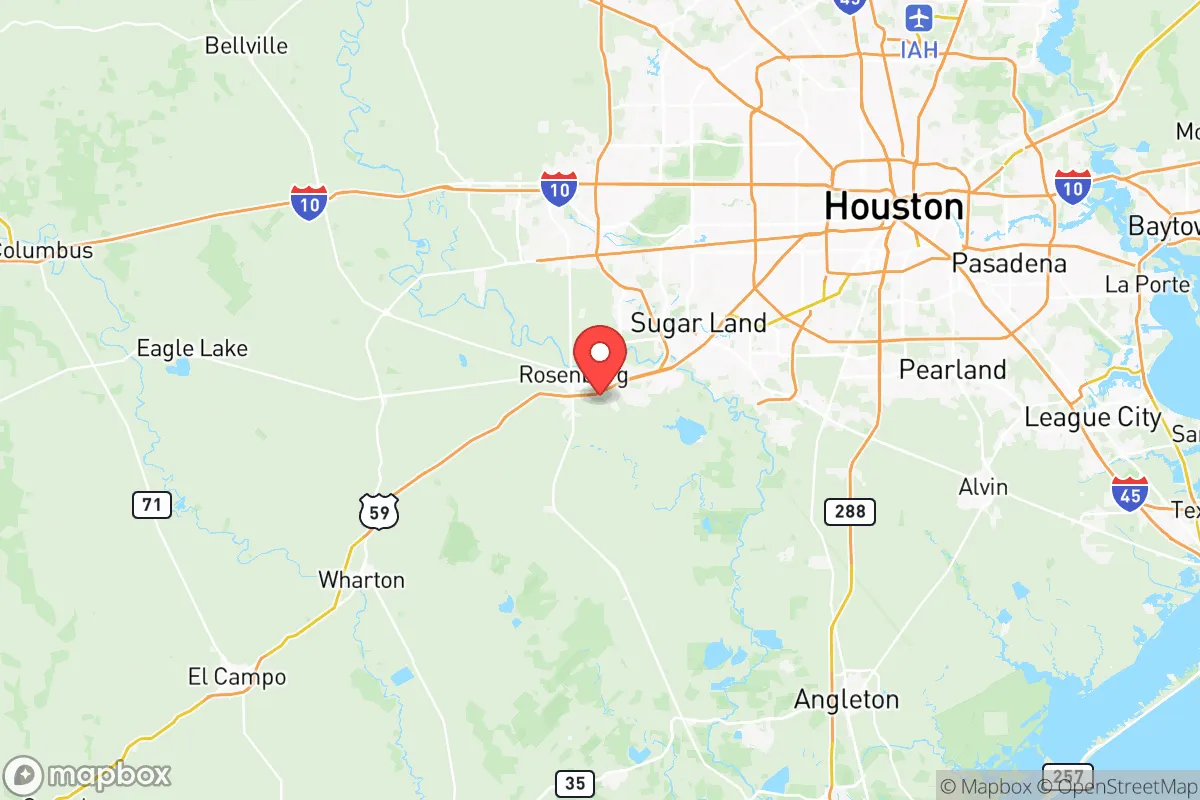
Photo: Wikipedia
Quality of Life in Fort Bend County
A livable area that tracks near national norms for affordability, walkability, and neighborhood health.
What does Quality of Life tell us?
Quality of Life measures an area by evaluating factors like cost of living, nearby amenities, country club access, airport proximity, socioeconomic signals and neighborhood character. For large states, this is a general average — quality of life can vary dramatically between metro areas, suburbs, and rural communities within the same state.
What does this tell us?
Quality of Life measures an area by evaluating factors like cost of living, nearby amenities, country club access, airport proximity, socioeconomic signals and neighborhood character. For large states, this is a general average — quality of life can vary dramatically between metro areas, suburbs, and rural communities within the same state.
Cost of Living
41% above national average
113%
The Real Cost of Living in Fort Bend County for 2026
| Tier | Individual | Family (4) |
|---|---|---|
| Survival | $28k | $53k |
| Comfortable | $68k | $100k |
| Luxury | $180k+ | $279k+ |
| Elite (Top 5%) | $212k+ | $329k+ |
Quality-of-Life Analysis
Fort Bend County offers a genuine spectrum of living experiences, from master-planned suburban hubs to historic small towns and still-active agricultural land, all within an hour of downtown Houston. The county's character shifts noticeably between its eastern edge—where Sugar Land and Missouri City form a continuous corridor of corporate parks and golf course communities—and its western reaches, where towns like Fulshear and Simonton maintain a slower pace with newer developments steadily filling the gaps. Young professionals and families with school-age children cluster in the county's larger towns for top-ranked schools and commute access, while retirees, commuters seeking acreage, and agricultural workers gravitate toward the smaller communities and unincorporated areas where land prices remain more accessible.
Largest town(s) & population centers
Sugar Land remains the county's most prominent population center, a city of roughly 118,000 that functions as an employment anchor with headquarters for organizations like Imperial Sugar and Fluor Corporation. Daily life in Sugar Land revolves around its highly rated Fort Bend ISD schools, the 800-acre Sugar Land Memorial Park, and the Town Square retail and dining district. Missouri City, immediately east, is the second-largest incorporated city with about 75,000 residents; it shares Fort Bend ISD for much of its area and offers more modestly priced homes, particularly around the older Lake Olympia and Riverstone neighborhoods. To the north, Rosenberg (population ~39,000) serves as a working-class counterpoint, with a historic downtown along the BNSF railway and a stronger industrial employment base. Katy’s portion within Fort Bend County—chiefly the Cinco Ranch and Seven Meadows master-planned communities—runs along the county's northern boundary; these areas are built entirely around new construction, HOA-managed amenities, and access to Katy ISD schools that rival Sugar Land's in test scores. Commute times here average 33 minutes countywide, though residents in eastern Sugar Land and Missouri City often shave five to ten minutes off that figure, while those in western Katy or Fulshear may push toward 40 minutes on IH-10 or Grand Parkway.
Smaller towns & rural pockets
West of the US-59 corridor, a different Fort Bend emerges. Fulshear (population ~26,000) has exploded from a few hundred residents in 2000 into a fast-growing suburb, yet its western fringes retain ranch-style properties on one- to five-acre lots, particularly around the unincorporated Cross Creek Ranch area. Simonton, a town of barely 800 people, sits further west on FM 1093 and offers a genuine rural feel with no stoplights and local hay farms operating alongside new subdivisions. Needville, with about 3,100 residents, has a walkable main street anchored by the county's second-largest high school (Needville High) and a strong agricultural-service economy. To the south, Pleak and Kendleton are tiny incorporated villages with populations under 1,500; Kendleton in particular has deep historic roots as a freedmen's settlement and remains largely undeveloped, with mostly acreage properties and no municipal schools—students here attend Lamar Consolidated ISD schools in Rosenberg. Unincorporated communities such as Arcola, Fresno, and Orchard are not cities themselves but official Census Designated Places that function as rural crossroads with small churches, volunteer fire departments, and scattered residential housing on well water and septic systems.
Cost & lifestyle range
The county's Cost of Living Index of 141 (41% above the national average) and median home value of $350,300 reflect the premium pricing in master-planned communities, but the range within the county is wide. At the high end, Sugar Land's Avalon, Telfair, and New Territory neighborhoods push median home values above $500,000, with some custom homes exceeding $1 million along the Brazos River levee. Monthly median rent of $1,770 in Sugar Land and Katy is the county's ceiling, driving many renters into older apartments in Rosenberg or Missouri City where two-bedroom units lease for around $1,200-$1,400. At the low end, Needville and Simonton still contain homes under $250,000, and unincorporated areas offer land parcels for $15,000-$30,000 per acre where buyers build with septic systems and private wells. Property tax rates hover around 2.3-2.8% of assessed value across the county, with the highest rates in Fort Bend ISD tax areas and lower rates in smaller districts like Needville ISD or Lamar Consolidated ISD. Lifestyle shifts accordingly: residents in Fulshear and Katy have access to dozens of new parks, splash pads, and trail systems created by MUD districts, while those in Simonton or Kendleton drive 15-20 minutes for grocery stores and rely on larger towns for medical services and entertainment.
This county works best for people who value school quality and commute convenience but accept that both come at a premium in the eastern and northern corridors. Families committed to highest-ranked school systems will gravitate toward Sugar Land, Katy, and Richmond, while those who want acreage, lower density, and lower purchase prices find their fit in Needville, Simonton, and the unincorporated western stretches. The county's internal diversity—from the 20,000-square-foot homes of Sugar Land's gated sections to the hundred-year-old farmhouses of Kendleton—means that a buyer can likely find a place here, but only by being clear about which end of the spectrum they can afford and which lifestyle trade-offs they are willing to make.

Crime in Fort Bend County
Crime rates similar to the national median for U.S. locations.
Violent CrimeViolent Crime Analysis
Property CrimeProperty Crime Analysis
Crime Analysis
Fort Bend County presents a mixed public safety profile relative to its rapid population growth and suburban Houston location. With a violent crime rate of 345.1 incidents per 100,000 residents and a property crime rate of 1,794.2 per 100,000, the county falls below the Texas statewide averages but above the safest suburban enclaves in the state. Residents in communities like Sugar Land and Fulshear generally report feeling safer than those in more urbanized areas such as Rosenberg or northwestern sections near Katy, where crime statistics show elevation.
Crime in context
Fort Bend County's violent crime rate of 345.1 per 100,000 is roughly 15% lower than the Texas statewide average of approximately 406 per 100,000 and slightly below the national average of around 380 per 100,000. The property crime rate of 1,794.2 per 100,000 is notably lower than the Texas average (around 2,200 per 100,000) and comparable to suburban counties in the Dallas-Fort Worth metroplex like Collin County. However, these figures mask significant internal variation. For context, major Texas cities like Houston and Dallas drive statewide averages upward with violent crime rates exceeding 800 per 100,000, while smaller suburban cities such as Frisco (about 100 per 100,000) or McKinney (about 150 per 100,000) represent the low end. Fort Bend County's numbers place it in a middle tier — safer than the core urban counties but not as insulated as the most affluent northern suburbs.
What residents experience
The character of crime in Fort Bend County differs markedly by jurisdiction and density. In the city of Sugar Land, a master-planned community of roughly 120,000 residents, violent crime rates hover around 150 per 100,000 — well below county and state averages — and property crime is similarly moderate. The suburb's proactive policing and higher median incomes correlate with lower victimization risk. Conversely, in the city of Rosenberg (population ~40,000), the violent crime rate exceeds 450 per 100,000, driven by higher rates of aggravated assault and robbery. Property crimes, particularly vehicle burglaries and package theft, are concentrated along the US 59/I-69 corridor and in unincorporated areas with less dense patrol coverage. Residents in neighborhoods near Missouri City report intermediate risk, with property crime being the primary concern. The county's District Attorney's office, operating under the 400th and 434th judicial districts, has a reputation for moderate prosecution rates. Progressive judicial philosophies in the region can result in lower incarceration rates and more diversion programs, potentially allowing repeat property offenders to cycle through the system more quickly. This is a particular concern for residents of areas like Stafford and Mission Bend, where transient populations and apartment complexes create higher vulnerability to theft and vandalism.
Neighborhood-level safety in Fort Bend County correlates strongly with housing density, income levels, and the presence of homeowners associations. Gated communities in Cinco Ranch (partially in Fort Bend County) and master-planned sections of Sienna report near-zero violent crime and only occasional property incidents. Meanwhile, older subdivisions along the Highway 6 corridor and apartment clusters near First Colony Mall see higher reports of car break-ins and occasional robberies. Progressive justice policies at the county level, including pretrial release programs and reduced bail schedules, have been criticized by public safety advocates for contributing to a rise in car theft rings operating across Harris and Fort Bend County lines. Residents considering a move to the area should examine crime maps at the subdivision level and consult local police department publicly available crime reports, particularly for areas within the unincorporated portions of the county where law enforcement response times may be longer.
* Values derived from national, state, county, city and local statistics and may differ in a specific area. Last updated: 2026-07-02T01:14:49.000Z
Narrative content on this page is AI-generated and may contain mistakes. Verify any details that matter before acting on them.
ReloMaps may earn a commission from affiliate links at no extra cost to you.

