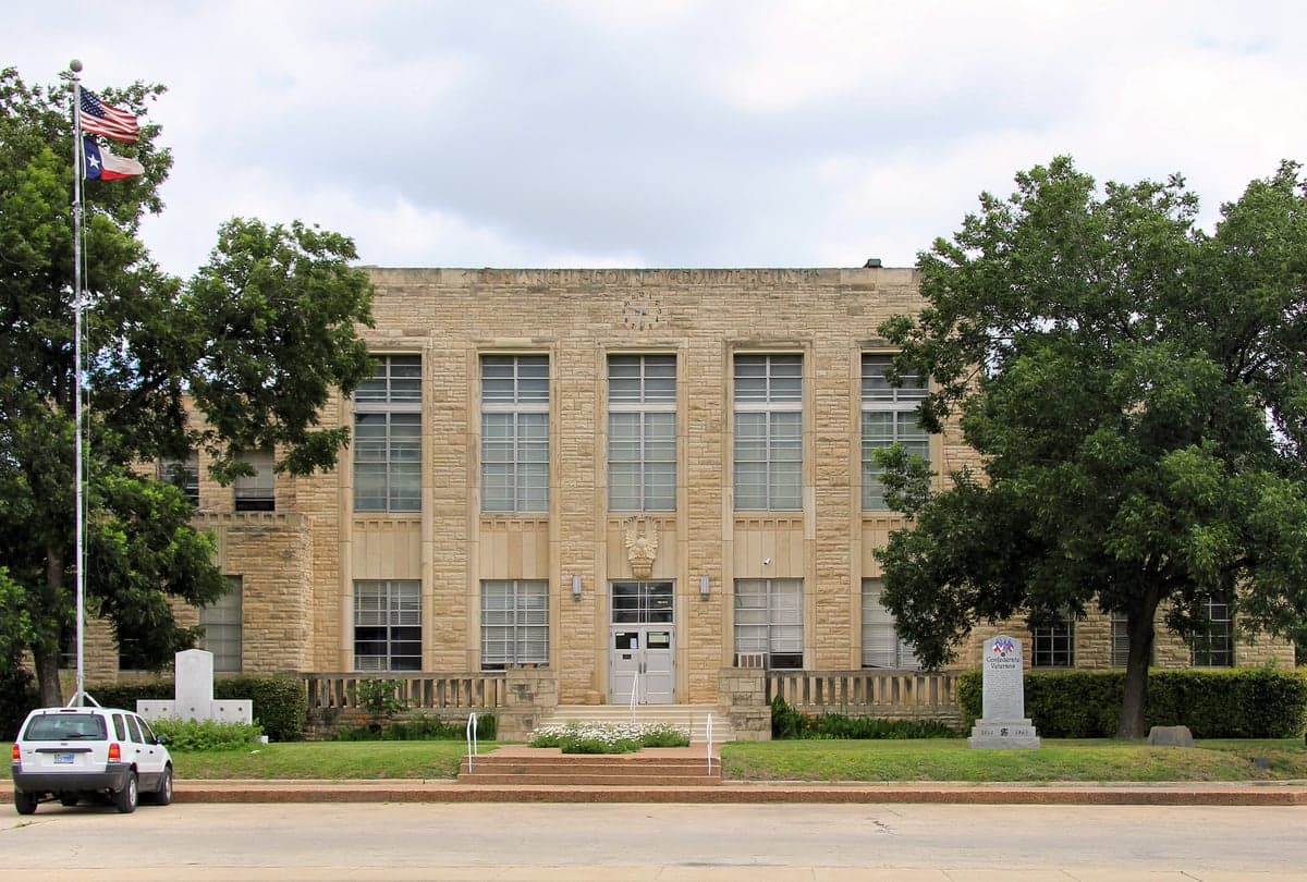
Photo: Wikipedia
Strategic Assessment of Comanche County
Workable tactical position. Some exposure to population density or targets, but generally defensible in a crisis.
What does the Strategic Assessment tell us?
Our Strategic Assessment grades tactical survivability of an area. Major population centers, military targets, fallout zones, natural disasters, and border exposure all drive risk — lower exposure means a more defensible position in a crisis.
This is heavily inspired by Joel Skousen's Strategic Relocation book. Highly recommended you checkout the book ($)What does this tell us?
Our Strategic Assessment grades tactical survivability of an area. Major population centers, military targets, fallout zones, natural disasters, and border exposure all drive risk — lower exposure means a more defensible position in a crisis.
This is heavily inspired by Joel Skousen's Strategic Relocation book. Highly recommended you checkout the book ($)Strategic Pillars

Key Distances
Strategic Assessment Analysis
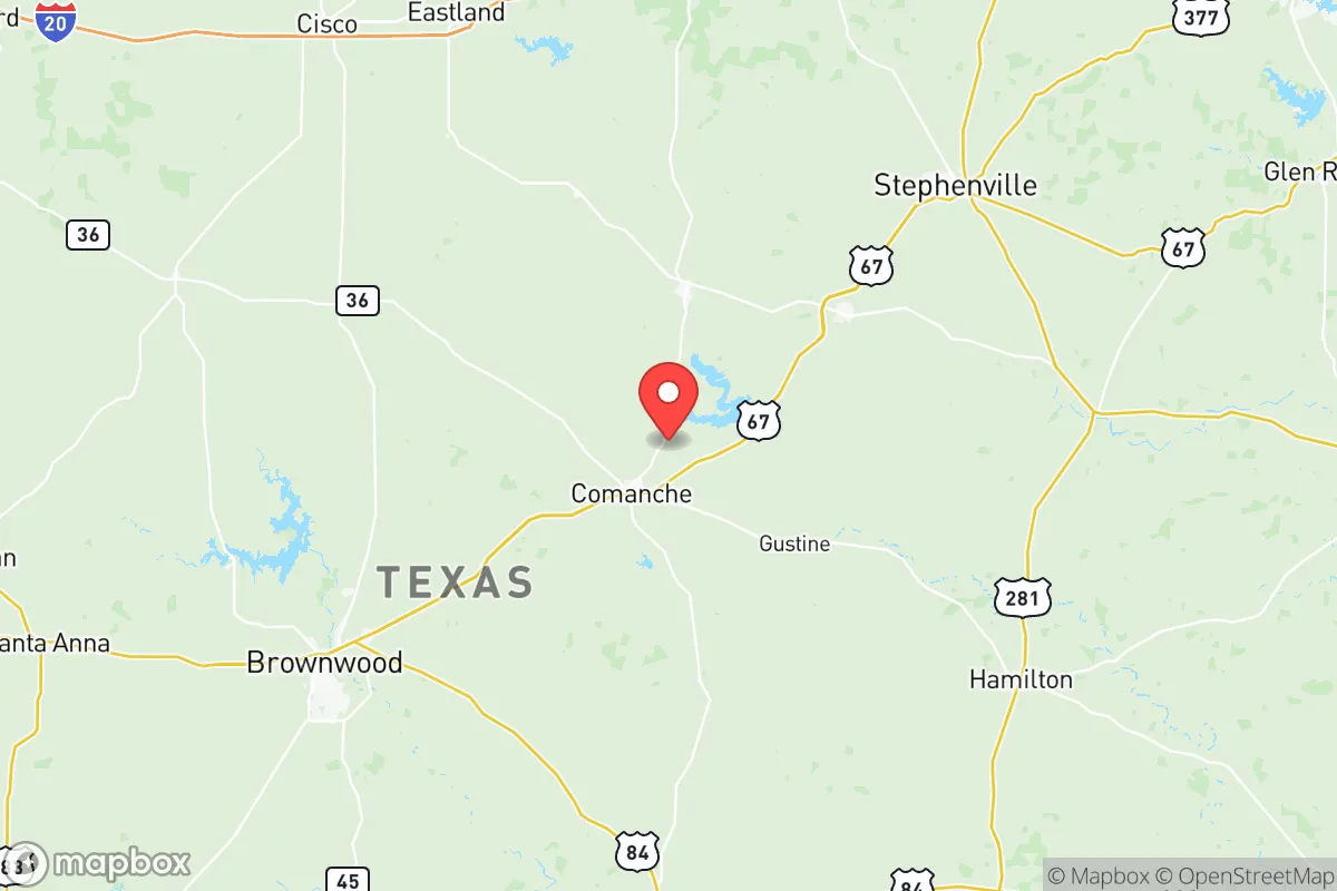
Comanche County, Texas, offers a strategic balance of rural self-sufficiency and practical access to regional infrastructure, making it a noteworthy option for relocation-minded individuals and families prioritizing resilience. Located roughly 90 miles southwest of Fort Worth and 120 miles north of Austin, the county sits at the intersection of U.S. Highway 67 and U.S. Highway 377, providing reliable evacuation routes in multiple directions. Its position in the Texas Hill Country’s western edge—away from major metropolitan blast zones, refinery corridors, and military targets—gives it a meaningful geographic buffer while still being within a day’s drive of essential services in Brownwood, Stephenville, or Abilene.
Geographic position and natural advantages for long-term stability
Comanche County’s terrain is a mix of rolling limestone hills, oak-juniper woodlands, and scattered prairies, which offers natural defensibility and water retention advantages. The county sits atop the Trinity Aquifer, with reliable groundwater depths averaging 100–300 feet, and the Leon River runs through the eastern portion, providing surface water access near the town of Comanche and Gustine. The area’s elevation—ranging from 1,200 to 1,600 feet—keeps it above the flood-prone coastal plains and reduces the risk of hurricane-related storm surge, a hazard that plagues counties closer to the Gulf. Winters are mild, with average January lows around 32°F, and summers are hot but dry, minimizing the risk of crop-killing humidity or mold issues in stored supplies. The county’s low population density—roughly 14 people per square mile—means fewer competition points for resources during a crisis, and the dispersed settlement pattern around towns like De Leon, Sidney, and Proctor makes it harder for any single disruption to affect the entire population.
Risks, exposures, and proximity to fallout-relevant landmarks
While Comanche County avoids the highest-risk zones, it is not without exposure. The county lies about 70 miles southwest of Fort Cavazos (formerly Fort Hood), one of the largest active-duty military installations in the U.S., which could be a primary target in a conflict scenario. Prevailing winds from the south and southwest mean that fallout from a strike on Fort Cavazos would likely drift northeast, away from Comanche County, but a shift in wind patterns or a secondary strike on the Brownwood Regional Airport (a potential military logistics hub) could pose a risk. The county also sits within 100 miles of the Comanche Peak Nuclear Power Plant near Glen Rose, though prevailing winds again favor dispersion away from the county. Natural risks include periodic drought—the county experienced severe drought conditions in 2022–2023—and the occasional wildfire, particularly in the juniper-heavy western areas. Tornado risk is moderate, with an average of 2–3 tornado warnings per year, but the open terrain means most storms are visible from a distance. The county has no major chemical plants, refineries, or ports, which is a net positive for a relocator seeking to avoid industrial accident zones.
Practical resilience for a relocator: food, water, energy, and defensibility
For a family or individual serious about self-sufficiency, Comanche County offers a strong baseline. Water access is the county’s standout advantage: the Trinity Aquifer provides consistent well yields of 10–50 gallons per minute at moderate depths, and the Leon River and Proctor Lake (a 4,500-acre reservoir) offer surface water for irrigation or emergency use. Rainwater harvesting is practical, with average annual rainfall of 28 inches, though supplementation from wells is recommended during dry spells. The county’s agricultural heritage means that local food production is viable: Comanche County ranks in the top 20% of Texas counties for cattle production, and there are active farmers’ markets in Comanche and De Leon. For energy, the area has growing solar potential—the county averages 5.2 peak sun hours per day—and many rural properties already use propane or diesel generators as backup. The terrain’s rolling hills and dense cedar breaks provide natural cover and defensible positions, particularly on larger parcels (20+ acres) where neighbors are not within sight. The county’s law enforcement presence is limited—the Comanche County Sheriff’s Office has roughly 12 patrol deputies for a 938-square-mile area—so personal security and community networks are essential. The local culture is heavily oriented toward hunting, ranching, and firearms ownership, which aligns with a preparedness mindset. Internet connectivity is improving, with fixed wireless and Starlink available in most areas, but cellular coverage remains spotty outside the town of Comanche—a trade-off that enhances privacy but requires satellite communication for reliable off-grid communication.
The overall strategic picture for Comanche County is one of moderate resilience with clear trade-offs. It avoids the acute risks of coastal hurricane zones, major refinery corridors (like Houston’s Ship Channel or the Texas City petrochemical complex), and high-density urban targets, while still offering access to regional medical care in Brownwood (30 minutes) and Abilene (1 hour). The county’s low property taxes (no county-level sales tax, and a property tax rate around $0.55 per $100 valuation) and relatively affordable land—$3,000–$6,000 per acre for raw acreage—make it financially accessible for a relocator building a homestead. However, the same remoteness that provides security also means longer response times for emergency services and limited supply chain redundancy. For a family willing to invest in well drilling, solar panels, and a community network of like-minded neighbors, Comanche County offers a defensible, resource-rich base that balances isolation with practical access to the outside world. It is not a bunker location, but it is a solid, livable choice for those who prioritize self-reliance over convenience.

* Values derived from national, state, county, city and local statistics and may differ in a specific area. Last updated: 2026-07-13T15:01:40.000Z
Narrative content on this page is AI-generated and may contain mistakes. Verify any details that matter before acting on them.
ReloMaps may earn a commission from affiliate links at no extra cost to you.

