
Photo: Wikipedia
Strategic Assessment of Brown County
Strong survivability profile. Good buffer from population centers, with manageable environmental and tactical risks.
What does the Strategic Assessment tell us?
Our Strategic Assessment grades tactical survivability of an area. Major population centers, military targets, fallout zones, natural disasters, and border exposure all drive risk — lower exposure means a more defensible position in a crisis.
This is heavily inspired by Joel Skousen's Strategic Relocation book. Highly recommended you checkout the book ($)What does this tell us?
Our Strategic Assessment grades tactical survivability of an area. Major population centers, military targets, fallout zones, natural disasters, and border exposure all drive risk — lower exposure means a more defensible position in a crisis.
This is heavily inspired by Joel Skousen's Strategic Relocation book. Highly recommended you checkout the book ($)Strategic Pillars

Key Distances
Strategic Assessment Analysis
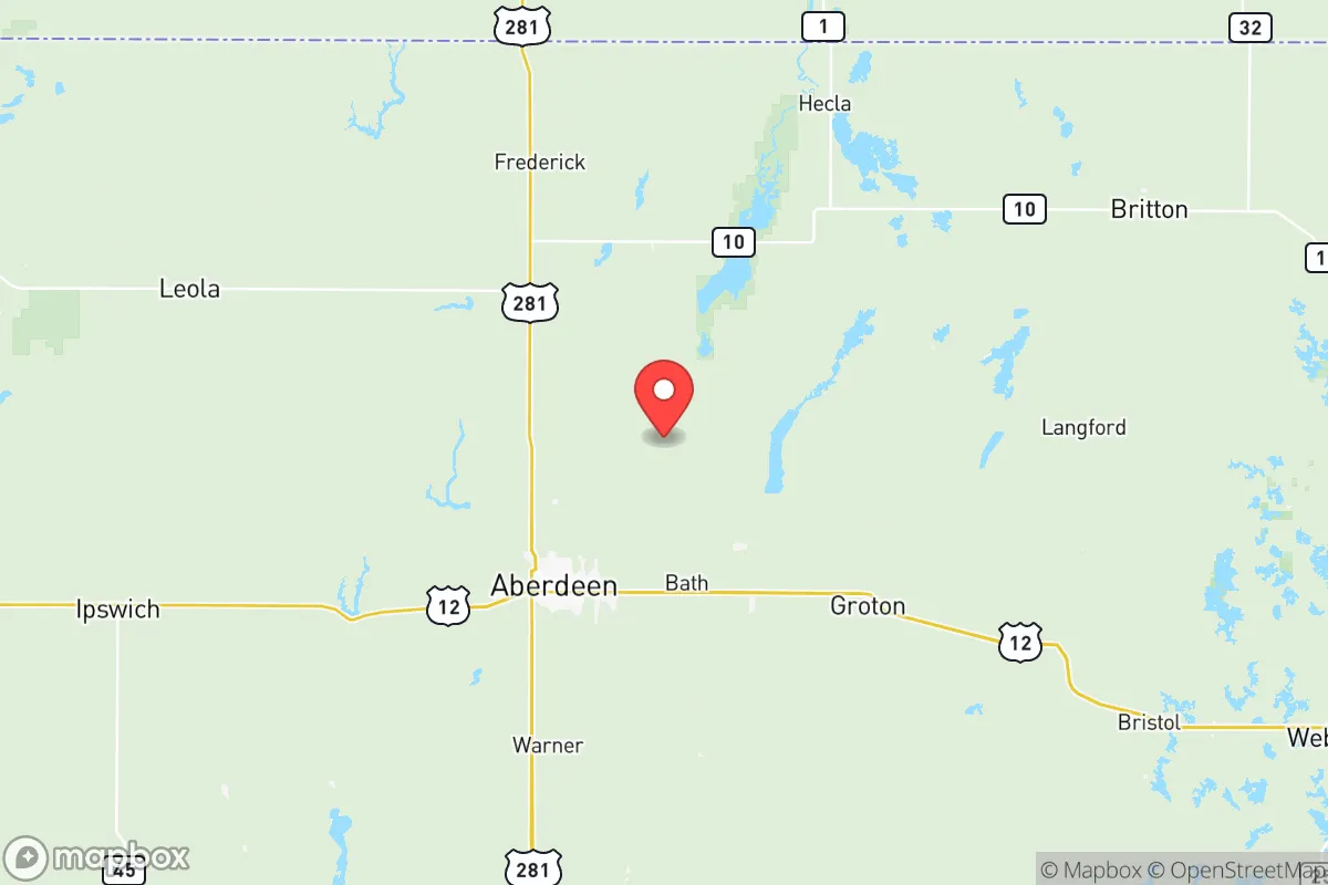
Brown County, South Dakota, offers a strategic balance of rural resilience and regional connectivity that appeals to relocation-minded individuals and families prioritizing preparedness and self-sufficiency. Anchored by the city of Aberdeen, the county sits roughly 120 miles from the Fargo-Moorhead metro area and 180 miles from Sioux Falls, placing it far enough from major urban centers to avoid their cascading failure risks while remaining within a practical day’s drive for supplies or medical care. The area’s low population density—around 28,000 residents spread over 1,731 square miles—combined with its position in the relatively stable upper Midwest, makes it a defensible and resource-rich option for those thinking seriously about long-term disaster readiness.
Geographic position and natural advantages for long-term stability
Brown County’s location in northeastern South Dakota provides several inherent advantages for a resilience-focused household. The region sits atop the James River Basin, a flat to gently rolling glacial plain that offers fertile soils and abundant groundwater—two critical assets for food and water security. The James River itself flows through the county, with Aberdeen built along its banks, providing a perennial surface water source that supplements the region’s deep aquifers. Unlike areas prone to earthquakes, hurricanes, or wildfires, Brown County’s primary natural hazard is severe winter weather, which is predictable and manageable with proper preparation. The county’s elevation—roughly 1,300 feet above sea level—and distance from both coasts mean it is insulated from sea-level rise and tsunami risks. For a relocator, this translates to a baseline of geographic stability that few other regions can match, especially when compared to the Pacific Northwest’s seismic zones or the Gulf Coast’s hurricane corridors.
Risks, exposures, and proximity to fallout-relevant landmarks
While Brown County avoids many of the acute man-made risks found in coastal or industrial zones, it is not without exposure. The most significant nearby landmark with fallout relevance is the Grand Forks Air Force Base, located roughly 100 miles north in North Dakota. This base houses the 319th Reconnaissance Wing and operates Global Hawk drones, making it a potential target in a major conflict scenario. However, the distance and prevailing westerly winds reduce the likelihood of direct fallout reaching Brown County compared to communities within 50 miles. Closer to home, the NSP Aberdeen Generating Station—a natural gas-fired power plant just south of Aberdeen—presents a minor industrial risk, but it is not a nuclear facility and poses no catastrophic radiation threat. The county’s primary risk is actually economic: its reliance on agriculture and the Aberdeen Regional Airport for logistics means a prolonged supply chain disruption could strain local resources. For the preparedness-minded, the key takeaway is that Brown County’s exposure to man-made disasters is low relative to the national average, but the 100-mile proximity to Grand Forks AFB warrants a basic fallout shelter plan and a stockpile of potassium iodide if one is particularly risk-averse.
Practical resilience for a relocator: food, water, energy, and defensibility
For a family or individual serious about self-sufficiency, Brown County scores well on the four pillars of practical resilience. Food security is the county’s strongest asset: it sits in the heart of the Corn Belt, with thousands of acres of row crops and livestock operations within a 30-minute drive of Aberdeen. The Aberdeen Farmers Market operates from May through October, and local producers like Dakota Farms offer direct-to-consumer beef and poultry. For those wanting to grow their own, the growing season runs roughly 130 days (May to September), suitable for cold-hardy vegetables, and the soil is rich loam with good drainage. Water security is equally robust: the James River provides a reliable surface source, and the Big Sioux Aquifer underlies much of the county, with well depths averaging 100-200 feet. A properly sited property with a drilled well and a hand pump can ensure water independence. Energy resilience is more mixed: the grid is served by NorthWestern Energy, which relies on a mix of natural gas, coal, and wind. Brown County has significant wind potential—the Tatanka Wind Farm operates just south of the county line—making small-scale wind turbines a viable backup. Solar is less optimal due to the region’s 200+ cloudy days per year, but a modest solar array with battery storage can cover critical loads during winter storms. Defensibility is where the county’s geography shines: the flat terrain offers long sightlines, and the rural road network—primarily county roads and state highways like US-12 and SD-37—provides multiple egress routes. Aberdeen itself has a population of about 28,000, large enough to support a hospital, police force, and hardware stores, but small enough that a determined group could secure a perimeter around a rural homestead. The Brown County Sheriff’s Office maintains a visible presence, and the local Aberdeen Police Department has a SWAT team for serious incidents, but in a widespread collapse scenario, residents would largely rely on themselves and their neighbors.
The overall strategic picture for Brown County is one of quiet strength. It lacks the dramatic topography or military fortifications of some relocation destinations, but it compensates with agricultural abundance, water availability, and a low-risk profile that few other regions can match. For a conservative-leaning family or individual who values self-reliance and community cohesion, the county offers a realistic path to long-term stability without the isolation of the deep wilderness or the vulnerability of the urban fringe. The proximity to Grand Forks AFB is a real but manageable concern, and the harsh winters demand serious preparation—think wood stoves, insulated shelters, and a four-wheel-drive vehicle. But for those willing to put in the work, Brown County represents a defensible, resource-rich anchor in an increasingly uncertain world.

* Values derived from national, state, county, city and local statistics and may differ in a specific area. Last updated: 2026-07-06T23:41:48.000Z
Narrative content on this page is AI-generated and may contain mistakes. Verify any details that matter before acting on them.
ReloMaps may earn a commission from affiliate links at no extra cost to you.

