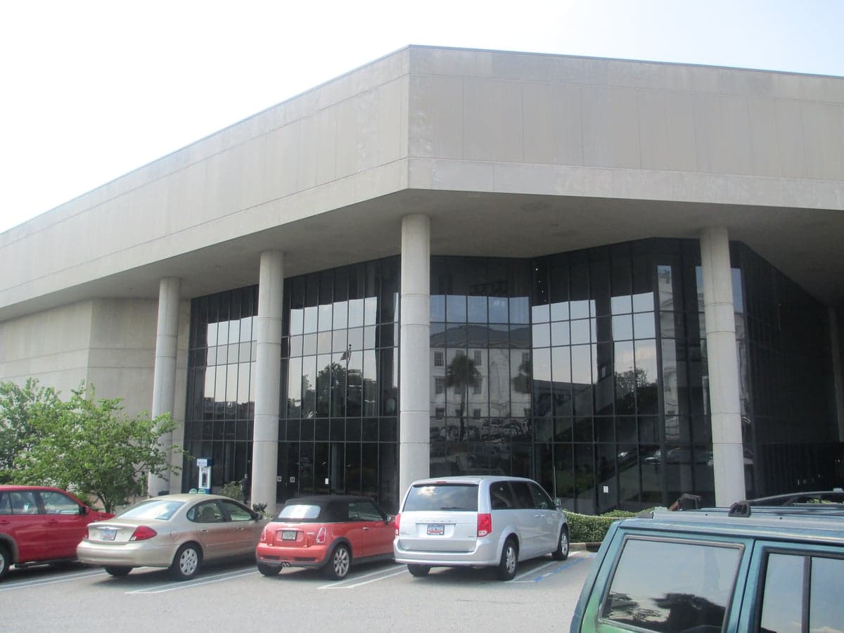
Photo: Wikipedia
Demographics of Richland County
Affluence Level in Richland County
A middle-class area roughly in line with national averages across income, home values, education, and employment.
People of Richland County
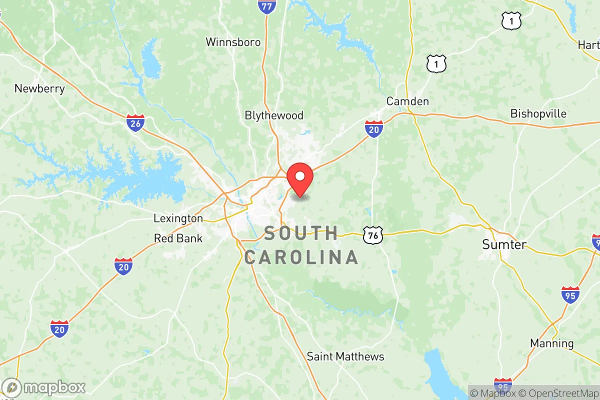
Richland County, South Carolina, is home to 418,725 residents, a population defined by its Black-majority plurality (46.9%) and a significant White minority (39.9%), with a small but growing Hispanic community (6.3%) and modest East/Southeast Asian (1.8%) and Indian-subcontinent (1.1%) populations. The county is anchored by Columbia, the state capital, and its character is shaped by a blend of historic Southern roots, a large state-government and university workforce, and a suburbanizing landscape that is slowly diversifying. With a foreign-born share of just 3.1%—well below the national average—Richland County remains a predominantly native-born, Southern place, though its college-educated rate of 41.1% signals a knowledge-economy tilt that is reshaping its cultural identity.
Settlement & growth (pre-1960)
The land that became Richland County was originally inhabited by the Congaree people, a Siouan-speaking tribe whose name survives in the Congaree River and the Congaree National Park. European contact began in the late 1600s with Spanish and French explorers, but permanent settlement did not take hold until the British established a trading post at what is now Columbia in the early 1700s. The area was part of a vast frontier buffer zone between the coastal Lowcountry and the Cherokee lands to the west.
After the American Revolution, the South Carolina General Assembly designated a new state capital at the geographic center of the state, and in 1786, the town of Columbia was formally founded on a high bluff above the Congaree River. The first major wave of settlers were Scots-Irish and English farmers who moved inland from the coastal plantations, drawn by cheap land grants in the Piedmont. They established small farms and the village of Blythewood (northern Richland County) as a stagecoach stop along the road to Charlotte. By the 1820s, the cotton boom transformed the region: wealthy planters from the Lowcountry established large plantations worked by enslaved Africans, particularly along the Wateree and Congaree river bottoms near Eastover and Gadsden. The enslaved population quickly outnumbered the White settlers, a pattern that persists in the county's demographics today.
After the Civil War and Reconstruction, freedmen concentrated in Columbia's Waverly and Earlewood neighborhoods, forming a vibrant Black middle class centered around Allen University and Benedict College. The post-Reconstruction era saw the imposition of Jim Crow laws, but Richland County's Black population remained large and politically active. The early 20th century brought a modest wave of European immigrants—primarily Germans, Greeks, and Lebanese—who opened businesses in downtown Columbia, particularly along Main Street and in the Cayce area just across the Congaree River. However, immigration to Richland County was never large; the county's foreign-born share in 1920 was under 2%. The Great Migration (1910-1970) saw many Black residents leave for Northern industrial cities, but Richland County's Black population remained a majority or near-majority throughout this period, unlike many other Southern counties that experienced heavy outmigration.
World War II and the Cold War brought a new wave: the establishment of Fort Jackson (1917, expanded massively in the 1940s) drew military families and civilian contractors from across the country, settling in the Forest Acres and Arsenal Hill areas. The Savannah River Site (1950s) also pulled in engineers and scientists, though most of those workers lived in Aiken County. By 1960, Richland County's population was roughly 55% Black and 44% White, with a tiny fraction of other groups—a biracial Southern county with a strong Black political and cultural presence.
Modern era (post-1965)
The 1965 Hart-Cellar Act had a muted effect on Richland County compared to coastal or border states. The county's foreign-born population remained below 4% through the 1990s, and the new immigrants who did arrive were primarily East/Southeast Asian—Vietnamese and Korean families who came as refugees or professionals in the 1970s and 1980s, settling in Columbia's Rosewood and Shandon neighborhoods near the University of South Carolina. A smaller Indian-subcontinent community (doctors, engineers, and academics) grew around the university and the medical school, concentrated in the Lake Katherine area.
The most significant demographic shift since 1965 has been domestic: the Sun Belt migration of White and Black Americans from the Rust Belt and the Northeast. From the 1980s onward, retirees, corporate transplants, and military-affiliated families moved to Richland County for its lower cost of living, warmer climate, and job growth in government, healthcare, and education. This influx has gradually reduced the Black share of the population from a 1960s-era majority to its current 46.9%, while the White share has held relatively steady at around 40% due to in-migration offsetting lower birth rates. The Hispanic population, though still small at 6.3%, has grown rapidly since 2000, driven by construction, landscaping, and food-service jobs. Hispanic residents are concentrated in Dentsville and St. Andrews, suburban areas north and west of Columbia that have become the county's most diverse neighborhoods.
Suburbanization has reshaped the county's geography. The historic core of Columbia has seen White and middle-class Black flight to suburbs like Irmo (partly in Lexington County) and Blythewood, which grew from a village of 200 in 1990 to a sprawling exurb of over 5,000 by 2020. The Lower Richland area (Eastover, Gadsden, Hopkins) remains predominantly Black and rural, with higher poverty rates and less new development. The county's college-educated rate of 41.1% is driven by the University of South Carolina, Fort Jackson, and the state government, creating a bifurcated economy: a well-educated, relatively diverse professional class in the urban core and northern suburbs, and a less-educated, more economically stressed population in the rural south and older inner-ring neighborhoods.
The future
Richland County is slowly becoming more diverse, but the pace is modest. The Hispanic share is projected to reach 8-10% by 2035, driven by continued domestic migration from other Southern states and some direct immigration. The East/Southeast Asian and Indian-subcontinent populations are likely to grow as the university and healthcare sectors expand, but they will remain small single-digit shares. The Black population is projected to decline slightly as a share (to around 44-45%) as White and Hispanic in-migration continues, but the county will remain a Black-plurality jurisdiction for the foreseeable future.
The most significant trend is the suburbanization of poverty and the gentrification of the urban core. Columbia's downtown and the Congaree Vista district are attracting young professionals and empty-nesters, pushing lower-income residents—disproportionately Black—further out to the Dentsville and St. Andrews suburbs. The northern exurbs (Blythewood, Ridgeway) are becoming whiter and wealthier, while the southern rural areas (Eastover, Gadsden) are aging and losing population. The county's cultural identity is evolving from a historically Black-and-White Southern place into a more layered, multi-ethnic Sun Belt county, but the change is gradual and uneven.
For someone moving in now, Richland County offers a choice: the dense, walkable, increasingly diverse urban core of Columbia; the family-oriented, predominantly White northern suburbs; or the quiet, historically Black rural south. The county's future is one of moderate growth, slow diversification, and increasing economic stratification—a place where the old Southern biracial order is giving way to a more complex, but still deeply rooted, demographic landscape.

* Values derived from national, state, county, city and local statistics and may differ in a specific area. Last updated: 2026-06-15T12:11:45.000Z
Narrative content on this page is AI-generated and may contain mistakes. Verify any details that matter before acting on them.
ReloMaps may earn a commission from affiliate links at no extra cost to you.

