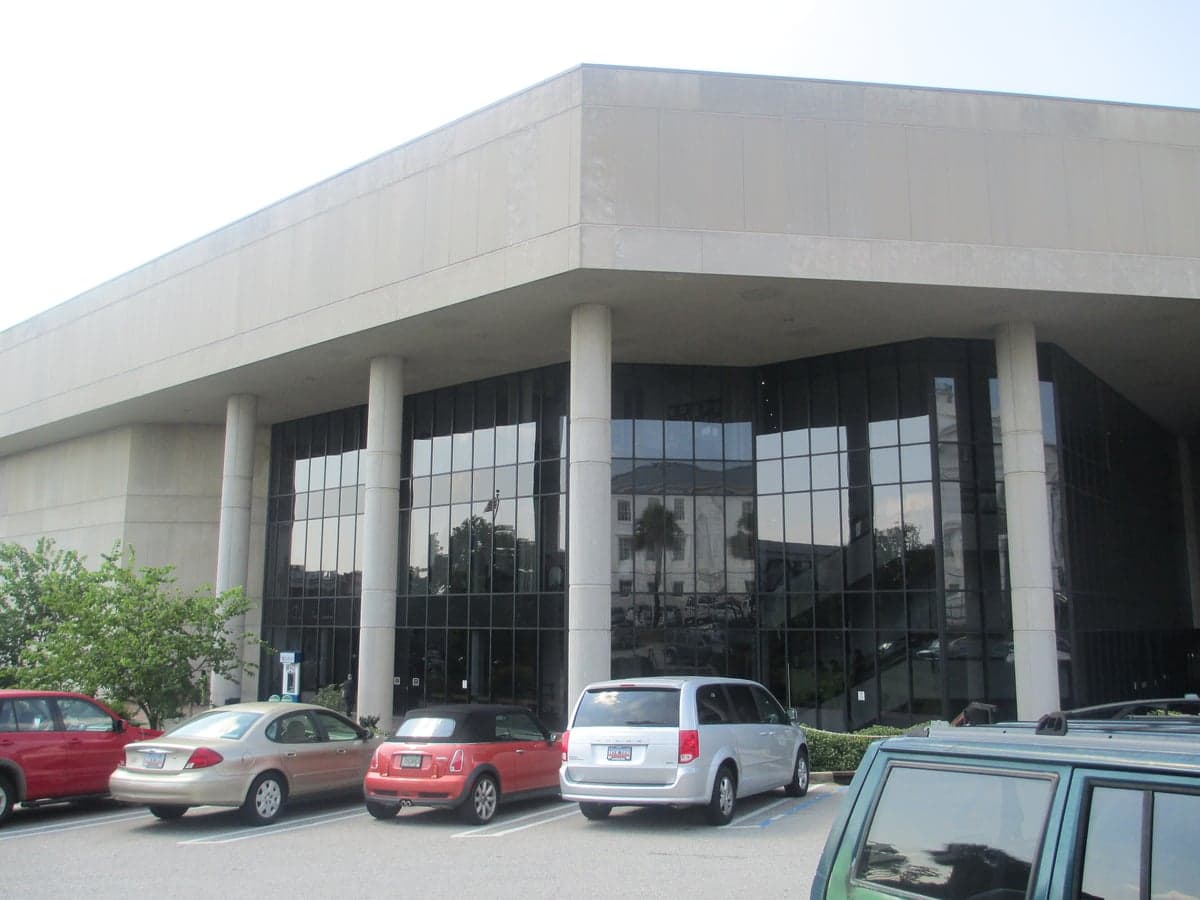
Photo: Wikipedia
Strategic Assessment of Richland County
Meaningful friction. Expect exposure to either population pressure, blast zones, or natural disaster risk. Consider buying a retreat property.
What does the Strategic Assessment tell us?
Our Strategic Assessment grades tactical survivability of an area. Major population centers, military targets, fallout zones, natural disasters, and border exposure all drive risk — lower exposure means a more defensible position in a crisis.
This is heavily inspired by Joel Skousen's Strategic Relocation book. Highly recommended you checkout the book ($)What does this tell us?
Our Strategic Assessment grades tactical survivability of an area. Major population centers, military targets, fallout zones, natural disasters, and border exposure all drive risk — lower exposure means a more defensible position in a crisis.
This is heavily inspired by Joel Skousen's Strategic Relocation book. Highly recommended you checkout the book ($)Strategic Pillars

Key Distances
Strategic Assessment Analysis
Richland County, anchored by Columbia, offers a strategic blend of inland positioning and regional infrastructure that makes it a serious contender for relocation-minded individuals and families prioritizing resilience. Its location at the confluence of the Broad, Saluda, and Wateree rivers provides a natural water advantage, while its distance from coastal storm surge zones and major metropolitan targets like Atlanta or Charlotte reduces exposure to certain high-risk scenarios. The county’s role as the state capital, home to Fort Jackson, and a hub for federal and state government employment adds a layer of institutional stability that supports long-term preparedness planning.
Geographic position and natural advantages for disaster preparedness
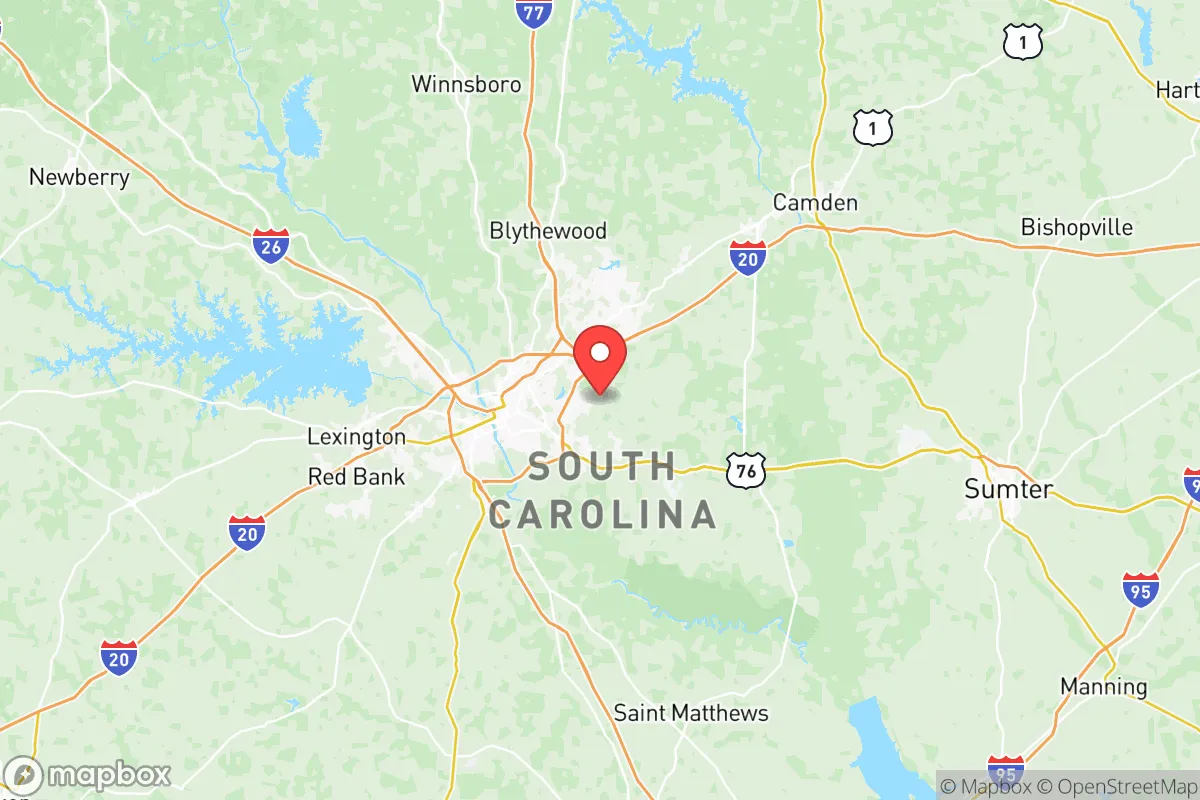
Richland County sits in the central Piedmont region of South Carolina, roughly 100 miles inland from the Atlantic coast, placing it well outside the typical storm surge zones of hurricanes that frequently impact Charleston or Myrtle Beach. The county’s elevation ranges from about 200 to 400 feet above sea level, which reduces flood risk compared to coastal or low-lying areas, though localized flooding along the Congaree River and its tributaries remains a consideration. The surrounding landscape includes the Sumter National Forest and the Sandhills region to the east, offering natural buffers and potential off-grid retreat options within a reasonable drive. The presence of Fort Jackson, a major U.S. Army training installation, provides a significant military presence that bolsters local emergency response capabilities and infrastructure resilience. The county’s position along Interstate 20 and Interstate 26 gives relocators multiple evacuation routes inland toward the Appalachian foothills, a key advantage over areas with limited egress options.
Risks, exposures, and proximity to fallout-relevant landmarks
While Richland County avoids many coastal threats, it is not without strategic vulnerabilities. The county hosts the Savannah River Site, a nuclear materials processing facility located about 70 miles southwest in Aiken County, which presents a low-probability but high-consequence risk for radiological incidents. Closer to home, the Lake Murray Dam near Irmo is a critical infrastructure point; a failure or targeted disruption could impact downstream areas along the Saluda River corridor. Columbia’s status as the state capital and home to the University of South Carolina makes it a potential target for civil unrest or cyberattacks aimed at government networks. The county also contains the Columbia Metropolitan Airport and multiple rail lines serving freight and passenger traffic, which could be chokepoints during a crisis. On the natural hazard front, the region experiences occasional tornadoes and severe thunderstorms, with the 2024 tornado outbreak that struck the Midlands serving as a recent reminder of the need for storm shelters and robust building codes. Proximity to Fort Jackson is a double-edged sword: it provides security resources but also makes the area a potential secondary target in a conflict scenario.
Practical resilience for a relocator: food, water, energy, and defensibility
Richland County offers a mixed picture for self-sufficiency. The region’s agricultural base includes row crops like soybeans and corn, as well as livestock operations in the surrounding rural areas of Fairfield and Kershaw counties, providing local food sources within a 30- to 60-minute drive. The Congaree River and Lake Murray offer reliable freshwater access, though treatment infrastructure is centralized and could be disrupted during extended power outages. Well water is common in unincorporated areas, and many rural properties in northern Richland County have existing septic systems, reducing dependency on municipal utilities. The energy grid is served by Dominion Energy and Santee Cooper, with the V.C. Summer Nuclear Station in nearby Fairfield County providing baseload power, though the plant’s history of construction delays and cost overruns raises questions about long-term reliability. Solar adoption is growing, and several rural properties are zoned for off-grid systems. Defensibility varies by location: suburban subdivisions near Blythewood or Elgin offer community layouts that can be secured with basic measures, while denser areas around downtown Columbia present more challenges for perimeter control. The county’s topography is generally rolling hills and forested, providing natural cover and line-of-sight advantages for those with property in less developed areas. For relocators serious about preparedness, the northern and eastern parts of the county, away from major highways and industrial zones, offer the best balance of access to resources and reduced exposure.
Overall, Richland County presents a viable option for those seeking a balance between urban access and strategic depth. Its inland location, institutional anchors like Fort Jackson and state government, and proximity to multiple water sources give it a solid baseline for resilience. The primary trade-offs are the presence of the Savannah River Site and the capital’s inherent target profile, which require a relocator to choose their specific location carefully—opting for rural northern or eastern parcels rather than dense suburban or downtown areas. For a family or individual willing to invest in well water, solar backup, and storm hardening, the county offers a defensible, resource-rich environment that avoids the worst exposures of coastal or major-metro living. It is not a bunker location, but it is a smart, practical choice for those who want to be prepared without isolating themselves from community and infrastructure.

* Values derived from national, state, county, city and local statistics and may differ in a specific area. Last updated: 2026-06-15T12:11:45.000Z
Narrative content on this page is AI-generated and may contain mistakes. Verify any details that matter before acting on them.
ReloMaps may earn a commission from affiliate links at no extra cost to you.

