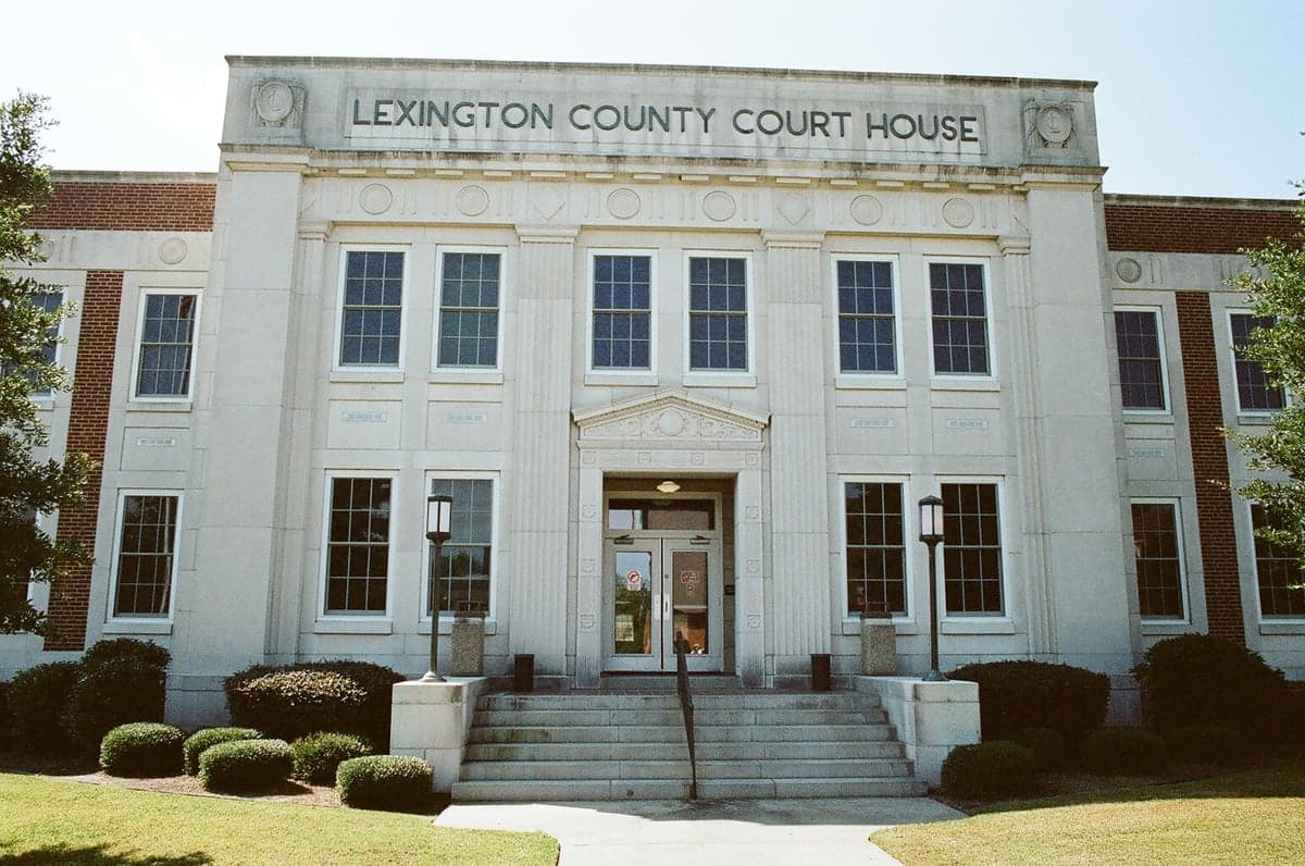
Photo: Wikipedia
Strategic Assessment of Lexington County
Meaningful friction. Expect exposure to either population pressure, blast zones, or natural disaster risk. Consider buying a retreat property.
What does the Strategic Assessment tell us?
Our Strategic Assessment grades tactical survivability of an area. Major population centers, military targets, fallout zones, natural disasters, and border exposure all drive risk — lower exposure means a more defensible position in a crisis.
This is heavily inspired by Joel Skousen's Strategic Relocation book. Highly recommended you checkout the book ($)What does this tell us?
Our Strategic Assessment grades tactical survivability of an area. Major population centers, military targets, fallout zones, natural disasters, and border exposure all drive risk — lower exposure means a more defensible position in a crisis.
This is heavily inspired by Joel Skousen's Strategic Relocation book. Highly recommended you checkout the book ($)Strategic Pillars

Key Distances
Strategic Assessment Analysis
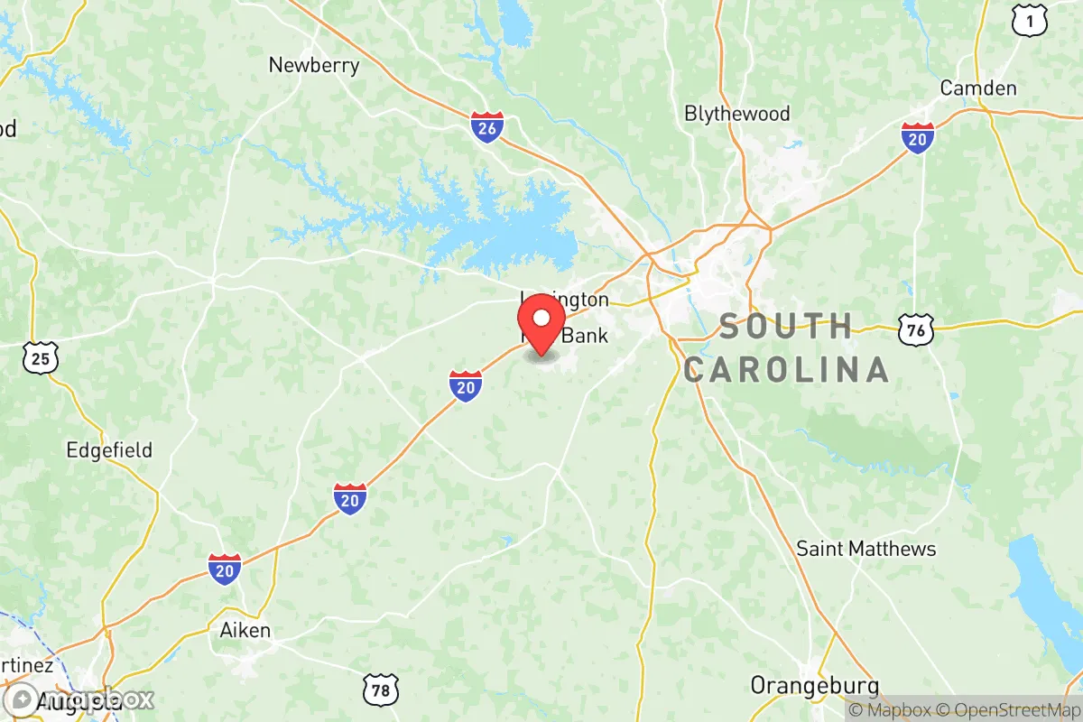
Lexington County, South Carolina, offers a strategic relocation option for those prioritizing resilience and self-sufficiency, balancing proximity to a major metropolitan hub with access to rural buffer zones. Its position in the central Midlands, anchored by the town of Lexington and the city of West Columbia, provides a mix of suburban stability and rural escape routes, making it a defensible choice for families and individuals who want to be near resources without being in a high-density target zone. The county’s resilience profile is shaped by its geography, infrastructure, and exposure to both natural and man-made risks, which we assess below for a reader thinking seriously about disaster readiness.
Geographic position and natural advantages for long-term stability
Lexington County sits in the South Carolina Piedmont, a region of rolling hills and mixed hardwood forests that offers natural advantages over coastal or floodplain areas. The county is roughly 120 miles inland from the Atlantic Ocean, placing it well outside the storm-surge zones of hurricanes that frequently hit Charleston and the Lowcountry. While tropical systems can still bring heavy rain and wind, the elevation—averaging 300 to 600 feet above sea level—reduces the risk of catastrophic flooding compared to areas like Columbia’s Congaree River floodplain. The county is bisected by the Saluda River and its tributaries, including Lake Murray, a 50,000-acre reservoir created by the Saluda Dam. This lake is a critical water resource and a recreational asset, but its dam also represents a potential vulnerability, as discussed below. The terrain is not mountainous, but the gentle hills and forested corridors provide natural cover and defensible positions for those with rural properties, especially in the western parts of the county near the towns of Batesburg-Leesville and Gilbert. The climate is humid subtropical, with hot summers and mild winters, supporting year-round gardening and livestock operations—a key factor for self-sufficiency.
Risks, exposures, and proximity to fallout-relevant landmarks
Lexington County’s resilience is tempered by its proximity to several man-made and natural risk factors. The most significant is the Saluda Dam (also known as the Lake Murray Dam), a massive earthen dam that impounds the Saluda River. Located just northwest of Columbia, this dam is classified as a high-hazard potential structure by the U.S. Army Corps of Engineers. A catastrophic failure—whether from seismic activity, sabotage, or age-related issues—could send a wall of water down the Saluda River corridor, directly threatening the towns of West Columbia, Cayce, and parts of Lexington city. While the dam is regularly inspected and considered stable, its presence is a non-negotiable risk for anyone living in the downstream flood zone. Beyond the dam, the county’s proximity to Columbia (the state capital) and Fort Jackson (a major U.S. Army training base) introduces a different class of risk. Columbia is a population center of roughly 130,000 within city limits, and Fort Jackson, located just east of the county line, is a strategic military installation. In a major conflict or terrorist scenario, these could become targets for conventional or asymmetric attacks. Lexington County’s western and southern rural areas—around the towns of Pelion and Swansea—offer the best buffer from these risks, as they are farther from the dam and the urban core. Additionally, the county is within 150 miles of the Savannah River Site (a nuclear weapons facility near Aiken, SC) and the Port of Charleston, both of which could be secondary fallout-relevant landmarks in a national emergency. Natural hazards include the occasional tornado (South Carolina averages 11 per year statewide) and the risk of ice storms, which can knock out power for days. The county is not in a high-risk seismic zone, but the 1886 Charleston earthquake (estimated magnitude 7.3) demonstrates that the region is not immune to seismic events.
Practical resilience for a relocator: food, water, energy, and defensibility
For a relocator focused on self-sufficiency, Lexington County offers a mixed but workable picture. Water security is the strongest asset: Lake Murray provides a massive, reliable freshwater source for those with access to its shoreline or tributaries. However, the lake is managed by Dominion Energy for hydroelectric power, and water rights are regulated, so drilling a private well is the more dependable long-term strategy for rural properties. The county’s groundwater is generally abundant and of good quality, with well depths typically ranging from 100 to 300 feet. Food production is feasible due to the long growing season (roughly 220 frost-free days) and fertile loam soils in the western and southern parts of the county. The Lexington County Farmers Market in the city of Lexington is a year-round resource for local produce, meats, and seeds, and the county has a strong tradition of small-scale farming, with operations raising cattle, poultry, and vegetables. For energy, the grid is served by Dominion Energy and several electric cooperatives, but the region is prone to storm-related outages. Solar panels are a viable supplement, as the area receives about 215 sunny days per year, slightly above the national average. Defensibility is best in the rural western and southern corridors, where properties on 5-20 acres are common and the terrain offers natural sightlines and cover. The towns of Gilbert and Pelion, with their low population density and limited through-traffic, are particularly suited for those seeking a retreat-like setup. In contrast, the suburban sprawl around Lexington and West Columbia—while offering amenities—creates choke points on major roads like I-20 and US-378, which could become congested during an evacuation. The county’s law enforcement presence is robust, with the Lexington County Sheriff’s Department covering unincorporated areas, but in a prolonged crisis, rural residents would need to rely on community networks and personal preparedness.
The overall strategic picture for Lexington County is one of calculated trade-offs. Its inland location, abundant water from Lake Murray, and agricultural capacity make it a strong candidate for a resilience-focused relocation, especially for those who choose the rural western or southern zones. The primary liabilities are the Saluda Dam risk and the proximity to Columbia and Fort Jackson, which elevate the man-made threat profile. For a family or individual willing to accept these risks in exchange for a lower cost of living, a moderate climate, and access to both urban resources and rural buffer space, Lexington County represents a defensible and practical choice. The key is to locate well away from the dam’s inundation zone and the major highway corridors, prioritizing properties in Gilbert, Pelion, or Batesburg-Leesville, where self-sufficiency is most achievable and the county’s natural advantages can be fully leveraged.

* Values derived from national, state, county, city and local statistics and may differ in a specific area. Last updated: 2026-06-14T19:30:25.000Z
Narrative content on this page is AI-generated and may contain mistakes. Verify any details that matter before acting on them.
ReloMaps may earn a commission from affiliate links at no extra cost to you.

