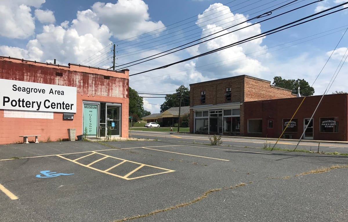
Photo: Wikipedia
Strategic Assessment of Seagrove, NC
Meaningful friction. Expect exposure to either population pressure, blast zones, or natural disaster risk. Consider buying a retreat property.
What does the Strategic Assessment tell us?
Our Strategic Assessment grades tactical survivability of an area. Major population centers, military targets, fallout zones, natural disasters, and border exposure all drive risk — lower exposure means a more defensible position in a crisis.
This is heavily inspired by Joel Skousen's Strategic Relocation book. Highly recommended you checkout the book ($)What does this tell us?
Our Strategic Assessment grades tactical survivability of an area. Major population centers, military targets, fallout zones, natural disasters, and border exposure all drive risk — lower exposure means a more defensible position in a crisis.
This is heavily inspired by Joel Skousen's Strategic Relocation book. Highly recommended you checkout the book ($)Strategic Pillars

Key Distances
Regional Safe Places
Below is our recommended "safe zones" in North Carolina and the surrounding area based on our strategic heuristics. For most people, it's unrealistic to live in a “safe zone” full-time due to work, family or other personal reasons. They tend to be more rural. However, many of these areas are perfect for second homes and retreat properties that double as a vacation home or even a short-term rental.

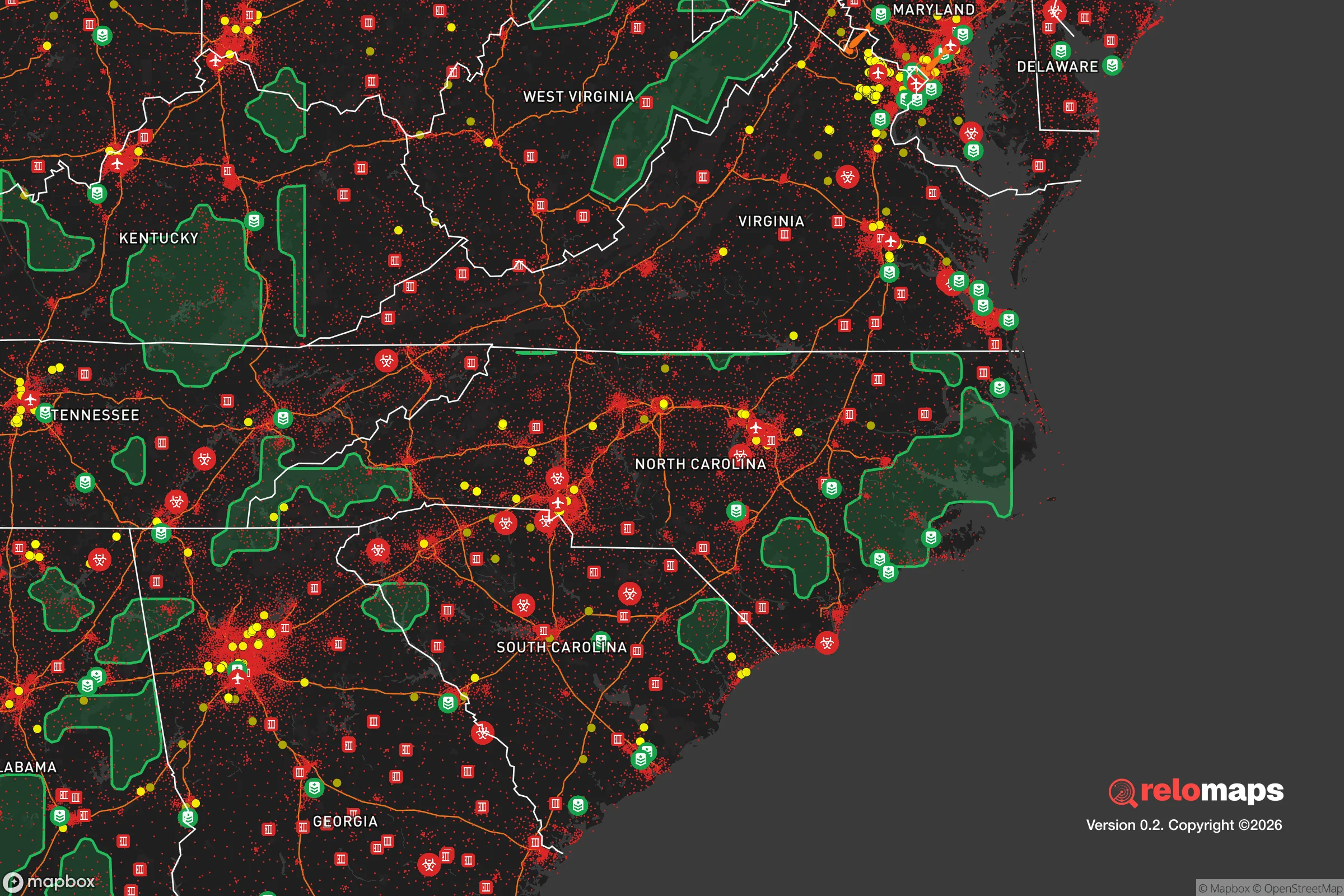


Important Note: For informational purposes only. This does not mean nothing bad ever happens in the green zones. Please use common sense. This is based on public data and modeled with AI. We tried to take a conservative approach but mistakes happen. We update this regularly as new information becomes available.
Solar Generator Recommendations
Backup power matters more here than in safer locations. We've picked three solar generators across budgets and capacity tiers — start with the budget unit if you only need a few essentials, or step up if you want to run a fridge and HVAC for days at a time.

Jackery Portable Power Station Explorer 300
Budget OptionPower on the Go: Weighing only 11 lbs, it's convenient to set up and store with book-sized foldable solar panels

BLUETTI Portable Power Station AC180
Designed for both indoor and outdoor scenarios, AC180 is highly capable as it has a robost capacity and continuous output power.

EF ECOFLOW DELTA Pro Ultra Power Station
Upgraded PickEcoFlow DELTA Pro Ultra is a whole-home energy system designed to grow with your family. Integrated with the Smart Home Panel 2, it scales to meet your evolving energy needs — keeping your home powered, intelligent, and secure through every stage of life.
We earn a commission, at no additional cost to you.
Strategic Assessment Analysis
Seagrove, North Carolina, offers a compelling mix of rural self-sufficiency and strategic positioning for those serious about disaster readiness. Tucked into the Piedmont region, this small pottery town sits far enough from major population centers to avoid the worst of urban collapse scenarios, yet close enough to the Uwharrie National Forest for natural resources and defensible terrain. For a relocator weighing resilience, Seagrove’s combination of low population density, inland location, and access to freshwater makes it a strong candidate — but only if you understand the trade-offs.
Geographic position and natural advantages of Seagrove
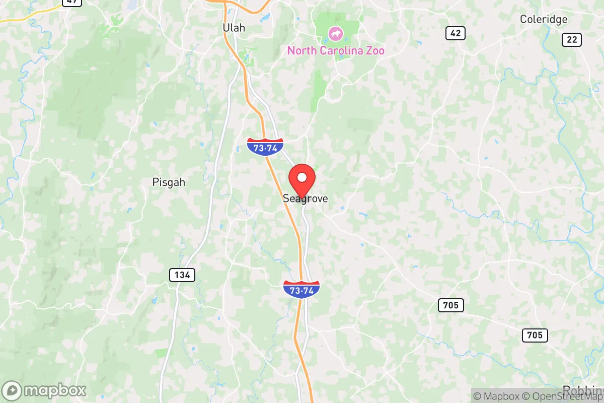
Seagrove lies in Randolph County, roughly 70 miles east of Charlotte and 50 miles south of Greensboro. That puts it outside the immediate blast radius or fallout plume of any high-value target in the Charlotte metro or the Triad, while still being within a day’s drive of multiple supply routes. The town sits on the edge of the Uwharrie Mountains, an ancient, low-elevation range that provides natural cover and abundant timber. The terrain is rolling hills with mixed hardwood and pine forests — not mountainous enough to hinder travel, but enough to offer defensible positions and concealment. The Deep River runs nearby, and the region has a high water table, meaning private wells are common and reliable. Soils in the area are sandy loam, suitable for small-scale agriculture with proper amendment. Seagrove’s elevation (around 700 feet) keeps it above most floodplains, and the inland position means hurricane storm surge is a non-issue. The climate is temperate with four distinct seasons, allowing for year-round food production in protected settings. For a relocator, the key natural advantage is access to the Uwharrie National Forest — over 50,000 acres of public land for hunting, foraging, and timber, all within a 20-minute drive. That’s a buffer zone and a resource cache that few other small towns in the Southeast can match.
Risks and exposures: natural threats and man-made fallout concerns
No location is risk-free, and Seagrove has its share. The primary natural threats are tornadoes and severe thunderstorms, which are common in the Piedmont. Randolph County has a moderate tornado risk — not as high as the Plains, but enough that a direct hit is possible. The 2020 tornado outbreak that struck nearby Moore County is a reminder that these events can level structures. Flooding is limited to low-lying areas near creeks, but most of Seagrove’s residential lots are on higher ground. Wildfire risk is low due to the moist climate, but drought years can elevate it. On the man-made side, Seagrove’s distance from major cities is a double-edged sword. It’s far enough to avoid immediate blast effects from a nuclear strike on Charlotte or Greensboro, but fallout patterns depend on wind direction. A ground burst at a major target could send radioactive debris into the Piedmont within hours. The closest nuclear power plant is the Shearon Harris facility near Raleigh, about 90 miles east — well outside the typical 10-mile emergency planning zone, but a catastrophic release could still affect downwind areas. More concerning is the proximity to interstate highways I-73 and I-74, which run near Seagrove. These routes would become choke points during an evacuation or collapse, potentially funneling refugees and looters through the area. The town itself has no major military installations or chemical plants, but the nearby city of Asheboro (15 miles north) has industrial sites that could be secondary targets. Overall, Seagrove’s risk profile is moderate — better than coastal or metro-adjacent towns, but not immune to fallout or cascading disruptions.
Practical resilience for relocators: food, water, energy, and defensibility
For a relocator serious about self-sufficiency, Seagrove offers a workable baseline. Water is the strongest asset: the water table is high, and most rural properties already have drilled wells. The Deep River and several creeks provide surface water for irrigation or emergency use, though treatment would be needed. Rainfall averages about 45 inches per year, so rainwater catchment is viable. Food production is feasible with effort. The growing season runs April through October, and local soil can support vegetables, fruit trees, and small livestock. The Uwharrie National Forest provides deer, turkey, and small game, plus edible plants like persimmons and pawpaws. However, Seagrove is not an agricultural hub — most farmland is devoted to tobacco and soybeans, not diversified subsistence crops. A relocator would need to establish gardens and orchards from scratch. Energy resilience is mixed. The grid is served by Duke Energy, which has a decent reliability record but is vulnerable to ice storms and high winds. Solar is viable — the area gets about 4.5 peak sun hours per day — but net metering policies in North Carolina have been restrictive. Off-grid solar with battery storage is the best bet for true independence. Wood heating is practical given the forest cover, but you’d need to secure a woodlot or have a permit for federal land. Defensibility is Seagrove’s hidden strength. The town’s layout is sparse, with properties separated by woods and fields. The Uwharrie National Forest provides a natural barrier to the south and east. The local population is small (under 1,000 in the town proper) and largely rural-minded, which reduces the risk of social friction. Law enforcement presence is minimal — the Randolph County Sheriff’s Office covers a wide area — so relocators should plan for self-defense and community networking. The closest hospital is in Asheboro (15 minutes), which is adequate for routine care but not for major trauma. Overall, Seagrove scores well on water and defensibility, moderately on food and energy, and requires upfront investment to reach full self-sufficiency.
The strategic picture for Seagrove is one of balanced opportunity with clear homework. It’s not a prepper paradise — you won’t find bunkers or a pre-existing off-grid community — but it offers the raw ingredients: clean water, forest resources, low population density, and a location that sidesteps the worst fallout corridors. The downsides are the moderate tornado risk, the potential for refugee flow along nearby highways, and the need to build food and energy systems from the ground up. For a single individual or family willing to put in the work, Seagrove provides a defensible, resource-rich base that’s close enough to civilization for supply runs but far enough to ride out a crisis. The key is to arrive with a plan — secure a property with a well and southern exposure for solar, establish a garden in the first season, and build relationships with neighbors who share your mindset. In the resilience landscape of North Carolina, Seagrove is a solid B+ — not the top tier, but a smart, under-the-radar choice for those who value practicality over hype.

* Values derived from national, state, county, city and local statistics and may differ in a specific area. Last updated: 2026-10-11T22:42:40.000Z
Narrative content on this page is AI-generated and may contain mistakes. Verify any details that matter before acting on them.
ReloMaps may earn a commission from affiliate links at no extra cost to you.

