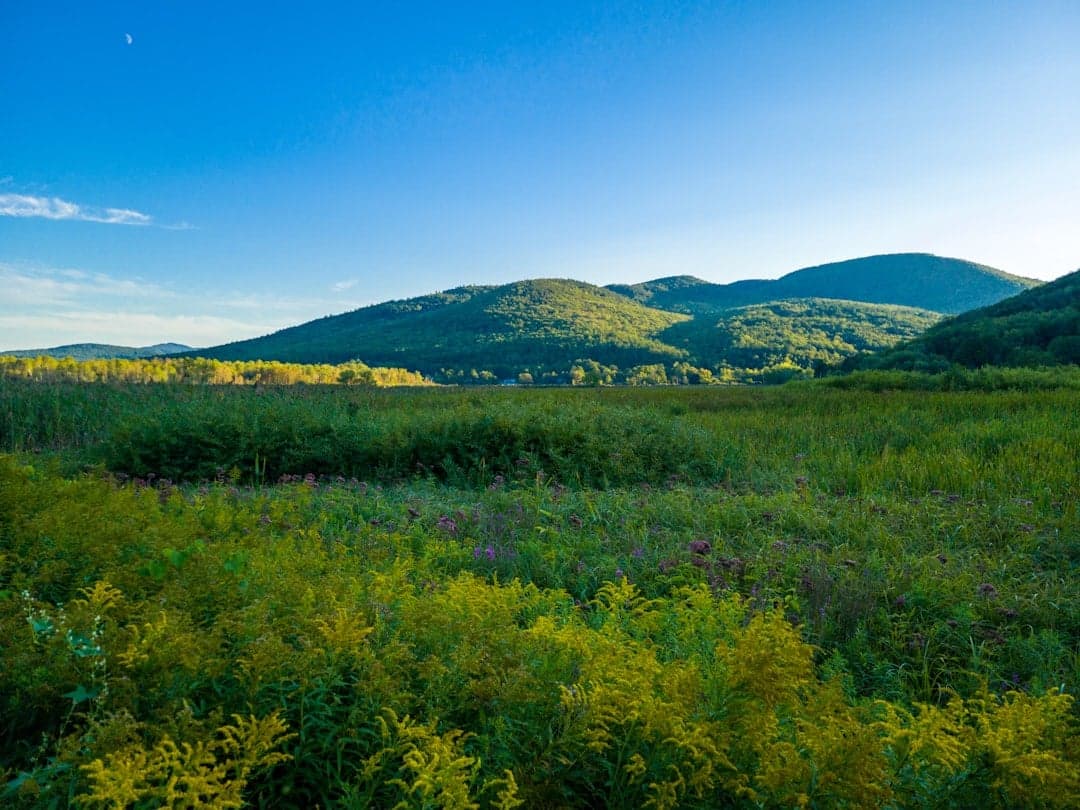
Photo: Nikunj Singh via Unsplash
Strategic Assessment of Rutland, VT
Meaningful friction. Expect exposure to either population pressure, blast zones, or natural disaster risk. Consider buying a retreat property.
What does the Strategic Assessment tell us?
Our Strategic Assessment grades tactical survivability of an area. Major population centers, military targets, fallout zones, natural disasters, and border exposure all drive risk — lower exposure means a more defensible position in a crisis.
This is heavily inspired by Joel Skousen's Strategic Relocation book. Highly recommended you checkout the book ($)What does this tell us?
Our Strategic Assessment grades tactical survivability of an area. Major population centers, military targets, fallout zones, natural disasters, and border exposure all drive risk — lower exposure means a more defensible position in a crisis.
This is heavily inspired by Joel Skousen's Strategic Relocation book. Highly recommended you checkout the book ($)Strategic Pillars

Key Distances
Regional Safe Places
Below is our recommended "safe zones" in Vermont and the surrounding area based on our strategic heuristics. For most people, it's unrealistic to live in a “safe zone” full-time due to work, family or other personal reasons. They tend to be more rural. However, many of these areas are perfect for second homes and retreat properties that double as a vacation home or even a short-term rental.




Important Note: For informational purposes only. This does not mean nothing bad ever happens in the green zones. Please use common sense. This is based on public data and modeled with AI. We tried to take a conservative approach but mistakes happen. We update this regularly as new information becomes available.
Solar Generator Recommendations
Backup power matters more here than in safer locations. We've picked three solar generators across budgets and capacity tiers — start with the budget unit if you only need a few essentials, or step up if you want to run a fridge and HVAC for days at a time.

Jackery Portable Power Station Explorer 300
Budget OptionPower on the Go: Weighing only 11 lbs, it's convenient to set up and store with book-sized foldable solar panels

BLUETTI Portable Power Station AC180
Designed for both indoor and outdoor scenarios, AC180 is highly capable as it has a robost capacity and continuous output power.

EF ECOFLOW DELTA Pro Ultra Power Station
Upgraded PickEcoFlow DELTA Pro Ultra is a whole-home energy system designed to grow with your family. Integrated with the Smart Home Panel 2, it scales to meet your evolving energy needs — keeping your home powered, intelligent, and secure through every stage of life.
We earn a commission, at no additional cost to you.
Strategic Assessment Analysis
Rutland, Vermont, presents a compelling but nuanced case for the relocation-minded reader focused on resilience and self-sufficiency. Its position in the western foothills of the Green Mountains offers a blend of geographic isolation and practical access to resources that is rare in the Northeast, though it is not without significant strategic trade-offs. For a conservative-leaning audience weighing disaster readiness, Rutland’s core advantage is its distance from major metropolitan targets, combined with a working-class infrastructure that can be adapted for long-term sustainability.
Geographic position and natural advantages for long-term security
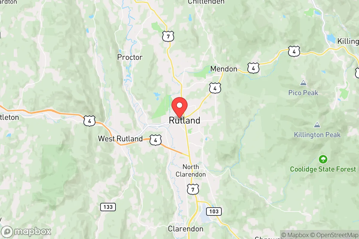
Rutland sits in a valley carved by Otter Creek, surrounded by the Green Mountain National Forest to the east and the Taconic Mountains to the west. This topography provides a natural buffer: the mountains create a physical barrier that slows access from the more populated corridors of the I-89 and I-91 zones. The city itself is roughly 65 miles south of Burlington and 100 miles north of Albany, placing it outside the immediate blast or fallout zones of any major population center. The surrounding forestland is dense and sparsely populated, offering numerous options for remote cabins, hunting camps, or off-grid homesteads within a 30-minute drive. Elevation ranges from about 600 feet in the valley floor to over 3,000 feet in the adjacent peaks, which means cooler summers and reliable snowpack in winter—a mixed blessing for agriculture but a clear advantage for water storage and natural cooling. The region’s geology is primarily metamorphic rock with decent groundwater potential, and the many small streams and ponds fed by mountain runoff provide a distributed water source that is less vulnerable to contamination than a single reservoir system. For a relocator, the key takeaway is that Rutland’s geography offers defensible terrain and multiple egress routes via VT-4, VT-7, and US-4, though none are interstate-grade, which limits rapid evacuation but also reduces the risk of choke-point congestion during a crisis.
Risks, exposures, and proximity to fallout-relevant landmarks
No resilience assessment is honest without addressing the negatives. Rutland’s primary man-made risk is its proximity to the Vermont Yankee nuclear site in Vernon, about 70 miles south, which is in decommissioning but still houses spent fuel in dry casks. A catastrophic event there—whether accident or attack—could send a plume up the Connecticut River Valley, though prevailing winds typically carry fallout eastward, away from Rutland. More immediately concerning is the city’s location relative to the New York City–Boston–Montreal triangle. While Rutland itself is not a target, it lies within the secondary fallout zone of a major nuclear exchange targeting those metros. Fallout from a ground burst in NYC could reach Rutland within 6–12 hours under westerly winds, though the mountains would provide some shielding. The city also sits near the intersection of two major natural gas pipelines (the Portland Natural Gas Transmission System and the Vermont Gas System), which could be disruption points. On the natural hazard side, Rutland is in a moderate seismic zone—the 2011 Mineral, Virginia earthquake was felt here—but the risk of a damaging quake is low. Flooding is the most frequent natural threat: Otter Creek and its tributaries have caused significant inundation in 2011 (Tropical Storm Irene) and 2023, with the downtown area and low-lying neighborhoods like West Rutland being most exposed. Wildfire risk is minimal due to the region’s high moisture and deciduous forest mix, though drought years increase the hazard slightly. Winter storms are the most predictable disruption, with the city averaging 80 inches of snow annually, which can knock out power for days and make roads impassable for non-4WD vehicles.
Practical resilience for a relocator: food, water, energy, and defensibility
For a family or individual serious about self-sufficiency, Rutland offers a mix of strengths and gaps. Water is abundant: the city draws from a protected surface water source (the Mill River watershed) with a 2.5-million-gallon storage tank, but private wells are common in the surrounding towns and typically yield 5–15 gallons per minute at depths of 100–300 feet. A hand pump or solar-powered well setup is feasible for off-grid living. Food resilience is moderate. The growing season is short (roughly 120 days between last and first frost), but the valley soil is fertile loam, and there is a strong local farming culture. The Rutland Farmers’ Market operates May through October, and the city is within 20 miles of dozens of small dairy, vegetable, and meat operations. However, large-scale grain production is not viable here, meaning long-term food storage would need to rely on imported staples like wheat and rice, which could become scarce in a prolonged crisis. Hunting and fishing are excellent: deer, turkey, and small game are plentiful in the national forest, and Otter Creek and Lake Bomoseen (10 miles west) provide perch, bass, and trout. Energy resilience is a mixed picture. The grid is served by Green Mountain Power, which has a strong tree-trimming program but still experiences outages averaging 2–4 hours per year from storms. Solar potential is moderate—the region gets about 160 sunny days annually, less than the national average—but rooftop solar with battery storage is viable, especially on south-facing slopes. Wood heat is the dominant backup: nearly 40% of homes in Rutland County use wood as a primary or secondary heat source, and firewood is readily available for $200–$300 per cord delivered. Defensibility is good for a small city: the valley layout means only a few roads lead in, and the surrounding hills provide natural observation points. The local police force is professional but small (about 40 officers), and the county sheriff’s office covers the rural areas. For a relocator, the practical recommendation is to secure a property with a well, a wood stove, and southern exposure for solar, ideally on a dead-end road off the main valley floor.
The overall strategic picture for Rutland is one of moderate resilience with clear trade-offs. It is not a hardened bunker location like the remote Rockies, nor is it a high-risk coastal or urban zone. Its strengths are its distance from primary targets, abundant water and wood, and a community that still values self-reliance and neighborly assistance. Its weaknesses are a short growing season, moderate solar potential, and a location that could see secondary fallout from a major East Coast strike. For the relocator who is willing to invest in a well, solar panels, and a year’s worth of stored food, Rutland offers a defensible, livable base that balances access to medical care (Rutland Regional Medical Center is a solid Level III trauma center) with the ability to retreat into the surrounding forest. It is not a paradise of perfect security, but it is a pragmatic choice for someone who wants to be out of the blast zone without being completely cut off from civilization. The key is to treat Rutland as a hub—a place to build a resilient home base while maintaining relationships with suppliers and neighbors in the broader region. In a serious long-term disruption, the mountains and the people here will be assets, not liabilities.

* Values derived from national, state, county, city and local statistics and may differ in a specific area. Last updated: 2026-06-14T04:33:35.000Z
Narrative content on this page is AI-generated and may contain mistakes. Verify any details that matter before acting on them.
ReloMaps may earn a commission from affiliate links at no extra cost to you.

