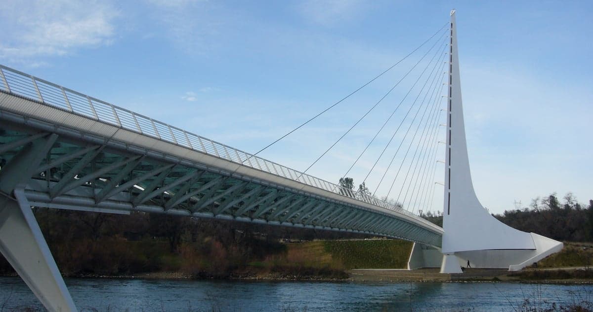
Photo: Wikipedia
Strategic Assessment of Redding, CA
Workable tactical position. Some exposure to population density or targets, but generally defensible in a crisis.
What does the Strategic Assessment tell us?
Our Strategic Assessment grades tactical survivability of an area. Major population centers, military targets, fallout zones, natural disasters, and border exposure all drive risk — lower exposure means a more defensible position in a crisis.
This is heavily inspired by Joel Skousen's Strategic Relocation book. Highly recommended you checkout the book ($)What does this tell us?
Our Strategic Assessment grades tactical survivability of an area. Major population centers, military targets, fallout zones, natural disasters, and border exposure all drive risk — lower exposure means a more defensible position in a crisis.
This is heavily inspired by Joel Skousen's Strategic Relocation book. Highly recommended you checkout the book ($)Strategic Pillars

Key Distances
Regional Safe Places
Below is our recommended "safe zones" in California and the surrounding area based on our strategic heuristics. For most people, it's unrealistic to live in a “safe zone” full-time due to work, family or other personal reasons. They tend to be more rural. However, many of these areas are perfect for second homes and retreat properties that double as a vacation home or even a short-term rental.




Important Note: For informational purposes only. This does not mean nothing bad ever happens in the green zones. Please use common sense. This is based on public data and modeled with AI. We tried to take a conservative approach but mistakes happen. We update this regularly as new information becomes available.
Solar Generator Recommendations
Backup power matters more here than in safer locations. We've picked three solar generators across budgets and capacity tiers — start with the budget unit if you only need a few essentials, or step up if you want to run a fridge and HVAC for days at a time.

Jackery Portable Power Station Explorer 300
Budget OptionPower on the Go: Weighing only 11 lbs, it's convenient to set up and store with book-sized foldable solar panels

BLUETTI Portable Power Station AC180
Designed for both indoor and outdoor scenarios, AC180 is highly capable as it has a robost capacity and continuous output power.

EF ECOFLOW DELTA Pro Ultra Power Station
Upgraded PickEcoFlow DELTA Pro Ultra is a whole-home energy system designed to grow with your family. Integrated with the Smart Home Panel 2, it scales to meet your evolving energy needs — keeping your home powered, intelligent, and secure through every stage of life.
We earn a commission, at no additional cost to you.
Strategic Assessment Analysis
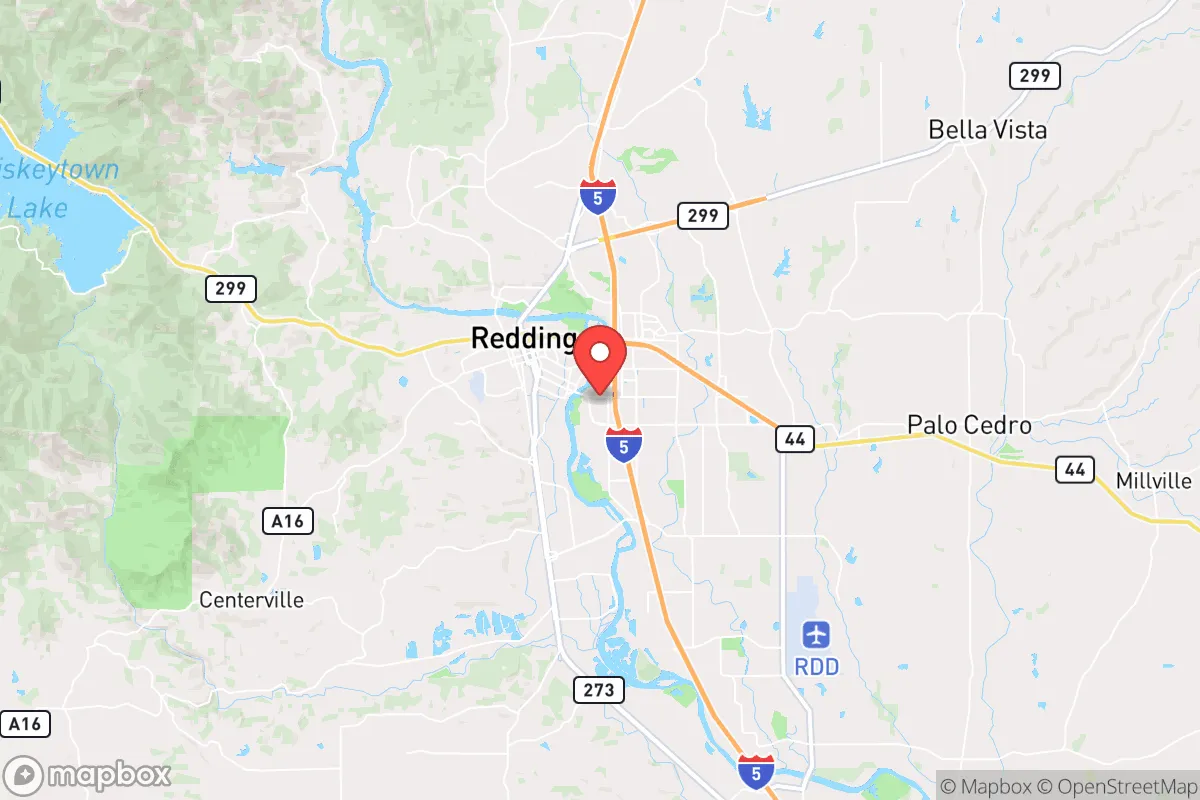
Redding, California, offers a surprisingly strong strategic position for those prioritizing disaster readiness and self-sufficiency, thanks to its location at the northern end of the Central Valley and its proximity to vast, sparsely populated wilderness. While it is not immune to risks—particularly from wildfire and seismic activity—its distance from major metropolitan targets and its access to abundant natural resources make it a compelling option for relocators who value resilience over convenience. The city’s population of roughly 95,000 sits in Shasta County, a region that leans conservative and has a strong culture of self-reliance, which aligns well with preparedness-minded individuals and families.
Geographic position and natural advantages for self-sufficiency
Redding’s geographic position is its single greatest asset for resilience. It sits at the confluence of the Sacramento River and the Trinity River, providing a reliable, year-round water supply that is rare in much of California. The surrounding landscape is dominated by the Shasta-Trinity National Forest, the largest national forest in the state, which offers abundant timber, wildlife, and off-grid potential. The city itself is nestled in the Sacramento Valley, shielded by the Cascade Range to the north and the Klamath Mountains to the west, creating a natural buffer against coastal weather extremes and providing multiple escape routes via Interstate 5 and State Route 299. For a relocator, this means access to over 2 million acres of public land for hunting, foraging, and retreat, as well as a climate that supports year-round gardening—hot, dry summers and mild, wet winters. The nearby Shasta Dam, which forms Shasta Lake, is a critical water storage and hydroelectric facility, giving the region a degree of energy independence that many other areas lack. The terrain also offers natural defensibility: the surrounding mountains and river corridors create chokepoints that could be controlled in a grid-down scenario, while the city itself is compact enough to be patrolled or secured by a determined community.
Risks, exposures, and proximity to fallout-relevant landmarks
No location is without vulnerabilities, and Redding faces several significant risks that a strategic relocator must weigh. The most immediate threat is wildfire: the 2018 Carr Fire burned over 229,000 acres, destroyed more than 1,600 structures, and forced the evacuation of nearly 40,000 people. The city sits in a high-risk fire zone, with dry vegetation and seasonal winds (the "Diablo winds") that can turn a small ignition into a catastrophic event. Wildfire risk is the primary exposure for anyone considering Redding, and it requires proactive mitigation—defensible space, fire-resistant construction, and a go-bag ready at all times. Seismic activity is a secondary concern: the region experiences moderate earthquakes from the Cascadia subduction zone and local faults, though major quakes are less frequent than in coastal California. On the man-made risk side, Redding’s distance from major urban centers is a double-edged sword. It is roughly 160 miles from Sacramento and 220 miles from San Francisco, placing it outside the immediate blast radius of a nuclear strike on those cities, but still within the fallout zone depending on wind patterns. The city is also about 100 miles from the Oregon border, which could be a strategic corridor in a crisis. More concerning is the proximity to the Shasta Dam—a high-value target for sabotage or attack. A breach of the dam would inundate much of the Sacramento Valley, including Redding, with a catastrophic flood wave. While the dam is hardened and guarded, it remains a single point of failure for the entire region. Additionally, the city is near the Whiskeytown National Recreation Area, which has a history of landslides and debris flows after fires, adding another layer of geological risk.
Practical resilience for a relocator: food, water, energy, and defensibility
For a relocator focused on practical resilience, Redding offers a strong baseline that can be enhanced with modest effort. Water is abundant: the Sacramento River flows through the city year-round, and groundwater is accessible in many areas, though permits are required for wells. The city’s municipal water supply is treated and reliable, but a well with a hand pump or a rainwater catchment system would provide true independence. Food production is viable thanks to a long growing season (roughly 200 frost-free days) and fertile valley soil. Local farmers’ markets are robust, and the surrounding agricultural area produces almonds, walnuts, olives, and livestock. For those willing to hunt, the national forests offer deer, wild pig, and turkey, while the rivers provide salmon and steelhead (though fishing regulations apply). Energy resilience is mixed: the grid is served by Pacific Gas & Electric (PG&E), which has a poor track record for reliability, especially during fire season when public safety power shutoffs (PSPS) are common. However, the region’s high solar insolation makes rooftop solar with battery storage a practical investment, and many rural properties already use propane or wood for heating. The city’s defensibility is moderate: it is a small city with a low crime rate relative to California averages, but it is not a fortress. The surrounding mountains and rivers create natural barriers, but the I-5 corridor is a major transit route that could bring refugees or looters in a crisis. Community resilience is a real asset—Shasta County has a strong network of preparedness groups, ham radio operators, and gun clubs, reflecting a culture that values self-sufficiency. The local government has also invested in emergency response infrastructure, including a county-wide alert system and multiple fire stations, though resources can be stretched during large-scale events.
The overall strategic picture for Redding is one of high potential tempered by real, manageable risks. It is not a bug-out location for those seeking total isolation—it is a functioning city with hospitals, schools, and supply chains that can support a family while offering a launch point for deeper wilderness retreat. The wildfire risk is the most pressing concern and requires constant vigilance, but it is a known hazard that can be mitigated with planning and insurance. The proximity to Shasta Dam and major urban fallout zones is a genuine vulnerability, but one that is offset by the region’s natural resources and distance from primary targets. For a conservative-leaning relocator who values self-reliance, community, and access to land and water, Redding represents a solid, defensible choice—provided they come prepared to work with the landscape rather than against it. The key is to treat it as a base of operations, not a final redoubt, and to invest in the relationships and infrastructure that make true resilience possible.

* Values derived from national, state, county, city and local statistics and may differ in a specific area. Last updated: 2026-10-05T17:06:14.000Z
Narrative content on this page is AI-generated and may contain mistakes. Verify any details that matter before acting on them.
ReloMaps may earn a commission from affiliate links at no extra cost to you.

