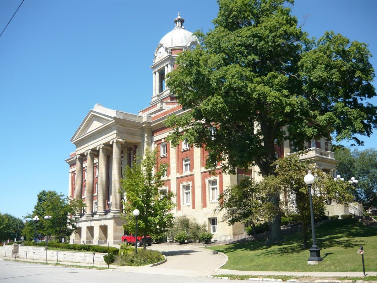
Photo: Wikipedia
Strategic Assessment of Mercer County
Meaningful friction. Expect exposure to either population pressure, blast zones, or natural disaster risk. Consider buying a retreat property.
What does the Strategic Assessment tell us?
Our Strategic Assessment grades tactical survivability of an area. Major population centers, military targets, fallout zones, natural disasters, and border exposure all drive risk — lower exposure means a more defensible position in a crisis.
This is heavily inspired by Joel Skousen's Strategic Relocation book. Highly recommended you checkout the book ($)What does this tell us?
Our Strategic Assessment grades tactical survivability of an area. Major population centers, military targets, fallout zones, natural disasters, and border exposure all drive risk — lower exposure means a more defensible position in a crisis.
This is heavily inspired by Joel Skousen's Strategic Relocation book. Highly recommended you checkout the book ($)Strategic Pillars

Key Distances
Strategic Assessment Analysis
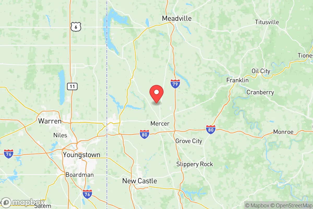
Mercer County, Pennsylvania, offers a compelling strategic profile for relocation-minded individuals and families who prioritize resilience, self-sufficiency, and a buffer from major metropolitan vulnerabilities. Situated in the far western corner of the state, roughly 60 miles north of Pittsburgh and 75 miles southeast of Cleveland, the county occupies a position that balances rural quiet with access to essential infrastructure, while remaining far enough from high-density population centers to reduce exposure to many cascading risks. Its rolling hills, abundant farmland, and modest population density of about 110 people per square mile create a foundation for a lifestyle that is both grounded and prepared.
Geographic position and natural advantages for long-term stability
Mercer County’s geography is defined by the glaciated Allegheny Plateau, which provides gently undulating terrain, well-drained soils, and a climate that supports diverse agriculture. The county is part of the Shenango River watershed, with the river itself flowing through the county seat of Mercer and the borough of Sharon, offering a reliable surface water source. The area sits atop the Appalachian Basin, which contains significant freshwater aquifers, though most residents rely on municipal systems or private wells. The region’s elevation—averaging around 1,000 feet above sea level—places it above the flood-prone lowlands of the Ohio River Valley, reducing the risk of catastrophic flooding. The county’s position in the Lake Erie snowbelt means heavier winter precipitation, which can be a challenge for transportation but also ensures consistent groundwater recharge. For a relocator, the key natural advantage is the combination of arable land, moderate climate (USDA Hardiness Zone 6a), and low seismic risk—the area experiences virtually no earthquake activity. The nearest major fault line, the New Madrid Seismic Zone, is over 500 miles away, making Mercer County one of the more geologically stable regions east of the Mississippi.
Risks, exposures, and proximity to fallout-relevant landmarks
While Mercer County avoids the worst of coastal hurricane threats and major seismic hazards, it is not without exposure. The primary natural risk is severe winter storms, which can produce ice accumulations and power outages lasting several days, particularly in rural areas like Greenville and Grove City. Tornado risk is moderate—western Pennsylvania averages about 2-3 tornadoes per county per decade, typically EF-0 to EF-1 strength. More significant for the strategic-minded relocator is the county’s proximity to man-made hazards. The Bruce Mansfield Power Plant (a coal-fired facility) in nearby Shippingport, Beaver County, is roughly 30 miles south, and while decommissioning is underway, legacy coal ash ponds remain a concern. The Westinghouse Nuclear Facility in Madison, PA (about 40 miles southeast) is a research and fuel fabrication site, not a power reactor, but any nuclear-related facility warrants awareness. The county itself hosts no major refineries or chemical plants, but the Shell Petrochemical Complex in Beaver County (about 35 miles south) is a significant industrial landmark that could be a target in a broader conflict scenario. On the positive side, Mercer County is far from any major military installations—the nearest is the Youngstown Air Reserve Station in Vienna, Ohio (about 20 miles west), which is a small cargo and refueling base, not a high-value strategic target. The county’s distance from major metropolitan areas (Pittsburgh, Cleveland, Buffalo) means it would likely avoid direct fallout from a city-targeting event, though prevailing westerly winds could carry particulate from a strike on Cleveland or Youngstown. For a relocator, the risk profile is moderate: winter weather is the most likely disruption, while industrial and geopolitical risks are present but lower than in regions closer to the Gulf Coast or the Northeast Corridor.
Practical resilience for a relocator: food, water, energy, and defensibility
Mercer County’s practical resilience is one of its strongest selling points. The county is a significant agricultural producer, with over 1,200 farms covering nearly 140,000 acres. Major crops include corn, soybeans, hay, and oats, along with dairy and livestock operations. The Mercer County Cooperative Extension in Mercer borough provides resources for home gardening, food preservation, and small-scale farming. For a relocator seeking food security, the county’s Amish and Mennonite communities—concentrated around Fredonia and Jackson Center—maintain traditional farming practices and local food networks that could be tapped in a crisis. Water availability is generally good: the Shenango River and its tributaries (including the Little Shenango and Neshannock Creek) provide surface water, while groundwater is accessible via wells at depths of 50-150 feet. Municipal water systems in Sharon, Hermitage, and Grove City are sourced from the Shenango River and treated at the Sharon Water Treatment Plant, which has backup generators. For off-grid capability, the county’s rural zoning allows for private wells and septic systems without excessive permitting hurdles. Energy resilience is mixed: the county is served by Penn Power (a FirstEnergy subsidiary), and power outages from winter storms are common, lasting 4-12 hours on average. However, the region’s natural gas infrastructure is robust, with the Texas Eastern Transmission pipeline running through the county, providing a potential backup heating source for properties with gas hookups. Solar potential is moderate—the area receives about 180 sunny days per year, below the national average of 205, but sufficient for supplemental solar with battery storage. Defensibility is a subjective factor, but Mercer County’s layout offers advantages: the county is crisscrossed by state routes and U.S. Route 62, but lacks major interstate highways (I-80 and I-79 are just outside the county line), which reduces through-traffic and potential evacuation chokepoints. The terrain of rolling hills and wooded areas provides natural cover and multiple egress routes. For a family, the county’s small-town character—with a population of about 110,000 spread across 680 square miles—means neighbors are known, and community ties are strong, which is a resilience factor often overlooked in urban-centric preparedness planning.
The overall strategic picture for Mercer County is one of balanced, moderate resilience with specific strengths in food production, water availability, and distance from high-value targets. It is not a remote wilderness—it has the infrastructure of a working rural county, with hospitals (Sharon Regional Medical Center, Grove City Medical Center), schools, and supply chains that function reliably. For the relocator who values preparedness without isolation, Mercer County offers a realistic middle ground: close enough to Pittsburgh and Cleveland for medical and economic access, but far enough to avoid the worst of urban collapse scenarios. The winters require preparation, and the industrial sites to the south warrant awareness, but the county’s agricultural base, stable geology, and community-oriented culture make it a defensible choice for those thinking seriously about long-term resilience. It is not a bunker—it is a place to live well while being ready.

* Values derived from national, state, county, city and local statistics and may differ in a specific area. Last updated: 2026-07-07T07:11:25.000Z
Narrative content on this page is AI-generated and may contain mistakes. Verify any details that matter before acting on them.
ReloMaps may earn a commission from affiliate links at no extra cost to you.

