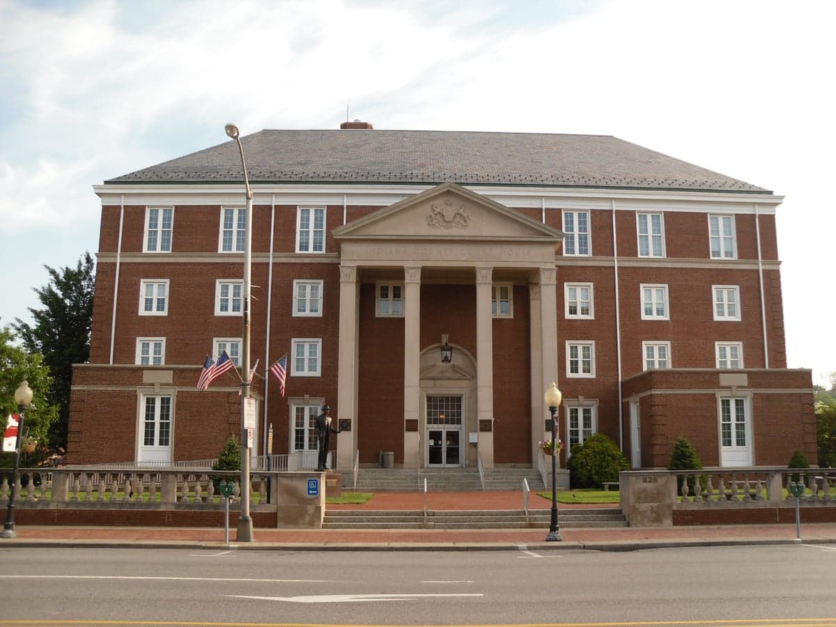
Photo: Wikipedia
Strategic Assessment of Indiana County
Meaningful friction. Expect exposure to either population pressure, blast zones, or natural disaster risk. Consider buying a retreat property.
What does the Strategic Assessment tell us?
Our Strategic Assessment grades tactical survivability of an area. Major population centers, military targets, fallout zones, natural disasters, and border exposure all drive risk — lower exposure means a more defensible position in a crisis.
This is heavily inspired by Joel Skousen's Strategic Relocation book. Highly recommended you checkout the book ($)What does this tell us?
Our Strategic Assessment grades tactical survivability of an area. Major population centers, military targets, fallout zones, natural disasters, and border exposure all drive risk — lower exposure means a more defensible position in a crisis.
This is heavily inspired by Joel Skousen's Strategic Relocation book. Highly recommended you checkout the book ($)Strategic Pillars

Key Distances
Strategic Assessment Analysis
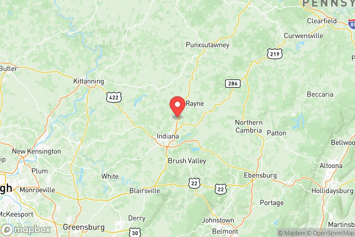
Indiana County, Pennsylvania, occupies a strategic middle ground that appeals to relocation-minded readers prioritizing resilience and self-sufficiency. Situated roughly 50 miles northeast of Pittsburgh and 90 miles west of State College, the county offers a blend of rural living, small-town infrastructure, and meaningful distance from major metropolitan vulnerabilities. Its population of roughly 83,000 is spread across a landscape of rolling hills, hardwood forests, and working farmland, giving it a character that feels both settled and uncrowded. For a reader assessing long-term preparedness, Indiana County presents a credible option — not without risks, but with enough geographic and practical advantages to warrant serious consideration.
Geographic position and natural advantages for long-term stability
Indiana County sits within the Allegheny Plateau, a region defined by ridges, valleys, and a temperate climate that avoids the extremes of both the Great Lakes snowbelt and the Ohio River floodplain. The county's elevation — much of it between 1,200 and 1,600 feet — provides natural drainage and reduces the risk of catastrophic flooding that plagues lower-lying areas along the Conemaugh and Kiskiminetas rivers. The borough of Indiana, the county seat, lies along the West Branch of the Susquehanna River's headwaters, but the terrain limits the kind of basin-wide flood events seen in places like Johnstown. The county is also far enough inland to be insulated from hurricane storm surge and coastal sea-level rise, and its position east of the Allegheny Front means it receives less lake-effect snow than counties farther north and west. For a relocator thinking in decades, these are meaningful baseline advantages: no coastal erosion, no major earthquake zones, and a climate that supports mixed agriculture without extreme drought risk.
Risks, exposures, and proximity to fallout-relevant landmarks
No location is without risk, and Indiana County has specific exposures that a strategic-minded reader should weigh. The county is within 50 miles of the Beaver Valley Nuclear Power Station, located in Shippingport, Pennsylvania, about 40 miles southwest of Indiana. While the plant is a Generation II pressurized water reactor with a solid safety record, its presence places the county within the 50-mile ingestion pathway zone used by the NRC for emergency planning. Additionally, the county lies roughly 60 miles from the Pittsburgh metropolitan area, which includes industrial sites along the Ohio and Monongahela rivers, including chemical plants, steel facilities, and the Pittsburgh International Airport — a potential staging area for military or relief operations in a crisis. The county itself hosts no major military bases, refineries, or ports, which is a double-edged sword: it reduces the likelihood of being a direct target in a conflict, but also means limited local heavy infrastructure for emergency logistics. The boroughs of Blairsville, Homer City, and Clymer contain legacy coal mining operations and associated power generation — the Homer City Generating Station is one of the largest coal plants in Pennsylvania — which could be a liability in terms of air quality during a prolonged grid-down scenario, but also represents a local energy asset if managed properly. For the resilience-minded relocator, the key takeaway is that Indiana County is not a zero-risk zone, but its risks are primarily regional rather than local, and its distance from high-value targets like Pittsburgh's industrial corridor or the Philadelphia metro area is a net positive.
Practical resilience for a relocator: food, water, energy, and defensibility
Indiana County's practical resilience rests on three pillars: water availability, agricultural capacity, and a dispersed population pattern that supports low-key community organization. The county sits atop the Allegheny Plateau aquifer system, and groundwater is generally accessible at moderate depths — many rural properties rely on private wells, and surface water from streams like the Little Mahoning Creek, Blacklick Creek, and Two Lick Creek provides supplementary sources. Annual precipitation averages around 40 inches, evenly distributed through the year, which supports rain-fed agriculture without heavy irrigation. The county's agricultural sector is modest but real: roughly 1,200 farms cover about 40% of the land area, with a mix of dairy, beef, hay, corn, and soybeans. The Indiana County Farmers Market and local CSAs in communities like Penn Run and Shelocta offer direct-to-consumer channels, and the presence of Amish and Mennonite farming communities in the southern part of the county adds a layer of low-tech, resilient food production that operates outside industrial supply chains. For energy, the county benefits from its position in the Marcellus Shale region: natural gas extraction is active, and while the environmental trade-offs are real, the local availability of gas for heating and backup generation is a strategic asset. The Homer City Generating Station, despite its age, provides baseload coal-fired electricity and employs several hundred people, anchoring a local grid that is less dependent on long-distance transmission than areas farther from generation sources. Defensibility is harder to quantify, but the county's topography — narrow valleys, forested ridgelines, and a road network that funnels traffic through a handful of state routes (422, 286, 119) — creates natural chokepoints. The county is not easily approached from any direction without passing through a limited number of corridors, which could be an advantage in a scenario requiring perimeter awareness. The population density of roughly 90 people per square mile means that most residents are not in close proximity to neighbors, reducing the friction of community conflict while still allowing for mutual aid networks to form around churches, volunteer fire departments, and township governments.
The overall strategic picture for Indiana County is one of moderate, grounded resilience. It does not offer the extreme isolation of a deep-rural Montana county or the fortress-like defensibility of a mountain redoubt, but it also avoids the vulnerabilities that come with those extremes: thin supply chains, harsh winters, and limited medical access. Indiana County has a functioning regional hospital (Indiana Regional Medical Center), a university (Indiana University of Pennsylvania) that could serve as a coordination hub, and a county emergency management office that participates in regional planning through the Southwestern Pennsylvania Emergency Response Group. For a relocator who wants to be far enough from Pittsburgh to avoid its worst-case scenarios but close enough to access its medical and logistical resources when conditions are stable, Indiana County occupies a useful middle position. It is not a bug-out location for the prepper seeking total autonomy, but it is a credible long-term home for someone building a resilient life — with good water, workable land, and a community that is neither too dense to function nor too sparse to help. The risks are real but manageable, and the advantages are structural rather than speculative. That combination, in the current strategic environment, is worth a close look.

* Values derived from national, state, county, city and local statistics and may differ in a specific area. Last updated: 2026-07-06T10:59:51.000Z
Narrative content on this page is AI-generated and may contain mistakes. Verify any details that matter before acting on them.
ReloMaps may earn a commission from affiliate links at no extra cost to you.

